The view from my tent was quite different today, with yesterday’s golden sunset replaced by a rainy night and morning. I woke up at six, nipped out for a quick pee, but before I could do anything more it started raining again, so I was forced to laze around in the tent for an hour. At seven there was a break in the rain so I could pack standing up (instead of curled up in the tent) and get on my way.
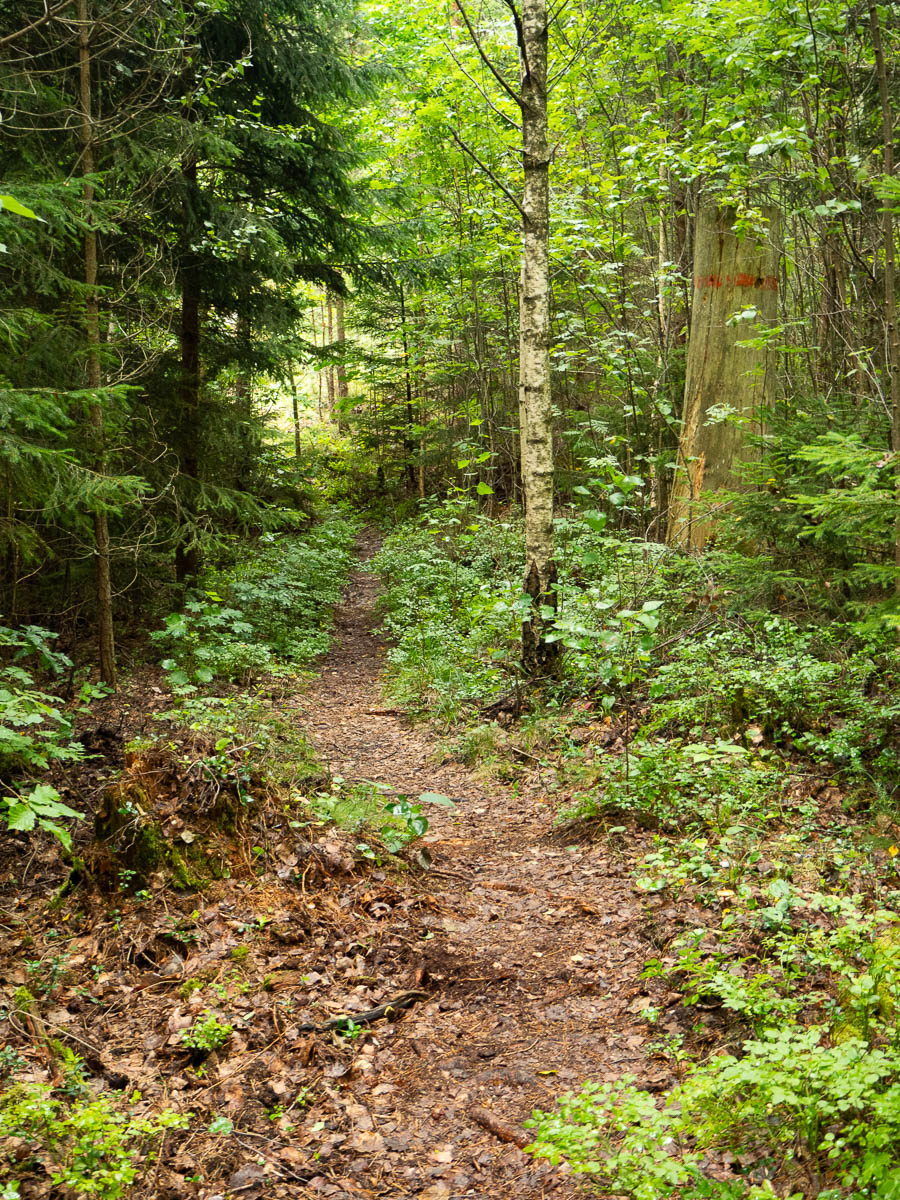
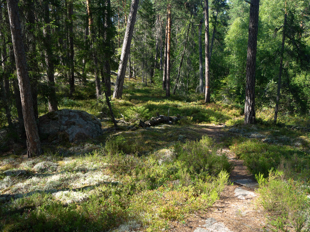
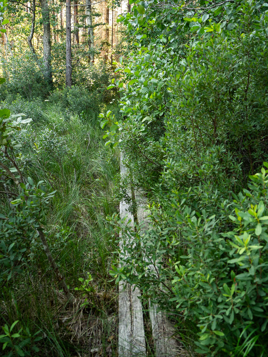
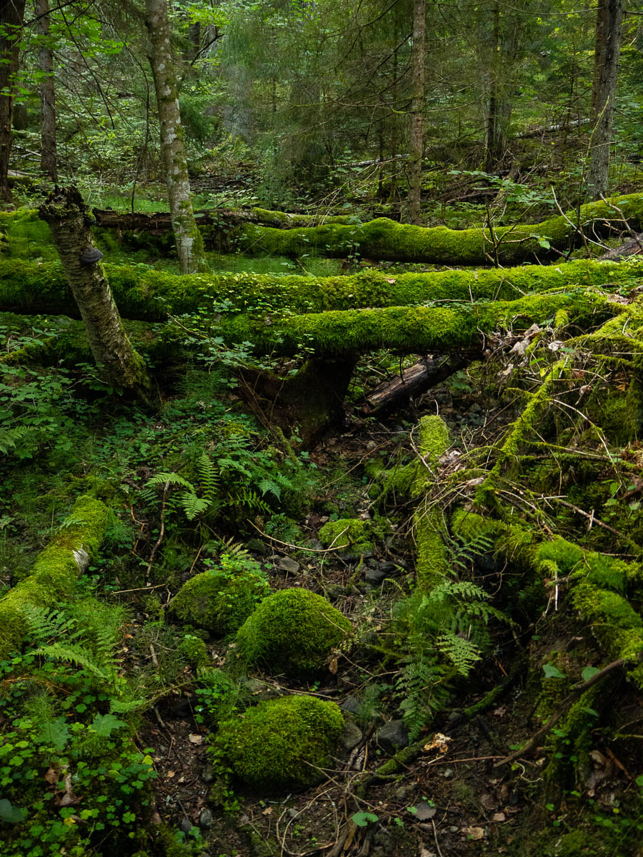
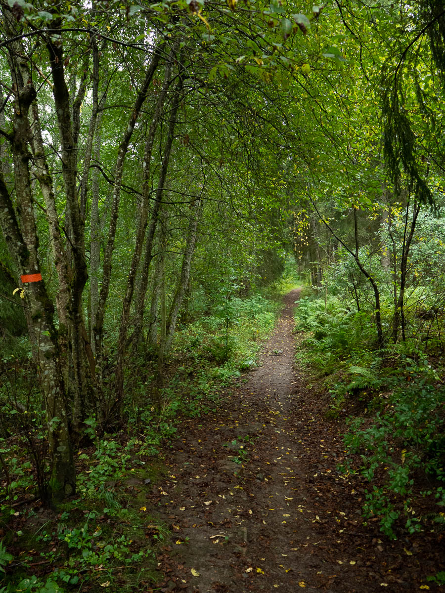
There were a few brief, light showers later, but most of the time was rain-free. I just got water from below. After a night of off-and-on rain, the forest was all wet, which was especially noticeable on the more overgrown sections of the trail. The undergrowth doesn’t even need to be tall, it just needs to be right next to the path to soak you. It felt like I wiped off and redistributed all the water on all the blueberry bushes in the whole forest. My trousers legs were absolutely dripping.
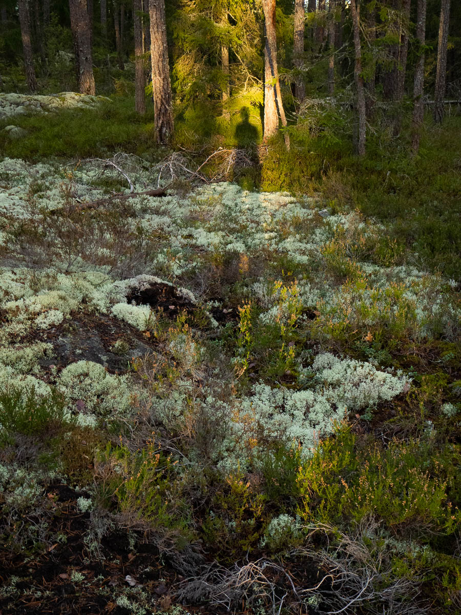
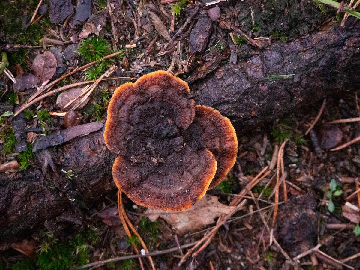
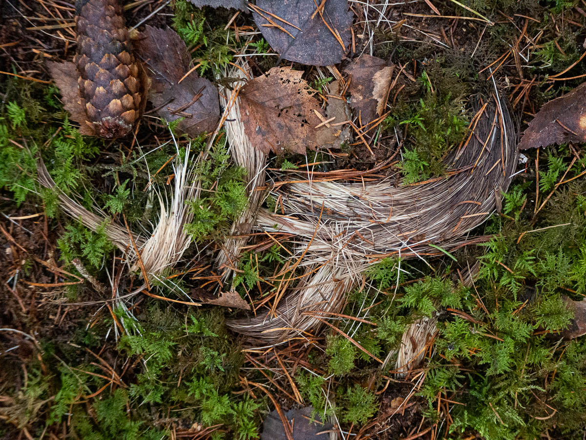
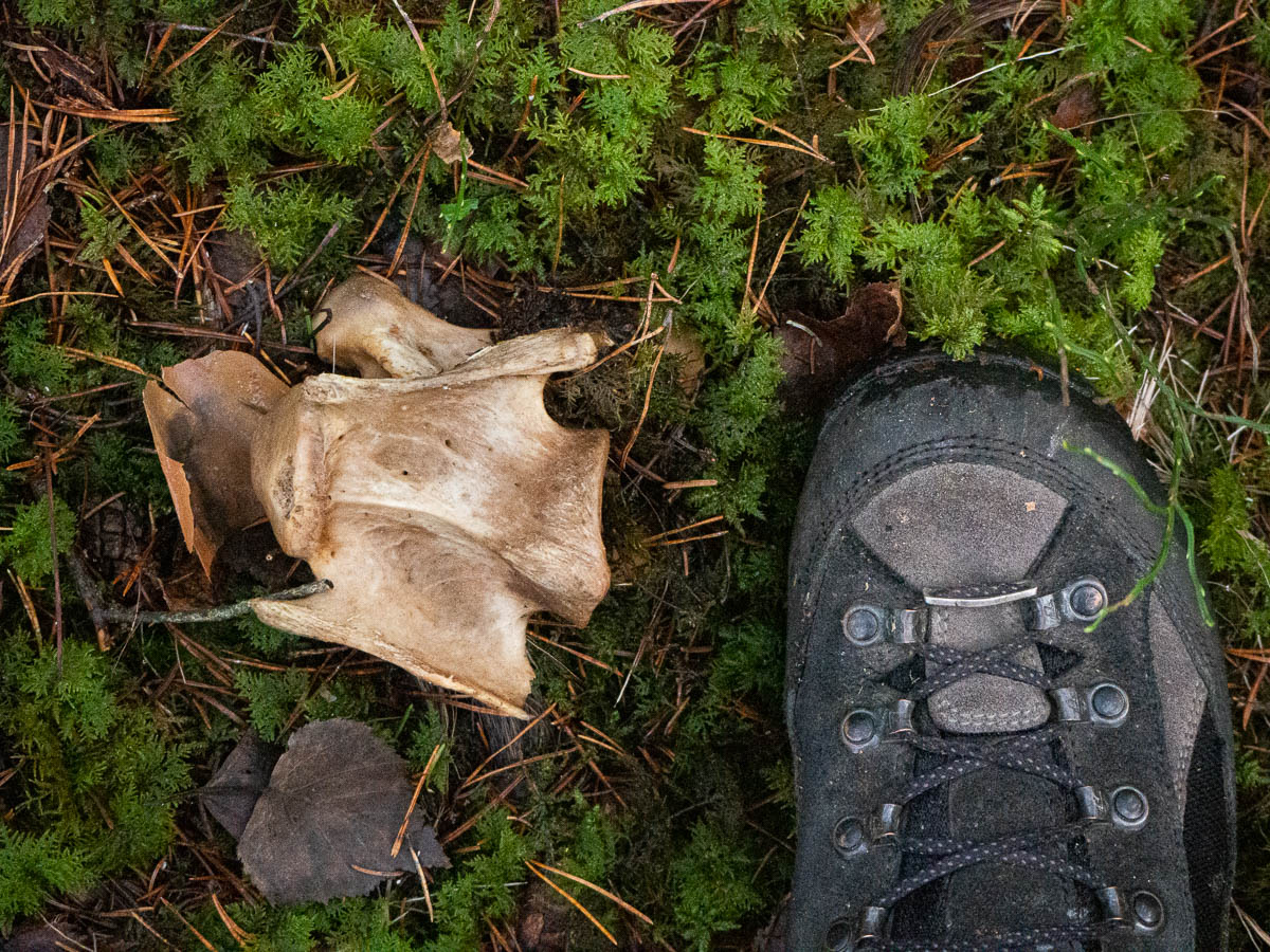
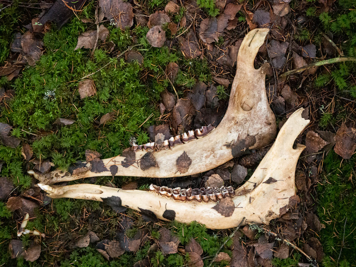
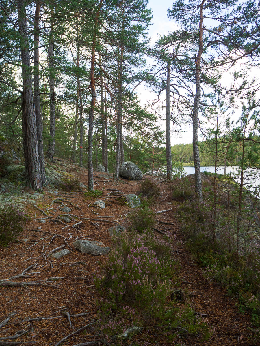
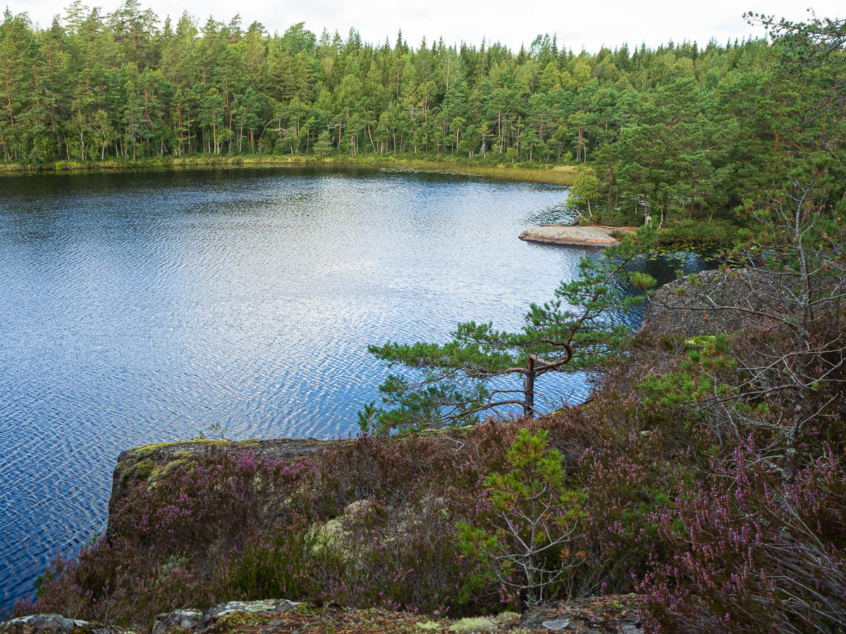
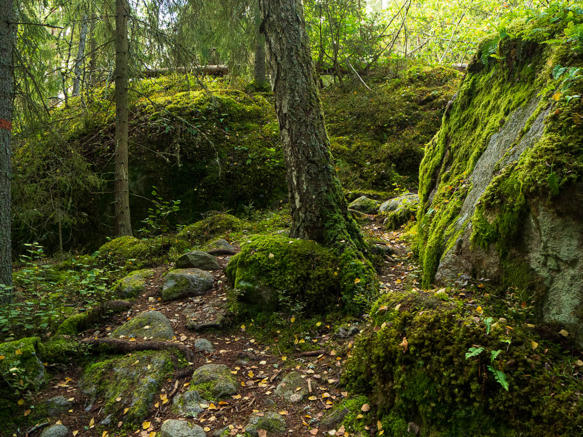
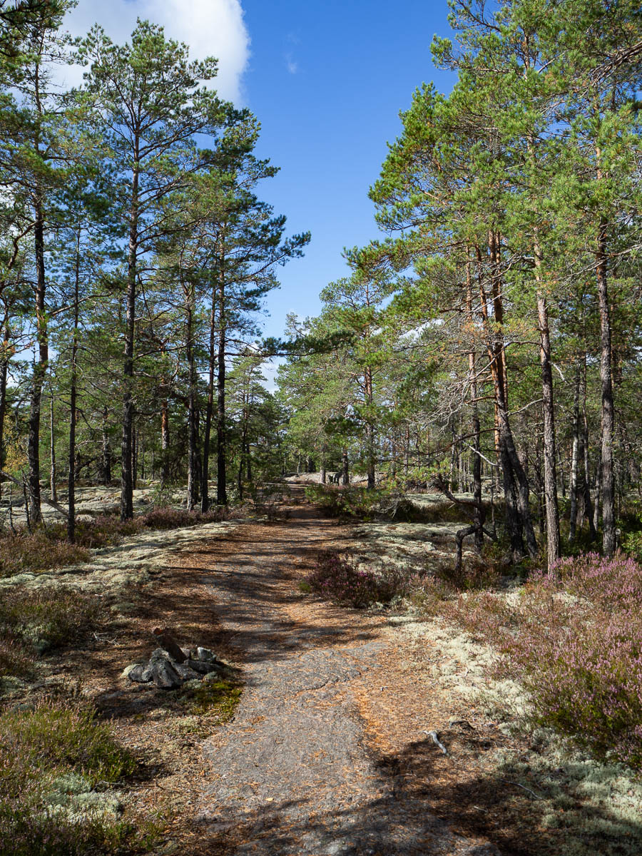
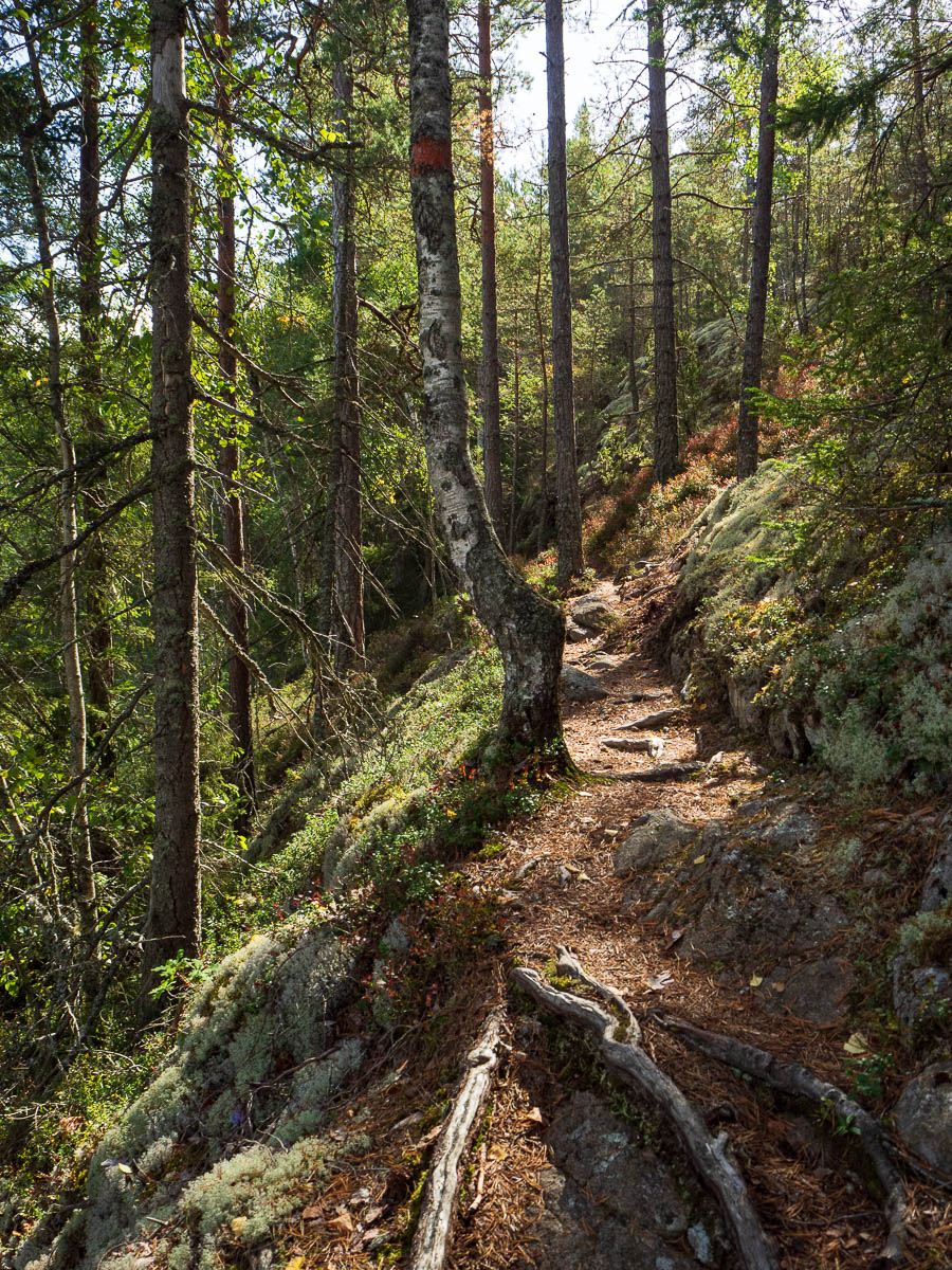
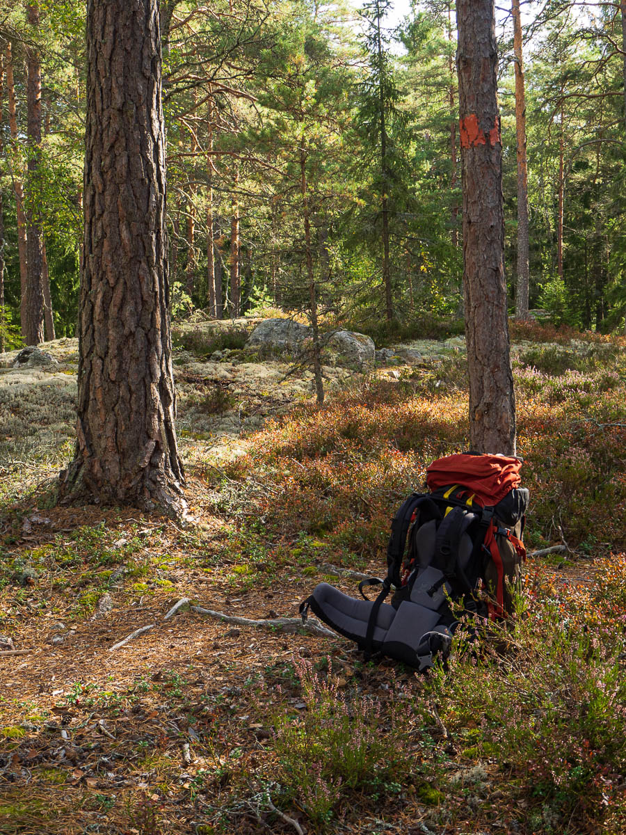
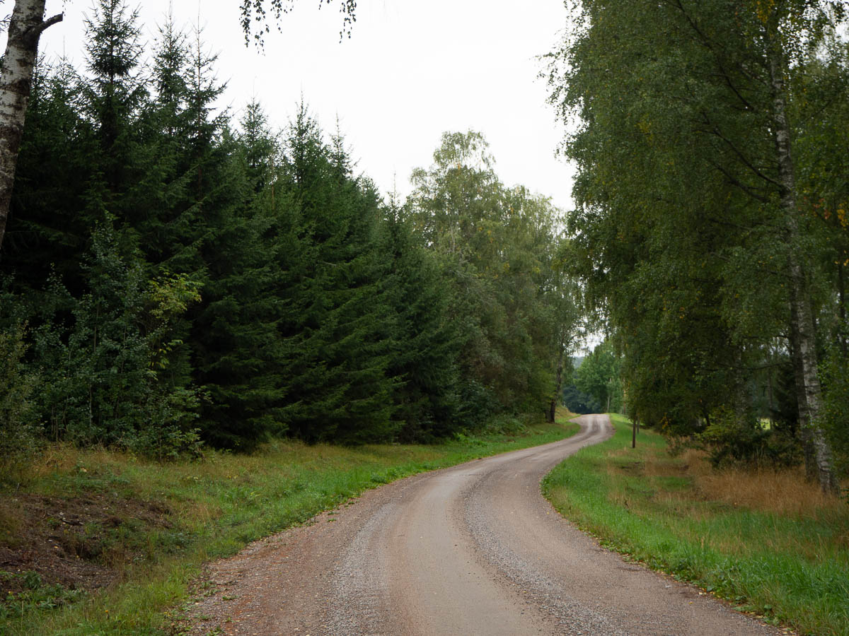
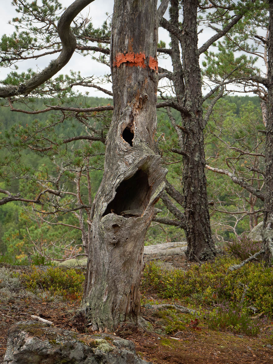
What can there be to photograph when I am walking the exact same route as yesterday, with nothing new? (Apart from the weather, that is.) What’s new is my eyes and my attention.
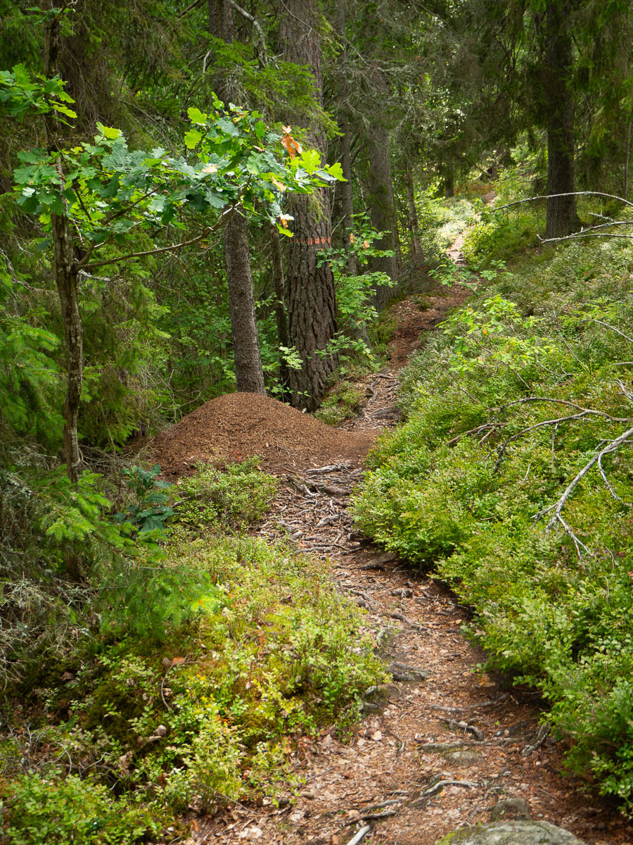
The first anthill of the day is nothing special. But when the day is over and I realize just how many they were, and how many stretches of the trail were so covered with ants that I couldn’t stop, I see those anthills with different eyes. They were truly many, and large, and frankly a bit annoying.
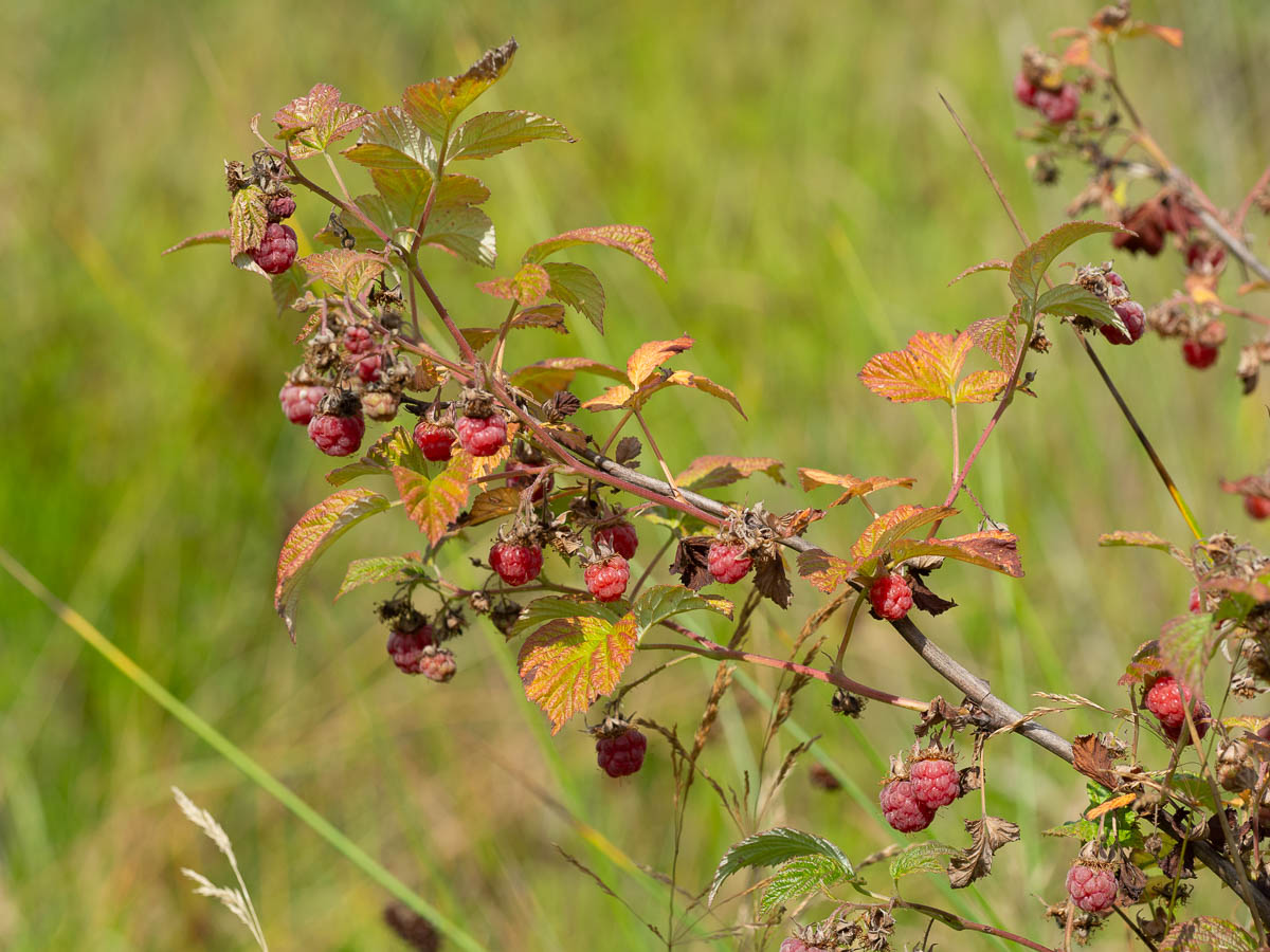
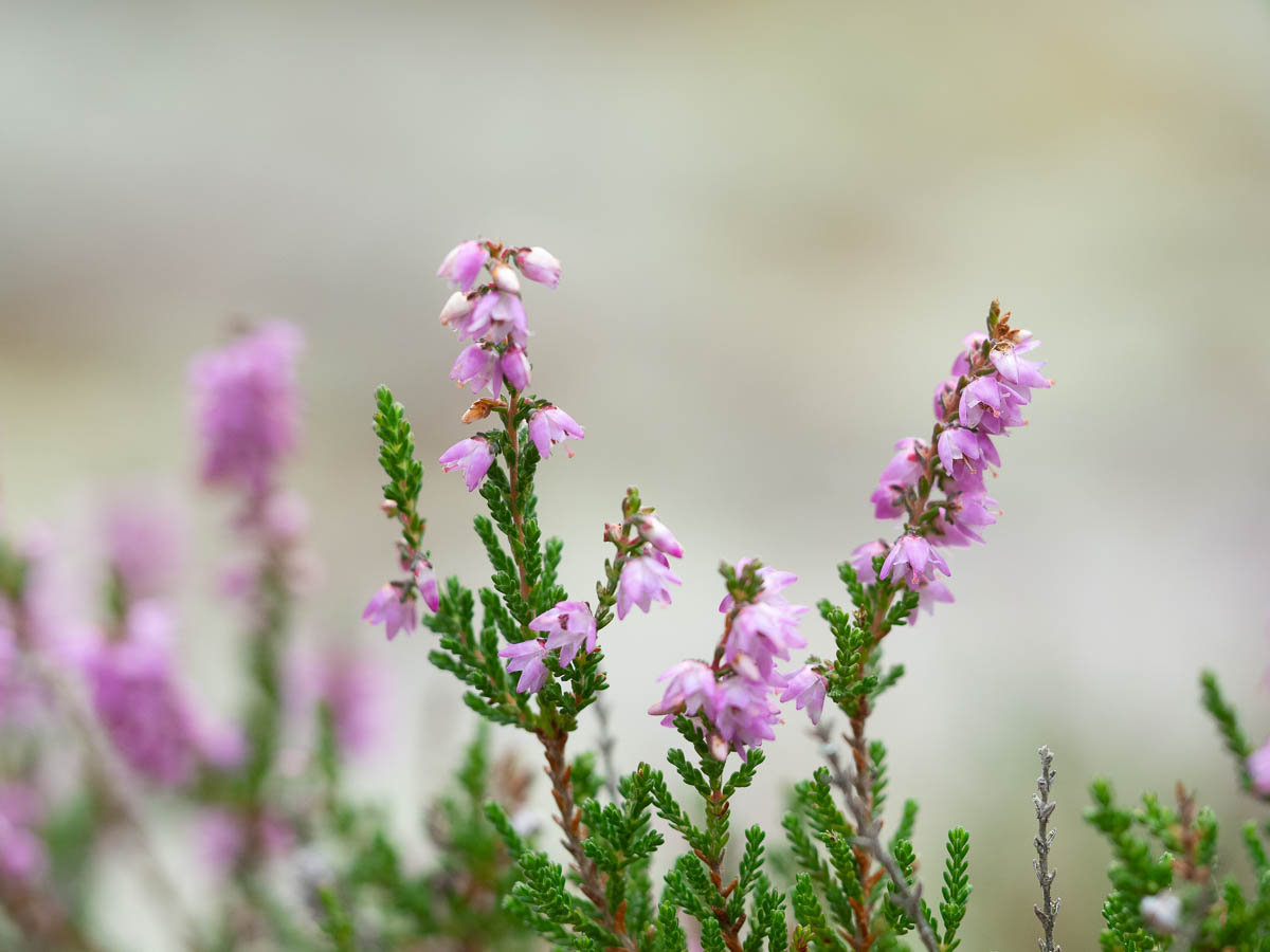
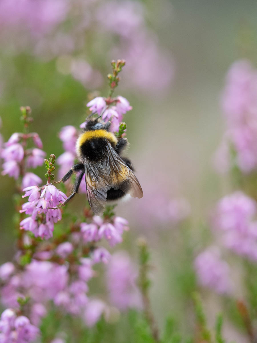
Stands of raspberries were also everywhere, and rather more pleasant than the anthills. Truly this section of the trail seems to get very few visitors, because the raspberry bushes were chock full of ripe raspberries, with nobody eating or picking them. I ate my fill, and then some – because how can I just pass such bounty without partaking? – and I barely made a dent. The first two kilometres or so (starting from the stage-19 end of the stage) were especially good raspberry picking grounds. If I ever want to drive an hour and a half and then walk another half-hour in order to get all-you-can-eat wild raspberries, then this is the place to be.
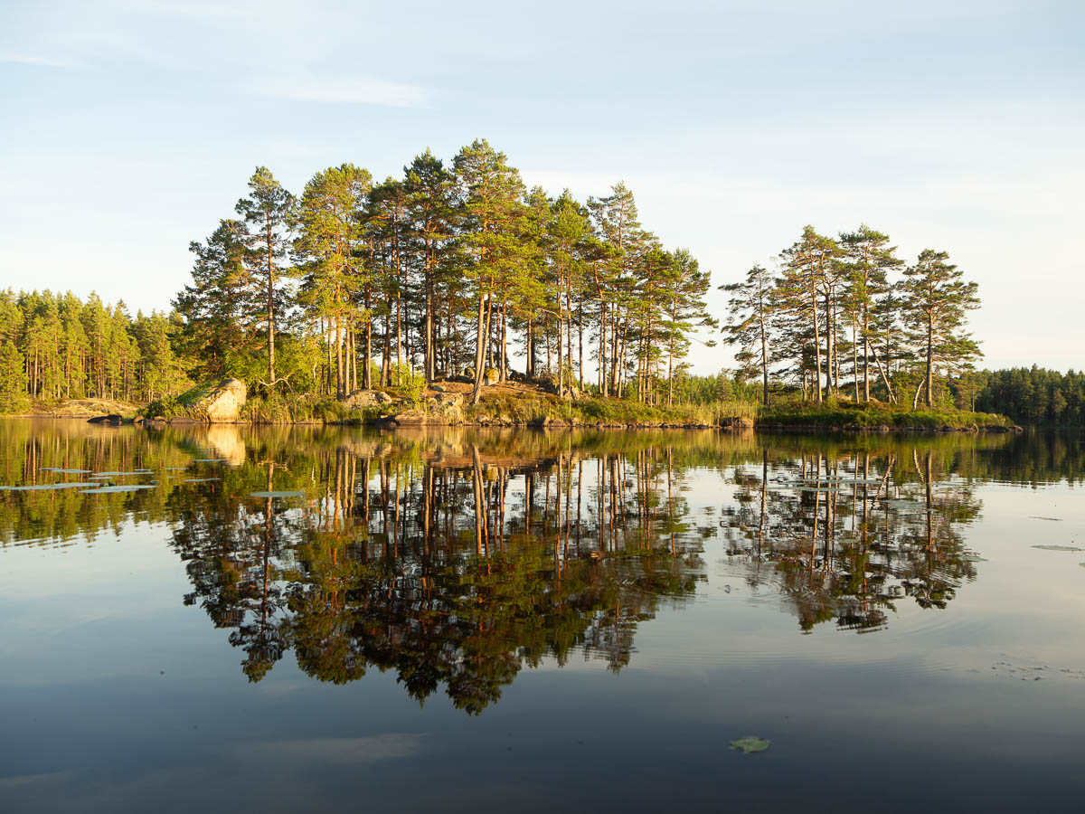
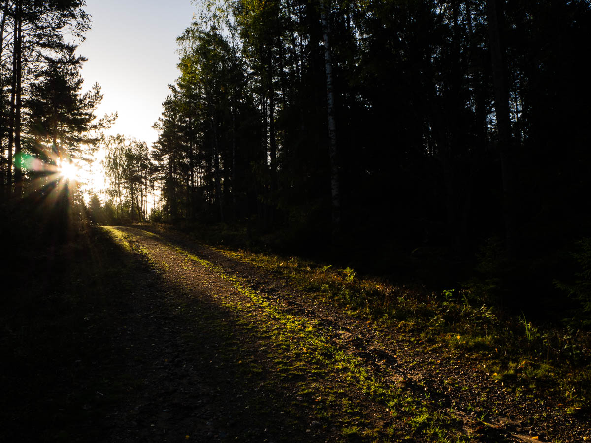
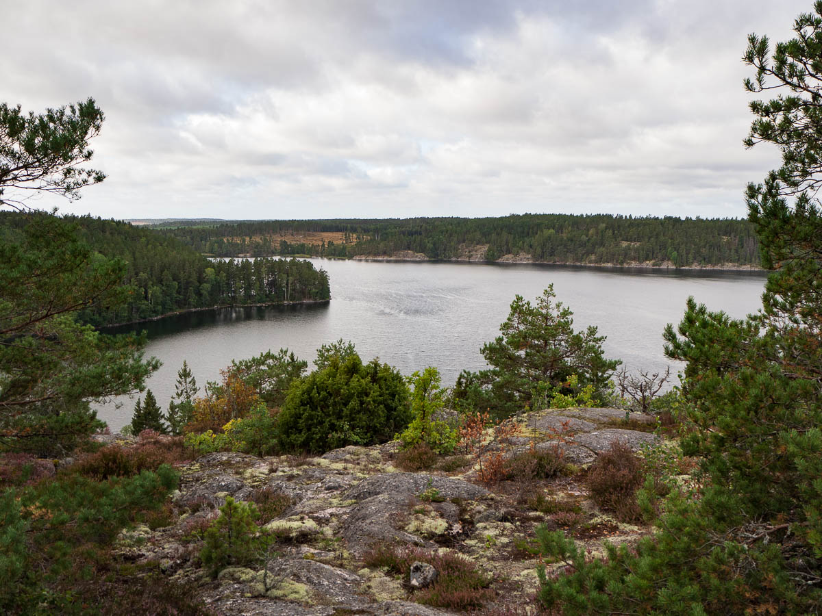
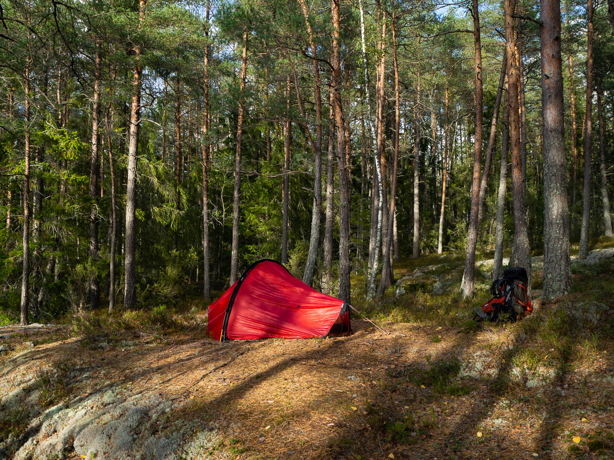
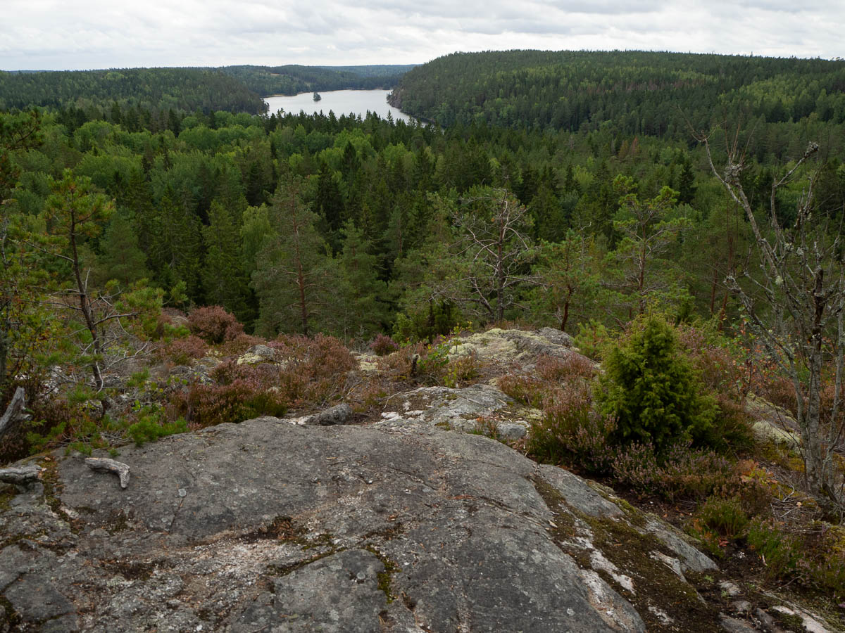
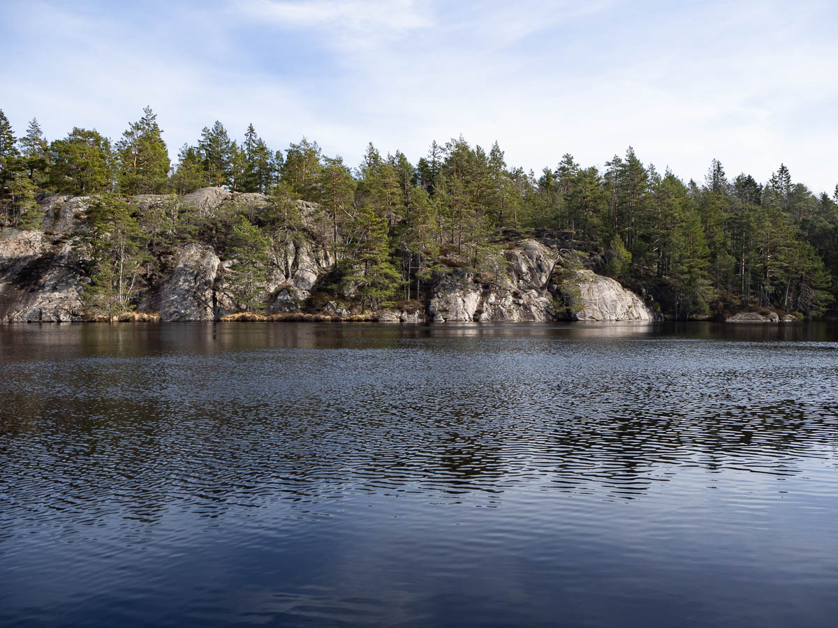
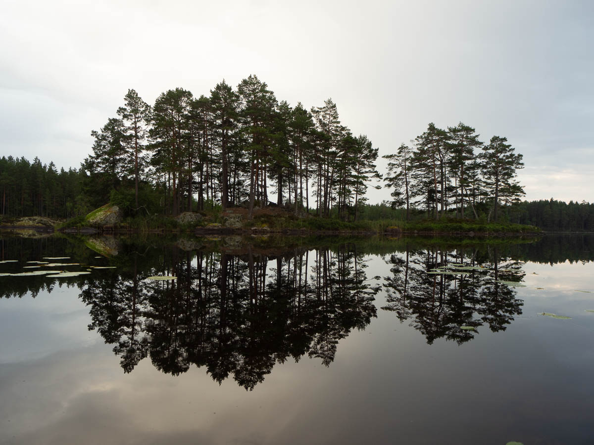
Some views just look better coming from the other direction. I know that as a photographer I should stop and turn around when I pass some interesting landscape feature, but I usually forget. But today I get another chance.
For the last hour of my hike, I could hear thunder rumbling in the distance, and then not very distant at all. Ten minutes before I reached the car, the heavens opened. I was all ready for it, with my backpack rain cover in place and my rain jacket literally in my hand, so it didn’t actually bother me much. Apart from my trouser legs – which I had long since given up on – I was still mostly dry when I got there.
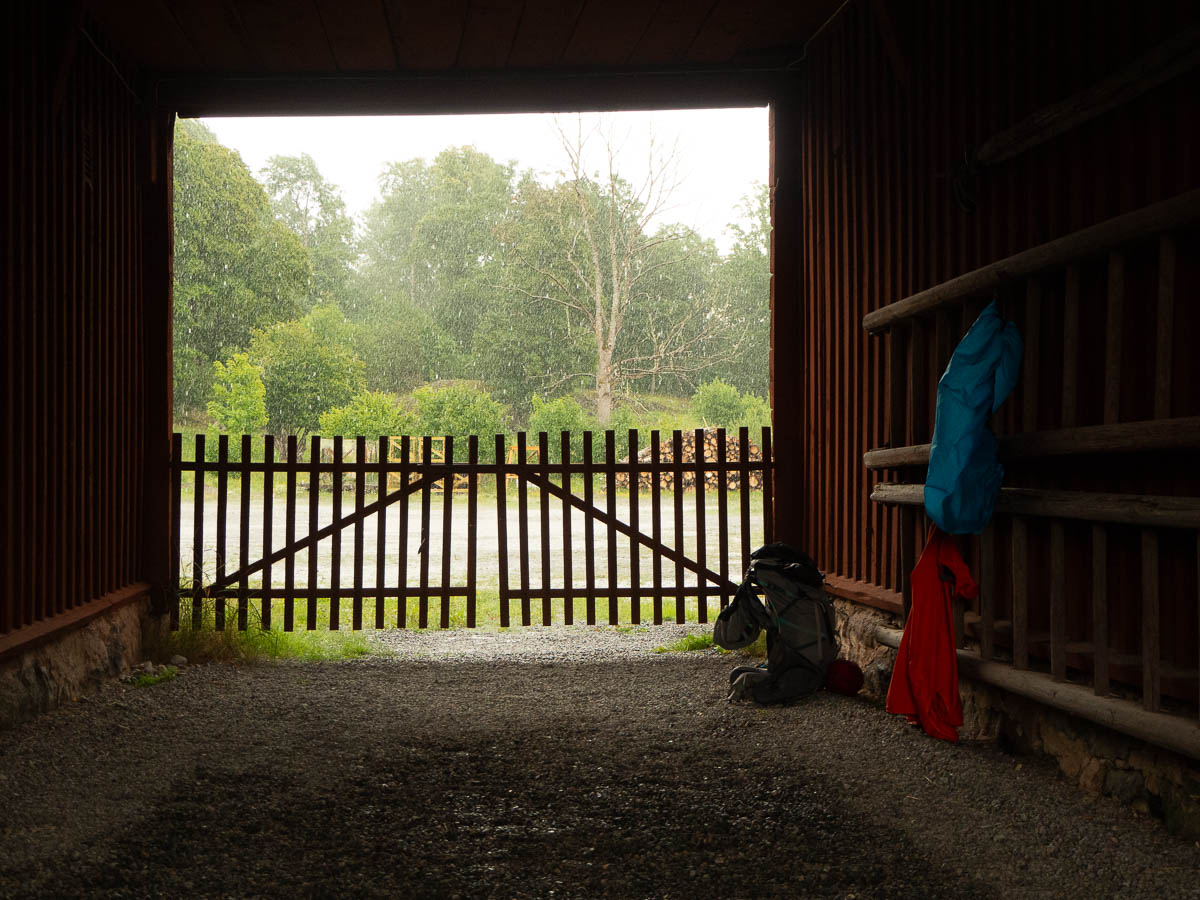
At that point it was absolutely pouring down, and the thunder was right over my head. Instead of trying to pack myself into the car in the downpour, I took shelter in an archway of the farm building behind which I had parked. It got wetter and wetter as time went by, until I had to make a little channel in the gravel to guide the water out at the other end of the archway, instead of letting it spread out sideways towards the walls.
It reminded me of playing in the mud when I was a child. Back then the street where I lived was surfaced with gravel, not asphalt, so it got a bit muddy when it rained. It also sloped slightly, so we got these lovely streams of water along the sides of the street. With a sturdy stick, we could drag new channels to make the streams join up or go the way we wanted. We had no fancy boats, but I remember sending small twigs rafting downstream.
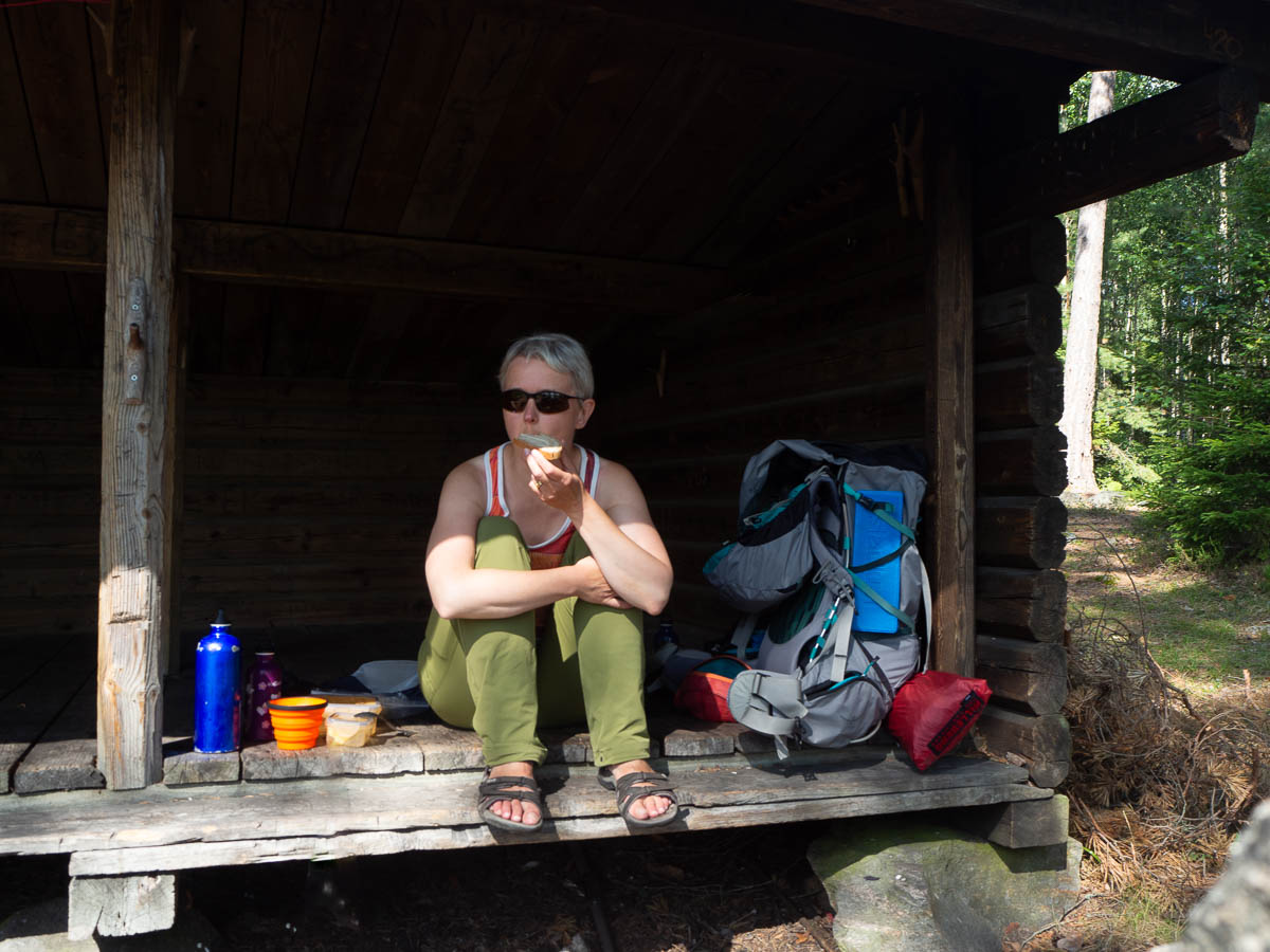
Anyway, the sides of the archway remained dry, so I could sit down and have a leisurely lunch while I waited for the thunderstorm to abate. The good thing about summer rains is that there are usually breaks in them. I could get into the car all dry and nice. There was much more rain later while I was driving home, to the point where the rain hit the windscreen in splats rather than drops and I could barely see the car ahead of me, but I got home safely.