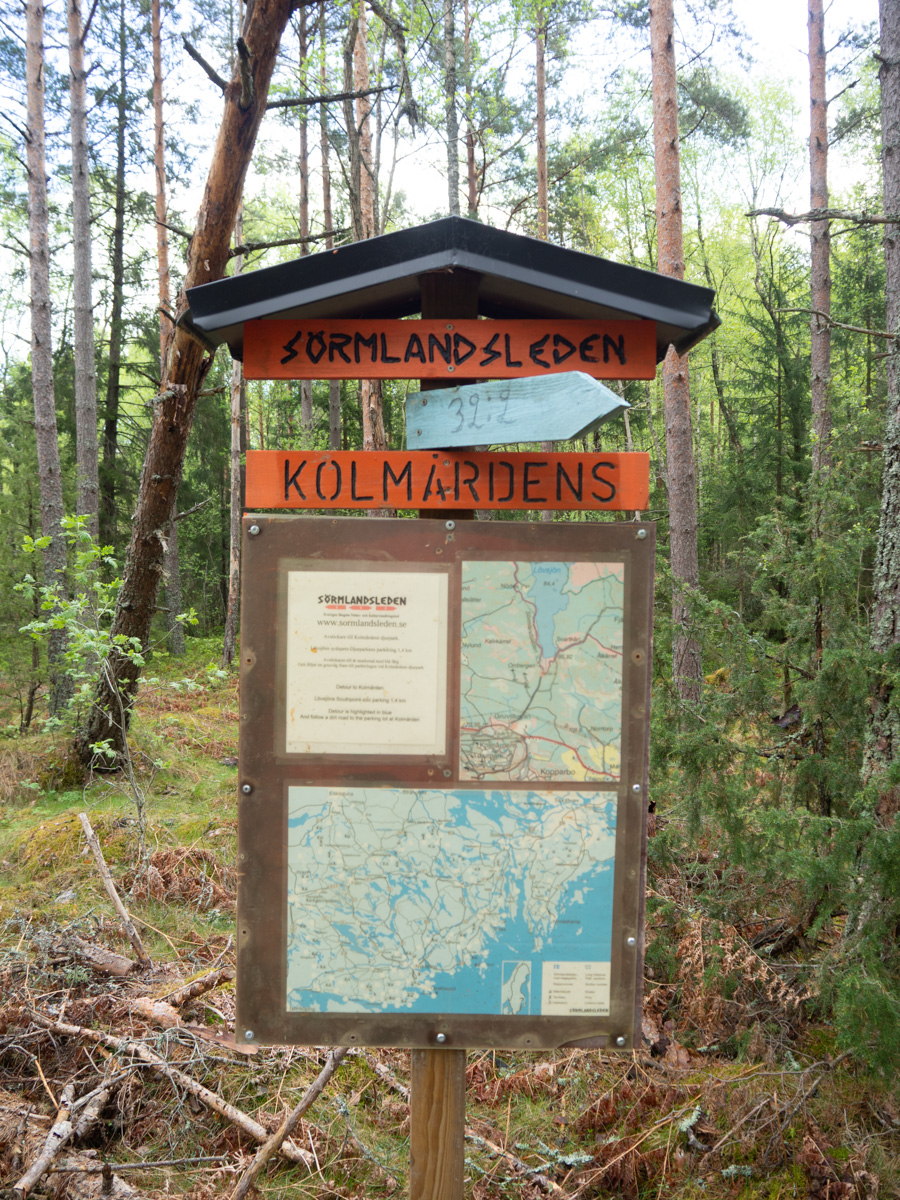
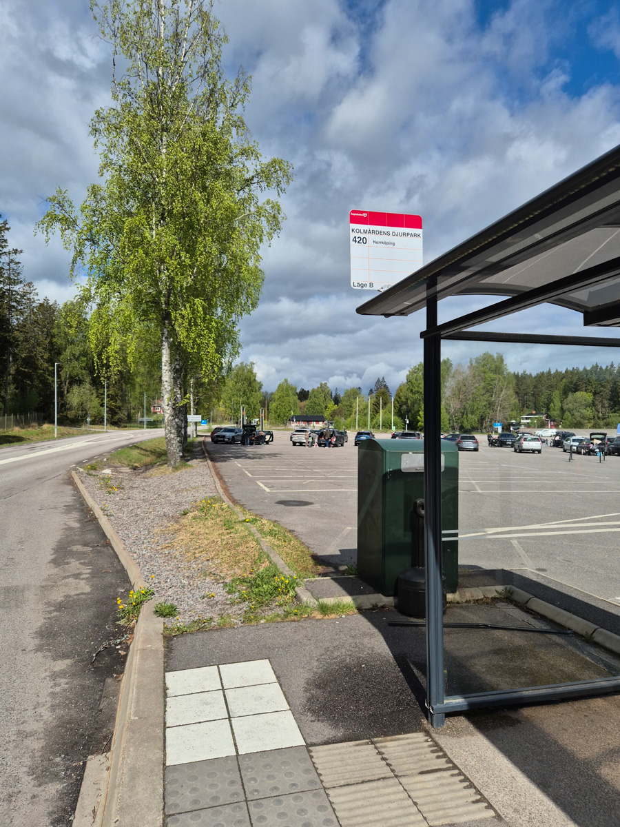
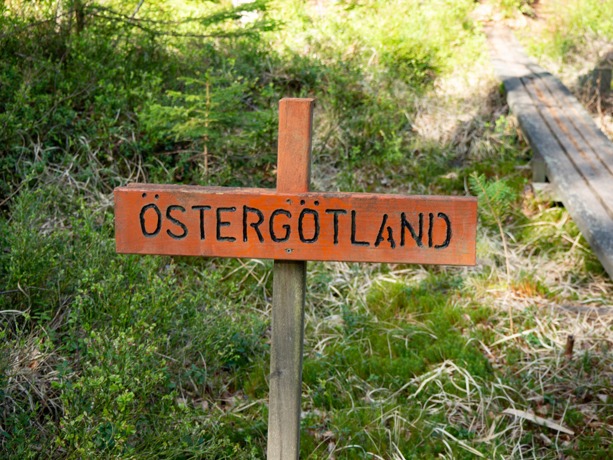
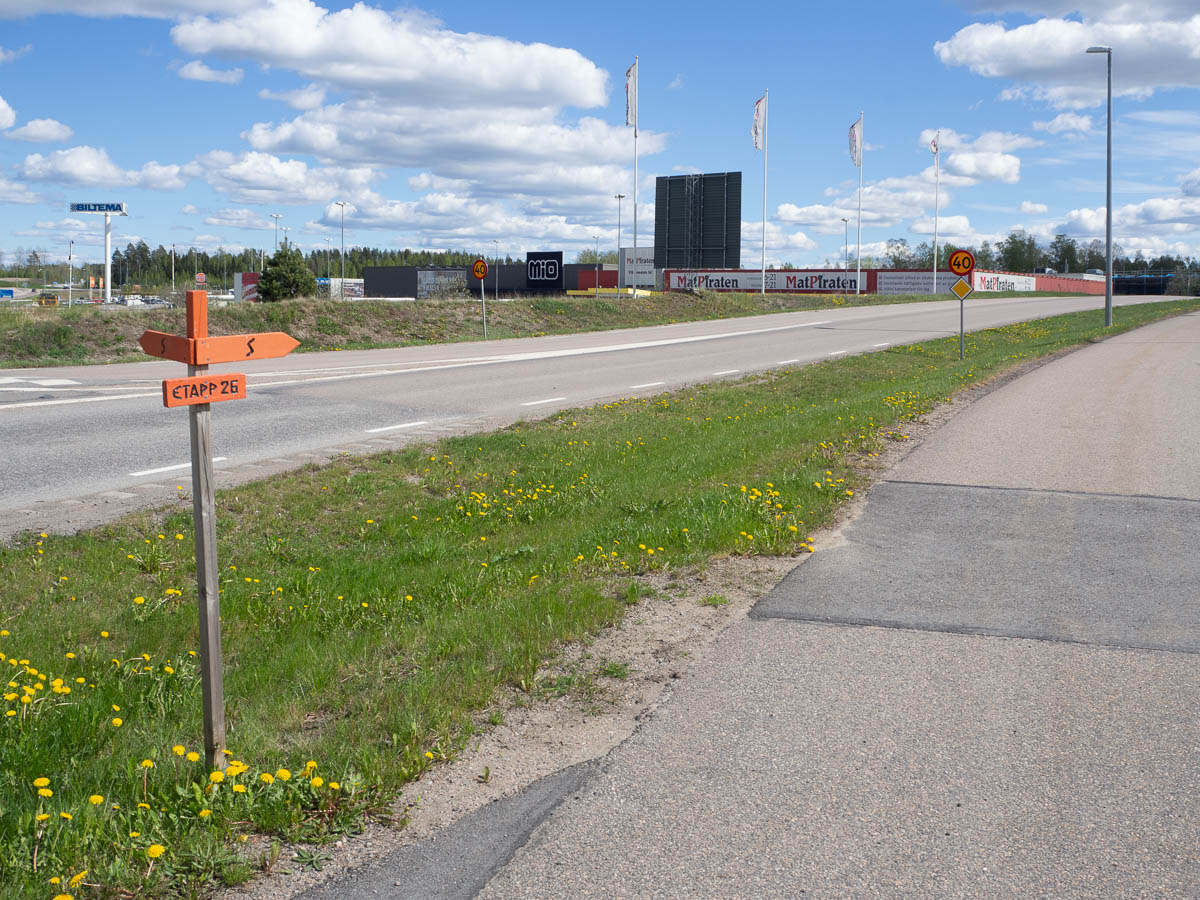
Sörmlandsleden from Kolmården to Katrineholm. This will cover stages 32:1, 32 to 28, half of 27, and 27:1. The planning is entirely dictated by public transport. Train + bus to Kolmården today, and I’ll be taking a train back to Stockholm from Katrineholm, so that’s where I’ll have to be by Friday mid-day-ish.
Today I walked the connecting trail 32:1 from Kolmården to the main trail, and then all of stage 32 and part of 31. 17 km altogether.
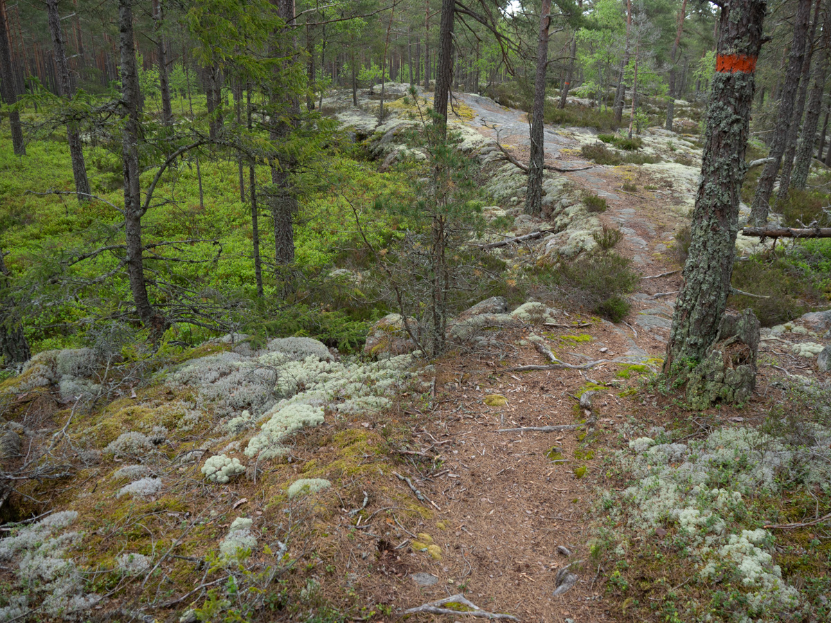
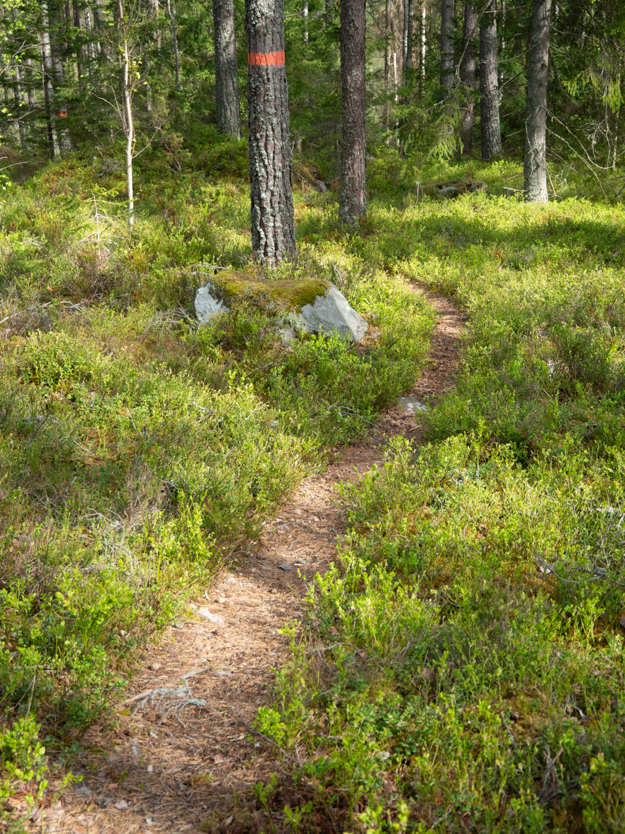
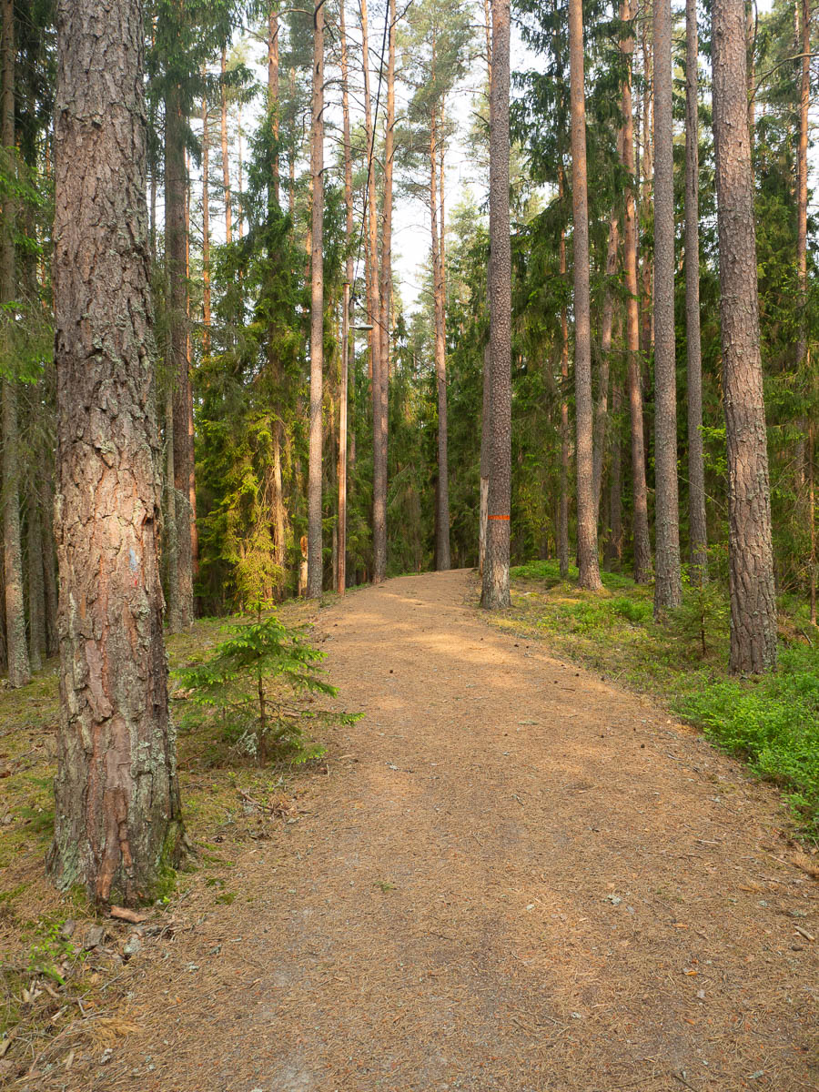
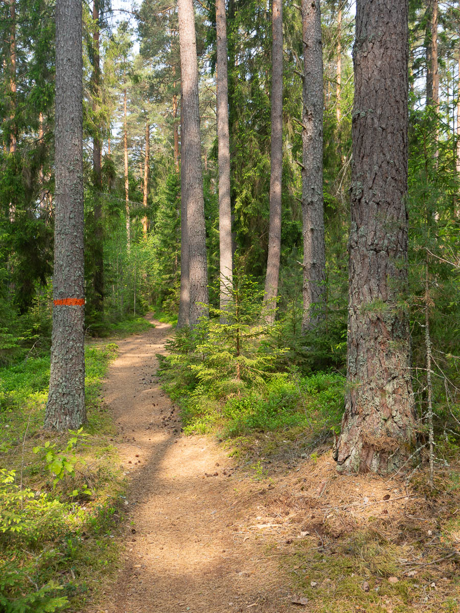
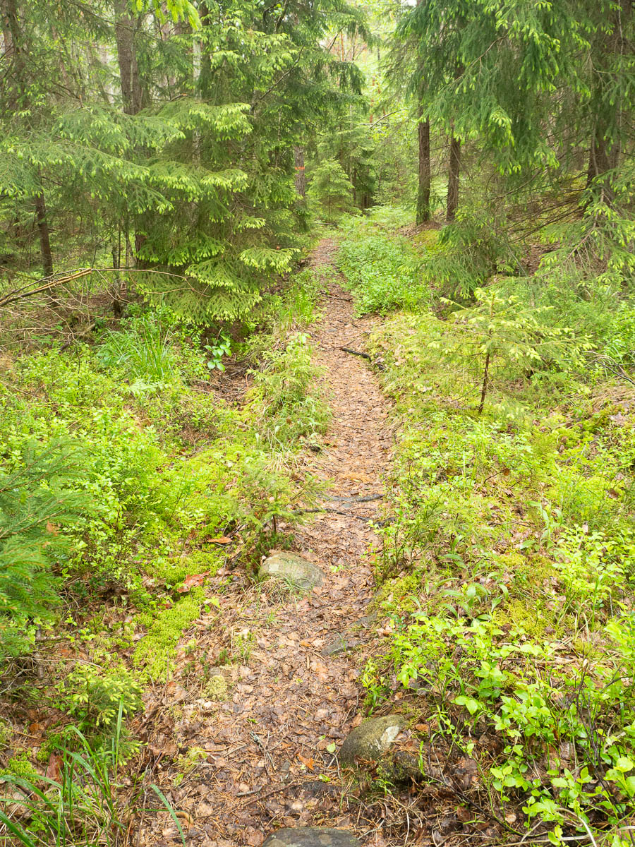
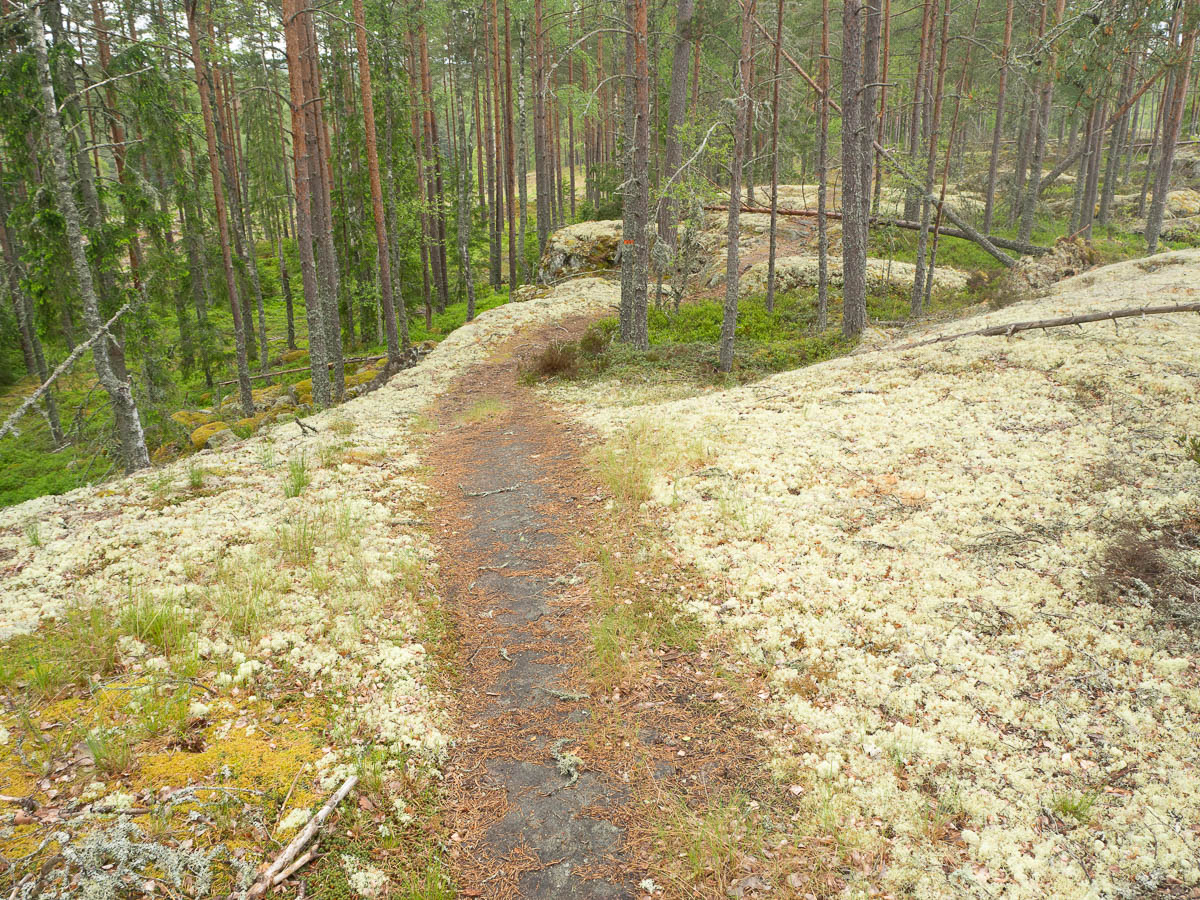
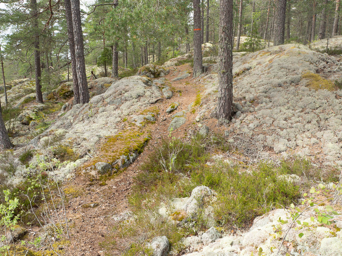
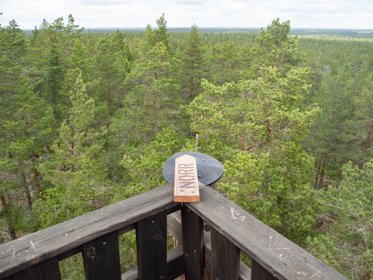
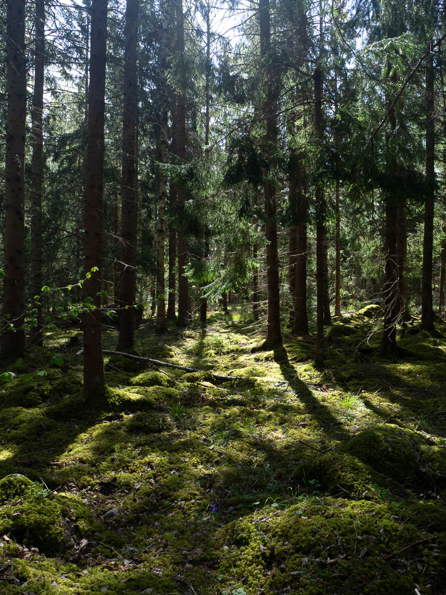
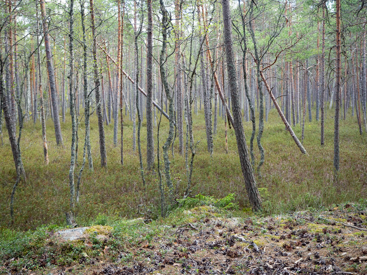
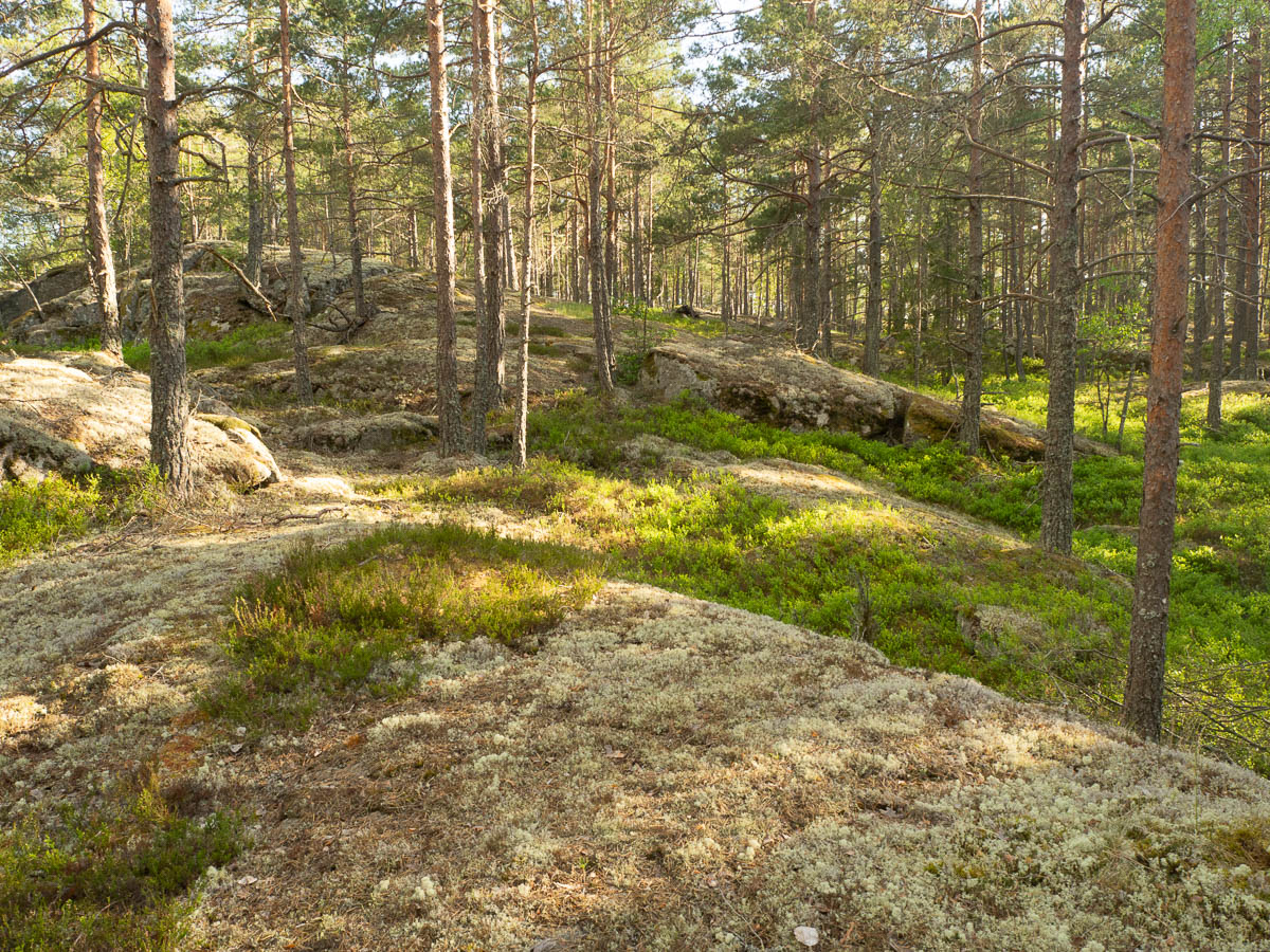
Stage 32 was among the most beautiful ones I’ve walked thus far. Not due to any spectacular feature or stunning views, but just the overall everything.
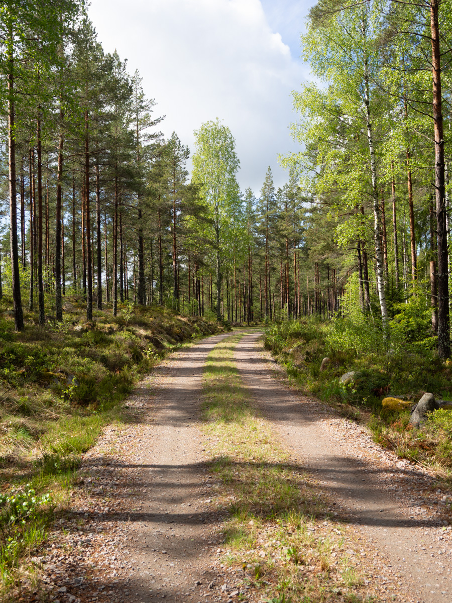
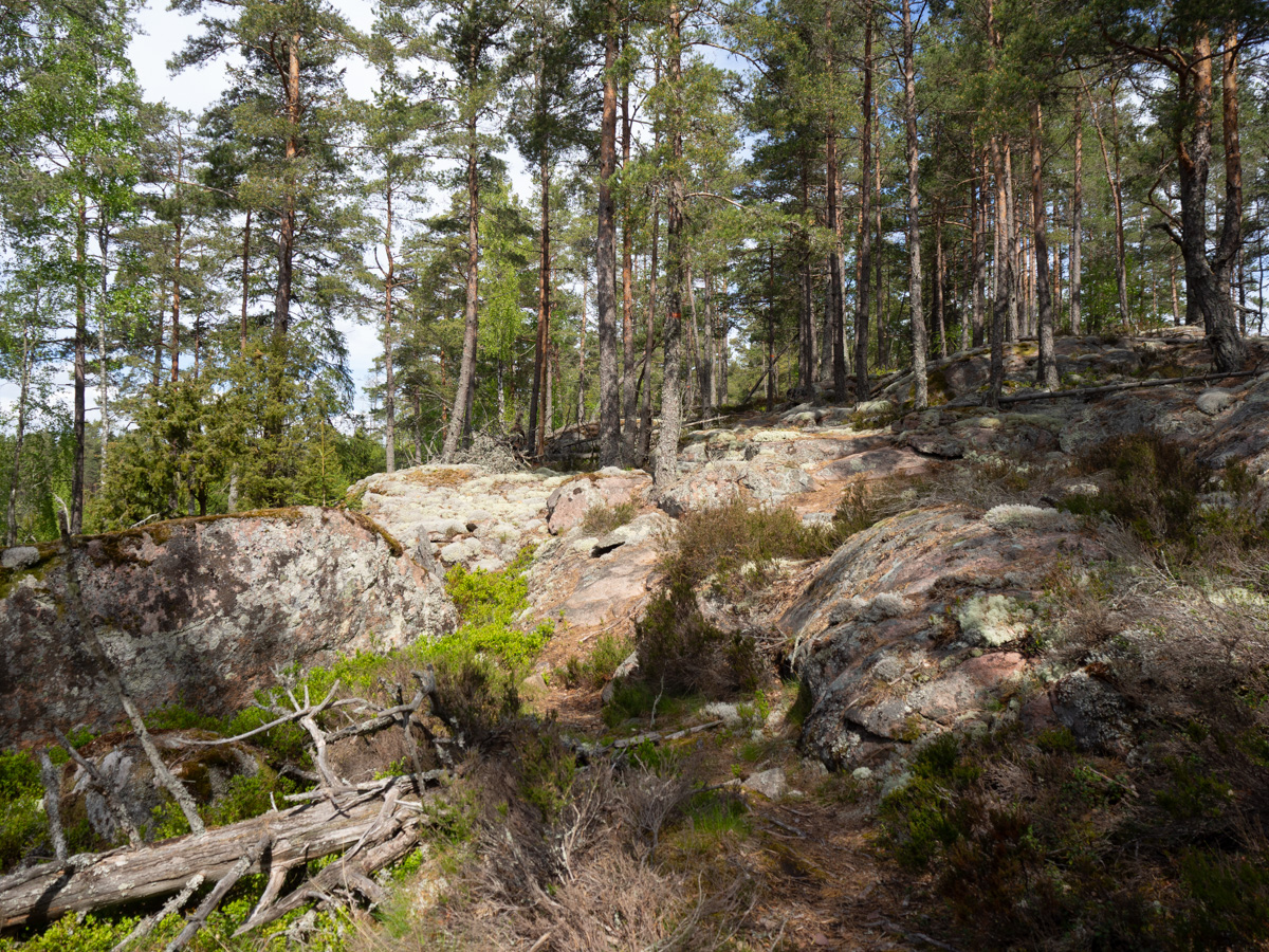
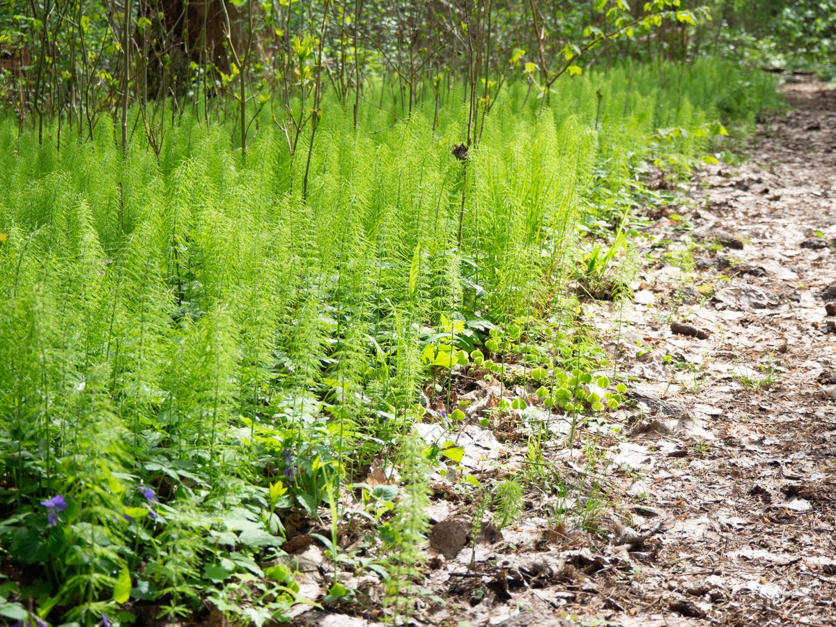
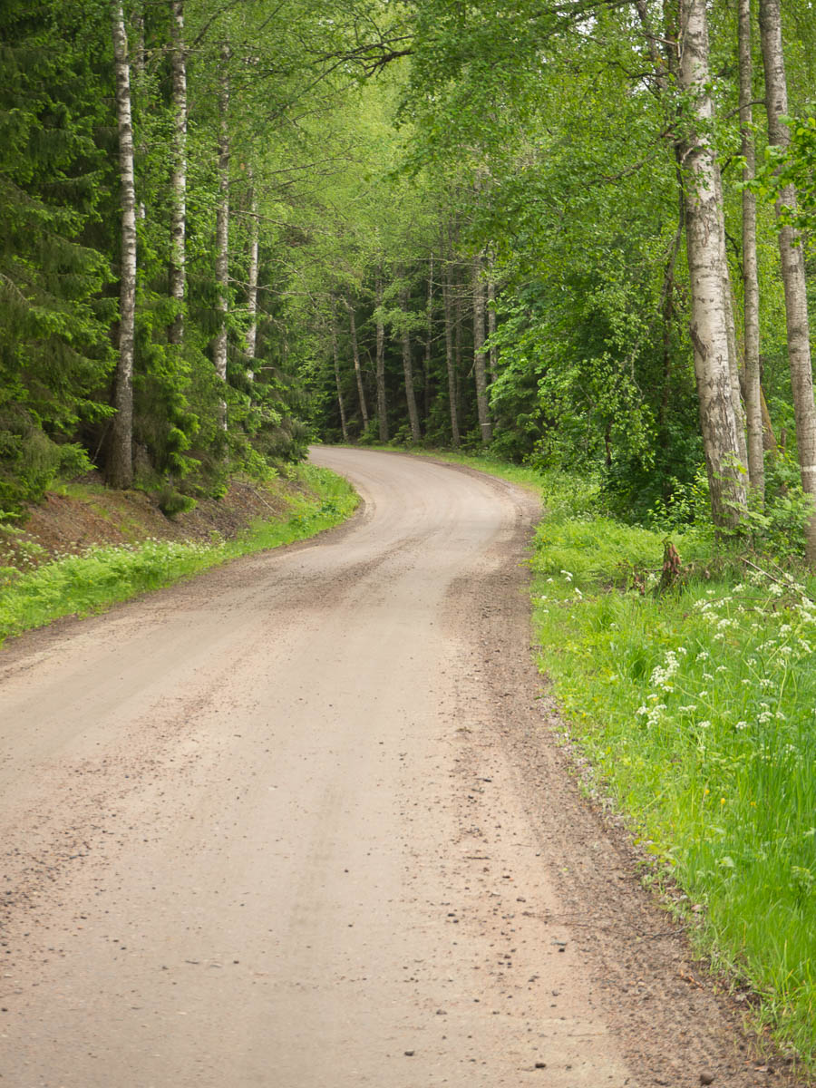
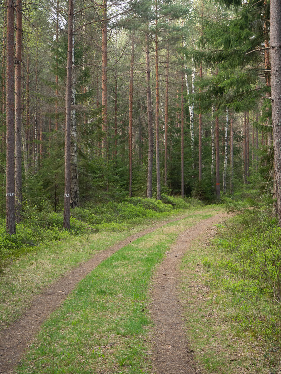
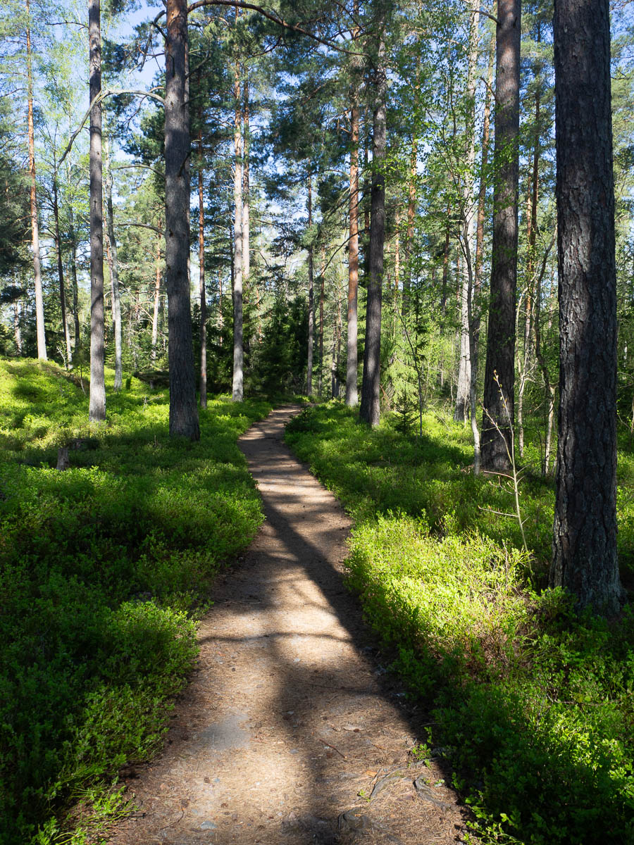
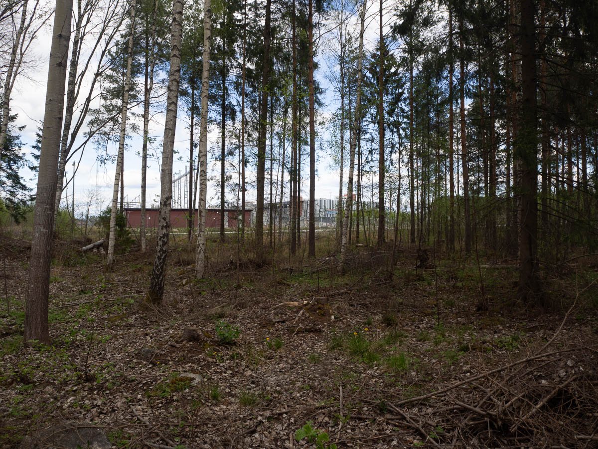
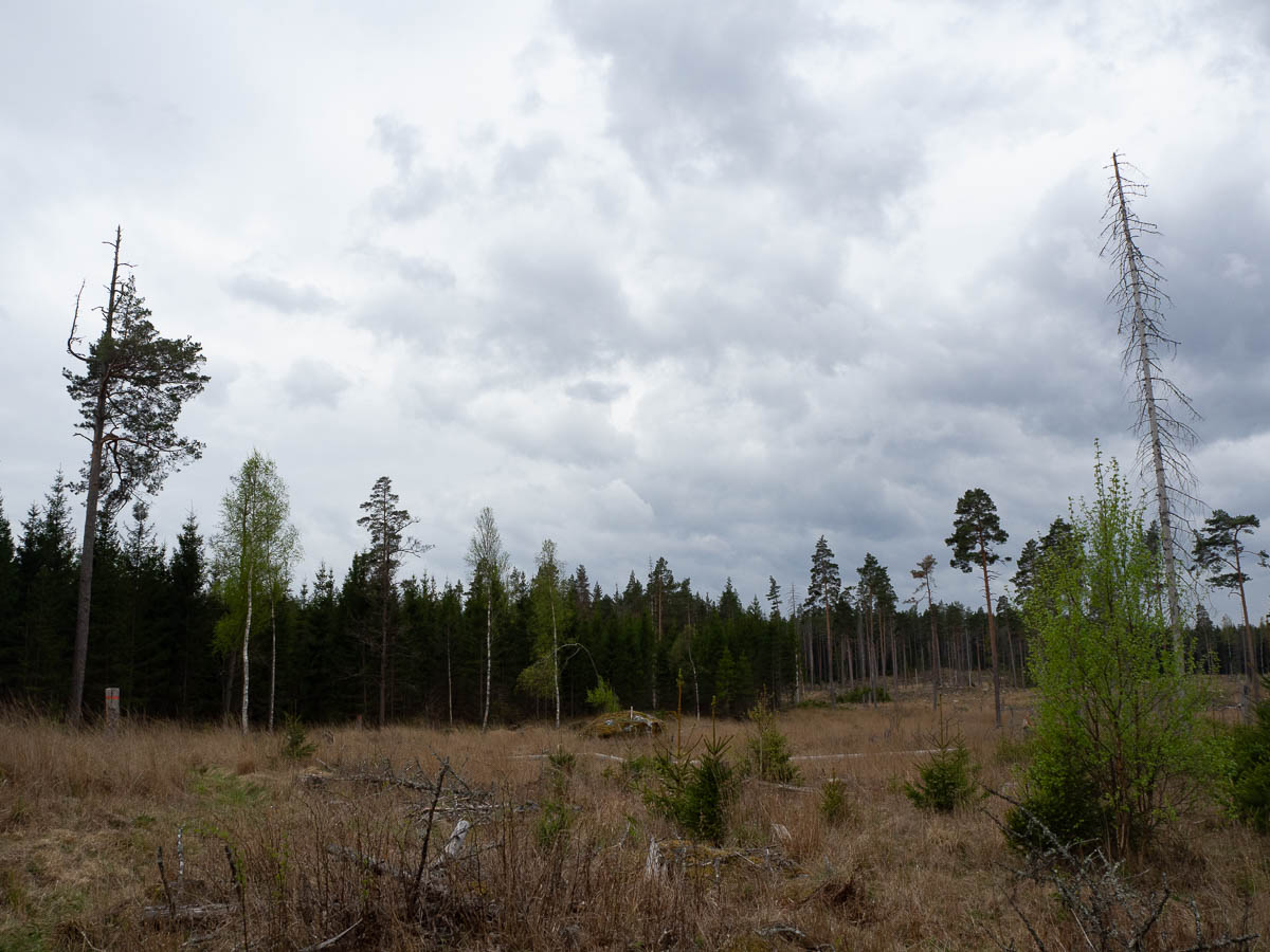
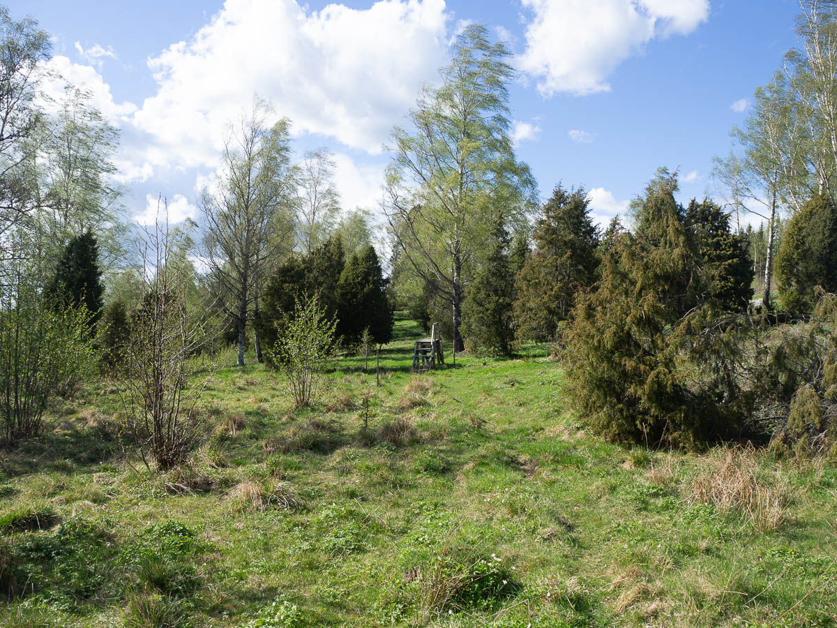
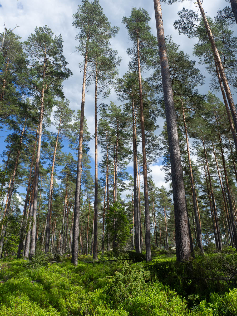
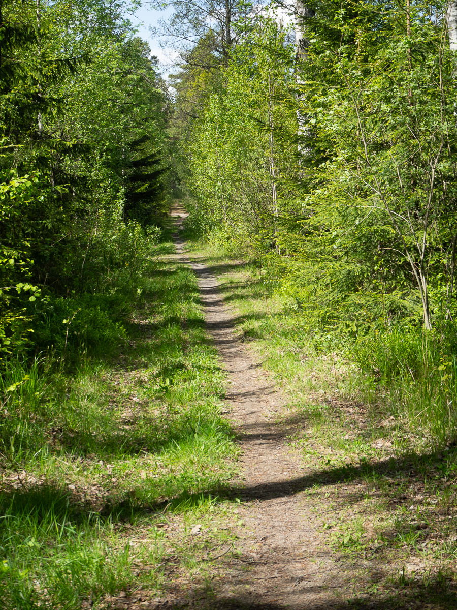
There was a lot of airy, open pine forest. The absence of scruffy undergrowth just makes it look extra beautiful.
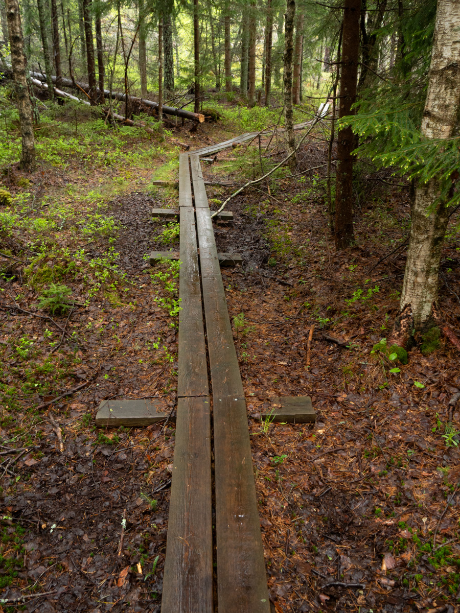
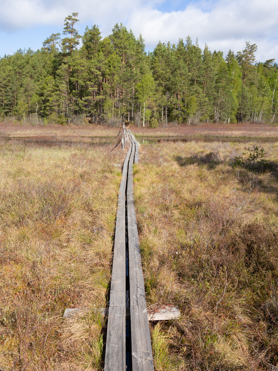
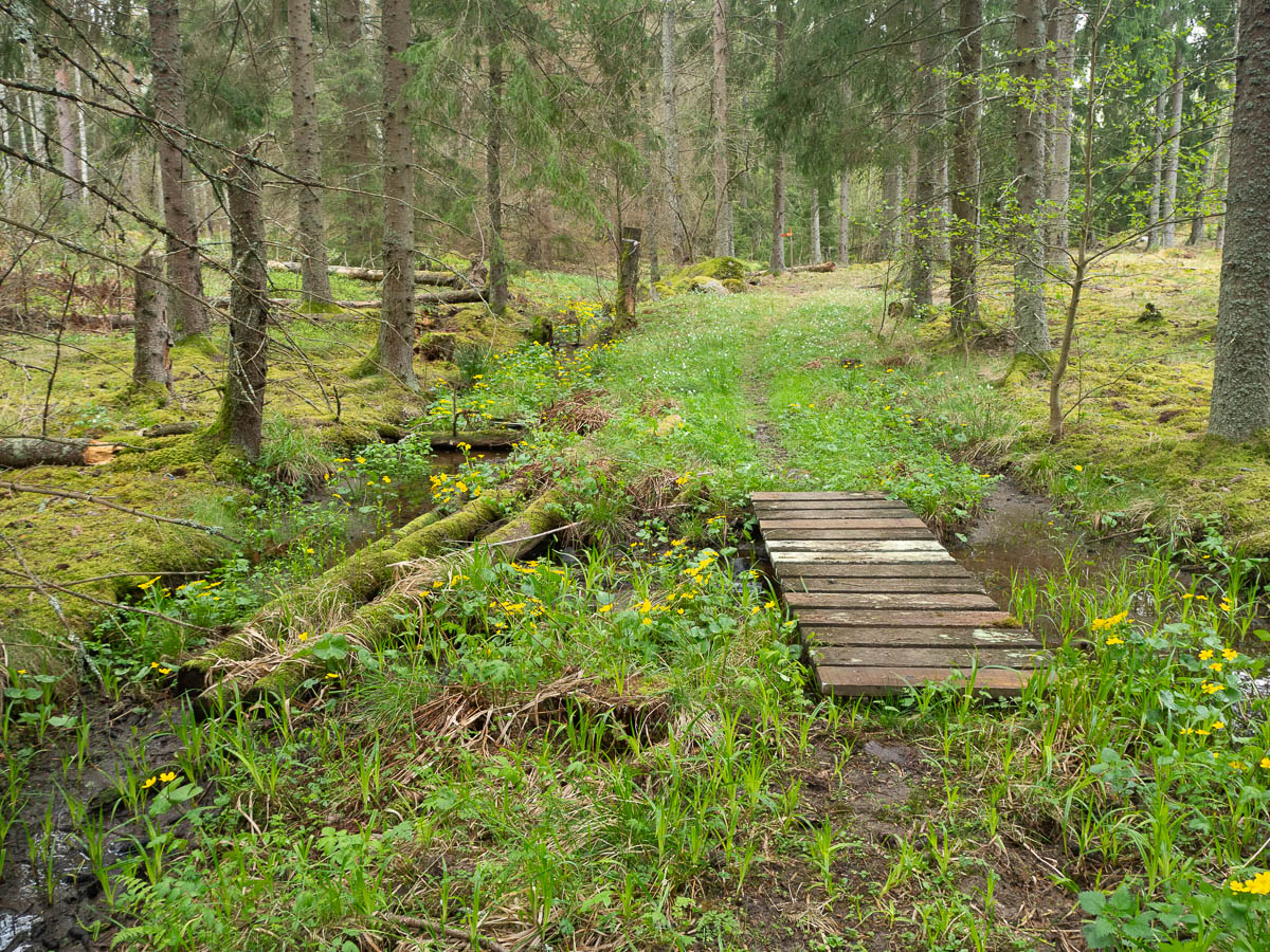
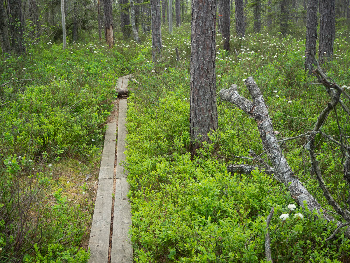
There were stretches of plank walks across bogs. The bog was all dotted with the white flowers of Marsh Labrador Tea (skvattram/sookail). It’s a common plant, but I don’t think I’ve ever timed any of my bog walks to coincide with its flowering. Photos don’t do them justice (especially since the densest patches were a bit away from the path) – they were like swarms of tiny clouds hovering over the lower plants.
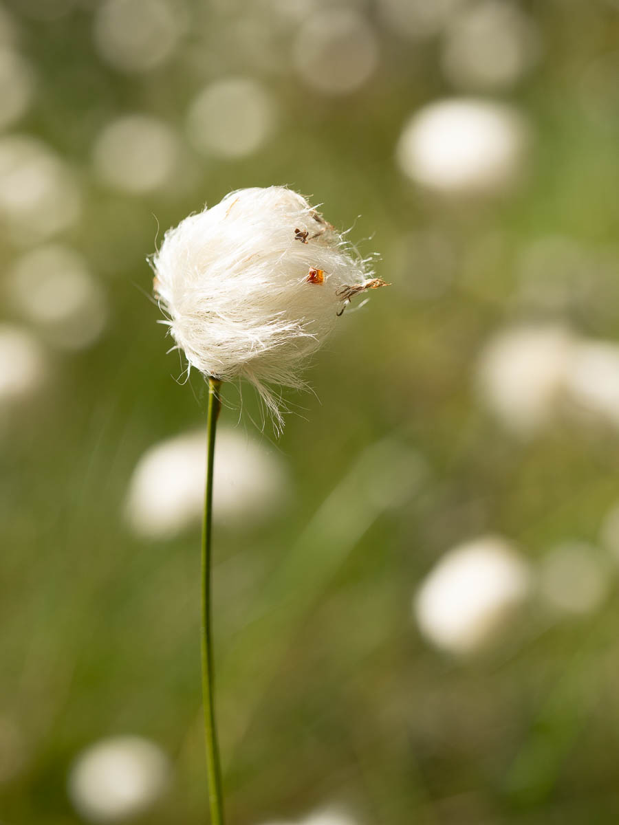
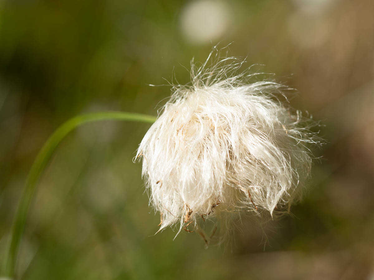
Cottongrass was doing the same.
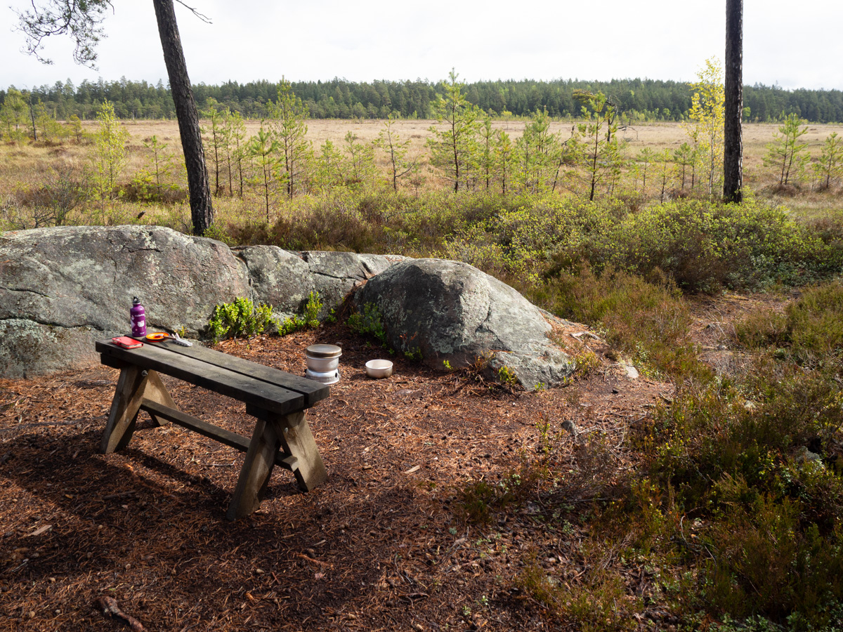
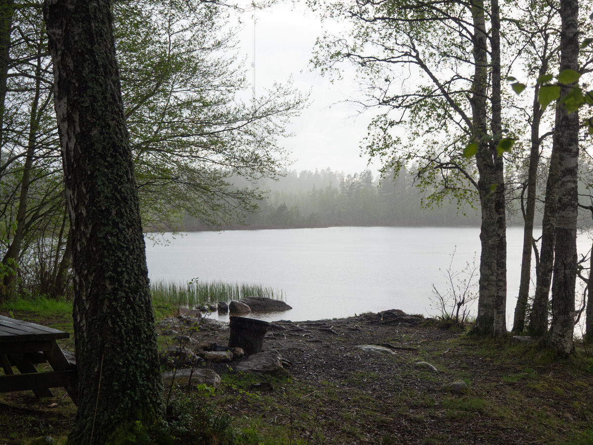
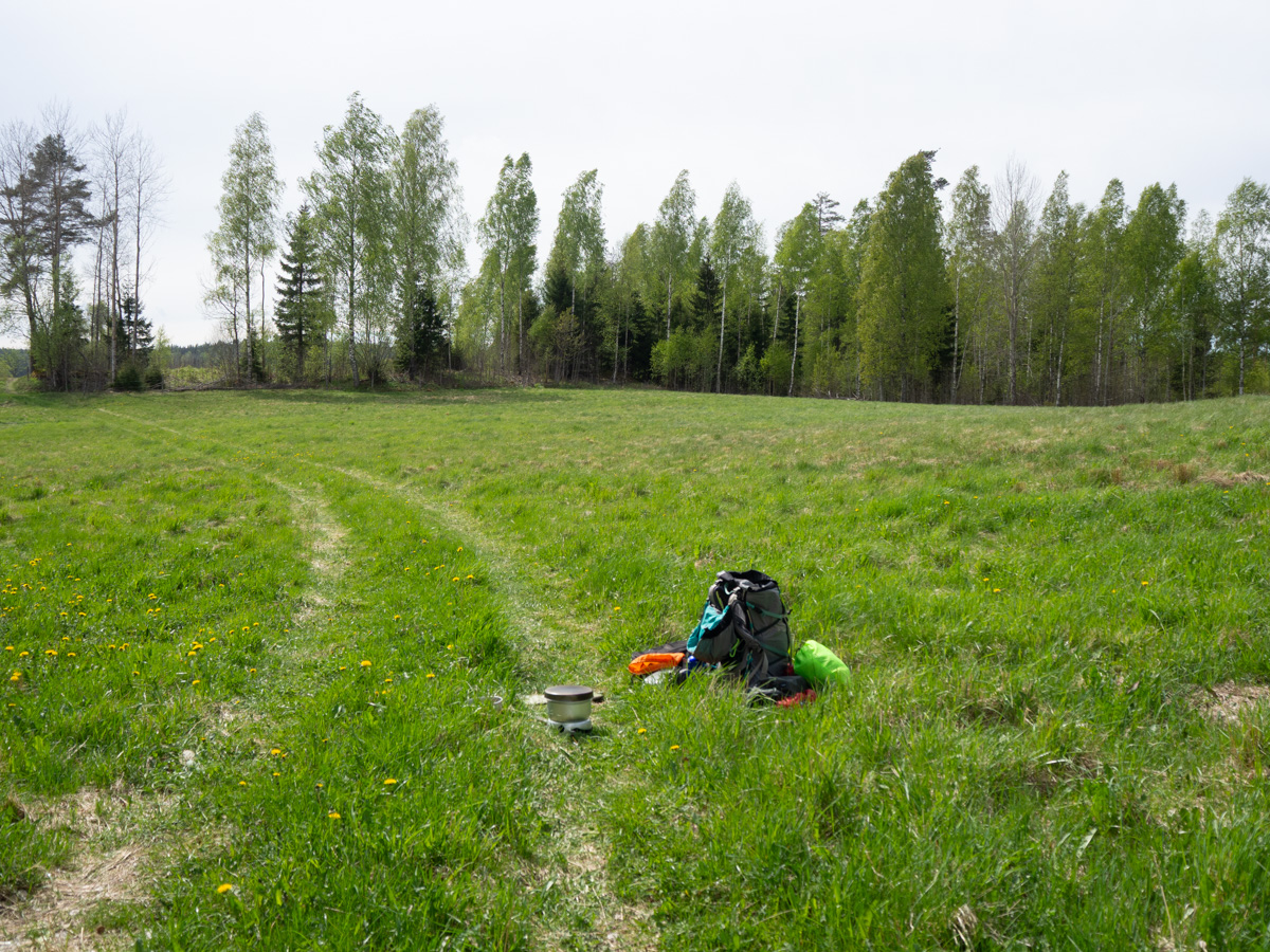
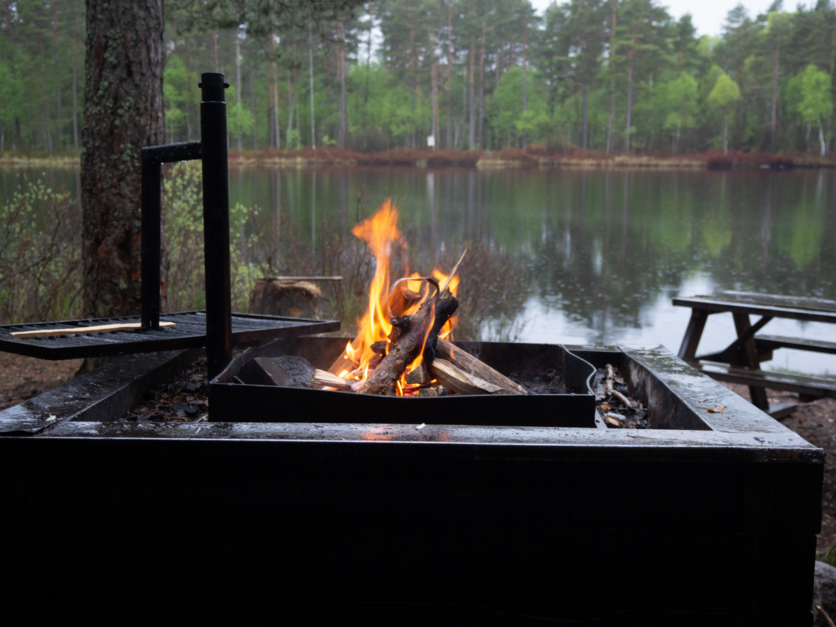
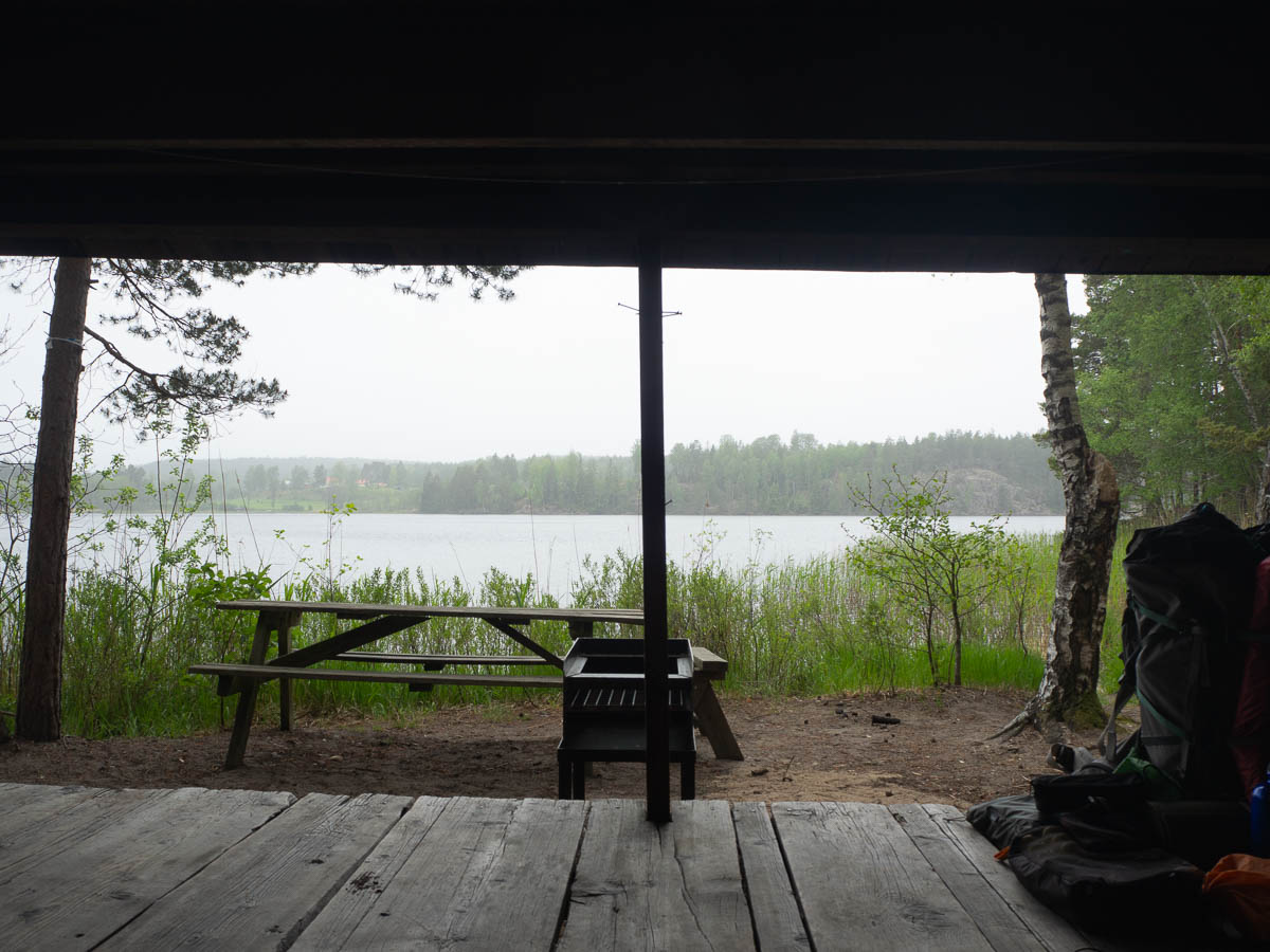
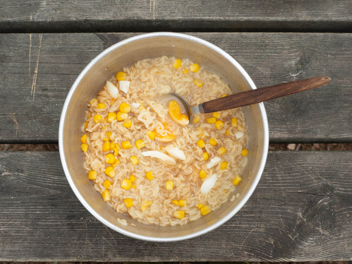
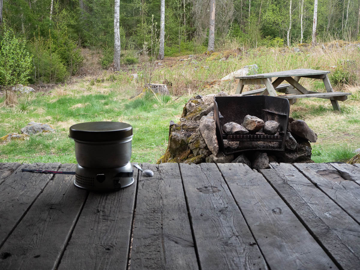
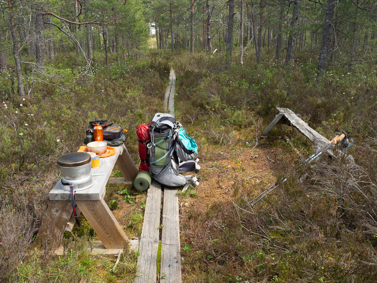
I took my lunch break later than I might otherwise have done (again, I’m kind of getting used to this) because there just weren’t any good places. The spot I finally found was very cosy, though, even if the bench only had room for my things, especially the stove, and not for myself. The ground around the bench was firm enough to stand on, but very waterlogged.
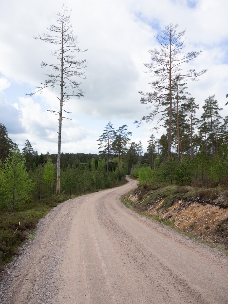
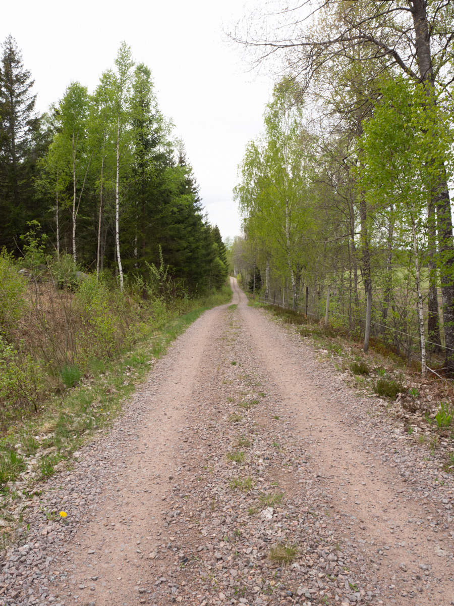
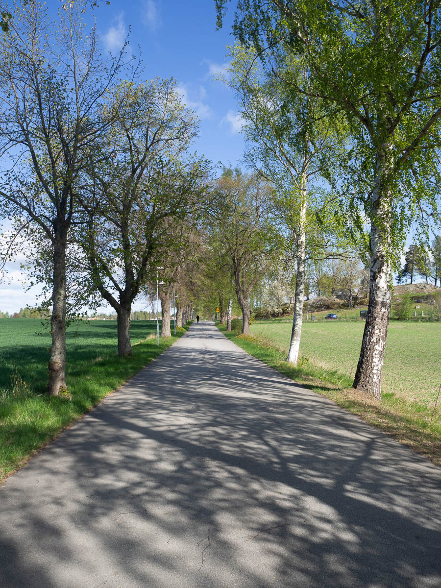
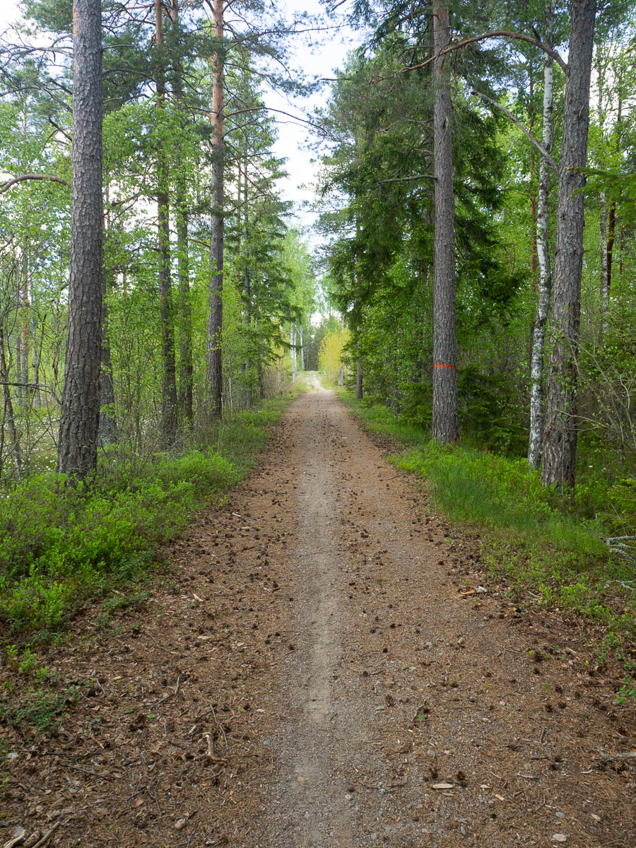
After the bog, the trail followed the tracks of an old railway, long gone. Straight and even and smooth, it made for easy walking.
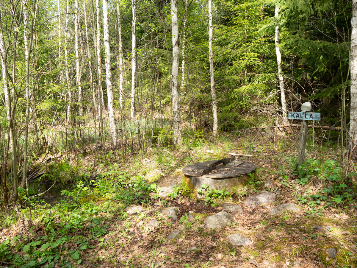
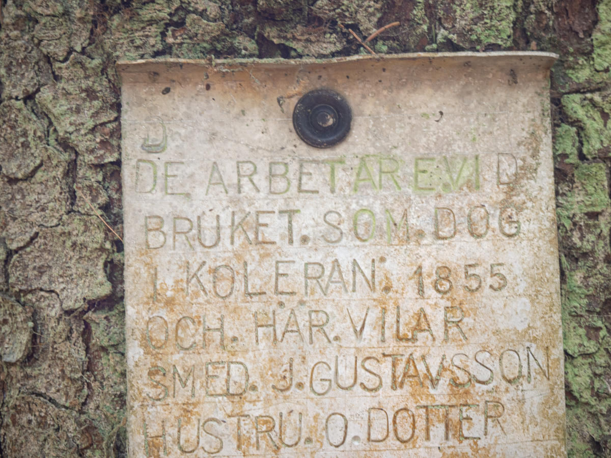
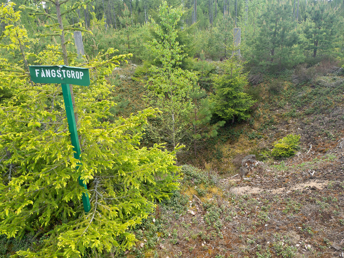
I passed a signposted hunting pit. It’s kind of weird that, nearly two hundred years after it was last used, it’s still here and recognisable for what it was. (With the help of a sign, at least.)
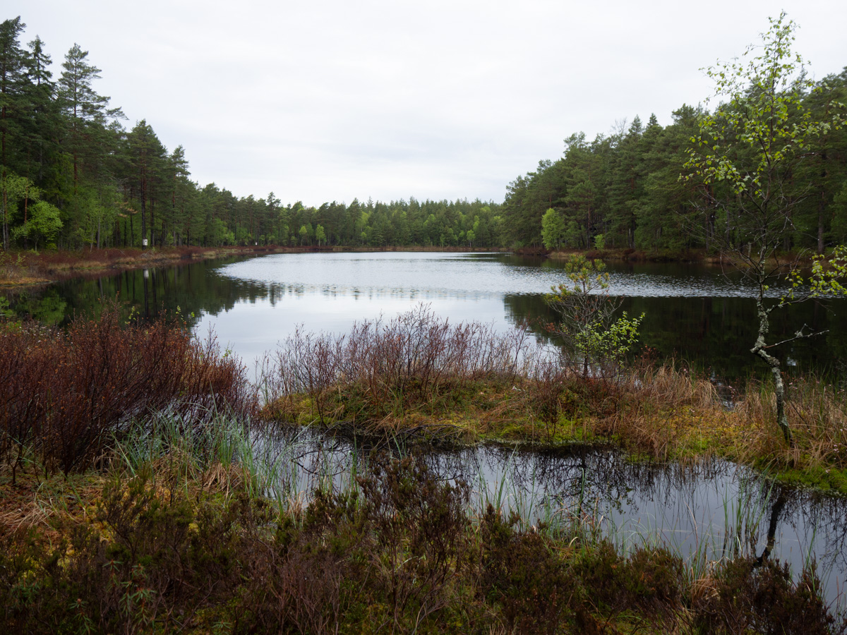
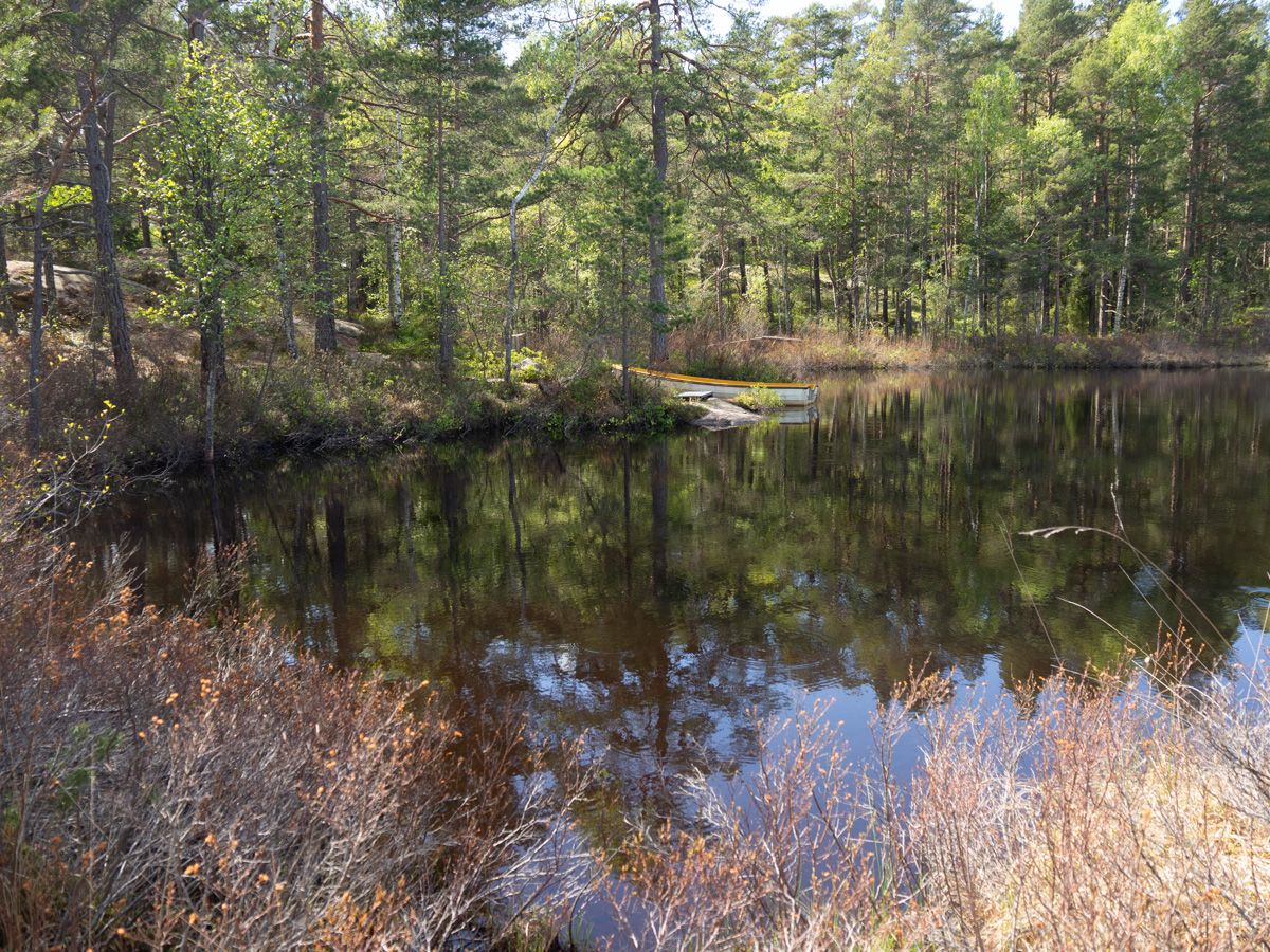
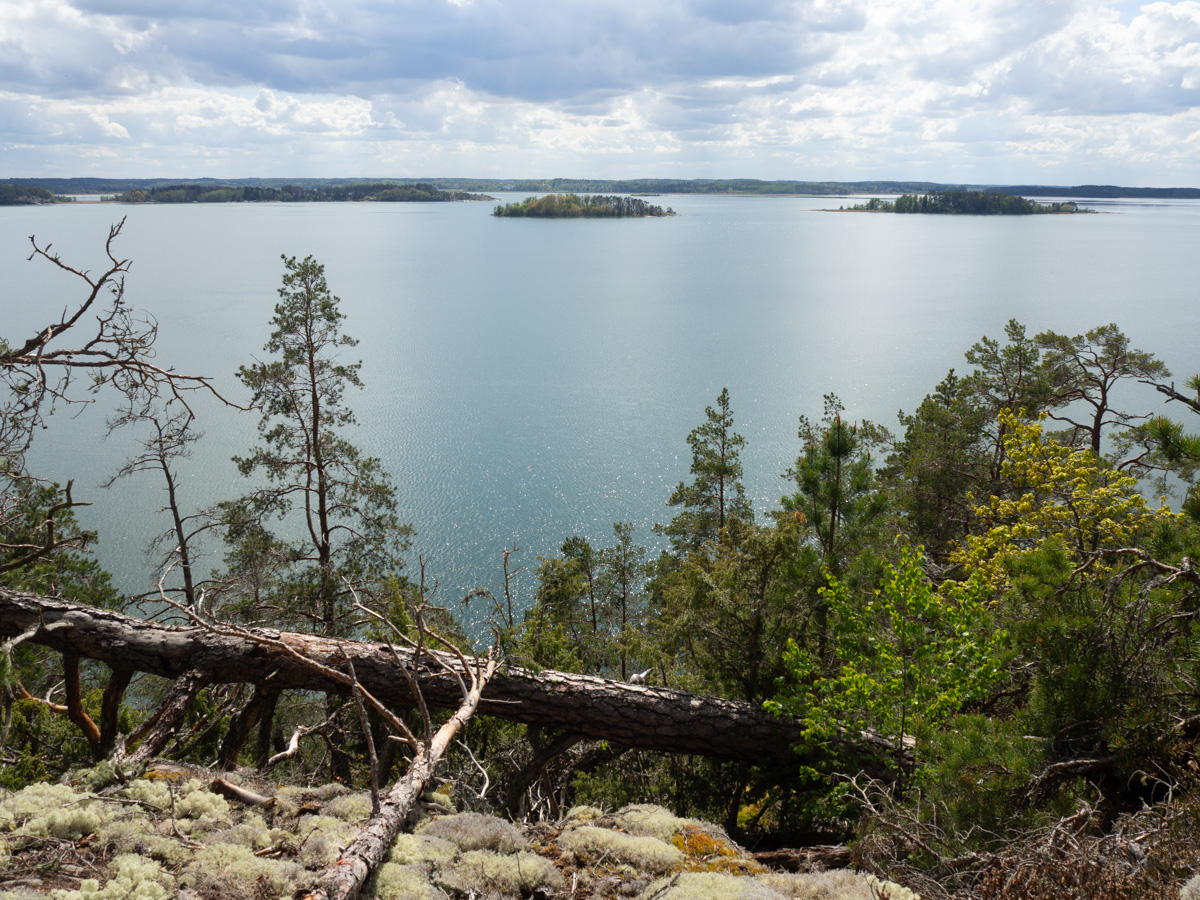
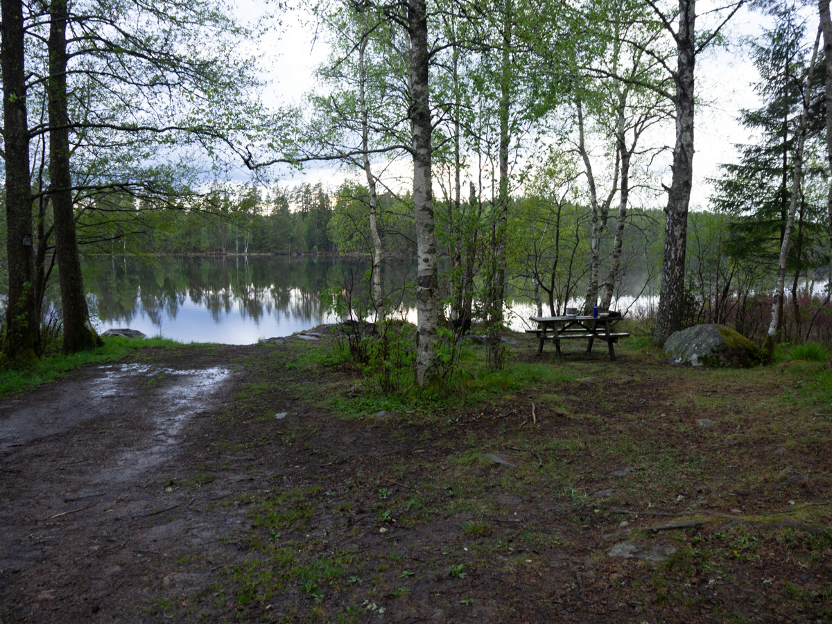
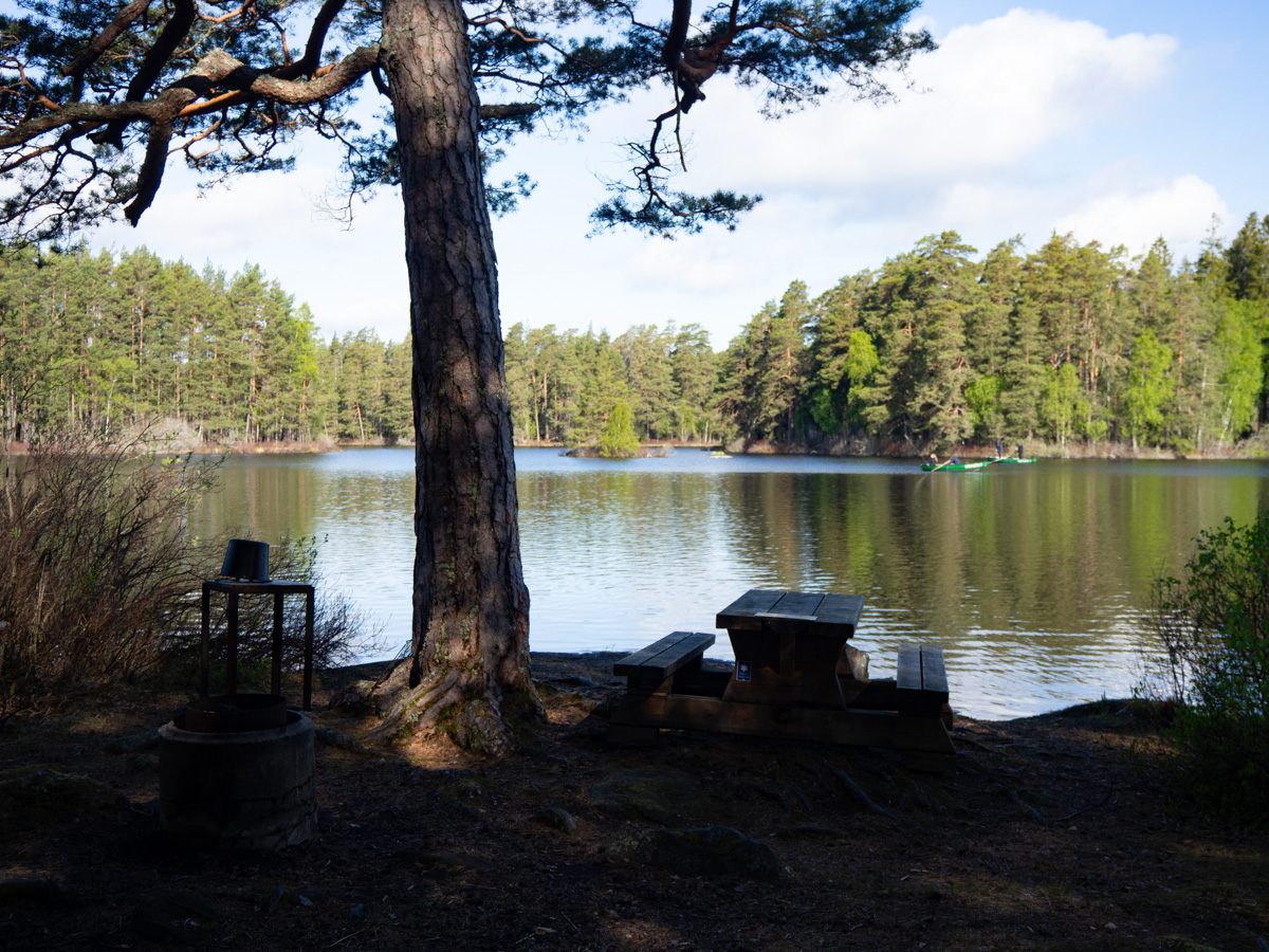
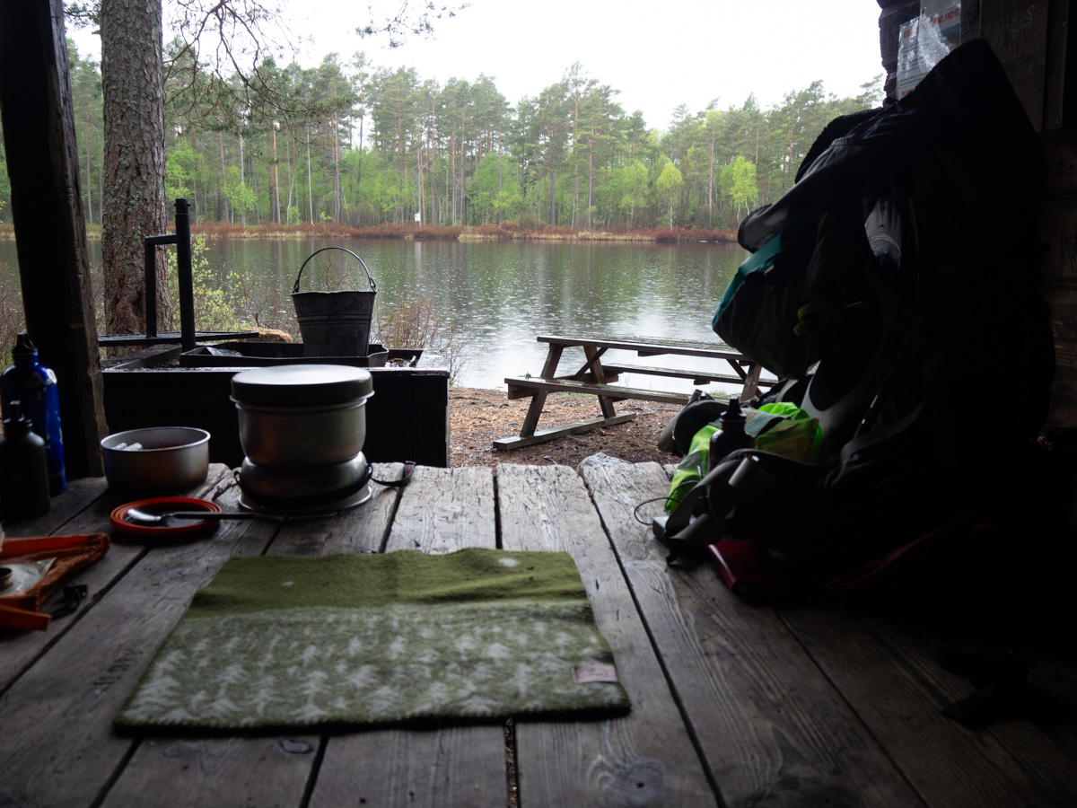
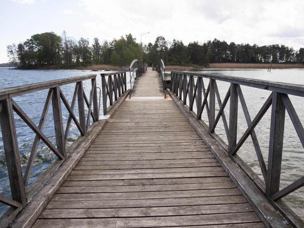
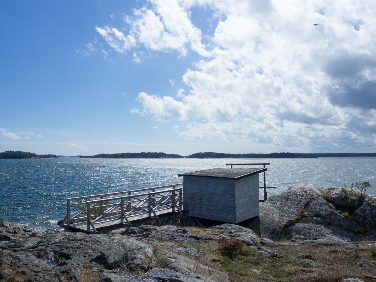
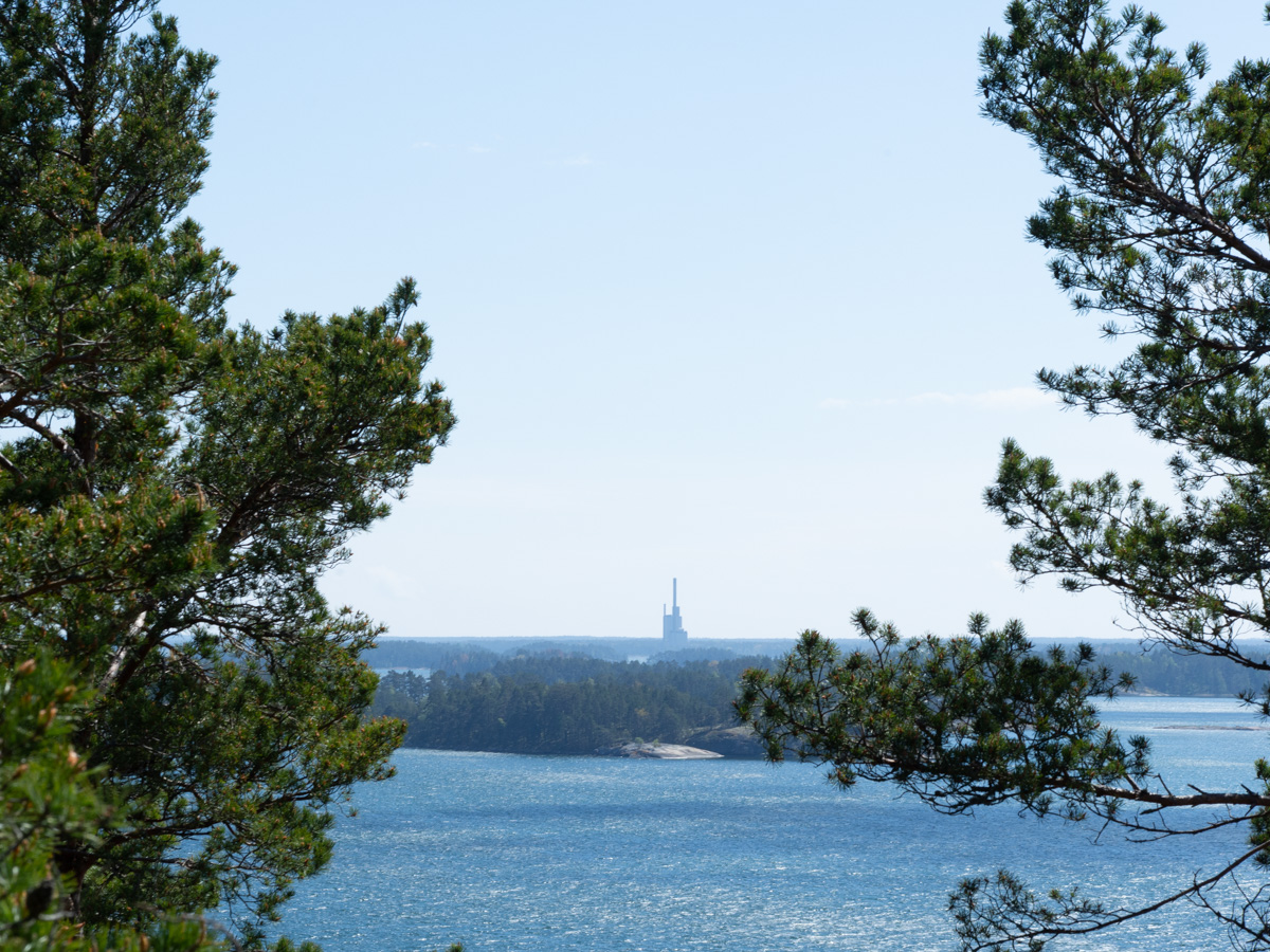
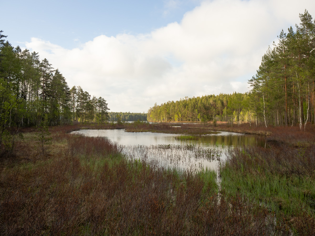
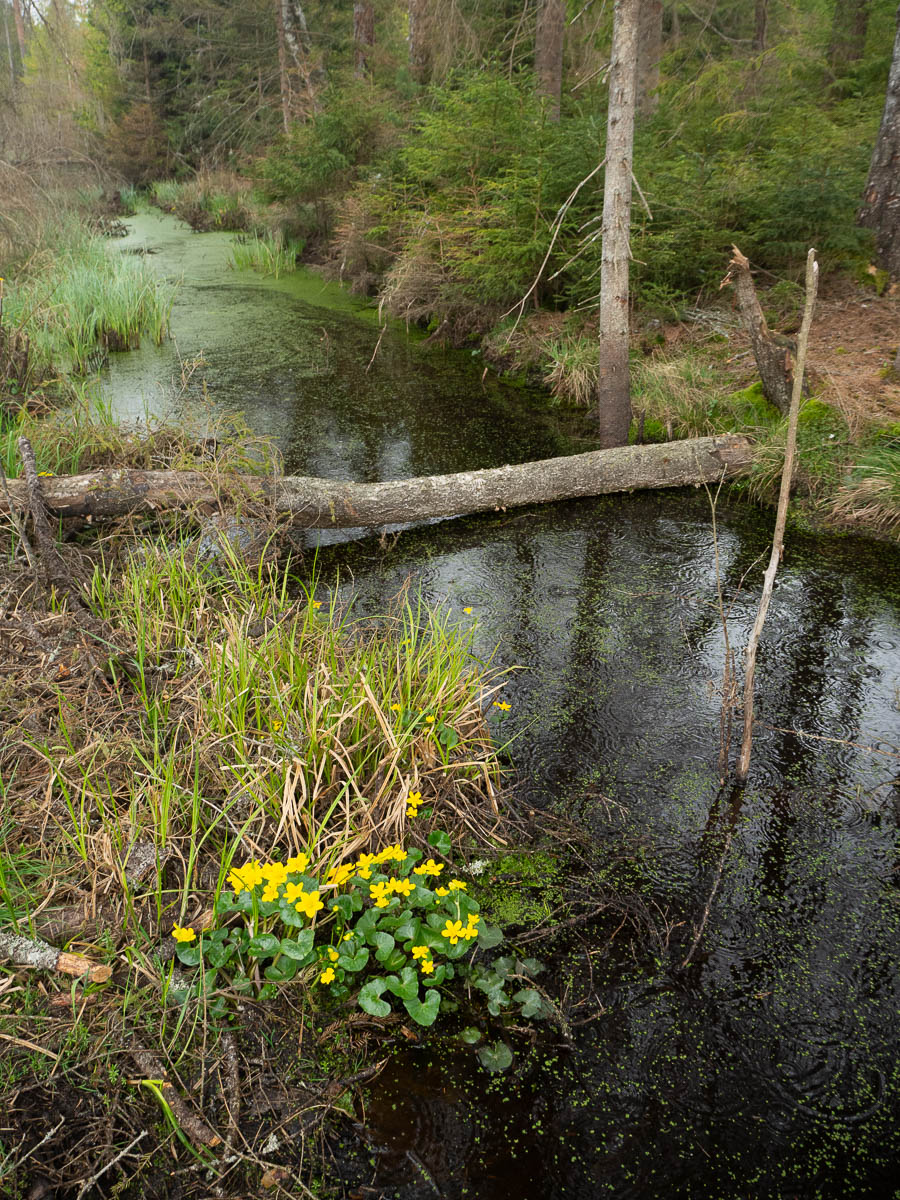
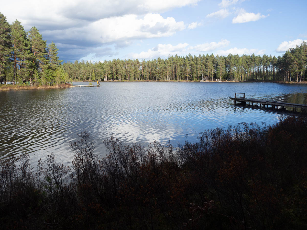
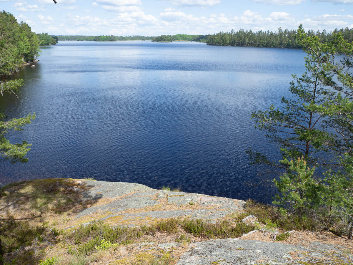
There were pretty lakes, as usual.
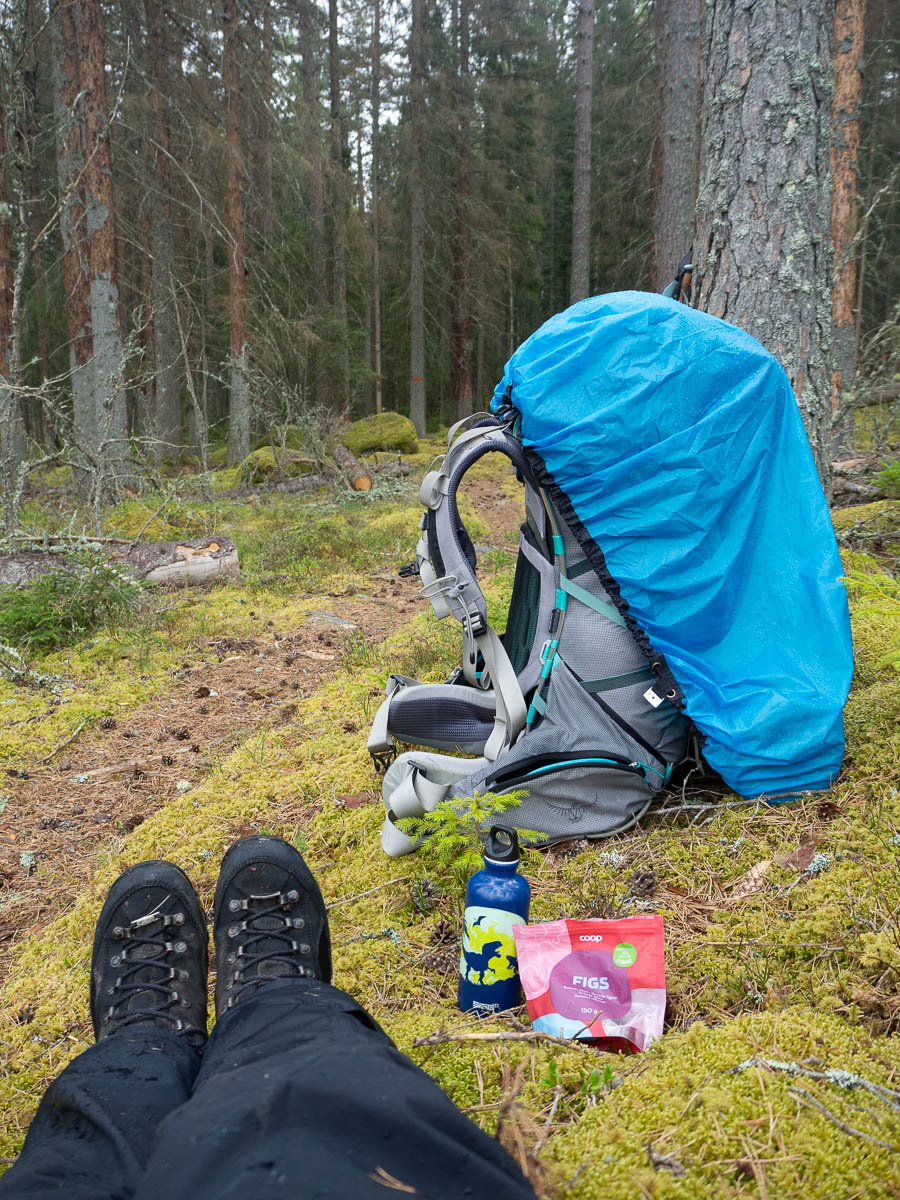
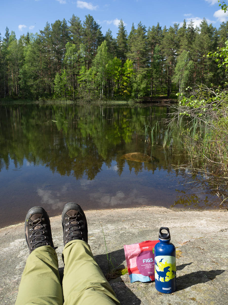
Dried fruit is the best trail snack. Especially larger fruit (so, like, figs or apricots rather than raisins or cranberries) that’s firm and dry. Sometimes I accidentally buy “wet” dried apricots – I don’t know what they do with them, but I find them horrible.
I’ve got two one-litre water bottles inside my pack, and a small one easily accessible in a hip belt pocket. The small one I inherited from Adrian. He’s too cool for dinosaurs now. I’ve got a Hello Kitty one from Ingrid as well. I’m not too cool to embrace my inner child.
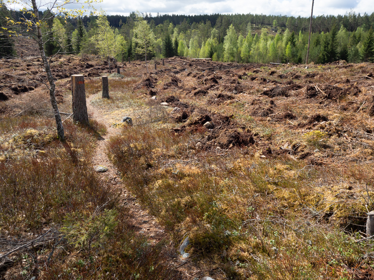
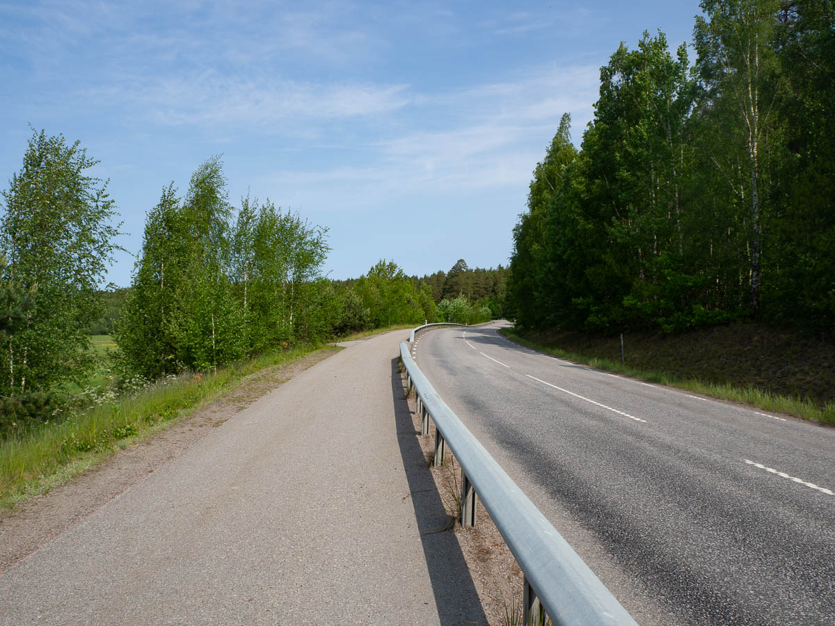
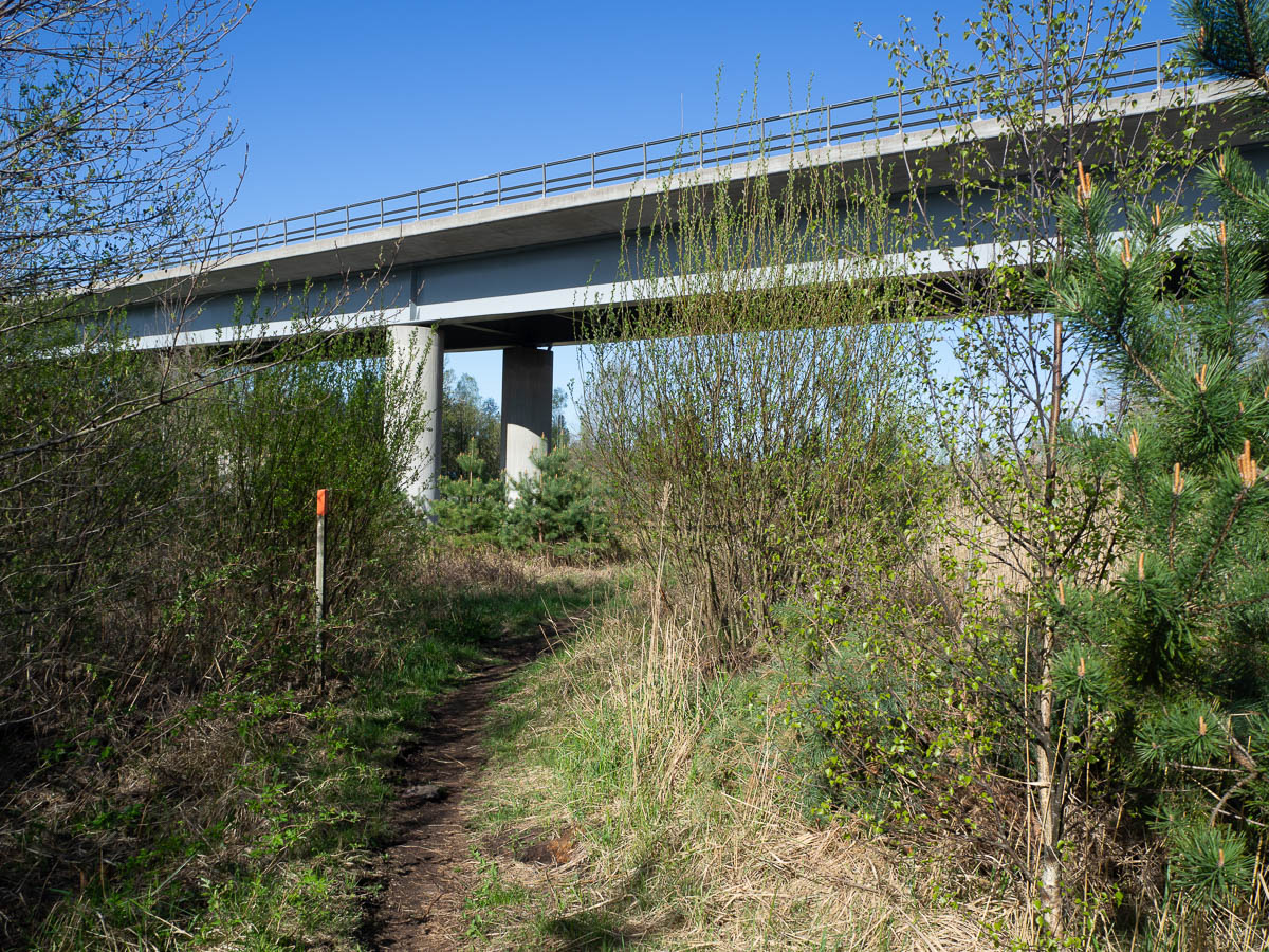
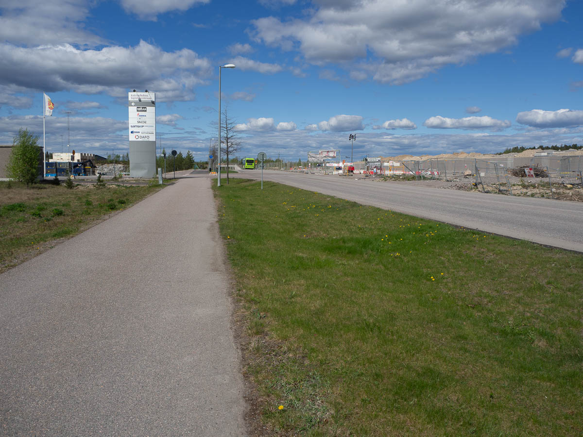
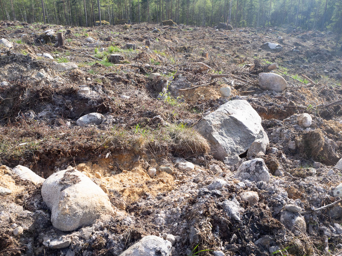
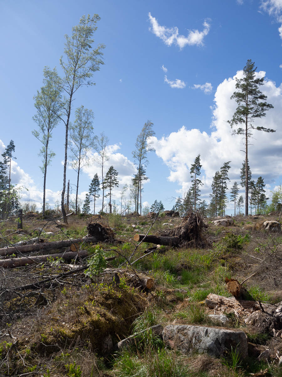
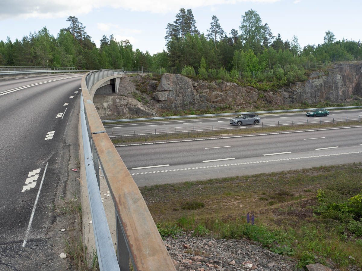
The trail managed to stay away from human habitation nearly all the way. There were no clear-cuts and no gravel roads. Very beautiful and pleasant walking. Only once did the trail descend onto a short stretch of highway, to cross an even larger highway, but as soon as that was done, it moved onto a small path again.
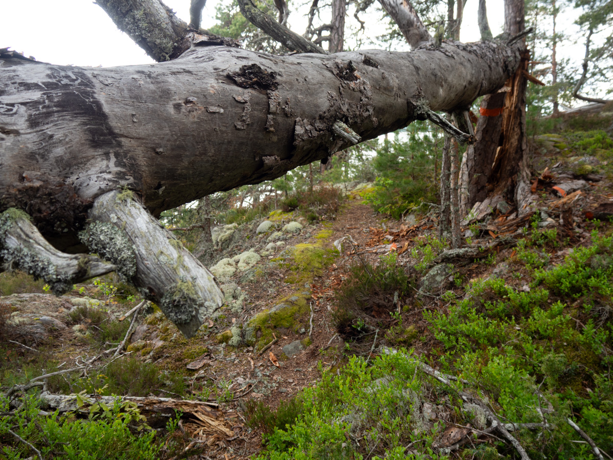
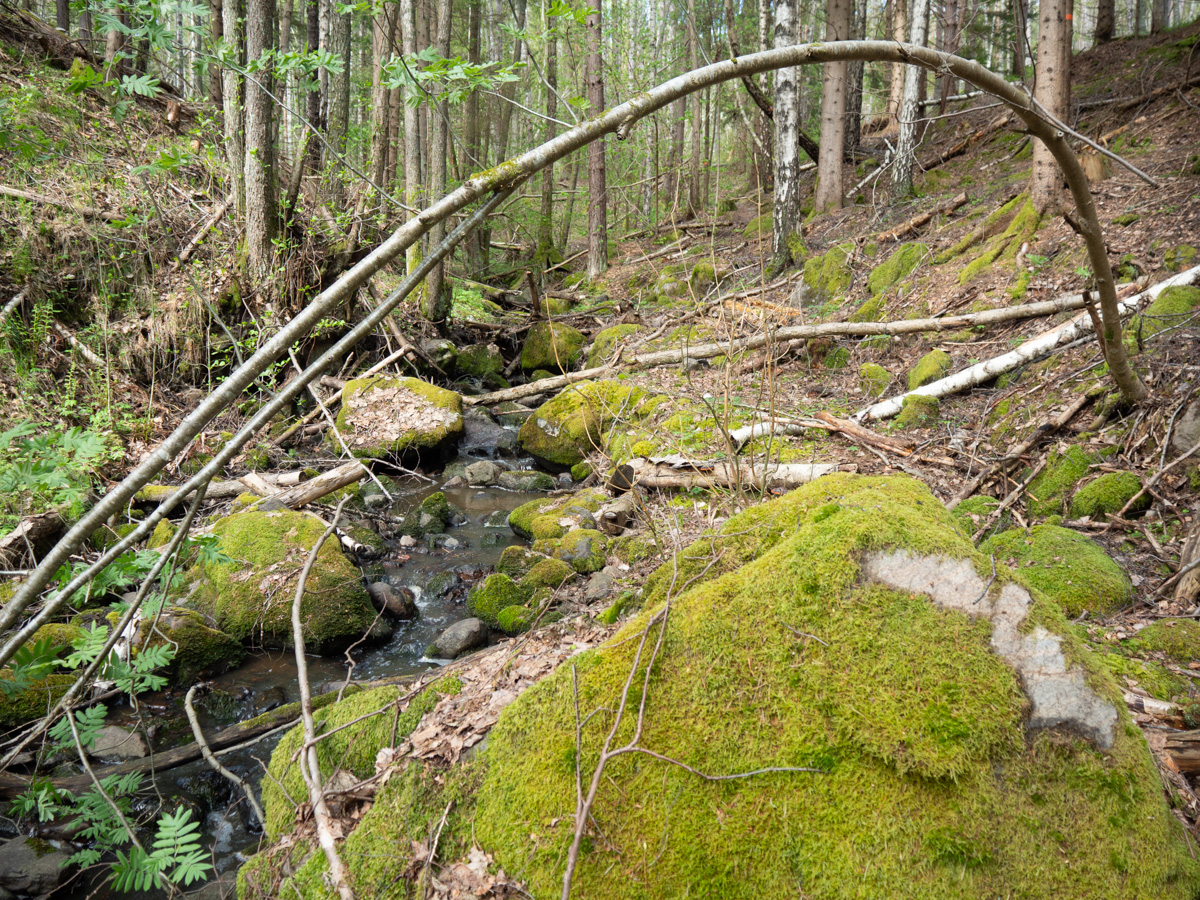
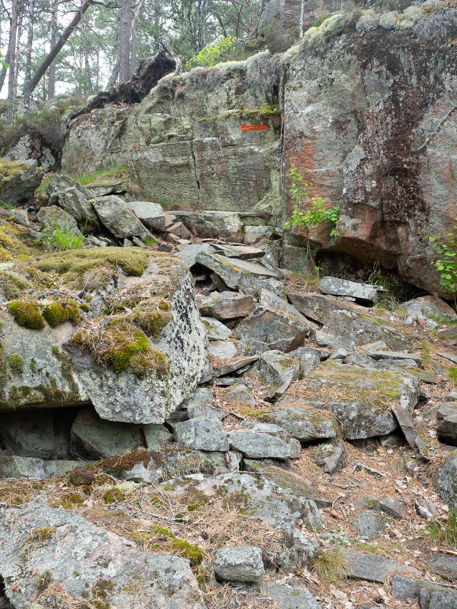
Evening brought interesting rock formations in pretty evening light.
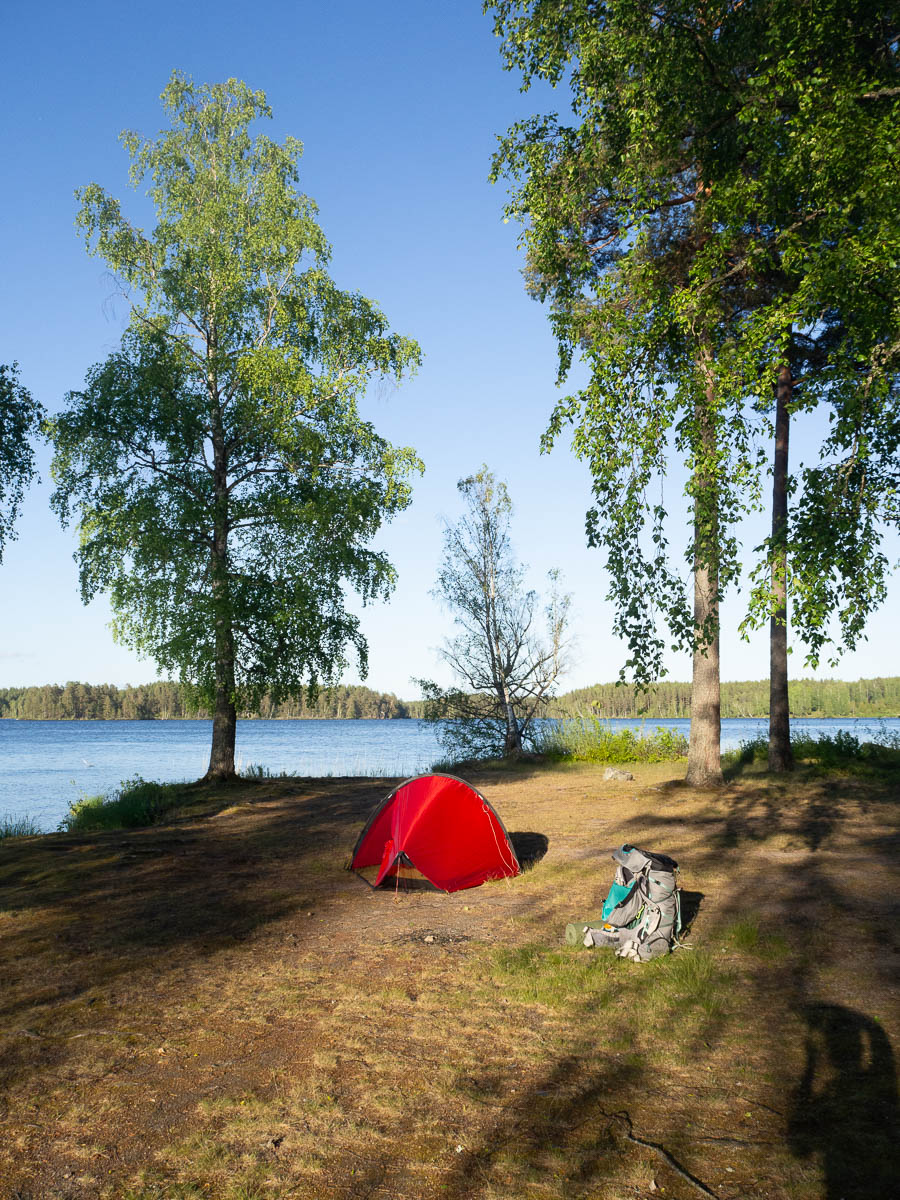
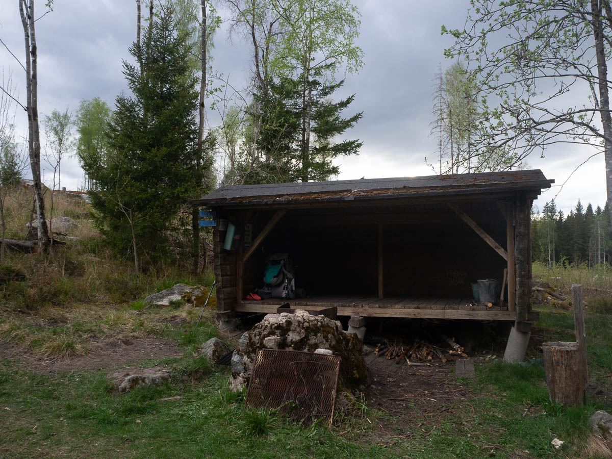
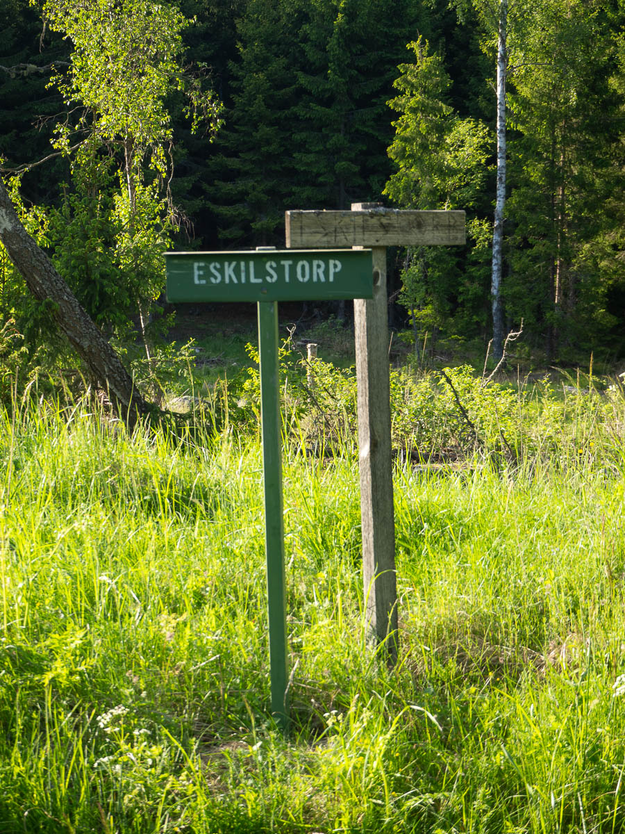
I had vaguely been thinking of aiming for the lakeside shelter halfway through stage 31, but got tired before I got that far. Stopped for the night at Eskilstorp, which, judging from the name, was at one point the site of a small farm or crofter’s cottage. The cottage was all gone, except for the stone foundation, which was still all square and house-shaped.
It was tempting to put up my tent in the middle of the foundation, but the ground there was lumpy and full of big tussocks of grass, so I had to move a few metres away.
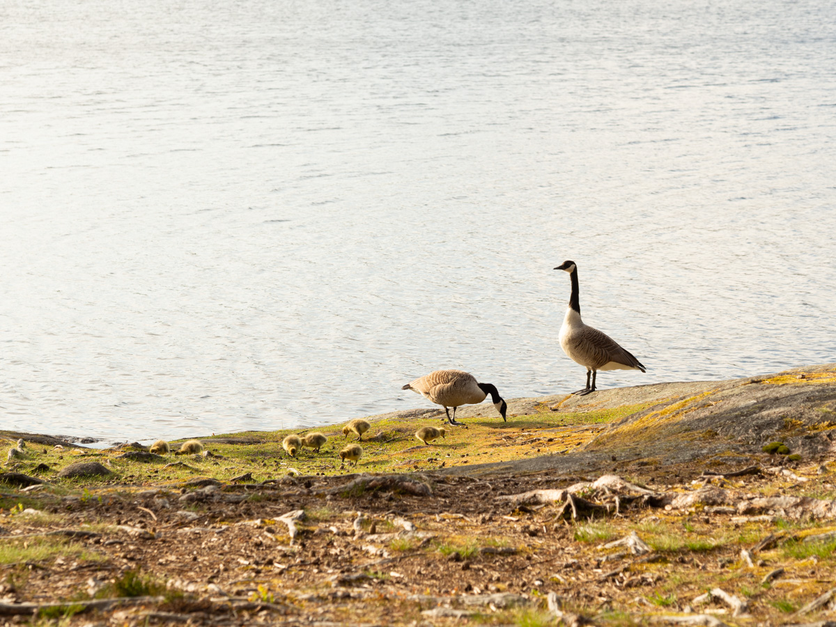
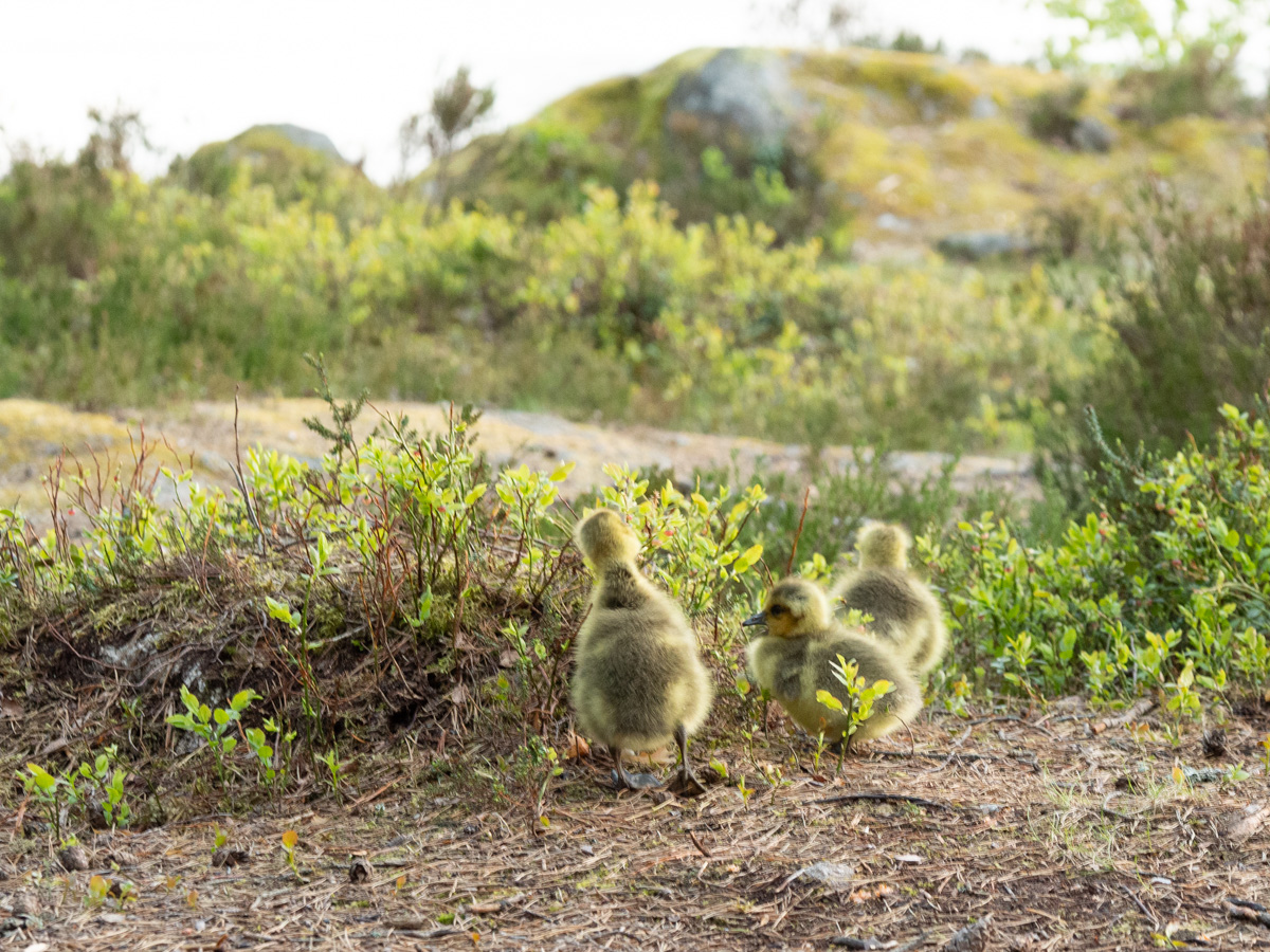
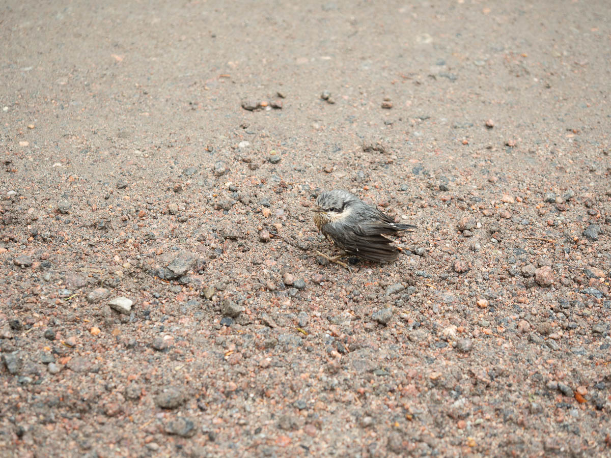
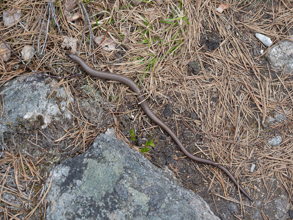
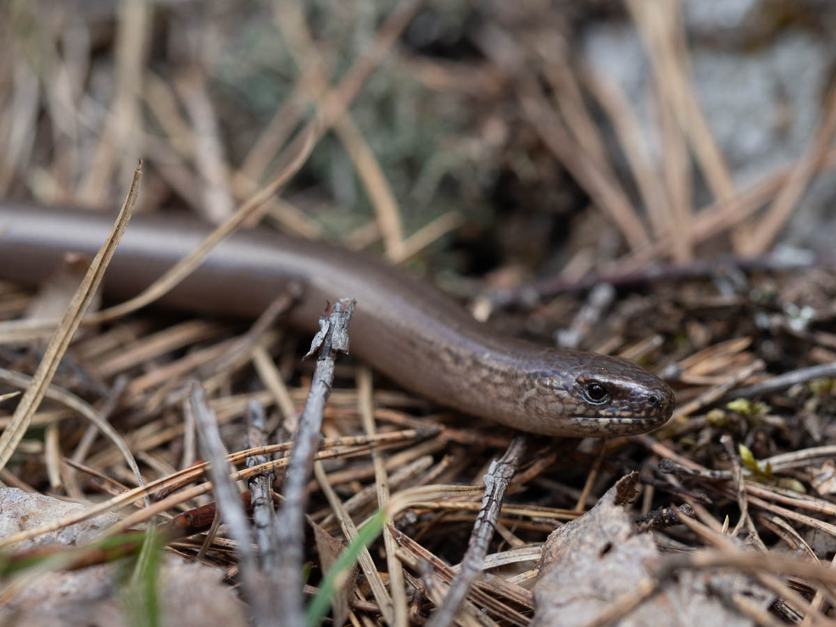
Wildlife: a few bones of a dead deer, and birds. So much birdsong! Blackbirds and chaffinches everywhere, but I also heard cuckoos many times, and of course a background chorus of various smaller songbirds. Earplugs were a necessity to be able to sleep.