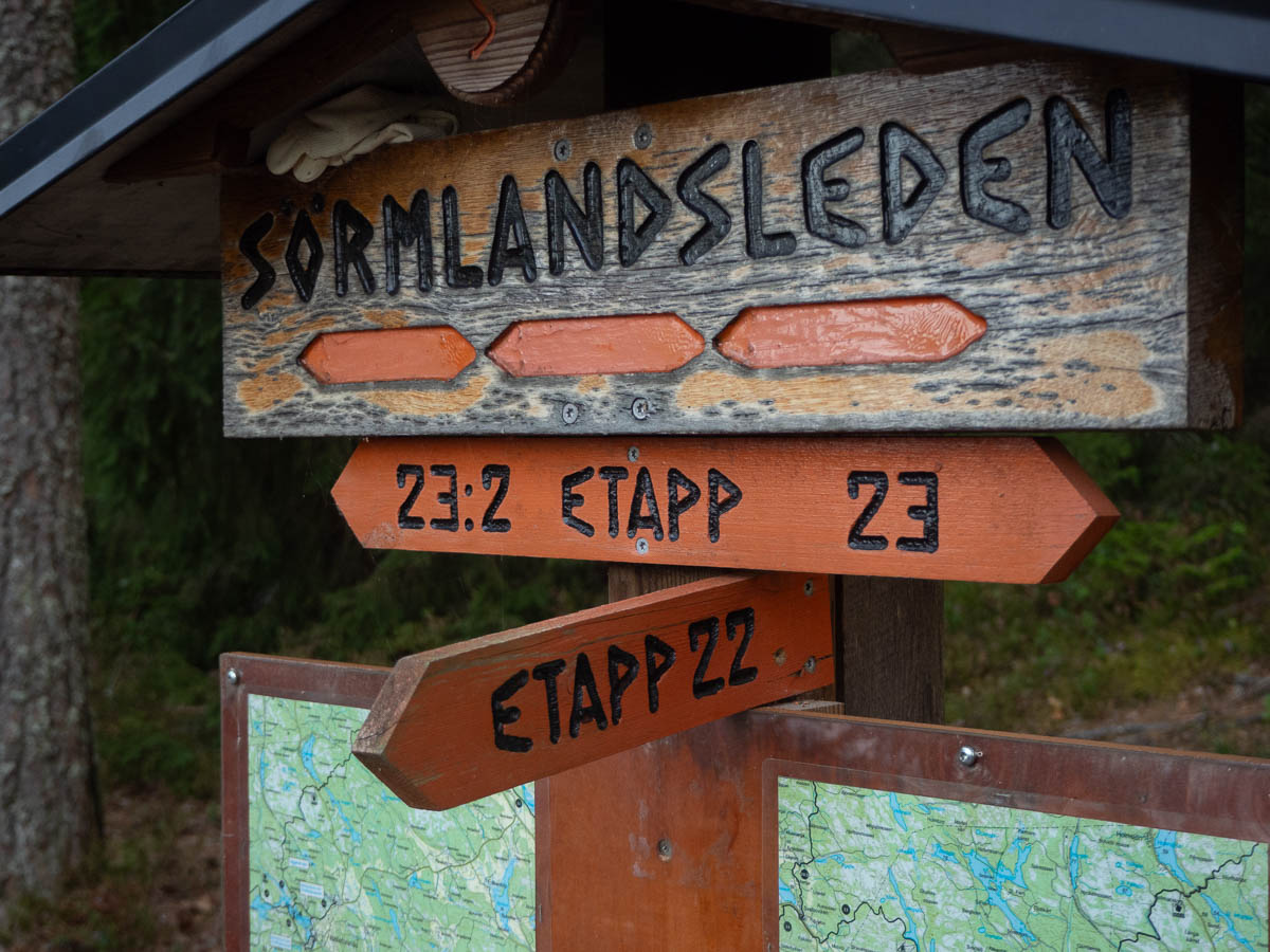
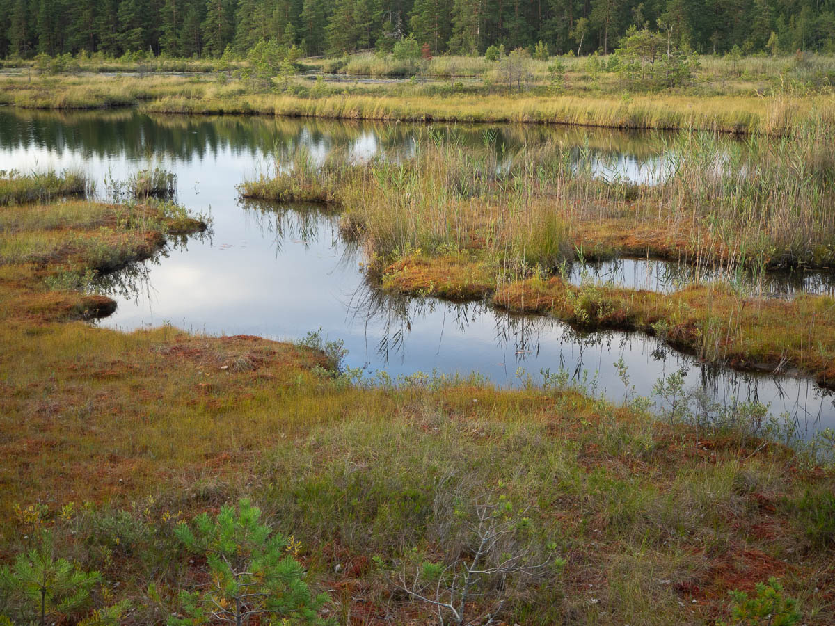
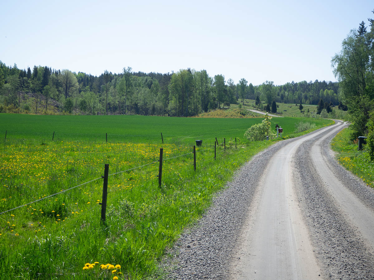
From lake Myr-Gryten in the middle of stage 25 to the shelter just south of lake Skogasjön on stage 27. 22 km.

The days from day 3 to the next to last day of the hike are the best ones. So for a four-day hike, day 3 is the zenith. Daily life is far away, I’ve settled into a good rhythm, and it feels like I could continue like this for a long time.

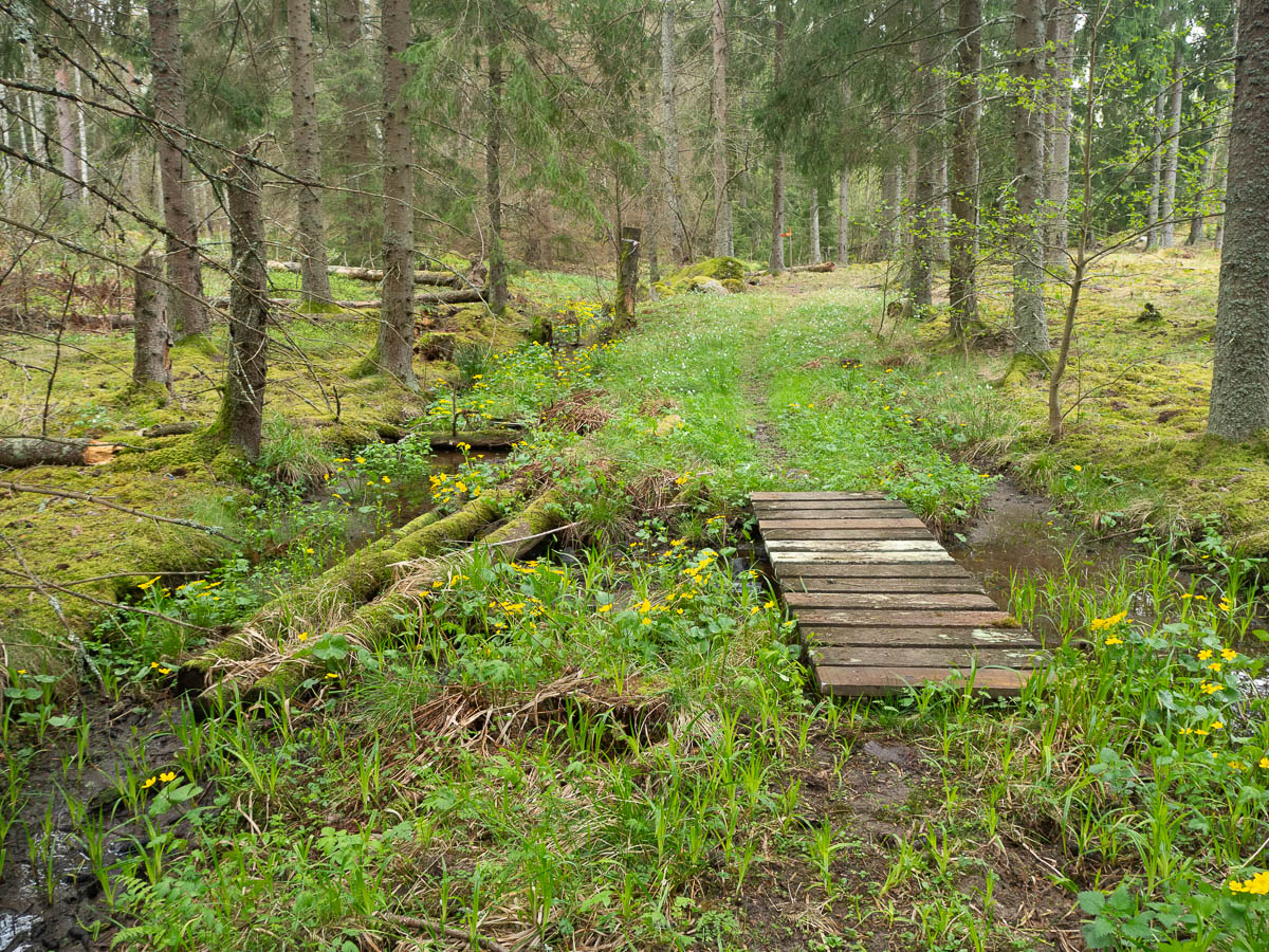
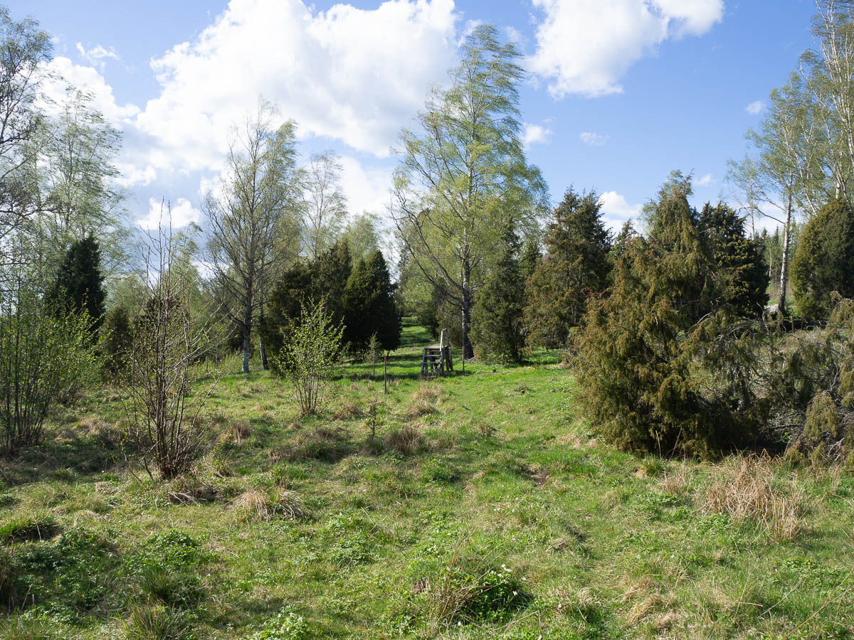
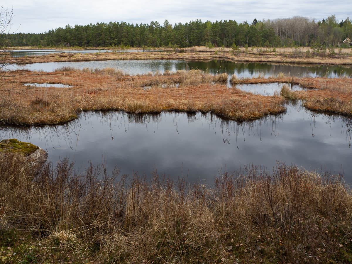
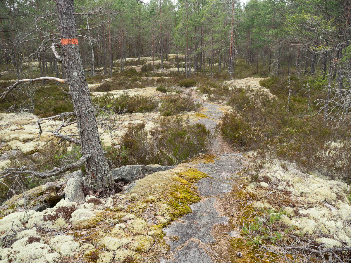
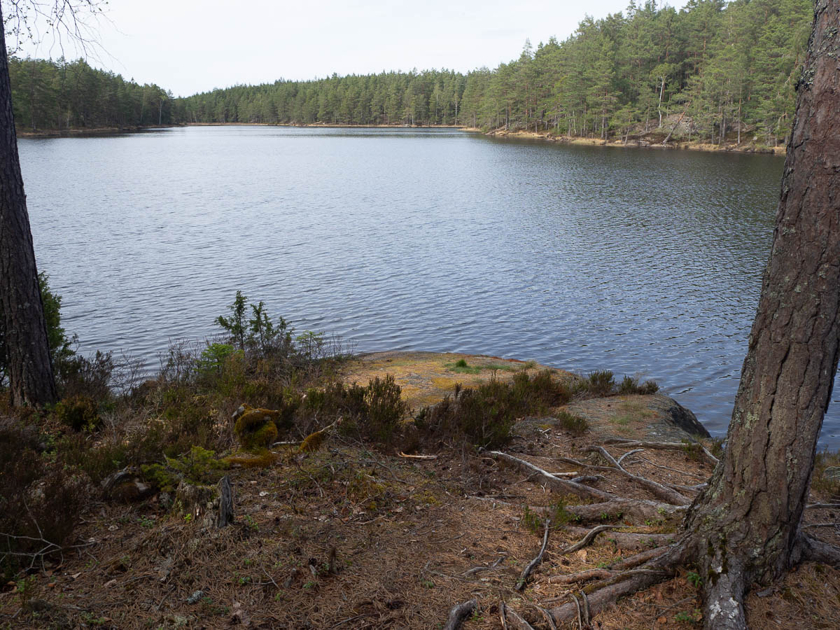
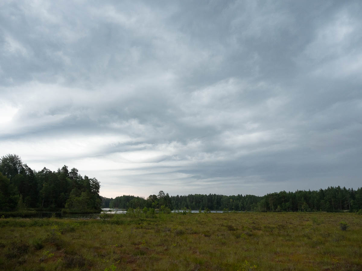
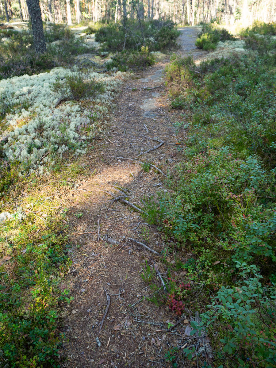
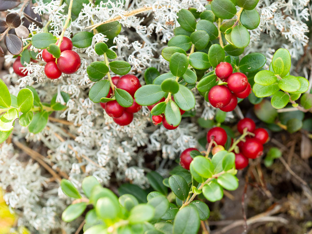
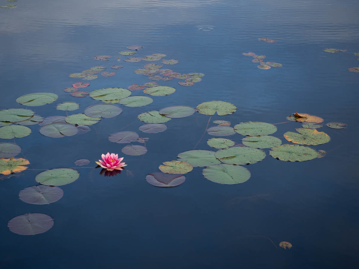
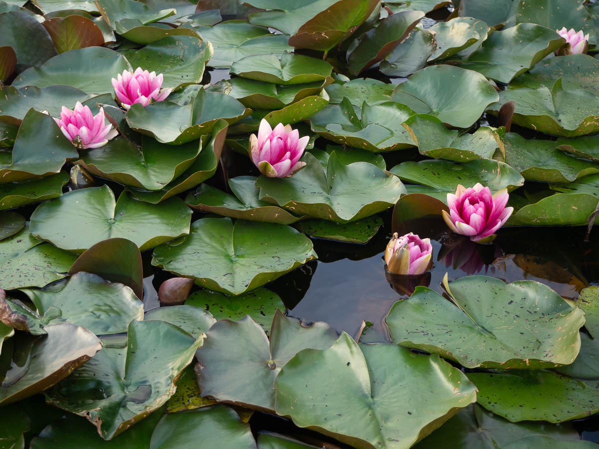
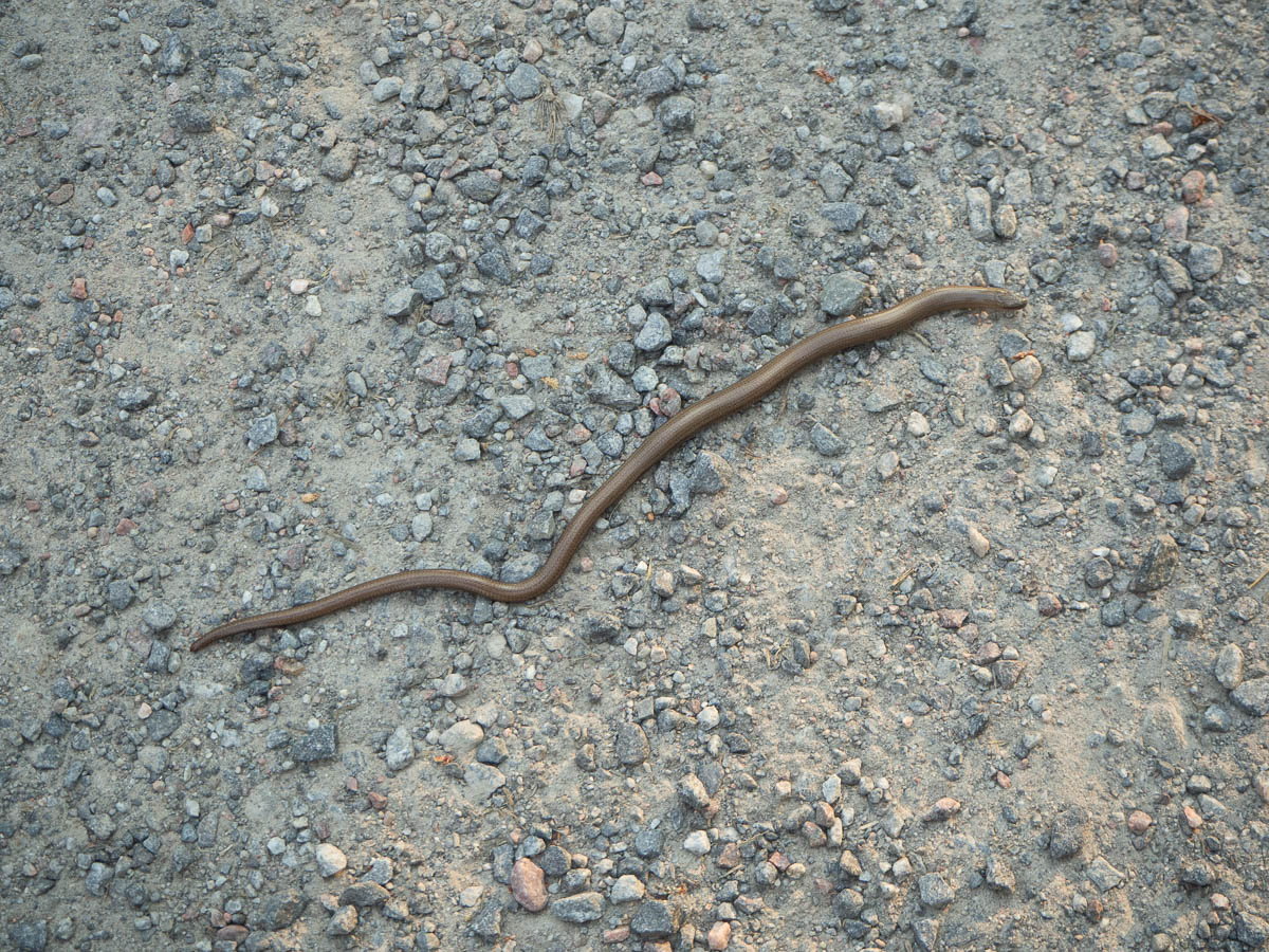
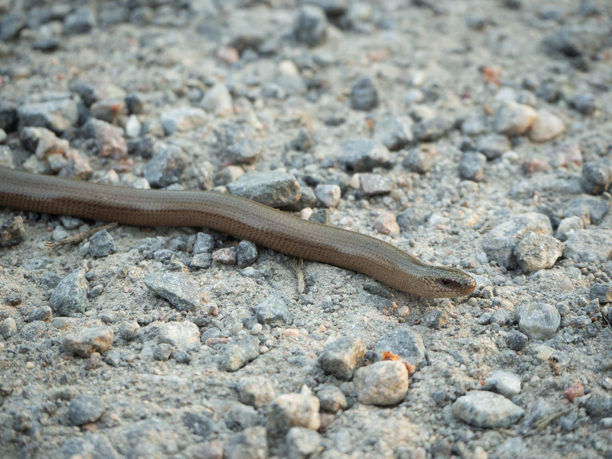
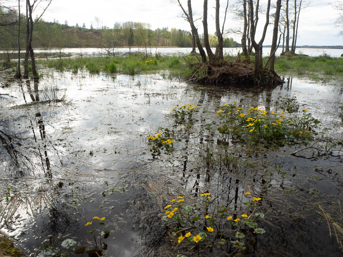
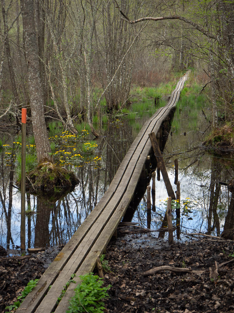
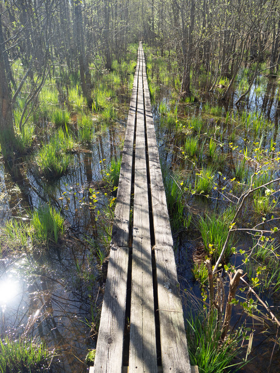
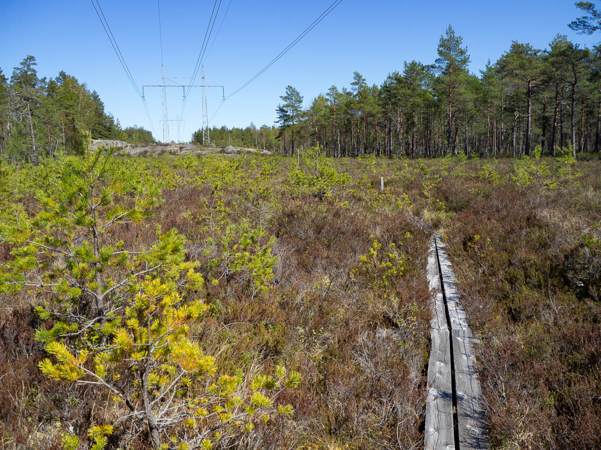
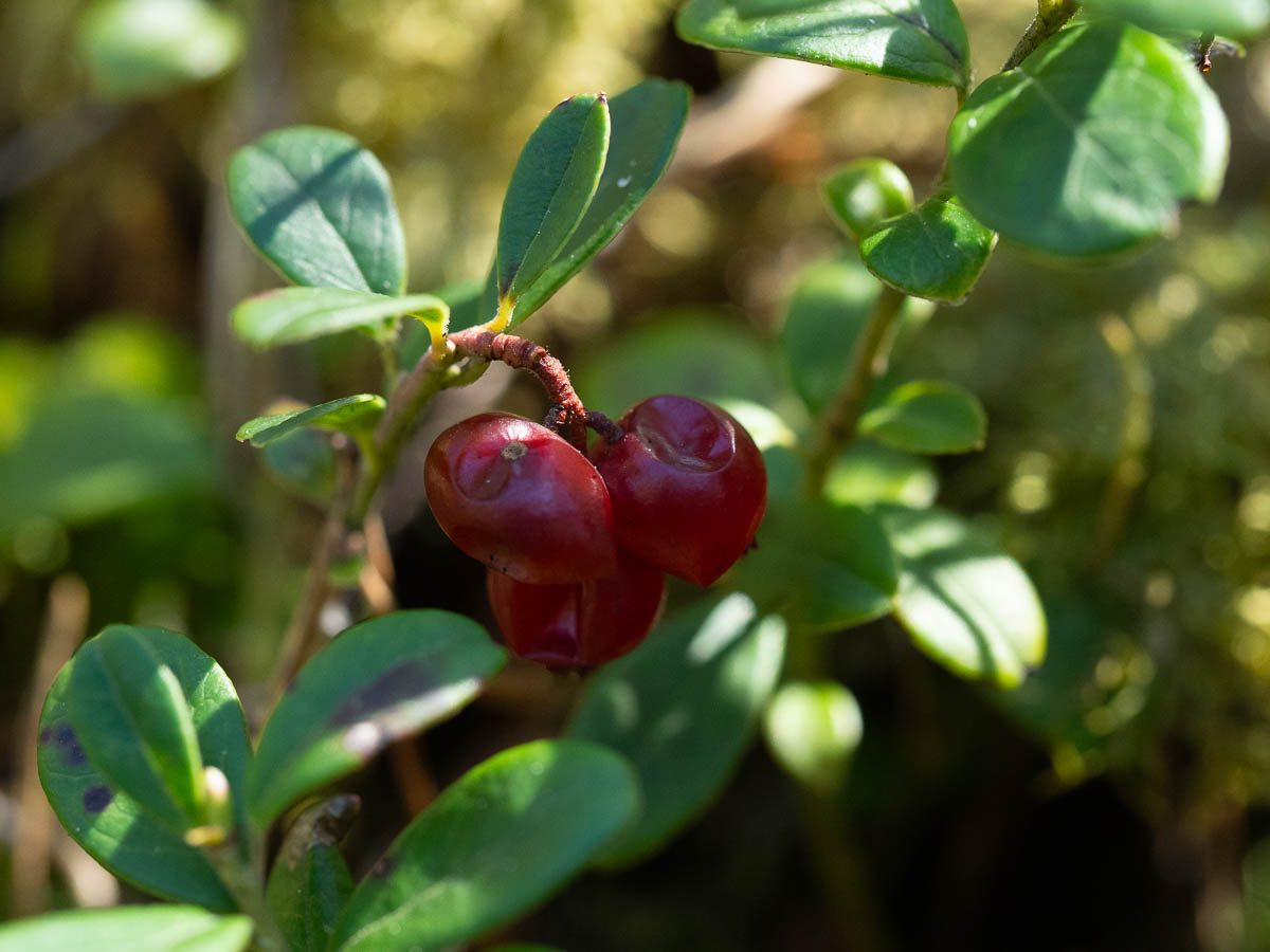
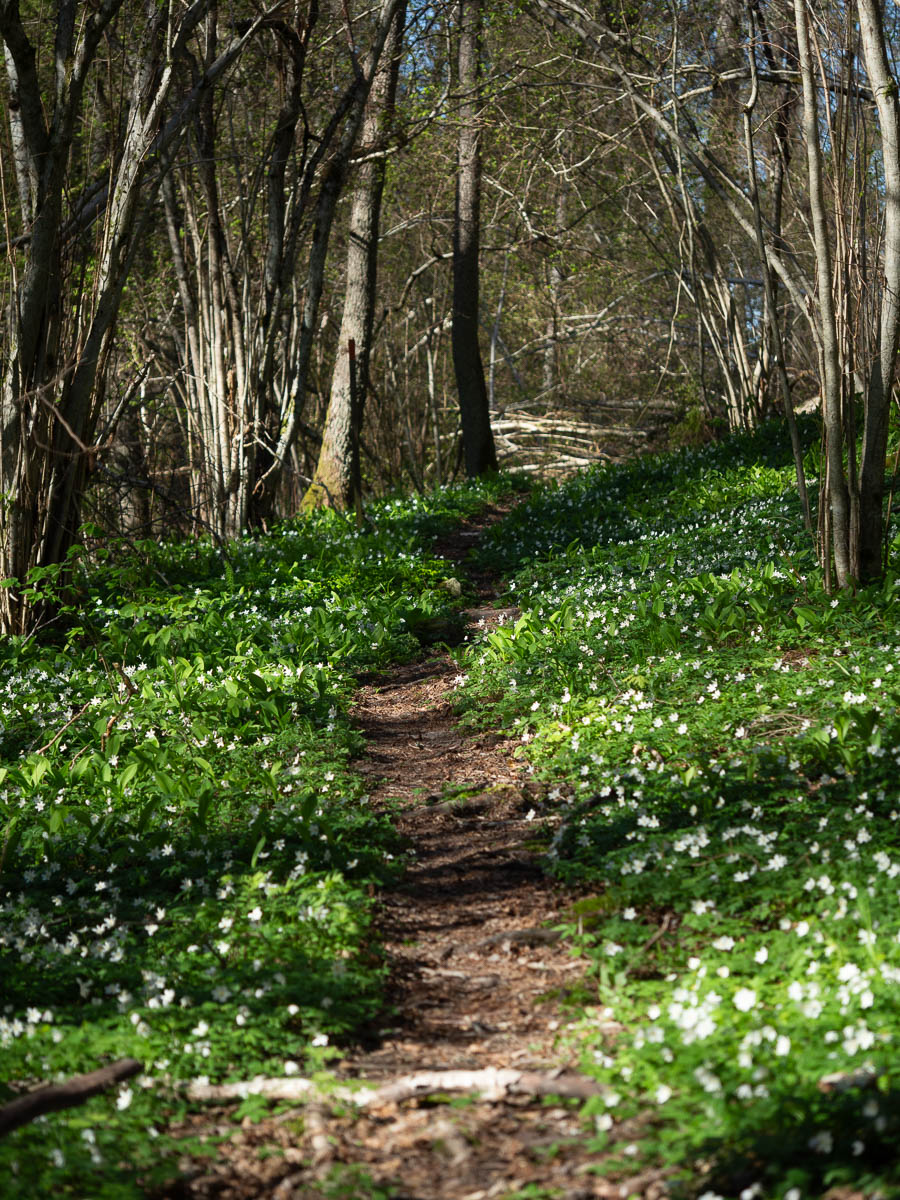
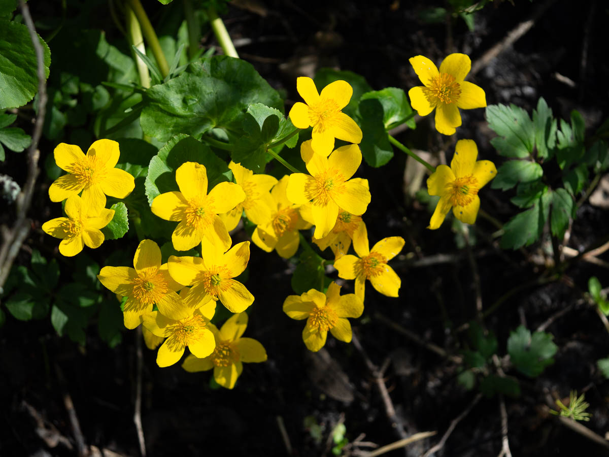
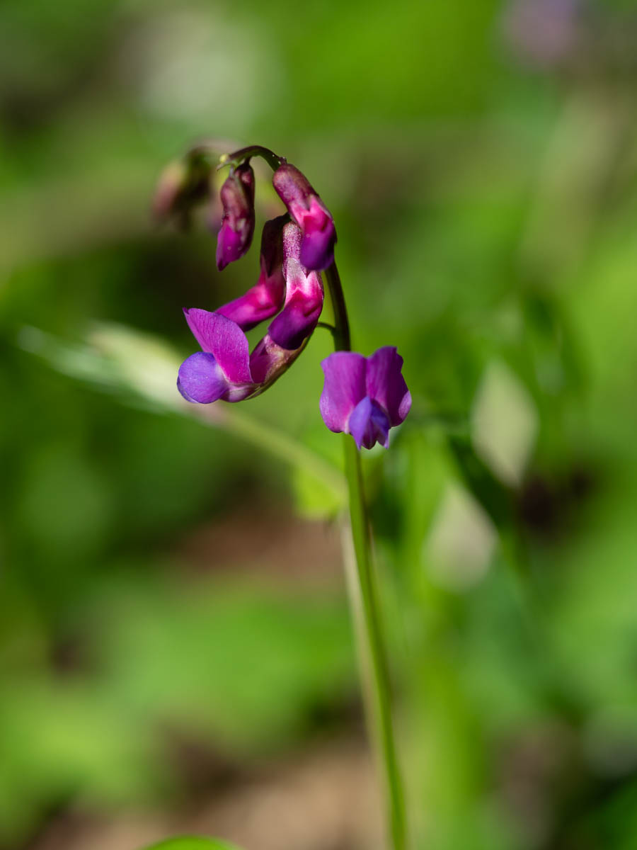
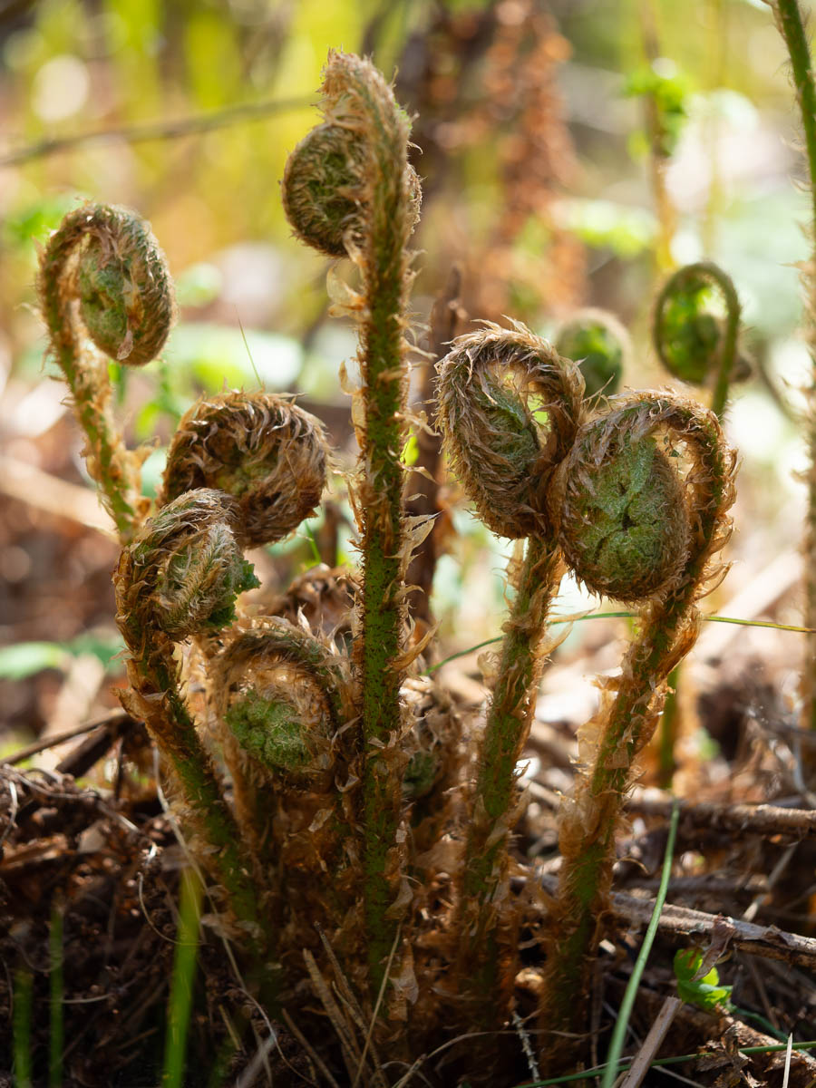
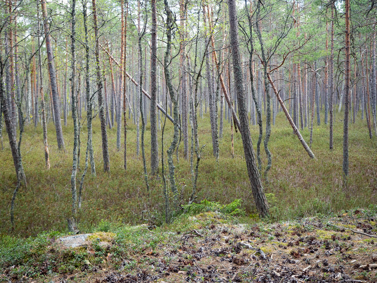
It’s a beautiful time of the year. Everything is getting greener and lusher, almost so I can see it happen.

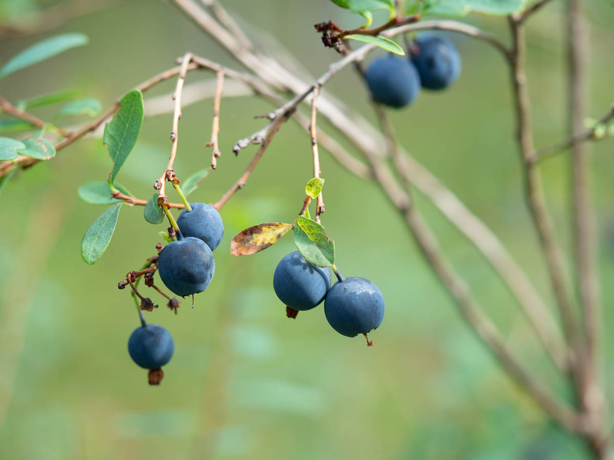
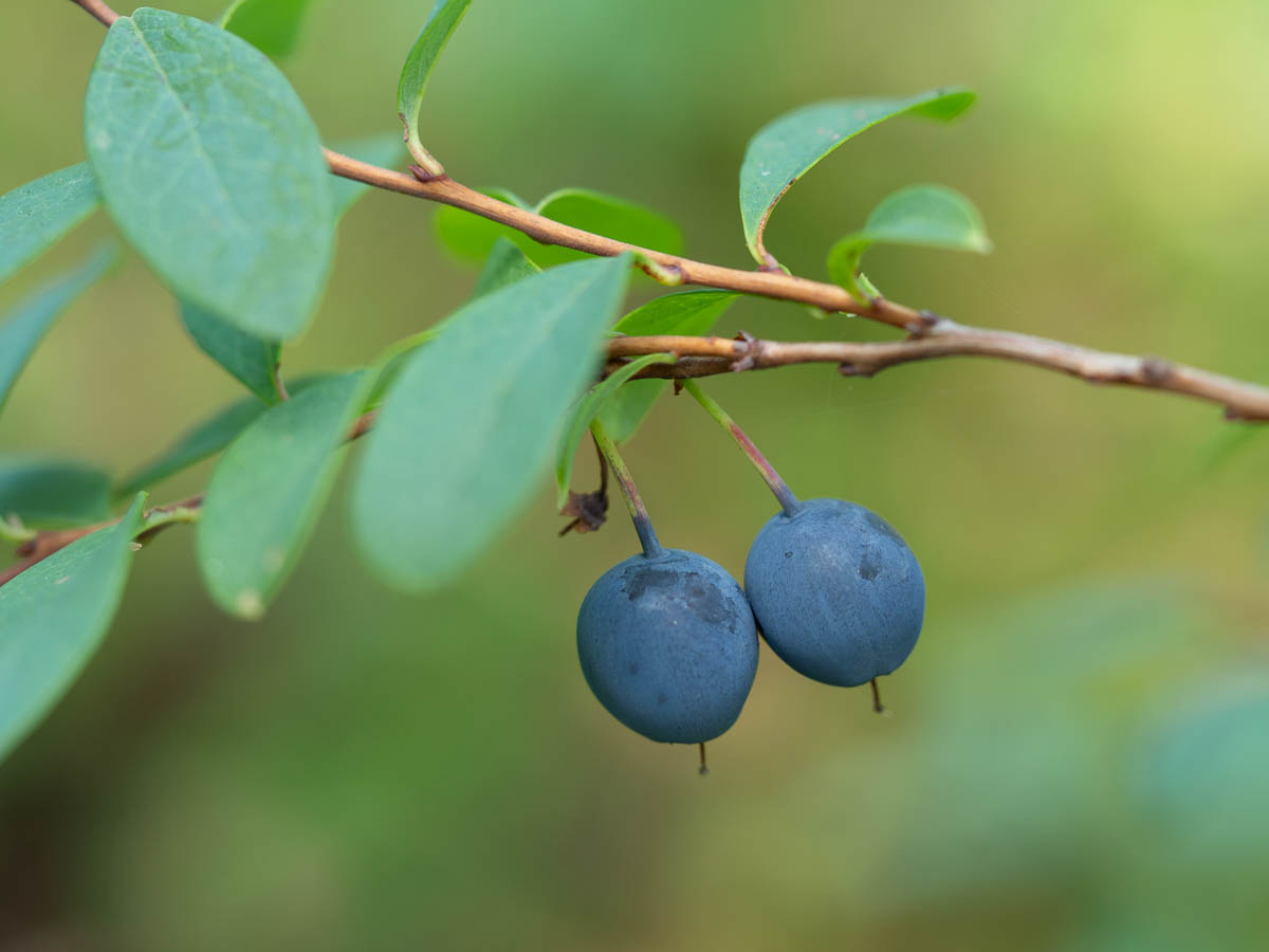
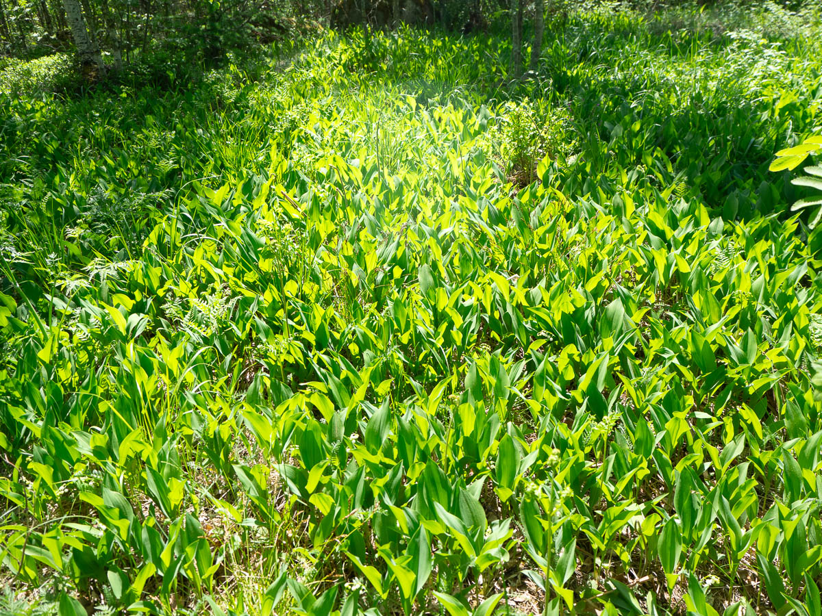
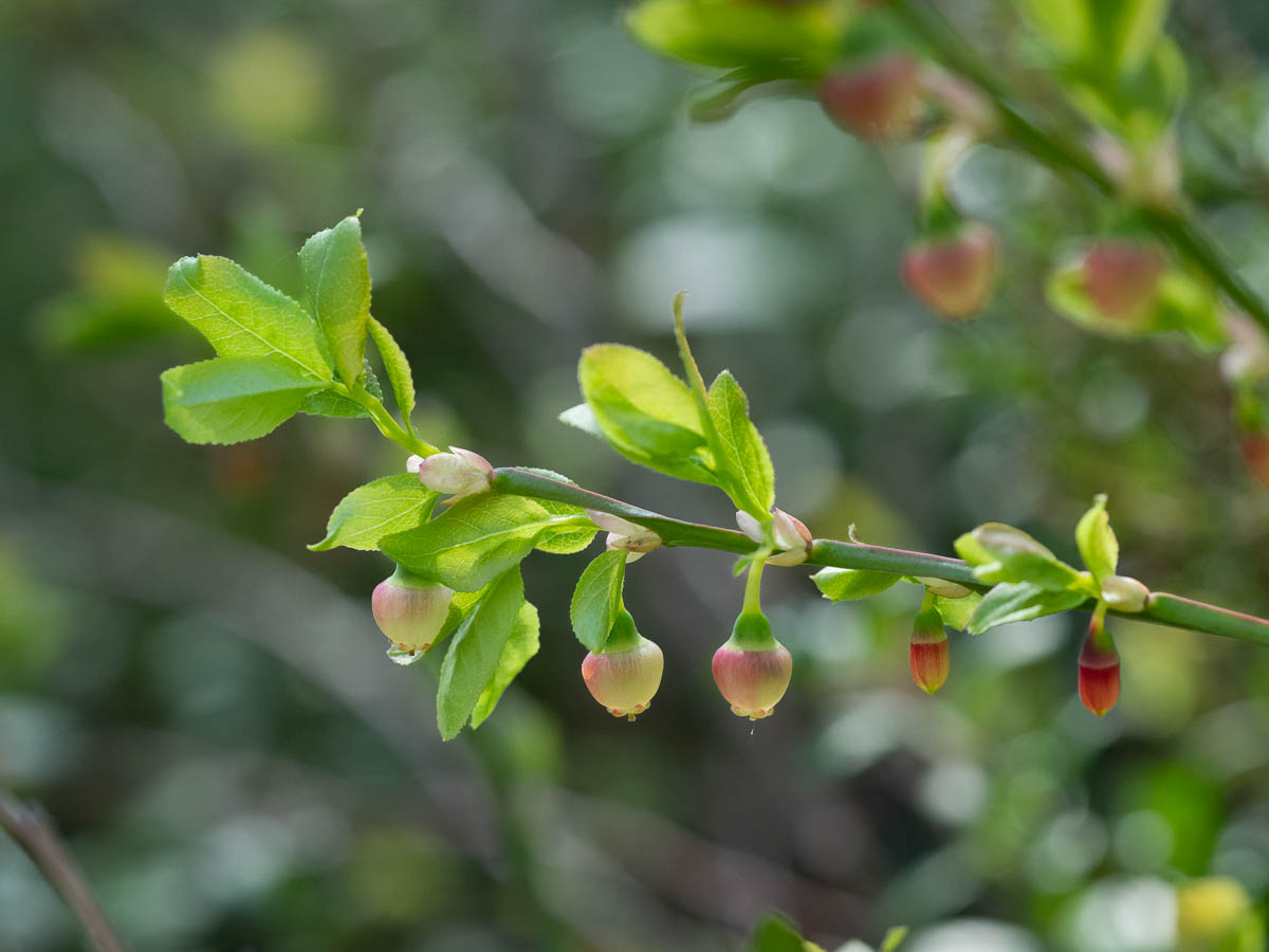
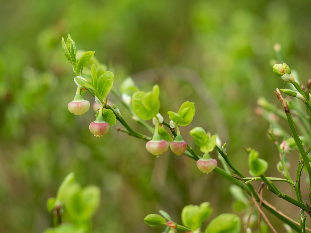
Bilberries were only just getting started in some places, while in others they were already flowering. Bilberry flowers look like small berries of their own.

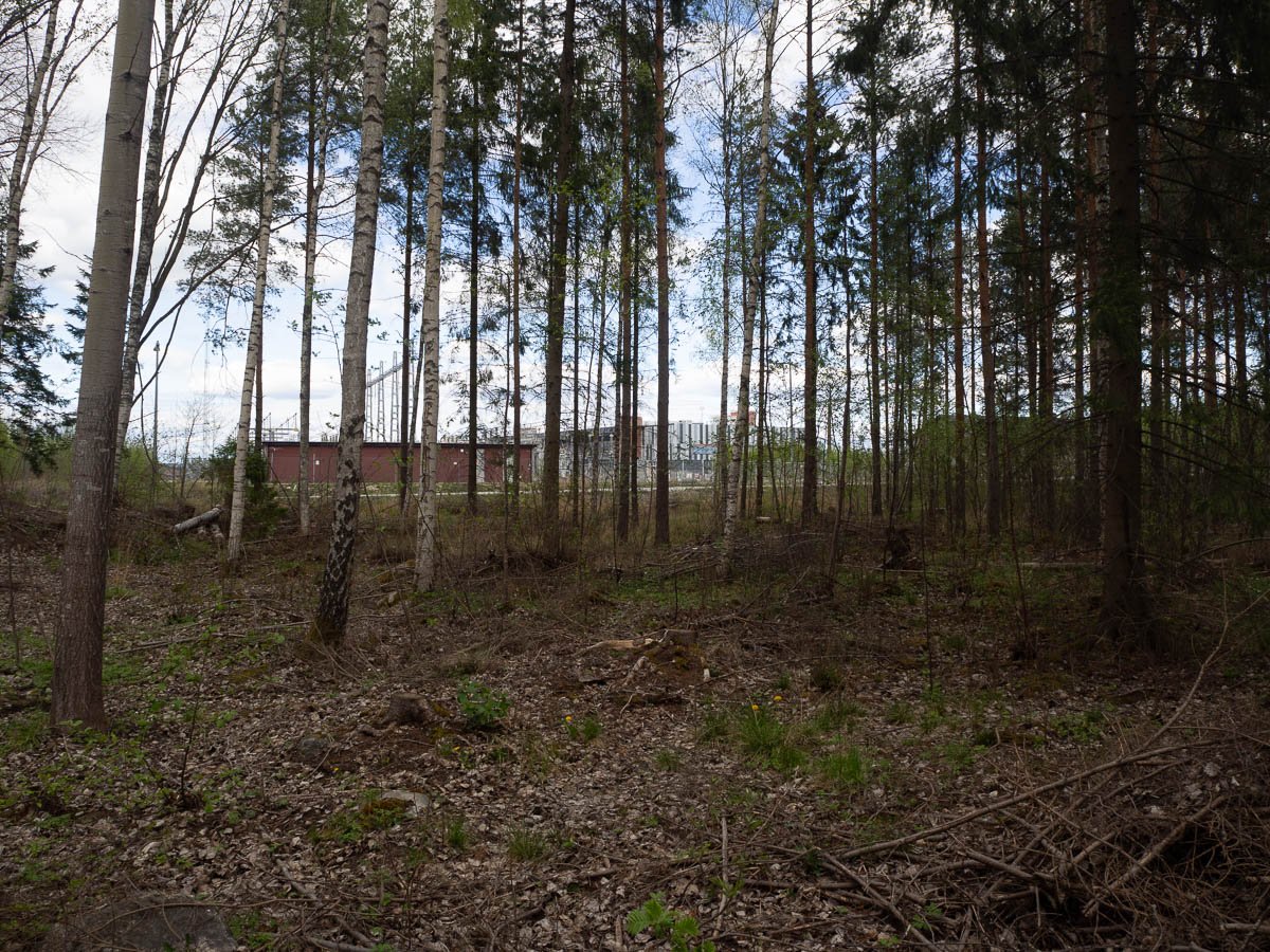
Around lunchtime, the trail veered close to Katrineholm and then skirted around its eastern edge for a while. All of a sudden I went from quiet forests to Burger King and big-box stores.

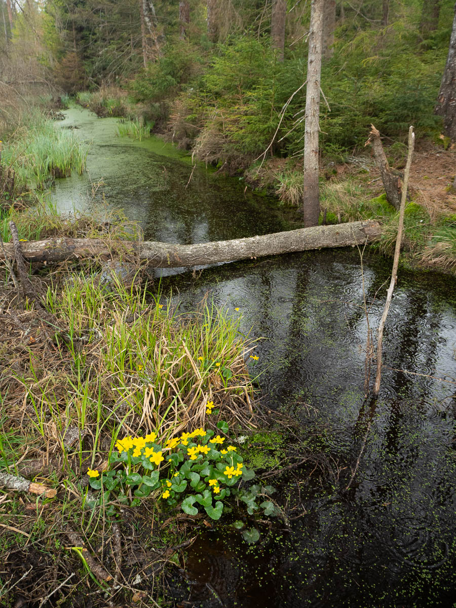
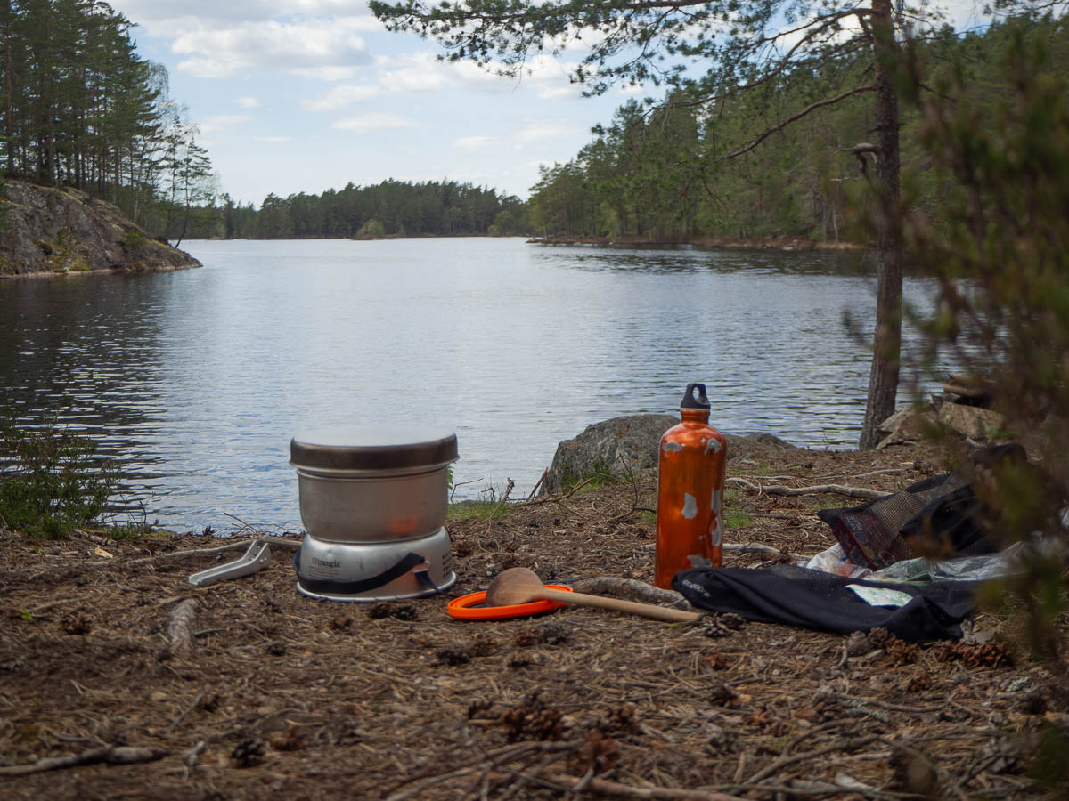
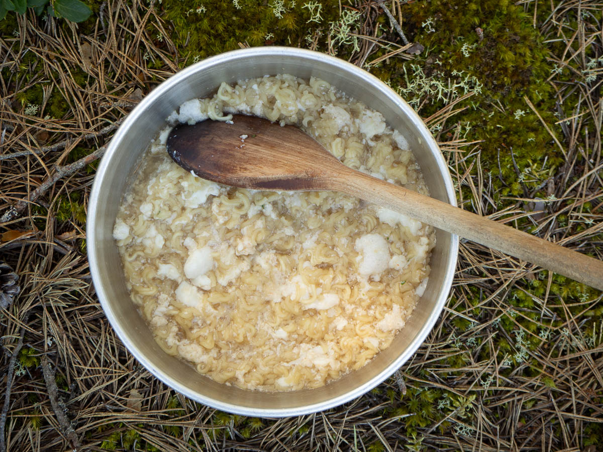
This worked out rather well, because I was getting worried about my water supply. The first freshwater spring this morning had several large frogs in it. The water looked crystal clear, but the idea of drinking frog bath water still felt strange. I filled up my flasks anyway – frog water is better than no water, and I can use it for cooking my noodles, if nothing else – but it’s not what I’d choose, if I had a choice.

The next spring was effectively dry. Quite often the springs around here have a short, wide section of concrete around them, to keep them clean, topped with a lid of some sort. This one had a pipe going down over a meter, and the water was all the way at the bottom, with no bucket or anything.

By the time I got here, I was down to less than half a bottle of clean, frogless water. From the supermarket here I got that topped up, and fresh fruit was also nice.

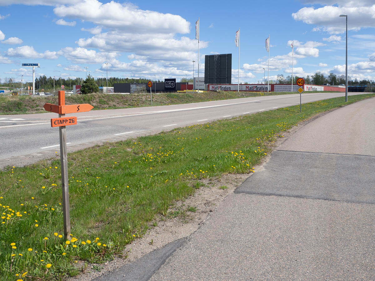
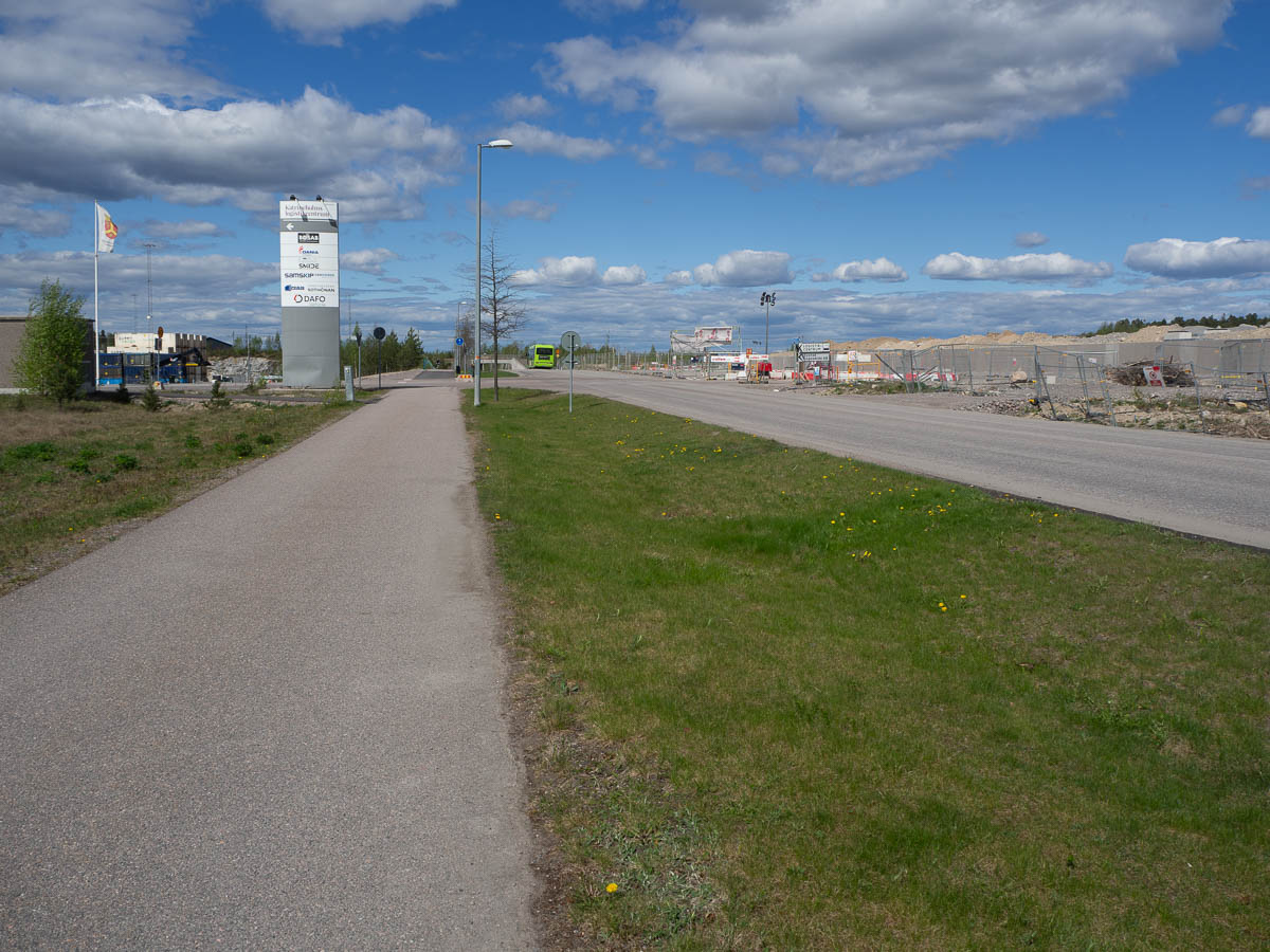
After the supermarket the trail stayed on the outskirts of the Katrineholm urban area for longer than I liked. This long, straight paved track went on forever, with an early-stage construction site on one side and some kind of logistics park on the other. Ugly, boring, sun beating down on me, asphalt hurting my feet, nowhere to even stop and take a break. I promised myself a proper sit-down break the moment I left this track, even if that’s next to someone’s back yard.

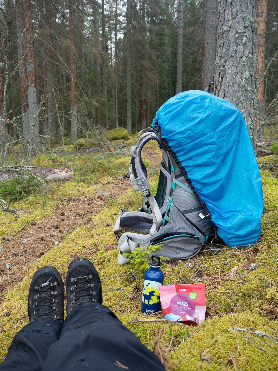
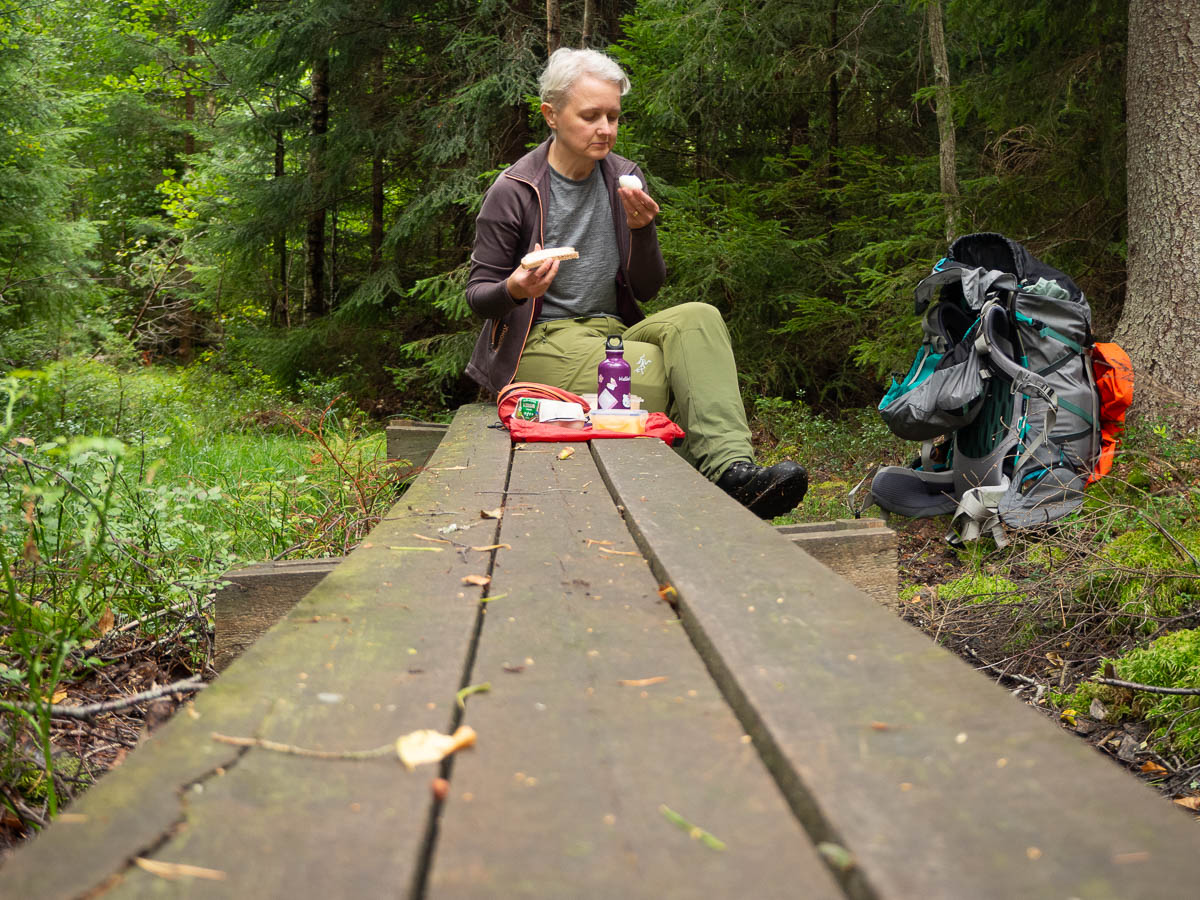
My rest stop did indeed end up being right behind someone’s yard. On my other side, fifty metres of sparse trees separating me from an industrial area. With some creative positioning I could get both out of my view and get some water and dried fruit in me. It was really well past lunchtime, but while this place was OK for a quick snack, I wasn’t desperate enough to set up my stove here.

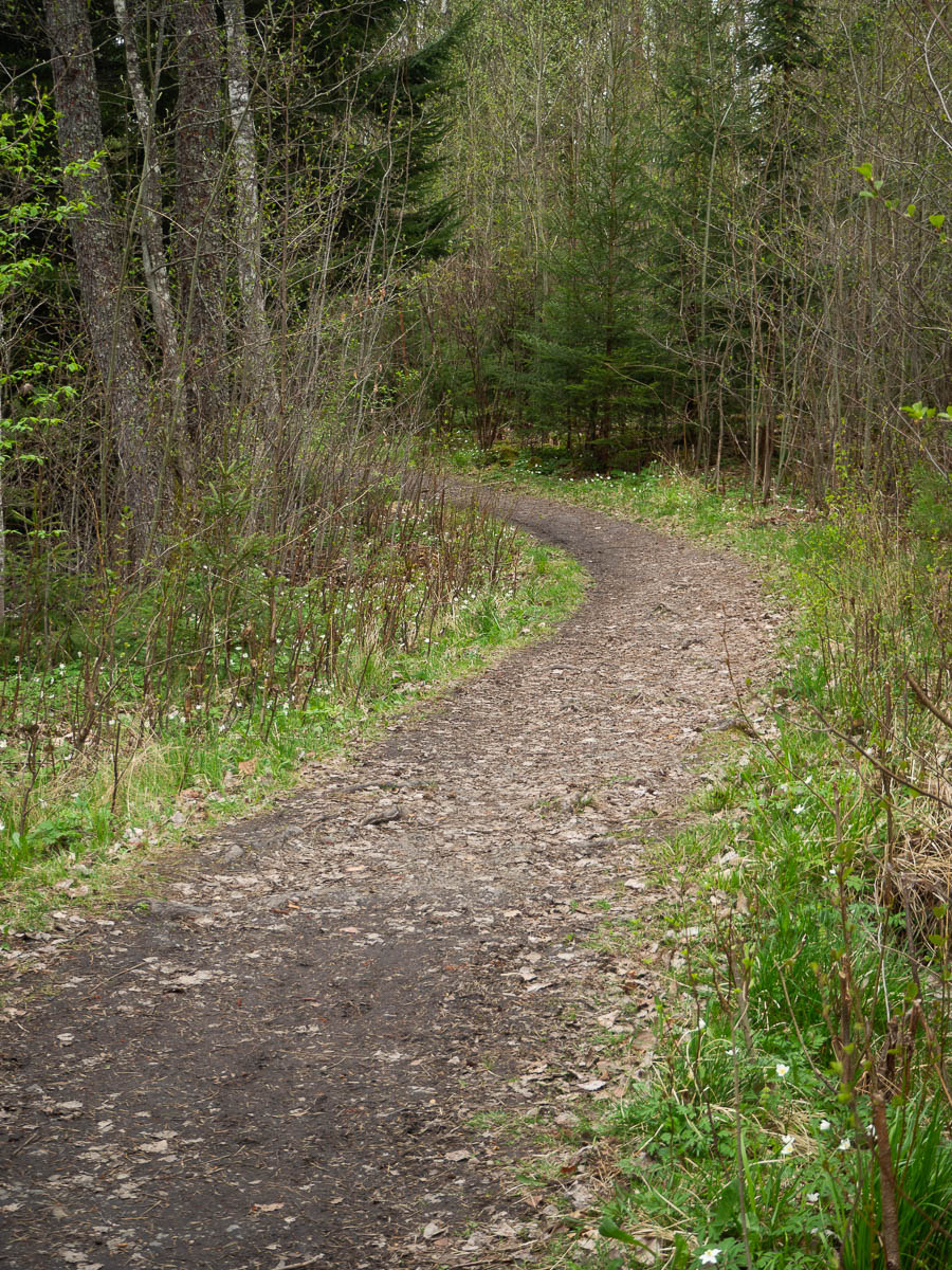
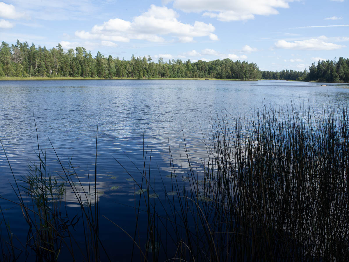
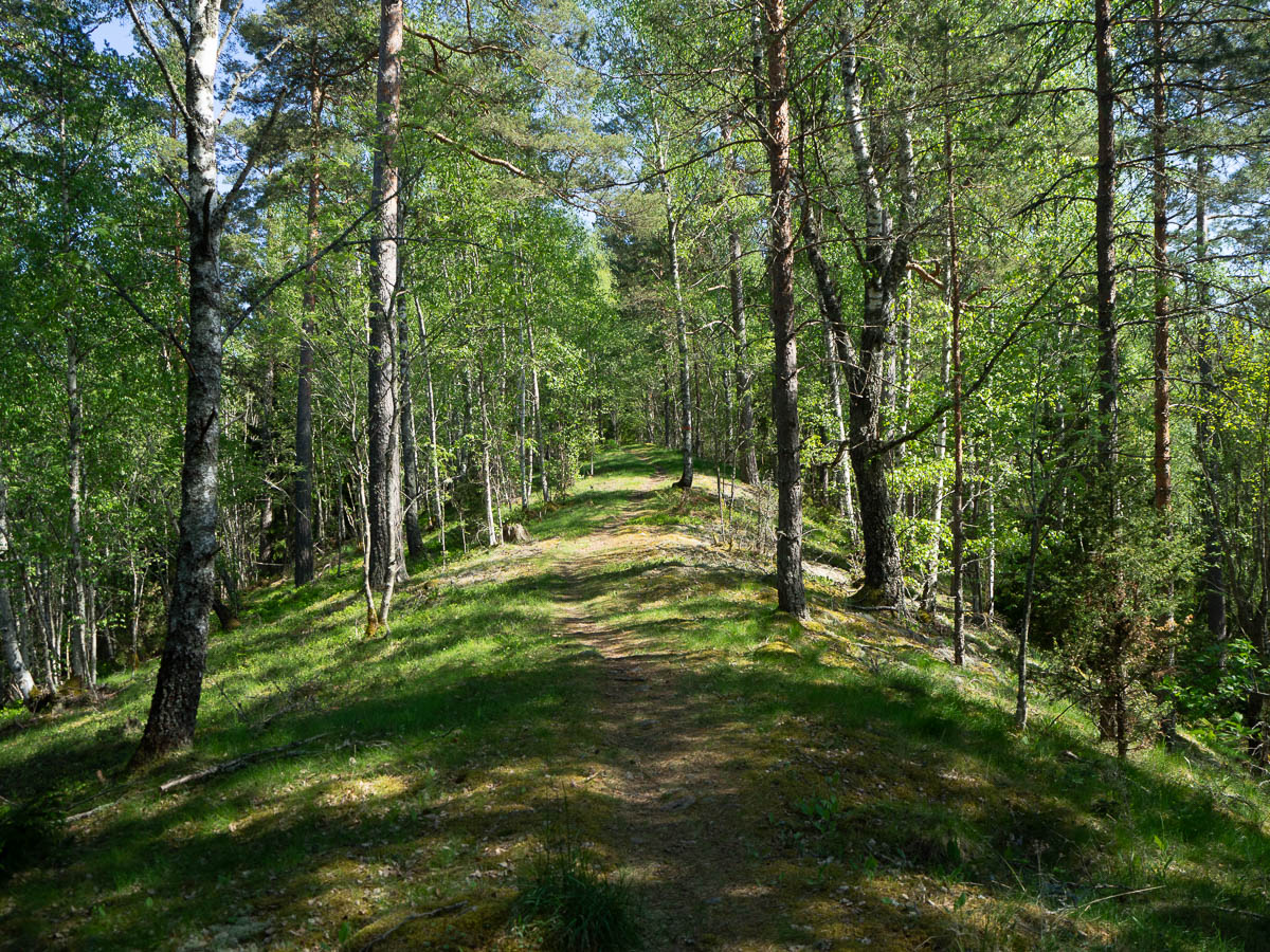
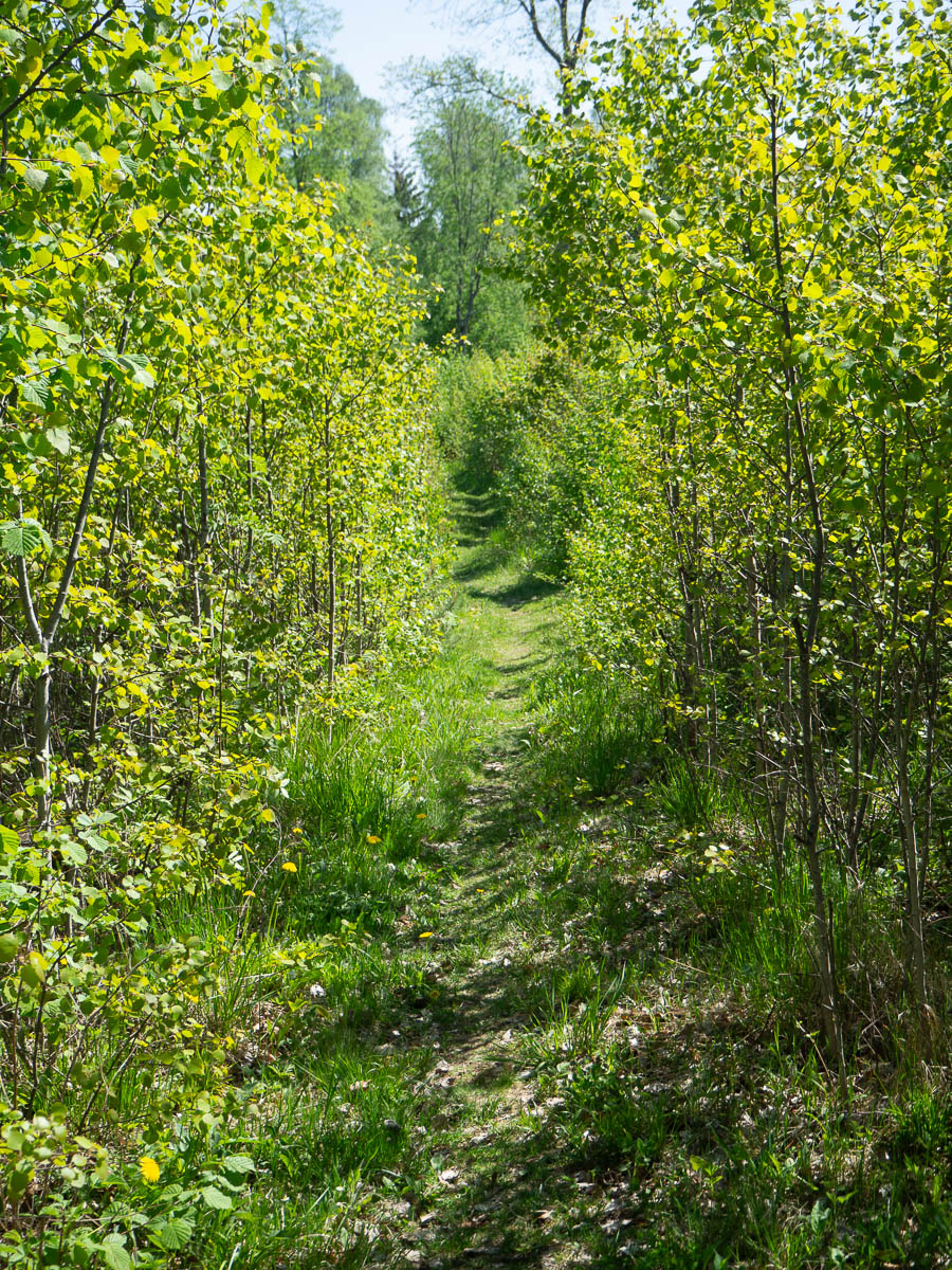
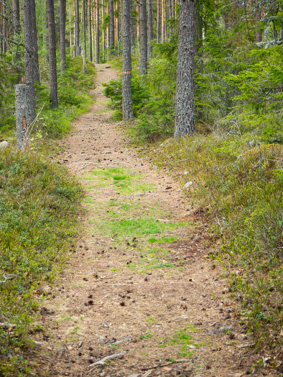
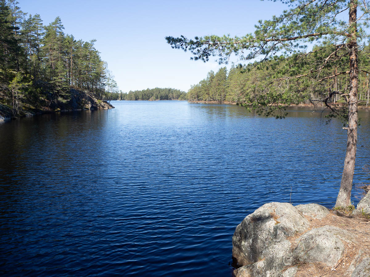
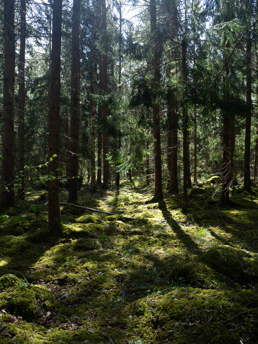
The surroundings got nicer again when the trail got out of Katrineholm.

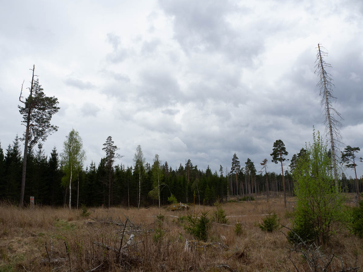
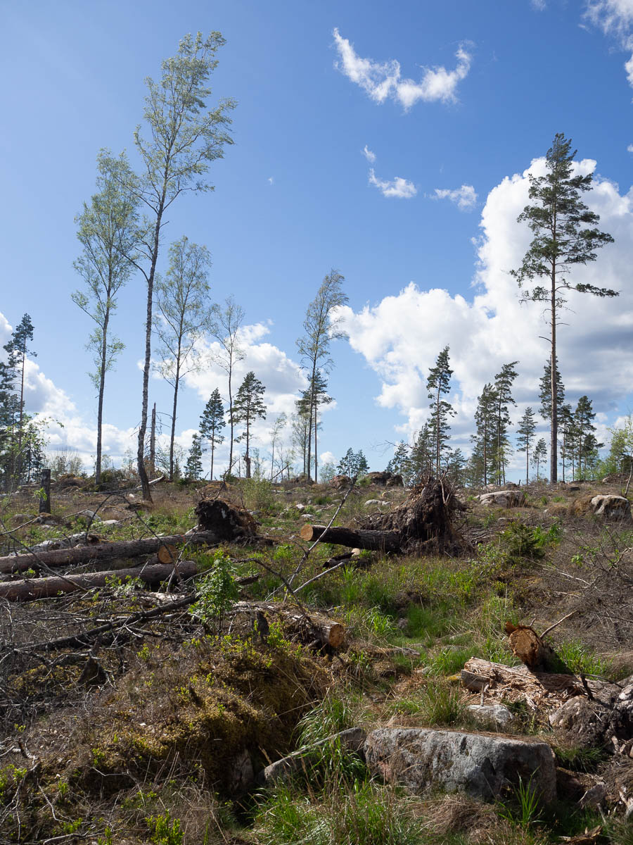
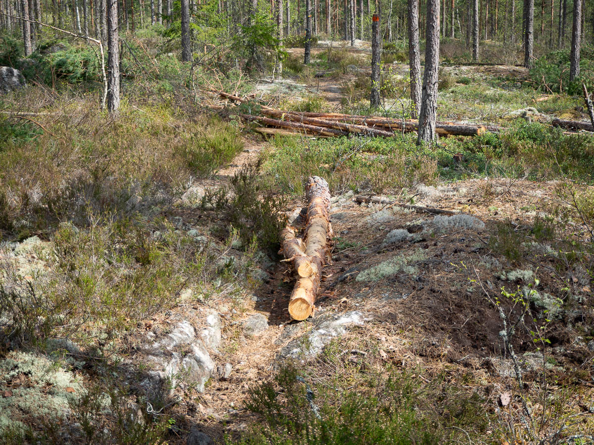
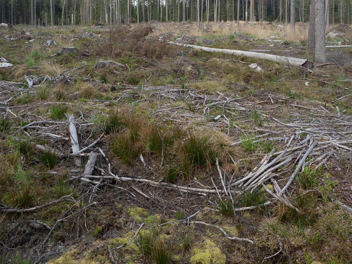
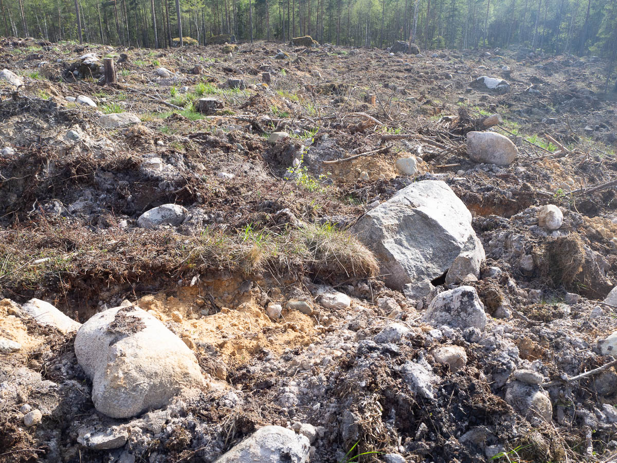
Unfortunately the nice areas kept getting interrupted by the churned-up ground of recently clear-cut terrain.

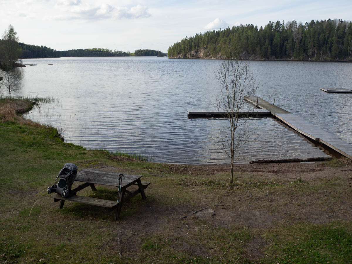
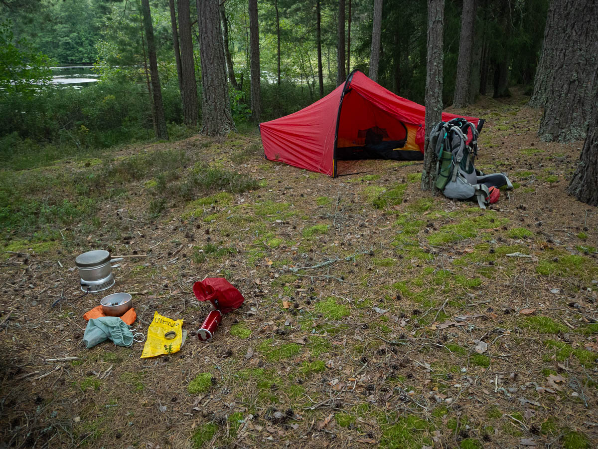
I got back in my groove and just kept walking. When it was about dinnertime, I reached a shelter and decided to stop there for the night. My tracker app showed that I had walked 22 km without really noticing it.

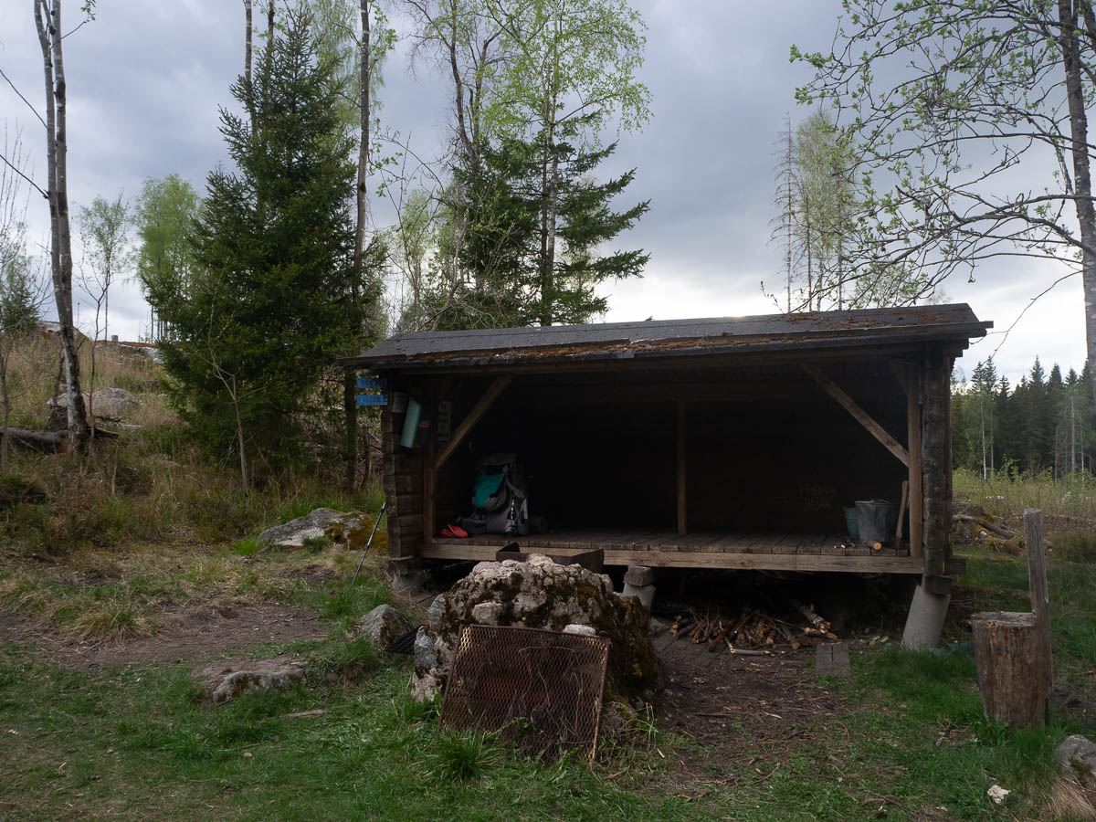
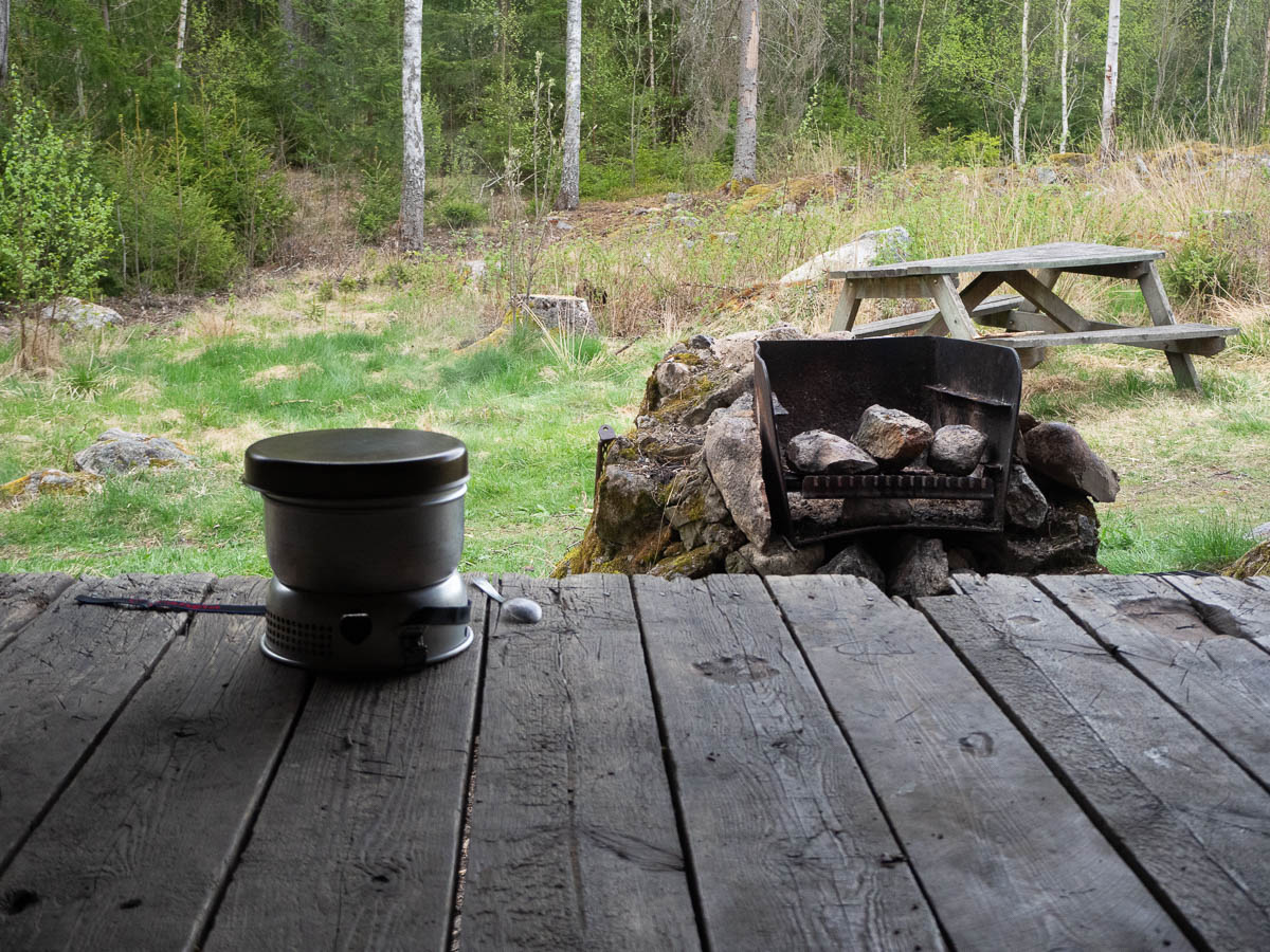
My plan was to set up my tent somewhere roughly in the vicinity of the shelter, just so I could use the picnic table and the outhouse. The cloudy sky made me change my mind. The first drops landed while I was in the middle of cooking dinner, and I ended up moving into the shelter.

Cons of sleeping in a shelter: cold. It wasn’t freezing in the morning, but it also wasn’t far off.

Pros of sleeping in a shelter: lots of space for my stuff, and lots of fresh air. The air in my small tent may be warm, but it can also get stuffy and stinky overnight.

From Svalboviken (ish) in the beginning of stage 24, to Myr-Gryten in the middle of stage 25. 20 km.

Birdsong woke me at five, but with earplugs I could get another hour or two of sleep. I get pretty decent sleep in my tent these days: maybe not a full night of deep sleep, because I wake up every time I want to change position, but I feel rested in the morning.

If the challenge for day 1 is to get my mind into proper hiking mode, then the challenge for day 2 is accepting and overcoming bodily hurts. My muscles are sore. I’ve got bruises on my hips from the rucksack’s hip belt, to the point where it hurts to pull the waistband of my trousers over them. There’s nothing for it other than gritting my teeth and putting the pack on and getting going.

The sky started threatening rain shortly after breakfast. I stopped to take this photo, and a minute later, it was raining. It was a rather pleasant rain, with sparse drops, not the kind of drizzle that gets everywhere. I could even stop to take photos without worrying about the camera.

It’s not always easy to find a suitable place to stop for a snack. This part of Sörmlandsleden mostly goes through rocky forest, and often there’s not enough flat ground next to the path to put down my pack. I like to be able to not just put my pack down, but also sit down myself and stretch my legs.

The trail keeps passing clear-cut areas. They’re so depressing to look at. Churned-up ground, rocks sticking up every which way, trees thrown down criss-cross. It looks like a battleground. Destroyed. I still can’t understand how this can be an acceptable way of doing forestry.

The forest today was less dominated by pine and spruce than yesterday. Deciduous forests in their most beautiful fresh leaf buds, and flowering anemones.

The afternoon was sunny but windy. I stopped in a woodland pasture, thinking I could lie down and read and enjoy the sun for a while. The sun was hot, but the air was cold, and I couldn’t manage to find a way to balance these. So I walked onwards.

I met a slow worm on the path. It was just laying there, looking like a pine root and being equally motionless. I thought that maybe it is named “slow worm” because it is slow, but apparently that is not the case.

It did the tongue-flicking thing that snakes and lizards do in the movies, but I didn’t manage to capture that in a photo.

I’ve been sharing the trail with a young guy who started stage 23 at the same time with me, and has been walking roughly the same distance as me both days. I walked past him during his lunch break; then half an hour later he walked past me on mine.

I’m an asocial hiker. I’m not out there to meet people and share stories. I’d rather not share my camping site with others, if possible. There are only so many places where you can stop for the night, though – even with a tent you do need some flat ground at least. He didn’t have one, as far as I could see, so I could guess where he’d end up for the night, and made sure to stop some ways away from the hut (yesterday) and shelter (today) where he was staying.

Sörmlandsleden. Hälleforsnäs train station to Svalboviken, 18 km.

After a few kilometres skirting the edges of Hälleforsnäs I got to where I left off last time, by the pretty wetlands of Bruksdammen.

From there on it was pretty typical Sörmland. Rocky pine forests, mossy spruce forests, small lakes.

The first day of a hike, I’m usually not all the way present. I can’t help thinking about kilometres and hours, and kilometres per hour. Am I taking too many breaks? Am I walking fast enough? Am I eating enough? It takes time for the mind to switch over to proper hiking mode.

Some awareness of where I am on the map is good, though, and a rough estimate of how fast I walk on average. It’s nice to be able to know that I’ll be reaching a lake in less than an hour, so I can snack on some dried fruit for now and keep walking, and stop for a proper break in a place with a nice view.

Forestry operations were going on near the trail. There was noise of heavy machinery very close to where I walked, even though today is a public holiday. They’d utilized the clear spaces of the trail itself to put down their loads, which I found rather annoying. But I guess it’s very temporary.

When I felt that it was time to stop for the night, I struggled to find a good stopping place. There was this grassy lakeside beach, looked rather nice, but there was a large road right behind me. I carry earplugs (always!) so I’m sure I could have slept here nevertheless, but it just didn’t feel right. I don’t want to start my day with the noise of cars. So I walked onwards.

The last kilometre or two were not fun. I was tired, and more hungry than I realized. If there had been forest around me, I would have found some flattish spot, but instead I walked past large clear-cut areas, and there’s nowhere to put up a tent in this.

I got past them, back into normal forest again, and put up my tent absolutely in the middle of nowhere. No other people, no noise other than night birds. Geese are loud.

All packed for a four-day hike for the long weekend. Rucksack, clothes for tomorrow, water, breakfast rolls, camera, sunglasses.

I don’t enjoy packing or preparing for a trip. It feels like such a chore. Sometimes I end up not going out because the actual getting started takes so much energy. But now I have arranged for my brother to come cat-sit, so I’m officially committed and have to make it happen.

I was originally going to go for Kinnekulleleden, but couldn’t find a train. I don’t know if they’ve really sold out all tickets for tomorrow, or if there’s something else going on, but there was nothing. Instead it’ll be Sörmlandsleden. I’ve now come all the way to Hälleforsnäs, which is reachable by train, and three or four days of hiking from there will take me to Katrineholm, which also has a train station, so for once I can go forward only instead of doing a there-and-back.

Hälleforsnäs to Hagtorp. Yesterday this stage was 16.5 km but today it took me 18.5 to walk.

First I got an extra kilometre by starting walking without checking the updated weather forecast. Yesterday, the forecast promised rain for today, but only from late morning. When I was packed up and ready to go at around 7:40, I saw the clouds but didn’t think that rain would be imminent. It started raining before I had even walked ten minutes. I started thinking about where I could find shelter, but quickly realised that the best and closest shelter was back at the camping site. So I walked back, through the rain. Gained absolutely nothing but getting thoroughly wet.

It rained for almost two hours. Luckily I had my Kindle.

Afterwards the woods were, of course, very very wet. Not so much the ground, because the soil hereabouts drains quickly, but the bushes and grasses can hold on to a lot of water. Walking through wet forest is like I’m trying to use my trousers to wipe dry all the bilberry bushes. The trousers at least dry quickly, but the water also wicks into my socks and boots, and those keep all the water inside. Yes, I could wear waterproof trousers, but I don’t like the way they feel. Unless it’s cold outside, I’d rather be a bit wet.

Today I learned that lingonberry bushes dry out first, with their waxy-leathery leaves. Bilberry bushes come in quick-drying and slow-drying varieties, because some were clearly drier than others. Bog bilberries were the slowest to dry and seemed to actively hold on to drops of water. And heather almost doesn’t get wet to begin with.

There is a locally famous “rocking boulder” a few kilometres in. Why they didn’t seize the obvious opportunity to call it a “rocking rock”, I have no idea.

I went to see it, of course, but to my disappointment, it did not rock at all, no matter how hard I pushed. Either it needs more weight, or it’s gotten jammed.

The rest of the day was pleasant, unexciting walking. More mindfulness, like yesterday. It went easier today, after all my practise.

Here’s me having bread and butter and a boiled egg for lunch. It took a good while to find a spot where I could sit down for a meal – wherever I looked, it was just wet bushes.

In the afternoon there was another surprise burst of rain. And I had again just passed a shelter, so this time I didn’t even hesitate – turned back as soon as I felt the first drop and ran back, and had my second lunch at the shelter instead of the exposed lakeside cliff I had been aiming for. Another extra kilometre gained.

Sörmlandsleden stage 22, from Hagtorp to Hälleforsnäs, 16.5 km.

This stage has been blocking me for weeks and weeks. No way to get there by public transport, of course, and 16.5 is too much for a one-day out-and-back hike. 33 km would take me ten hours at least, plus driving there and back. Not doable. But now I had a whole free weekend, so I can walk one way today and back tomorrow. (I am again reminded that I should look into the car plus bike solution, so I can get these kinds of longer stages done in a single day.)

Hagtorp is barely a place, even: googling for Hagtorp brings up two kinds of hits only. There is the eponymous transport/shipping company, and there is Sörmlandsleden. I’m not sure what shipping activities the company actually does – there are no trucks or anything visible at their site – but they do have plenty of open gravel surface which makes for a great parking lot for hikers.

I had a leisurely start with a proper weekend breakfast and only started driving at 10:30, hoping to be hiking by 12. But there had been some kind of accident on the E4, which caused major traffic jams, and my drive took forever. When I finally got started on the trail, past one o’clock, I was very happy to be let out of the car and have a chance to stretch my legs.

This stage had proper woods and wild nature, unlike the previous one. There was some mixed forest, and a lot of the typical pine and spruce forest with heather and blueberry bushes. And the occasional lake for beautiful views, and the occasional clear-cut area for contrasting ugliness.

I found my thoughts spinning back to the tretton37 drama all the time, and from there to code problems I left behind at Sortera yesterday afternoon, and then on private worries, and then around again. I ended up turning this into an intense mindfulness walk. Whenever I found myself ruminating again, I made myself focus on what was around me.

Sound. On a large scale: silence. Apart from the start and end, this stage was far from noisy roads, and truly very quiet. This time of the year, there’s very little bird sounds, either. But I myself was making noise all the time: there was the crunch of my boots on debris, and the swish of grass against my legs, and the slosh of water in my water bottle.

Sight. I wish I could have looked around while walking, but much of the path was really rough and uneven, with rocks and roots and tussocks, so it took constant concentration. I would have tripped or twisted an ankle quite quickly. But I could pay attention to the rocks themselves, and all the pine cones on the ground, and the various plants and bushes around me.

Smell. Not much. Books sometimes have people walking on “fragrant pine needles” but in reality any needles on the ground are dead and have no scent at all. Perhaps pine trees in other parts of the world are different, who knows.

Touch. One the one hand, plenty to experience, but on the other hand, most of what I can feel while hiking tends towards the unpleasant. The pressure of the pack on my hips. A wrinkle in my t-shirt under the straps of the pack. The sharp scratch of a juniper bush. But I liked catching the seed heads of tall grasses and letting them slip through my fingers.

Taste. It’s berry season! Lingonberries and bilberries and bog bilberries are all ripe and plentiful. I was extra happy when I found bog bilberries, not only because I like their flavour but also because the bushes are taller and the berries thus easier to pick without bending down (which can be awkward with a heavy pack).

Most lingonberries were mostly ripe, and some were all the way ripe, but I’d say they needed another week or so to reach perfection. Which didn’t stop me from eating them, of course.

Bog bilberries look less appealing. The bushes are sparse and have an air of scragglyness. The berries hang singly or by twos at most, and the colour is muted, so they look underwhelming on the whole. It takes effort to make them look good in a photo.


Bilberries I don’t care much about at all, while I’m out walking. They’re good in pies and muffins and yoghurt and all that, but on their own, they’re too bland for my taste.

Due to my late start, and my slow pace because of the uneven path, I was worried about getting to the end at a reasonable hour. It was seven in the evening by the time I reached the camping area. I had been keeping my eyes open for the last kilometre or two of walking, for alternative camping spots in case the end of the stage was underwhelming (because the other end was literally a gravel parking lot!) but the area around Bruksdammen was beautiful. I put off all thoughts about cooking dinner and getting my tent set up, and instead admired and photographed the area. It was a wetland area with pink water-lilies in deep dark ponds.


Then there was dinner, after which I read for a while, but then went to bed at ten o’clock already, quite tired. The night was very windy – I half-woke a few times and thought at first that it was rain I heard, but it was just the wind being very loud.


It’s “health week” at tretton37, which includes both a step challenge and group activities, one of which is a hike of the first stage of Sörmlandsleden (which gave us plenty of steps for the step challenge).


The leader of our group had prepared and packed a picnic dinner for us all, which we ate on a pleasantly secluded little cliff shelf by Sandasjön lake.


On our way out we spotted a sleepy slowworm on the gravel road. The first one I’ve seen in many years.

Stage 21 of Sörmlandsleden, there and back again, 21 km in total.

Much of this section of the Sörmlandsleden follows a ridge (or an esker if you want to be technical about it) through a narrow strip of woodland. Easy walking, but not particularly interesting, after the first novelty wears off.

Not much in terms of views, either.

Unlike stages 19 and 20, this one never let me forget that civilization is just around the corner. There was a large road parallel to the trail (or the other way round, I guess) that I could always hear and sometimes see, and smaller roads even closer.

Some spots here probably look quite spectacular when the lilies of the valley are in bloom.

All in all this was more exercise than a nature experience, and while it was an OK walk, it’s not a stage I see myself revisiting.

Back the way I came yesterday, from Henaredalen to Ånhammar, 13 km.

The paw print yesterday may have been wolf or dog, but the droppings I spotted are most definitely from a wolf, because they’re mostly made up of the hair of whatever animal the wolf ate.

I also met a hiker on the trail who was here specifically because he had seen a wolf here a year earlier and was hoping for a repeat. But I never saw anything more than the droppings.

Unsurprisingly today was similar to yesterday.

As a bonus I already knew the best spots for taking a break.

In no rush to get back early, I took a longer break towards the end of the trail, on what I guessed was a bird-watching bench next to a large lake, where I had the company of geese and ducks and herons.


The cows in the oak pasture were at the near end of the pasture today, and seemed quite curious about me. I didn’t mind the curious cows or the calves, but they were accompanied by one or two bulls of impressive size, and I felt rather more cautious about them, so I hightailed it out of there.


Sörmlandsleden stage 19 + a little bit of stage 20, 14.5 km. From Ånhammar to Henaredalen in the middle of nowhere.

Stage 19 on its own is officially 12 km, which is a bit too short to make a full day, but also a bit too much for a there-and-back in a single day. Rather than pressing myself, I’m doing it over two days, and I added on an extra ramble around Henaredalen for this afternoon.

This was a beautiful and varied hike, going a flowering lakeside marsh…

… through oak pastures…

… and heathery bogs…

… to rocky pine forests dotted with little rocky lakes.

I’m glad I didn’t try to do the 12 + 12 km in a single day because this was not the easiest stage to walk. It wasn’t so much the ups and downs that made it hard, but the uneven path. Rocks and roots everywhere, and muddy patches.

In the middle there was a ten-metre natural arch, all one unbroken piece of rock.

Another interesting sight was a very large paw print in the mud. Either a really large dog that somehow avoided all the other muddy spots on the path, or an actual wolf. I’ve heard from other hikers that there are several established wolf territories in this part of Sörmland, so that’s not entirely far-fetched.

In other news, it turns out that walking around with egg whites in your rucksack will slowly whisk those egg whites into a soft foamy fluff. And if you then dump those egg whites into your hot instant noodles, they solidify into little foamy islands, sort of like sugarless îles flottantes.

Speaking of food, I wasn’t expecting to find anything edible in the forest at this time of the year, but I was wrong – some of last year’s lingonberries were still there and waiting to be eaten. Frozen and then thawed, and partially sun-dried, they were wrinkly but juicy, tart and sweet. Few and far between, and hard to spot, not like fresh ones where you can stop anywhere and eat your fill.

The forest was full of bilberry and lingonberry bushes, so later in the season there will be lots to eat here. Right now the bilberries taunted me with their berry-like flowers.

Henaredalen is a river valley that I walked in 2018 and wasn’t too impressed by. That was also in May, but this year, spring has come a lot further and the valley is more full of flowers. Much of the ground was covered by wood anemones.

In between there were marsh marigolds…

… and a pretty purplish-red flower that I later identified as some kind of Lathyrus (possibly gökärt, seahernes).

One big change from my last visit was the large number of fallen spruces. There was a sign explaining that the area is badly affected by the spruce bark beetle, and there’s a risk of spruces falling without warning. It looked to be at least a year old, and clearly plenty of trees had toppled since then.

Of wildlife, apart from the possible wolf print: butterflies of all sizes and colours. Birds, especially geese in that marshy lake, blackbirds in the deciduous forests and cuckoos in the pine forests.

Of other hikers, very few. For a while it looked like I would get the camping site all to myself, but just as I was making dinner, a couple turned up. We talked about other hiking trails in this general part of Sweden, and about the tricky logistics of hiking these hard-to-reach parts of Sörmlandsleden. They did it with a car + bicycle combo.