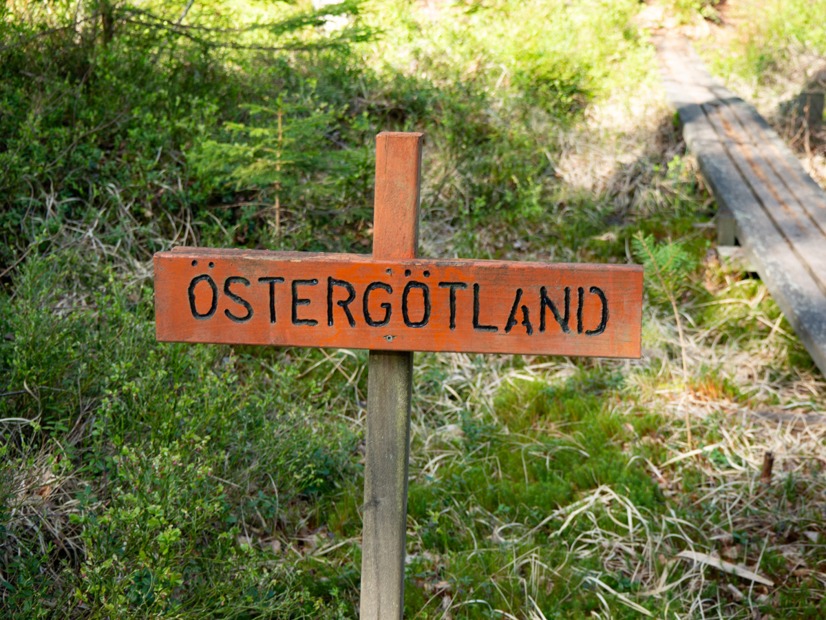
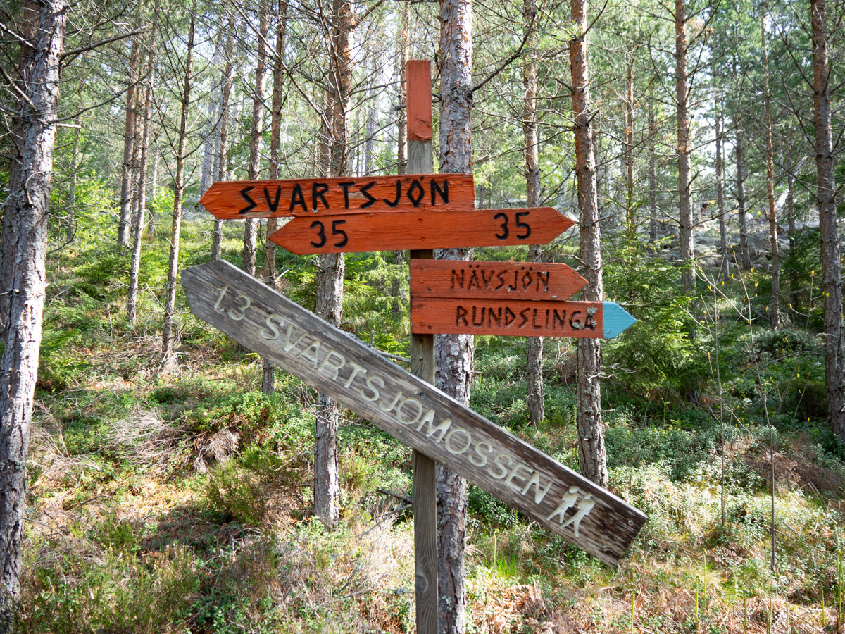
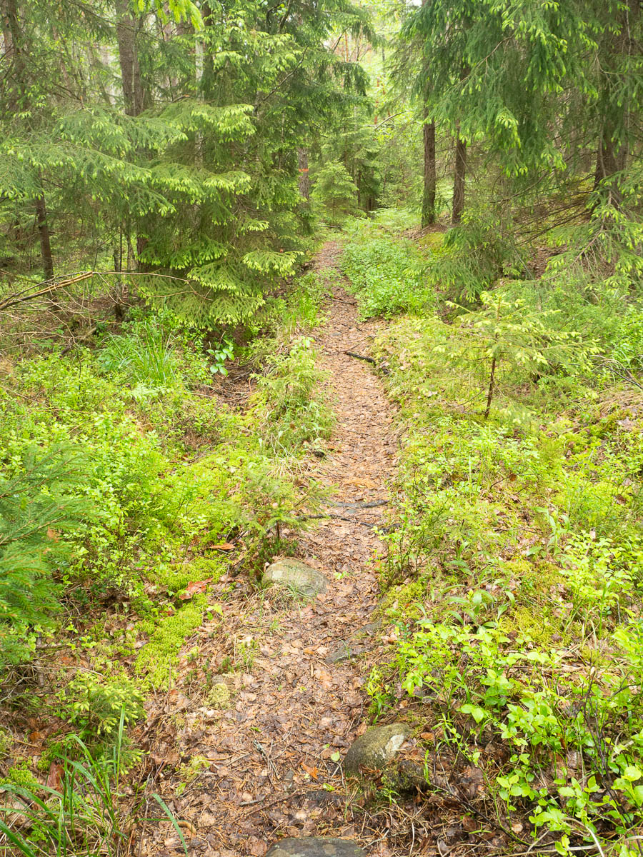
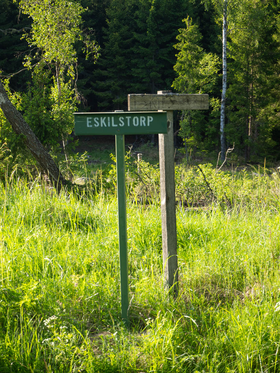
Sörmlandsleden from Kolmården to Katrineholm. Today: Fagerö to Forssjö, stages 29, 28 and 27, for a total of 26 km.
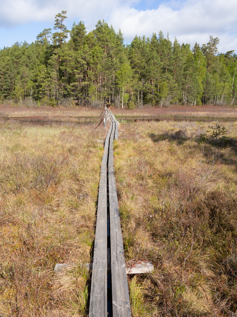
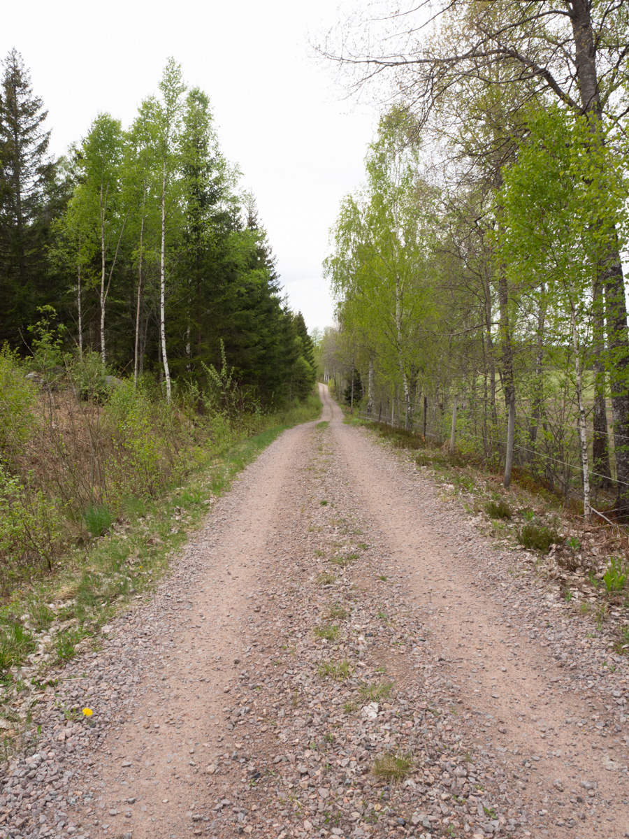
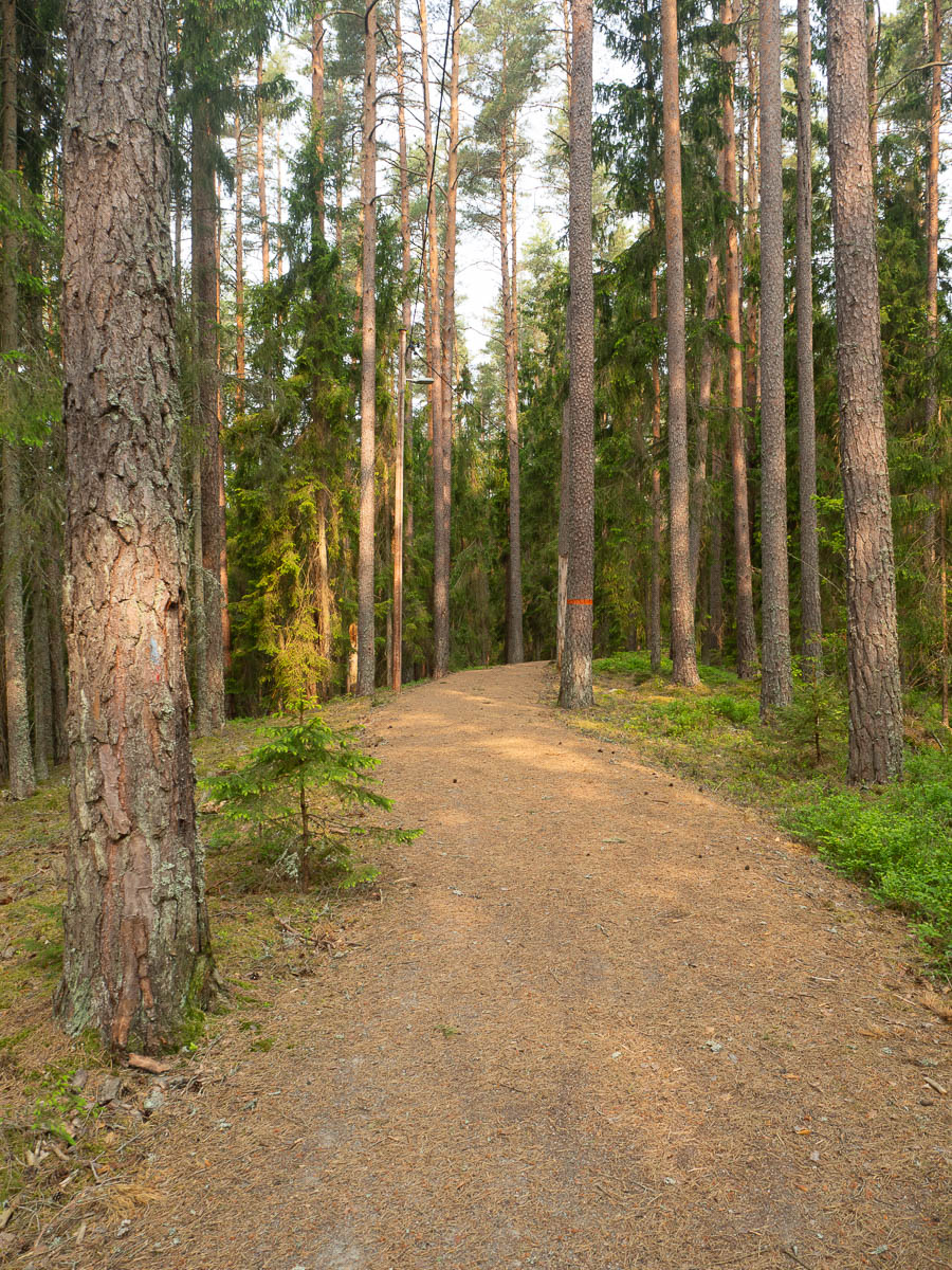
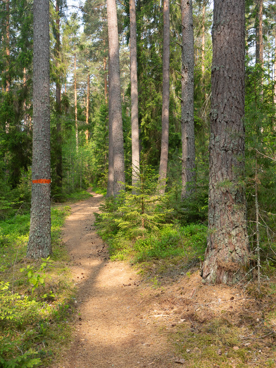
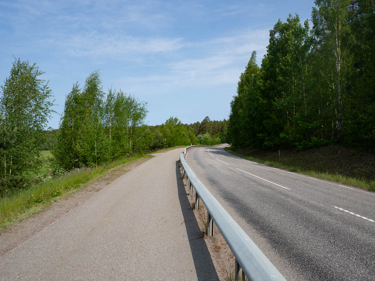
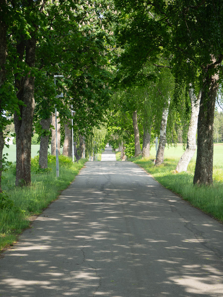
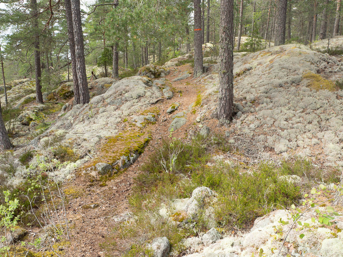
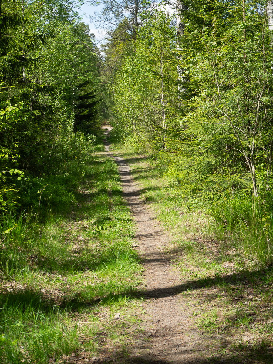
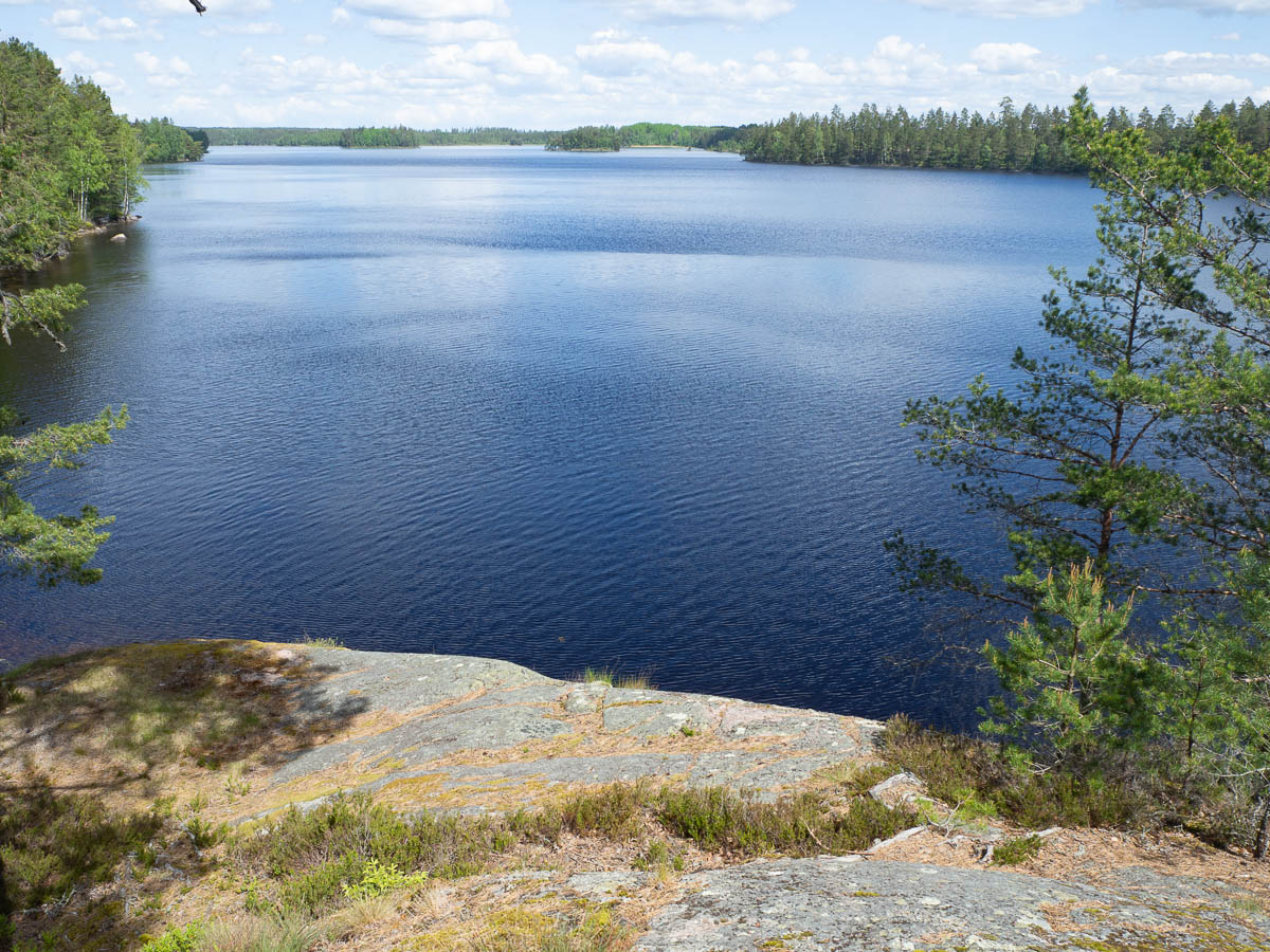
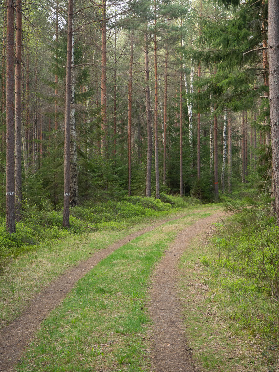
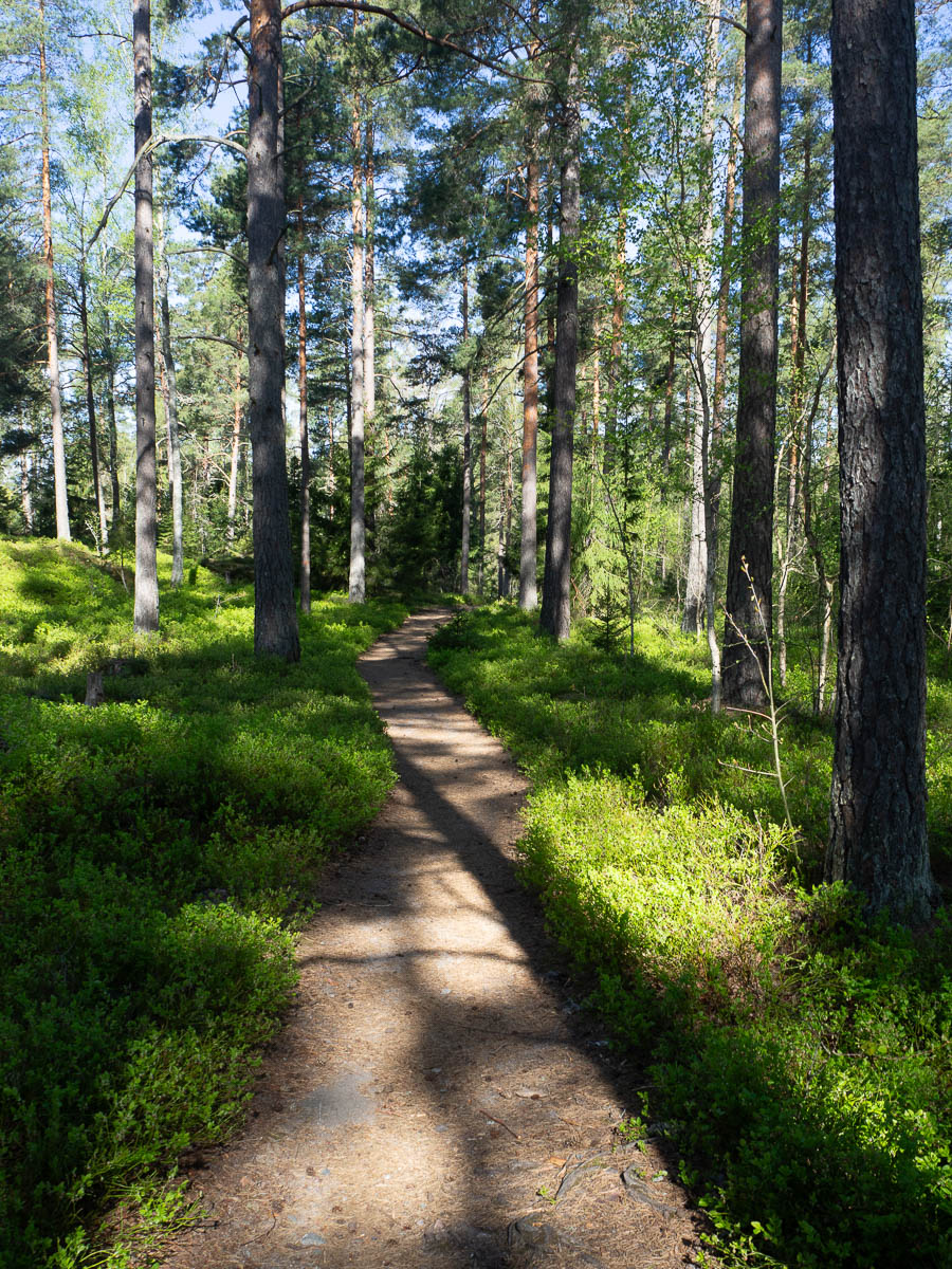
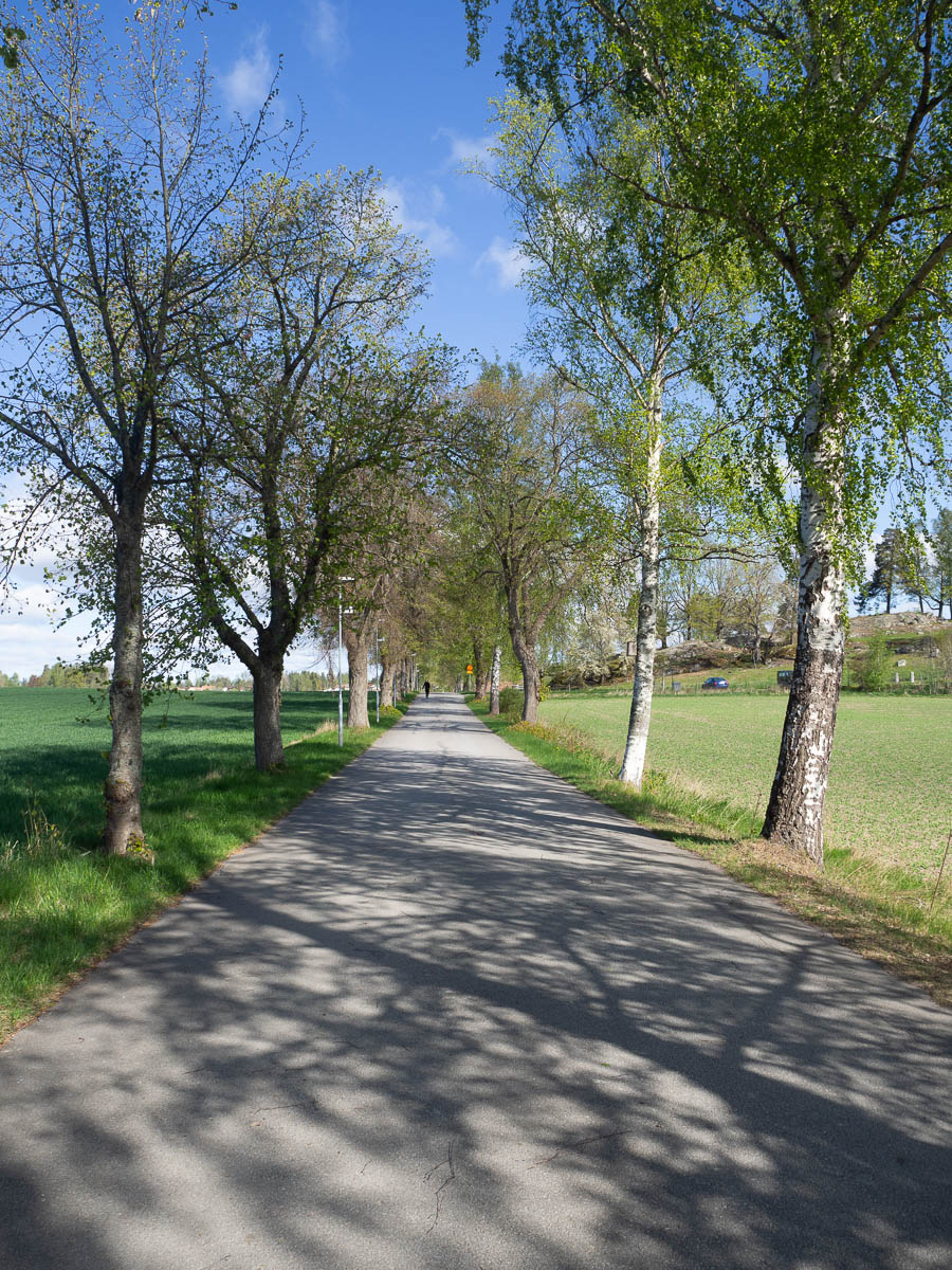
Leaving the wilder parts of Sörmland behind me and getting closer to more inhabited areas around Katrineholm. The past two days I’ve seen maybe two or three people each day, but today I met several. Around me there were roads and farmland, and not just forest.
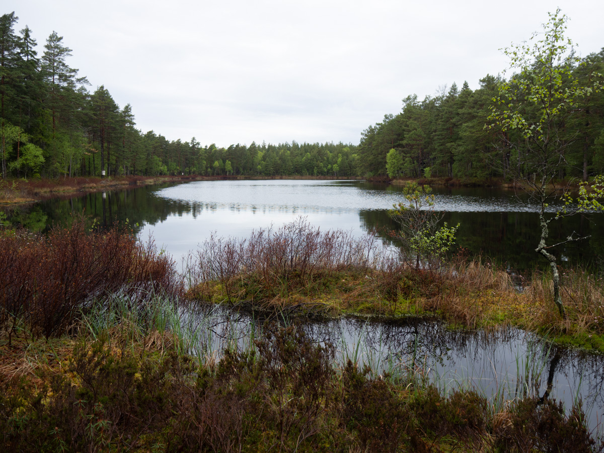
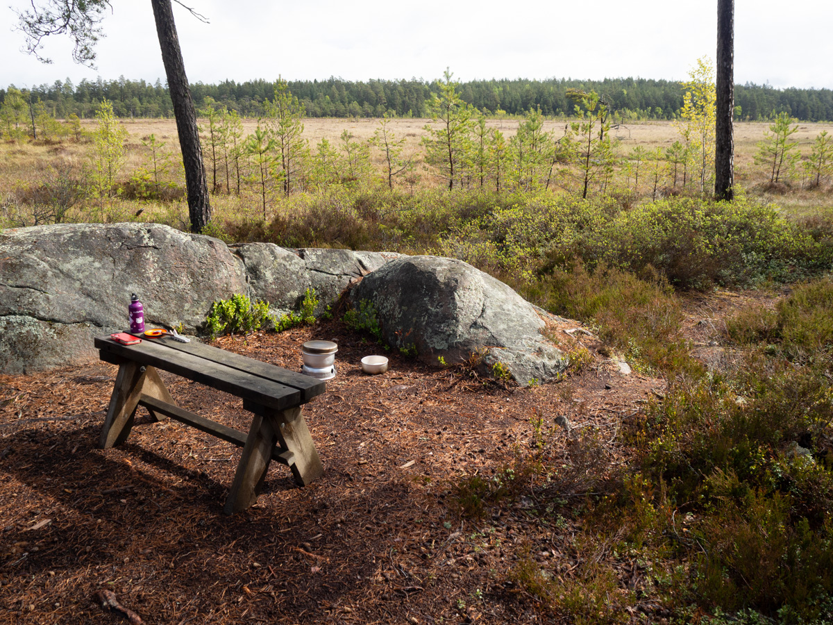
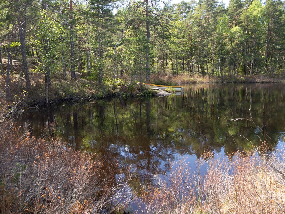
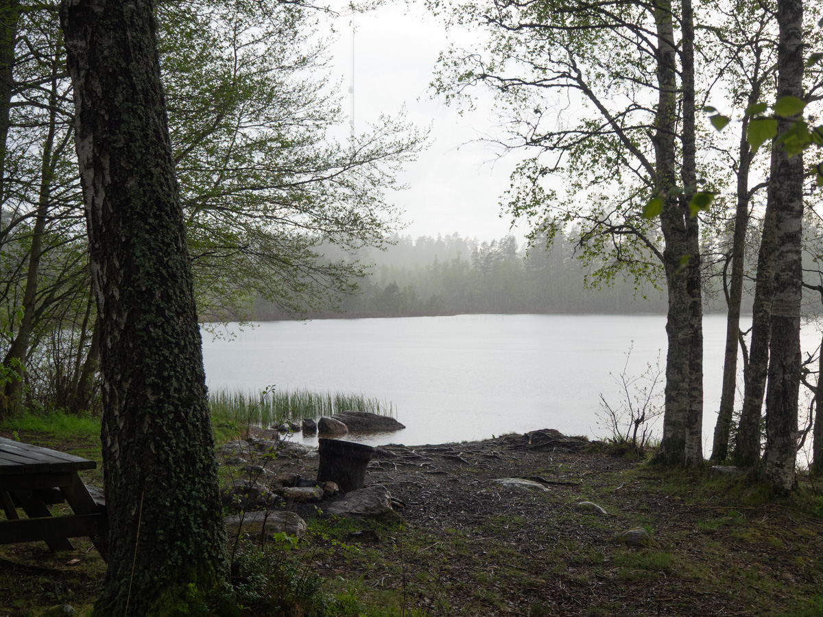
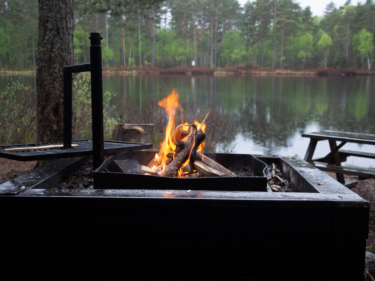
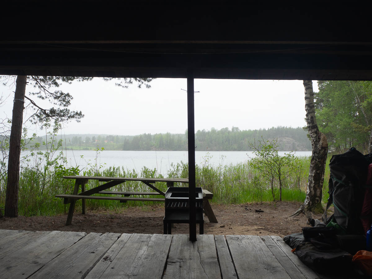
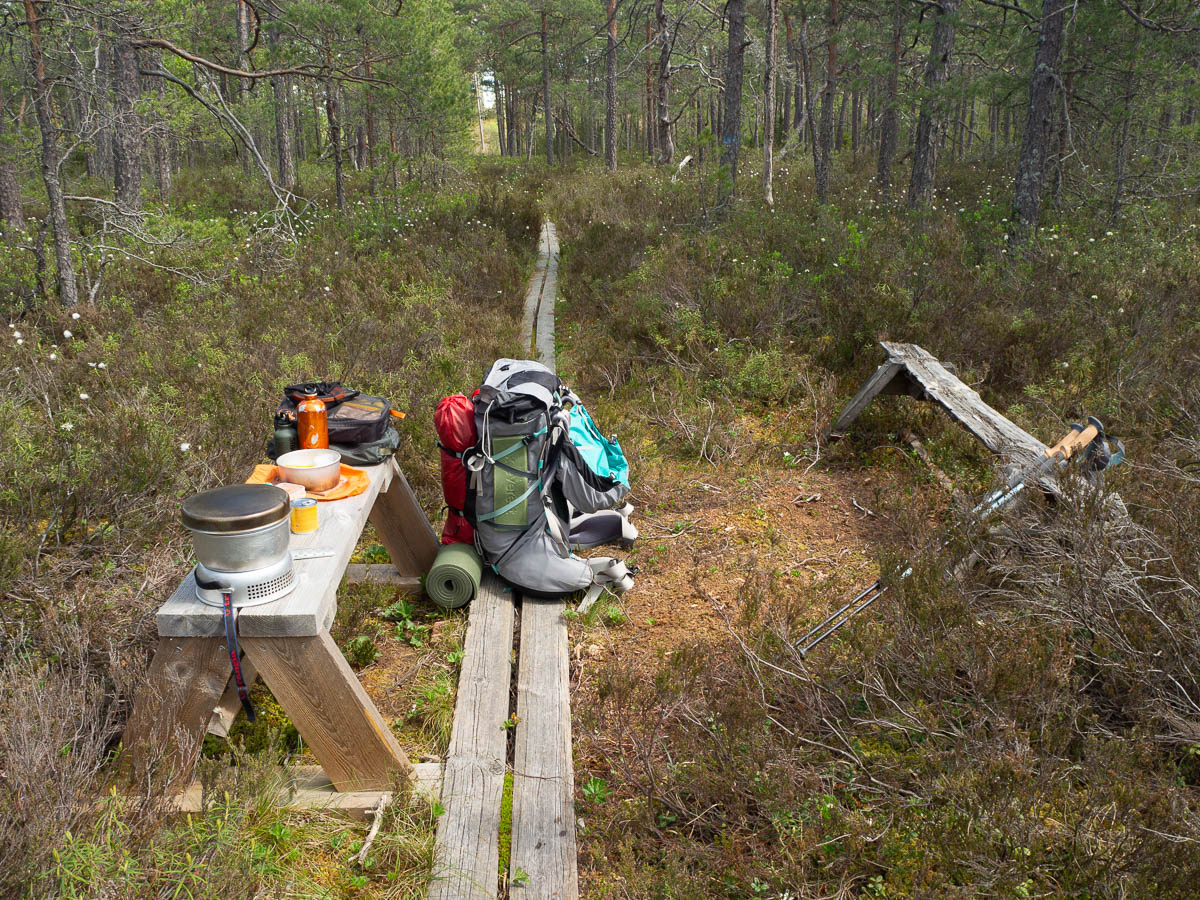
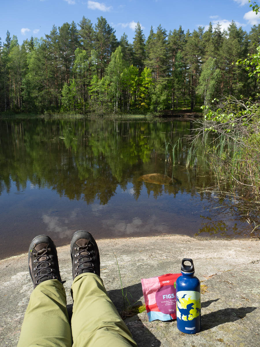
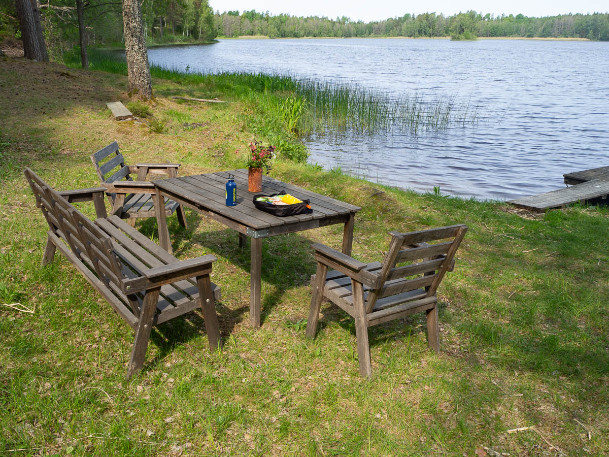
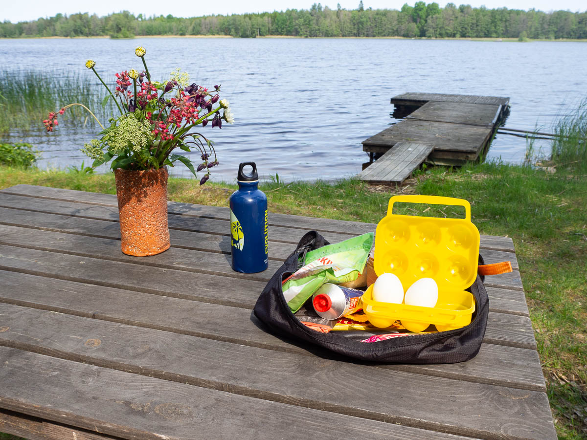
Right next to the small road that the trail was following, where it passed close to a lake, some kind local person had set up a picnic area. There were even fresh cut flowers in a vase. My snack breaks are not usually as pretty as this. It was quite windy, though, so I walked on.
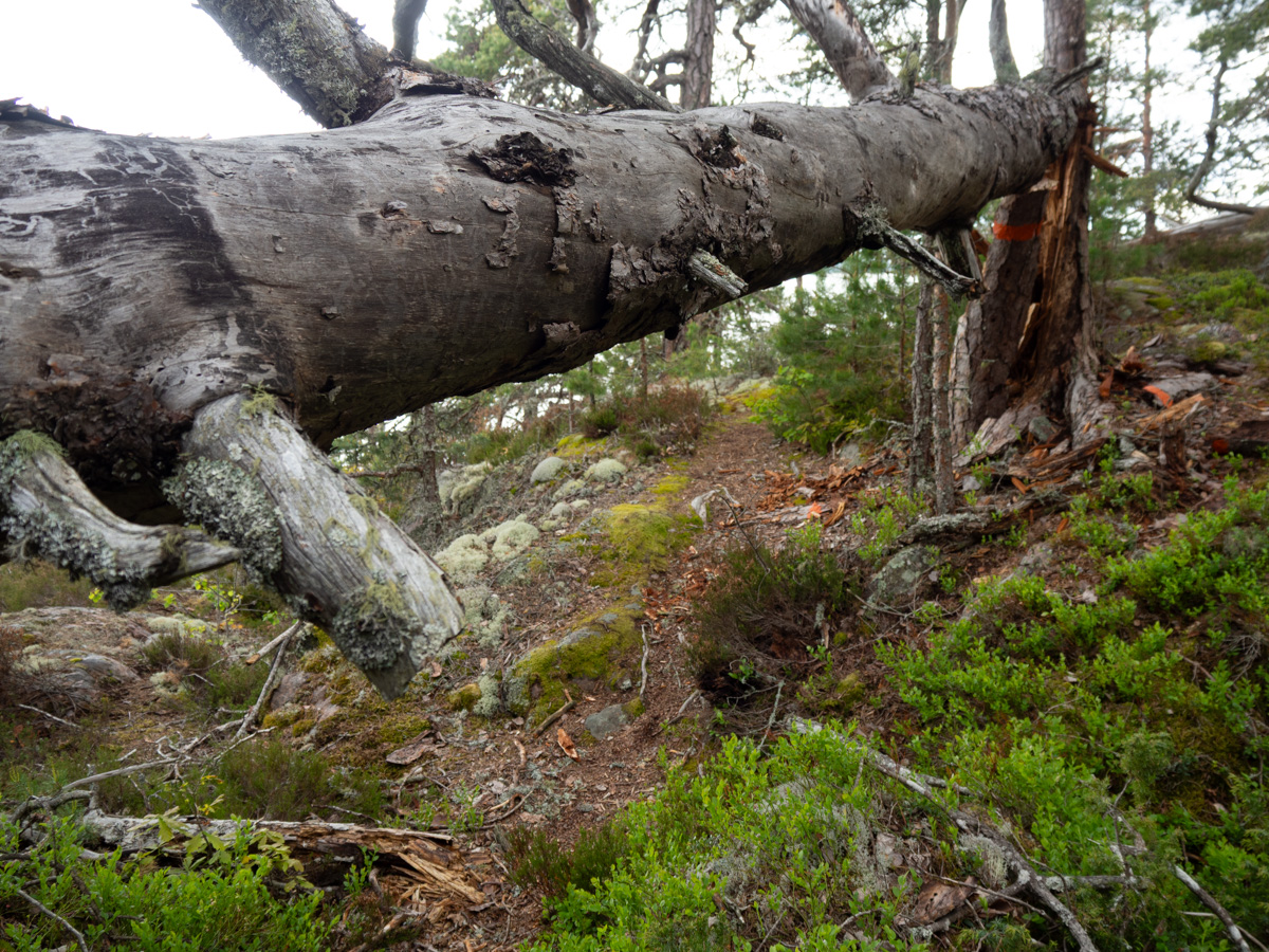
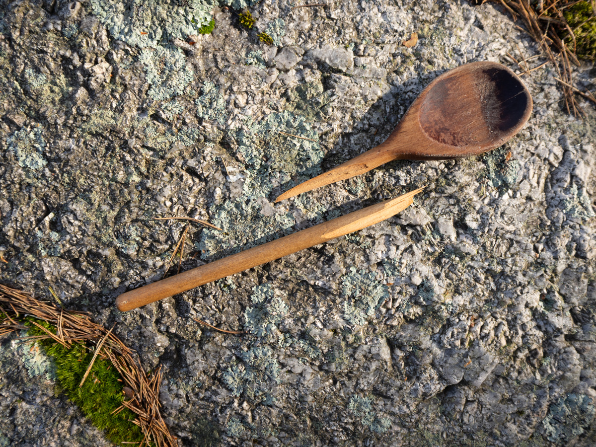
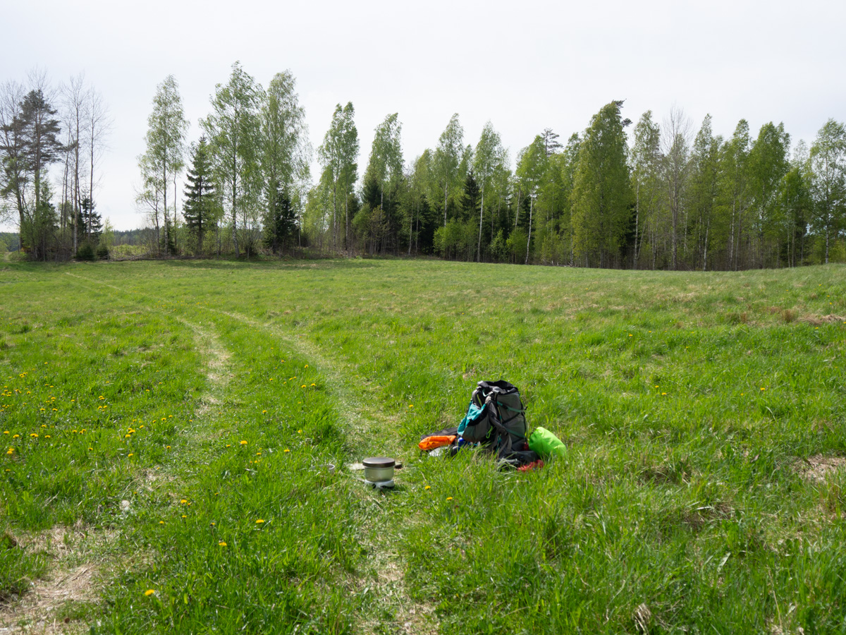
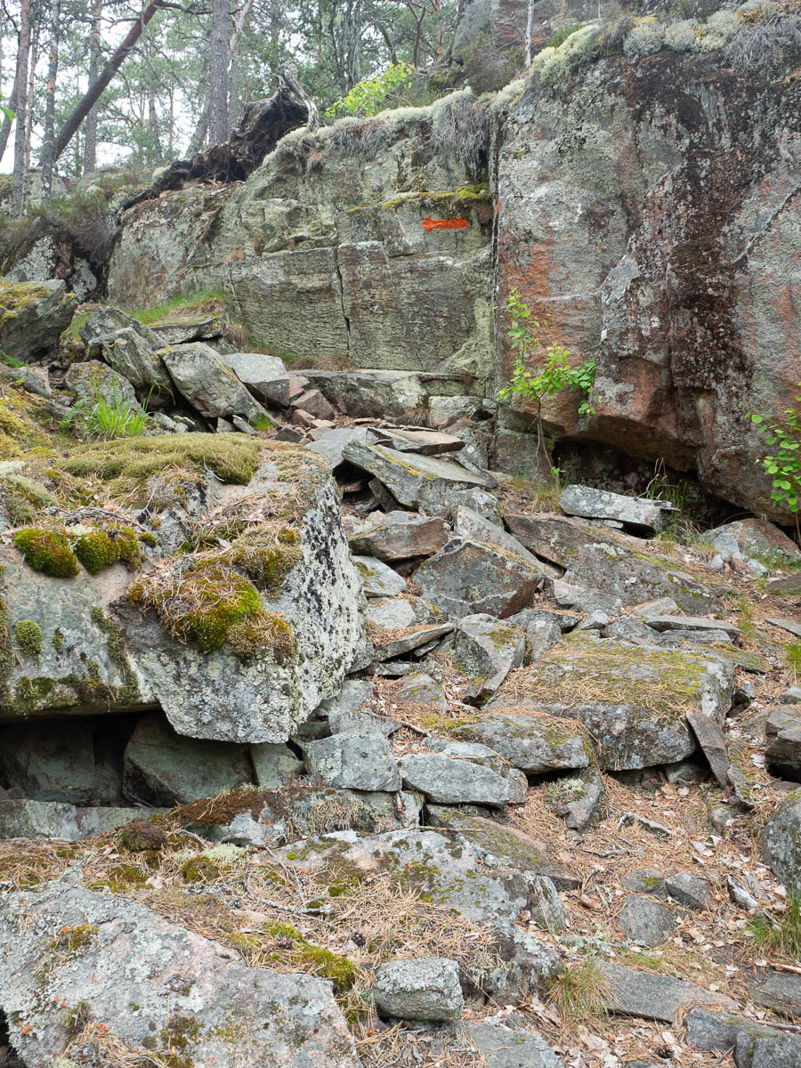
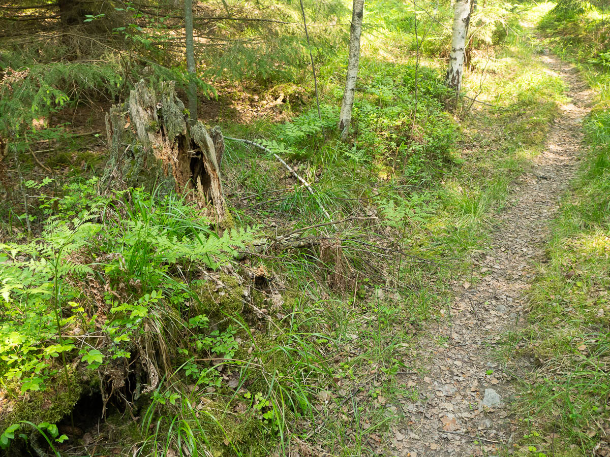
Speaking of stopping for meals, and my troubles finding places for it due to rocks and roots and tree stumps, it was suggested to me that I could just sit on the tree stumps. Like, clearly I am an idiot who cannot see what is in front of me, and clearly that person with their very urban habits, who hasn’t been in a forest in decades, knows much better than me how I should be behaving outdoors.
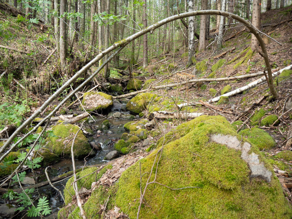
For the record, tree stumps in the wild are not like those in your garden or in a picnic area. They do not look like tree stumps do in picture books, or in stock photos. They are not dry, flat, even, and just wide enough for your bottom. This is what a real-life tree stump in the forest can look like: jagged, uneven, half-rotten. Or they can be a hands-breadth across, so you could at best fit half of one of your buttocks on them. Either way, not something you want to sit on.
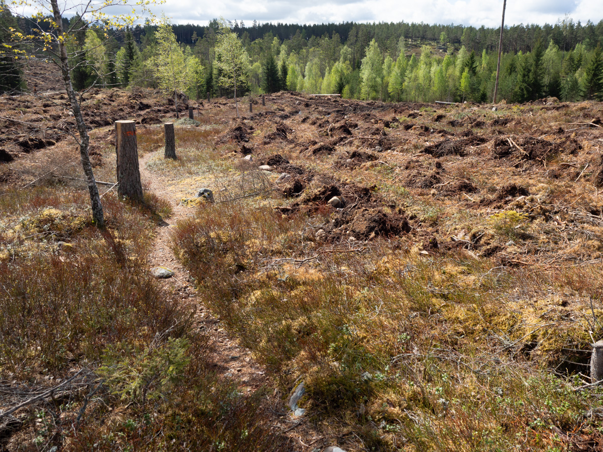
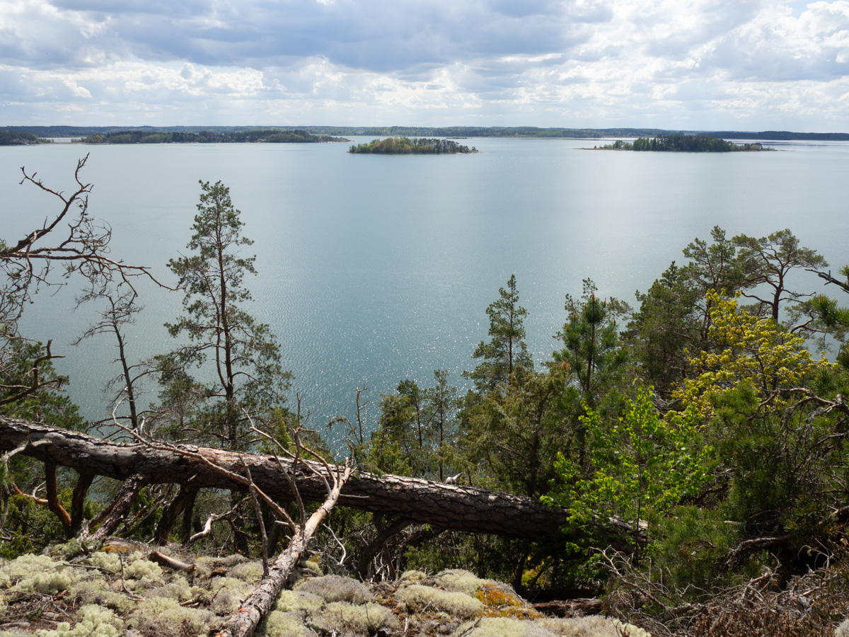
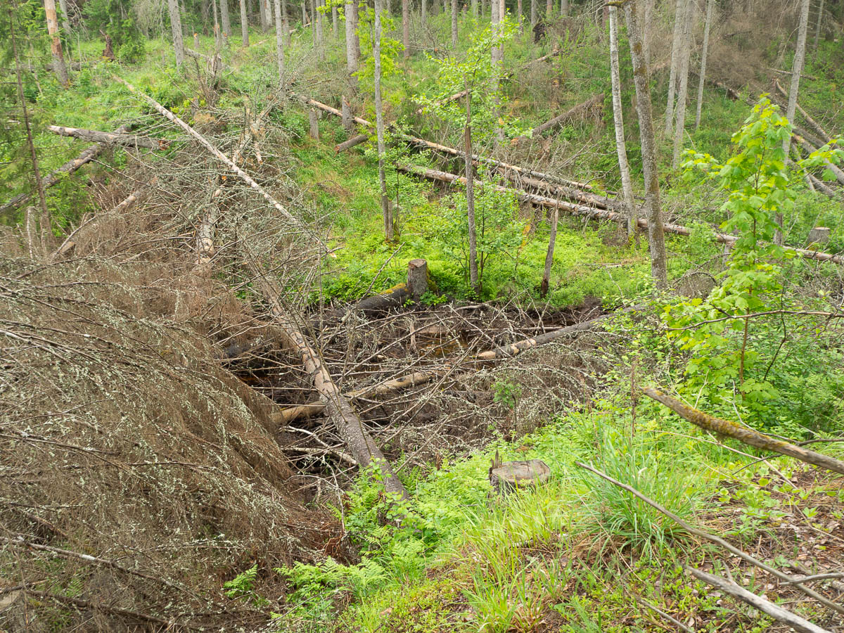
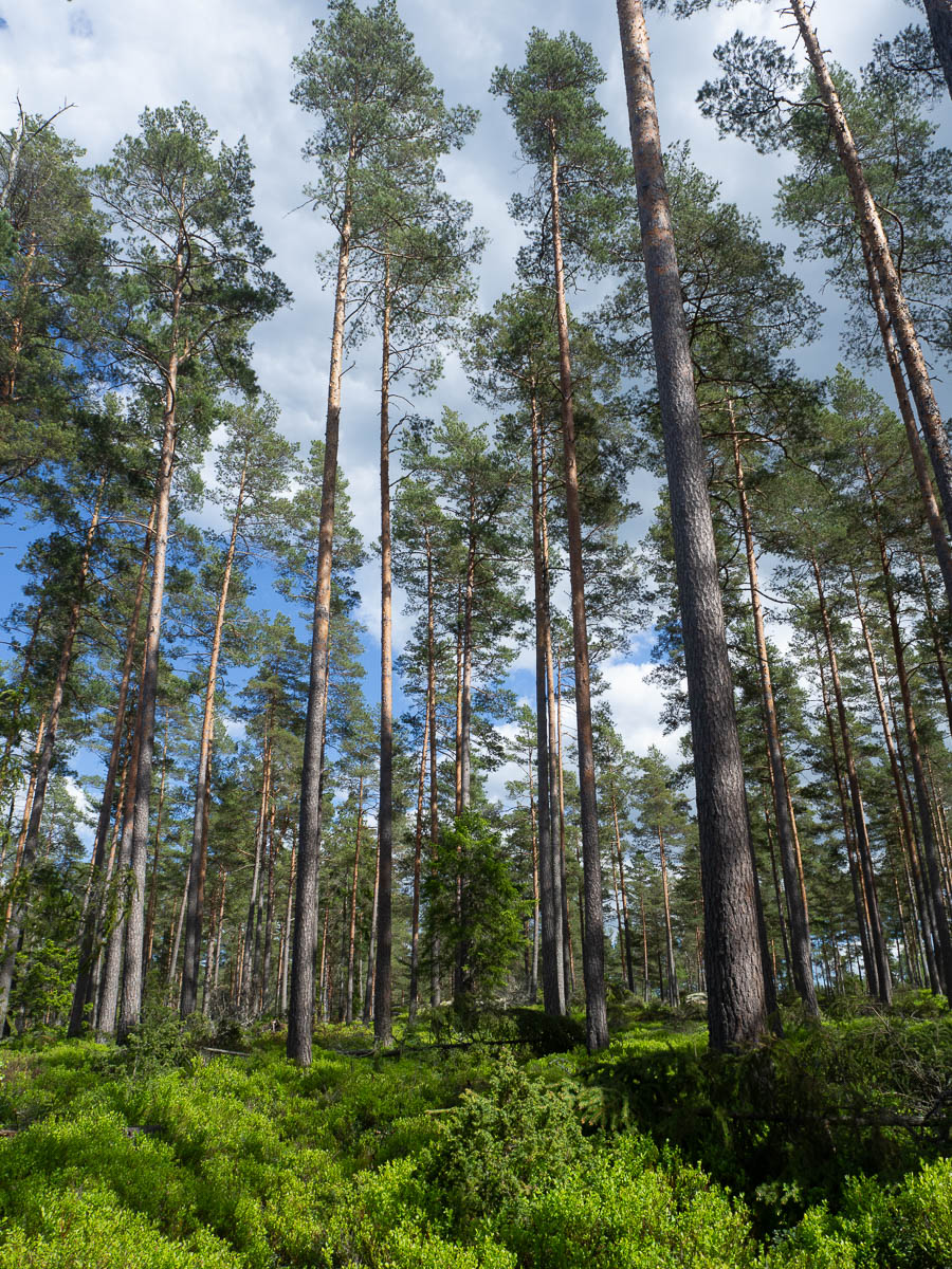
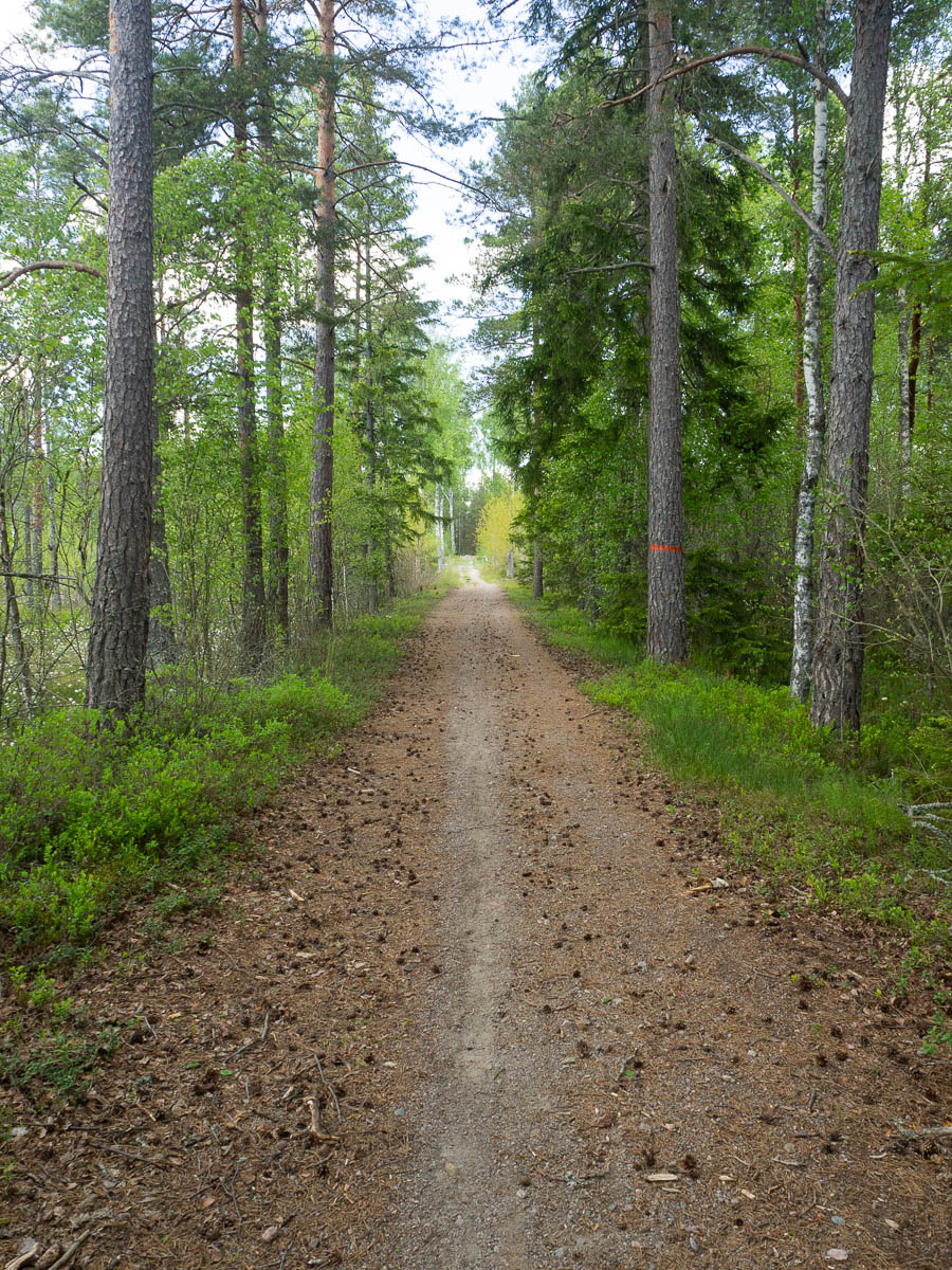
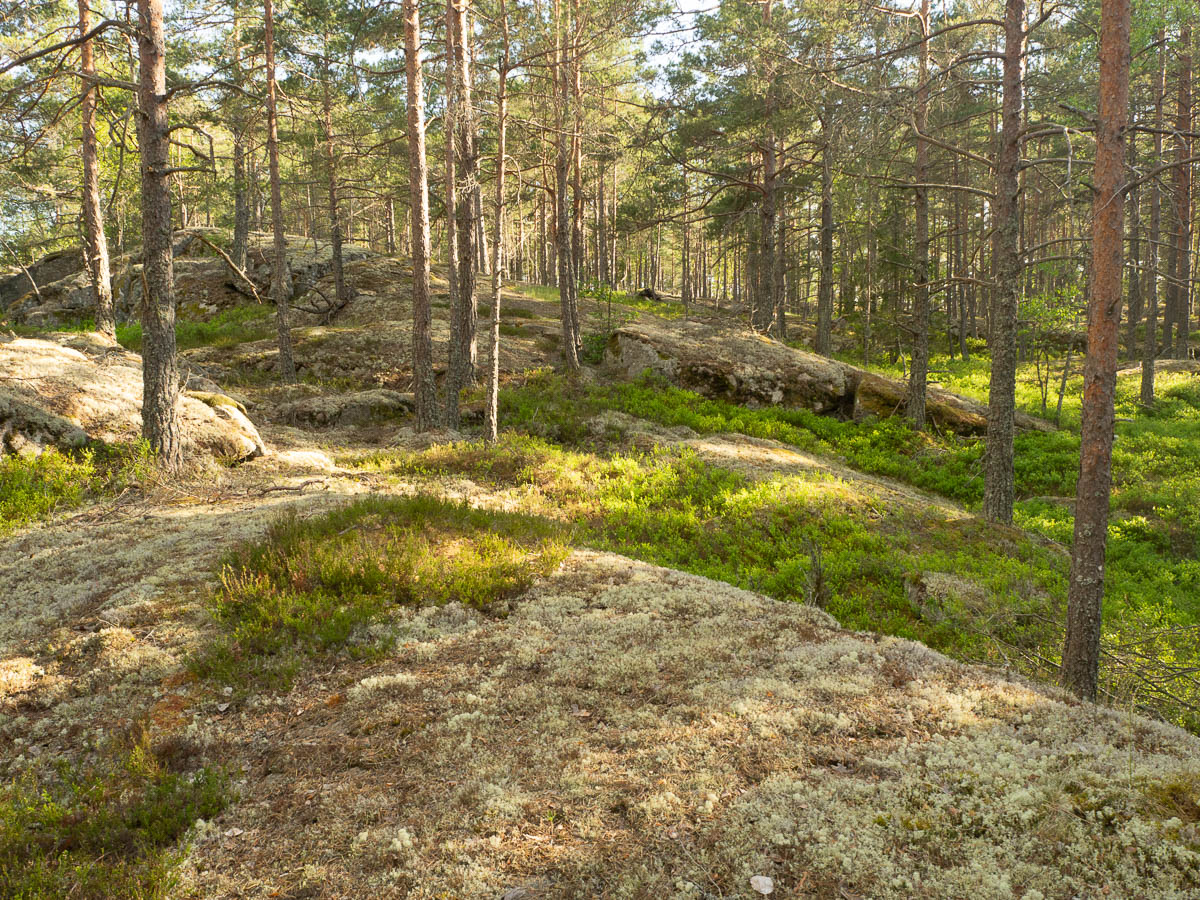
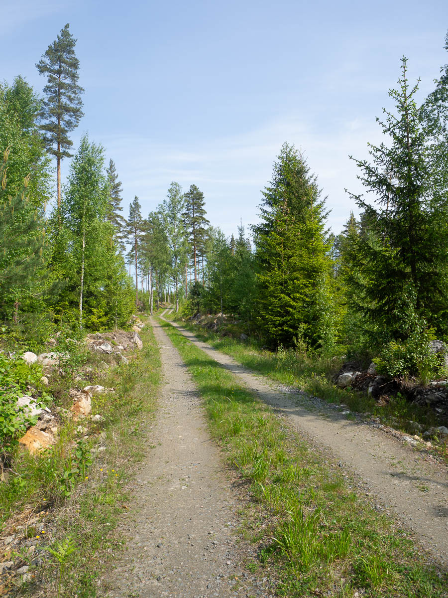
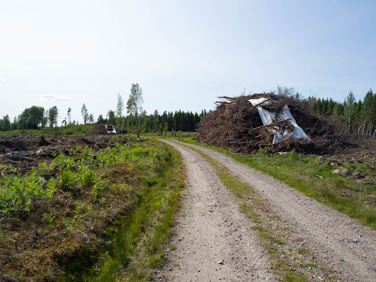
The closer I got to Katrineholm, the more clear-cut areas there were, just like on my previous hike when I approached Katrineholm from the other side. Is it an accident of timing, all the forests here reaching harvestable maturity at the same time, or something else? Unpleasant, in any case.
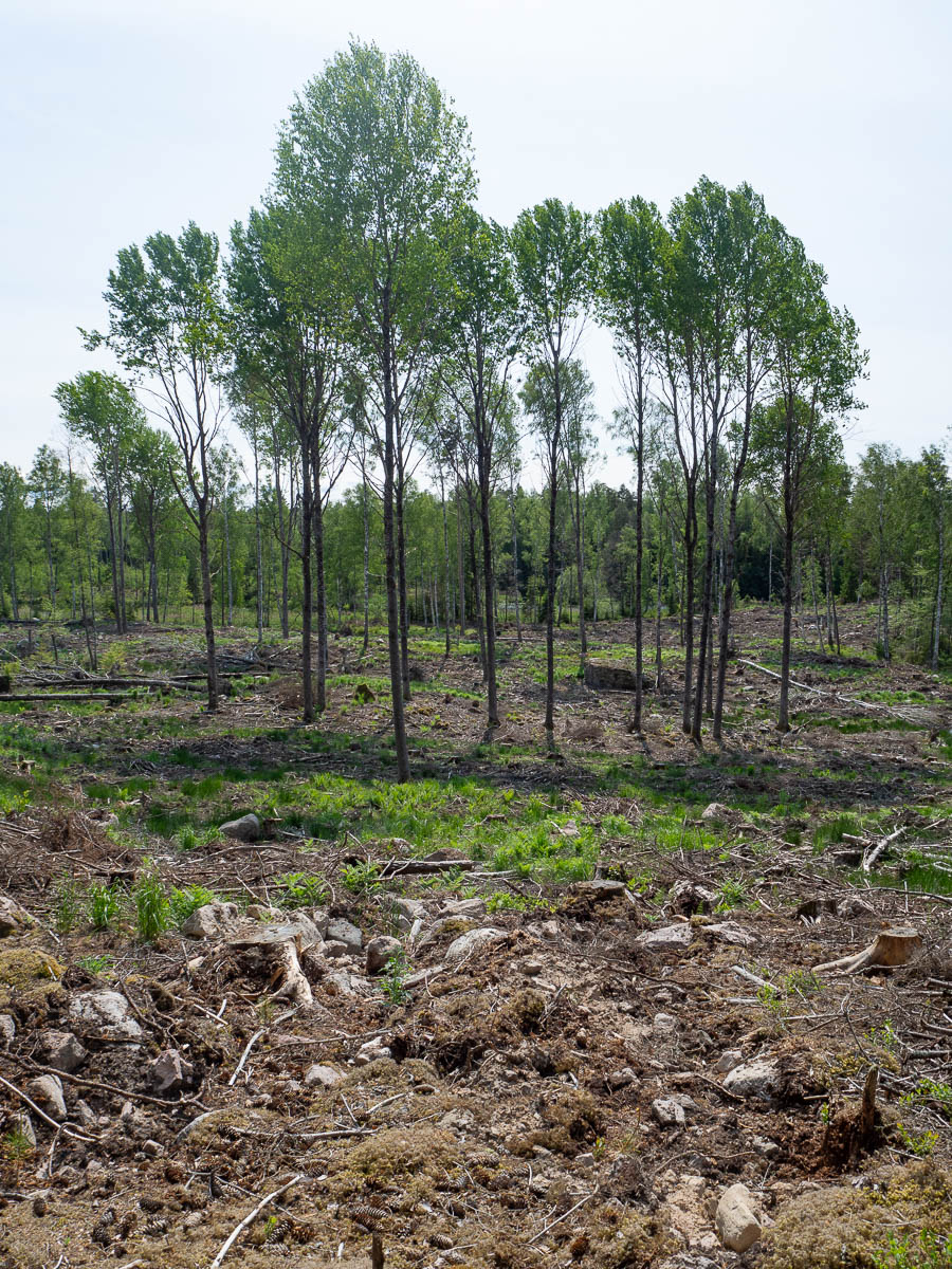
More clear-cut ground in the rough area where I had hoped to stop for the night, at the end of stage 28. Not much to do, other than keep going. I ended up walking 26 kilometres today, which is the longest I’ve ever done while carrying a tent and everything. It was light outside, the weather was good, the ground tent-unfriendly everywhere, and given the choice between stopping and going, going remained the better option for a long while.
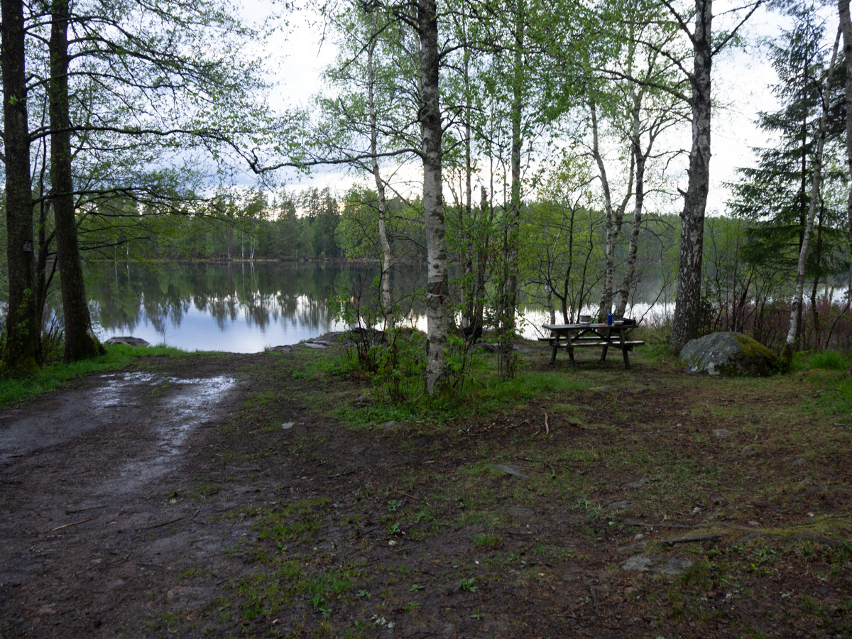
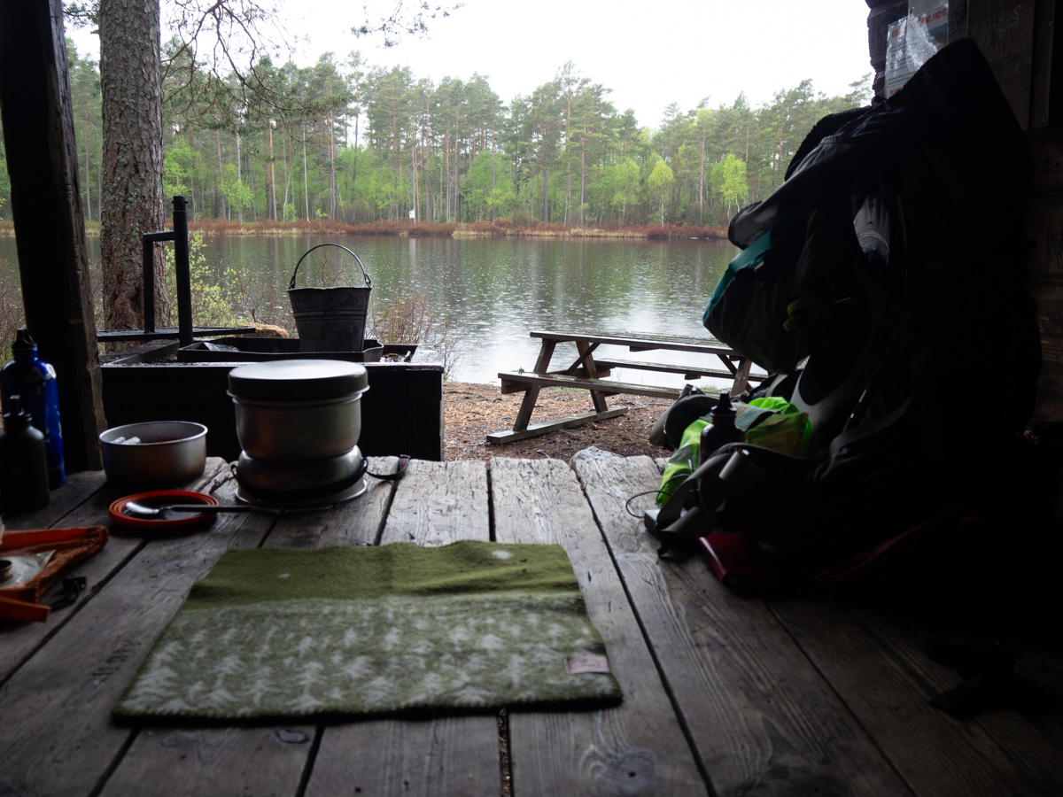
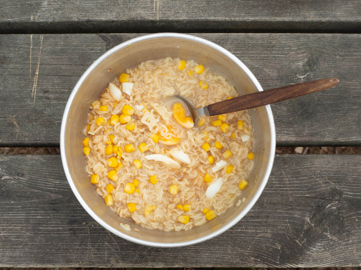
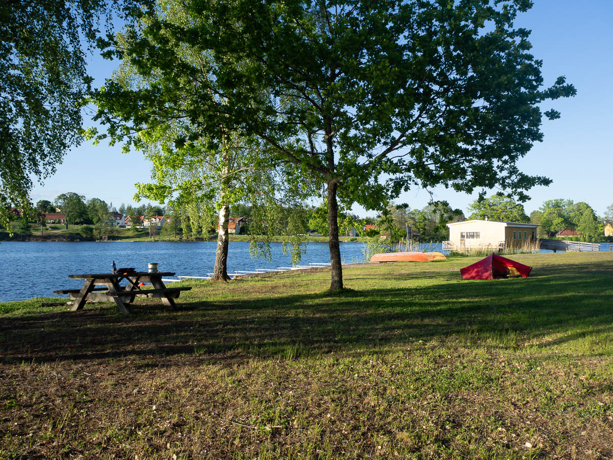
I was less tired and sore this time than during my previous hike. Even though that one was just a long weekend, and an entire month has passed, I’m still feeling the benefits. And I’d had two days of warm-up, so all my muscles were in good shape. The part that got tired were my feet. Training doesn’t seem to help – after a full day of walking, the soles of my feet just get sore. Proper sit-down stops, even taking my boots and socks off, kept me going, all the way to Forssjö. The map promised a lakeside beach in Forssjö, and if that were to turn out not tent-friendly then at the very least there’s always some flat, grassy no-mans-land on the outskirts of a town.
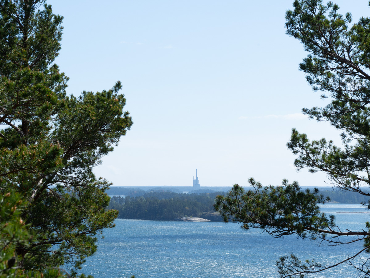
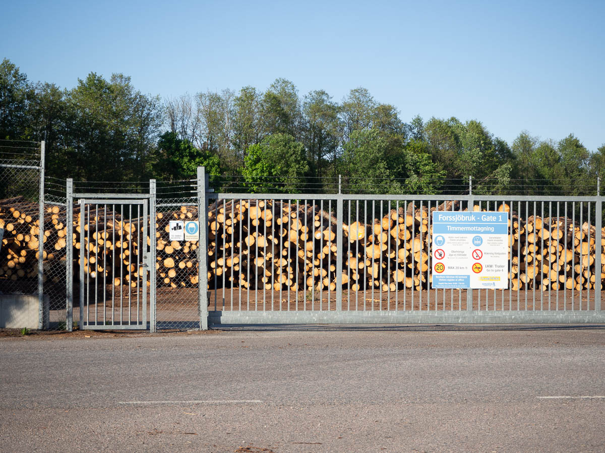
Forssjö is apparently also where the local timber ends up.
The map also promised a 24-hour grocery shop in Forssjö, where, I hoped, I could find some way to charge my phone battery. The shop turned out to be an unmanned one – which I rather should have expected. Not a problem, register for the app with the last dregs of charge on my phone, and get in. But inside the shop there were no visible power outlets except the two used for the self-checkout computer and some other electronics. So, no charging. I did get an ice cream and a lemonade, though.
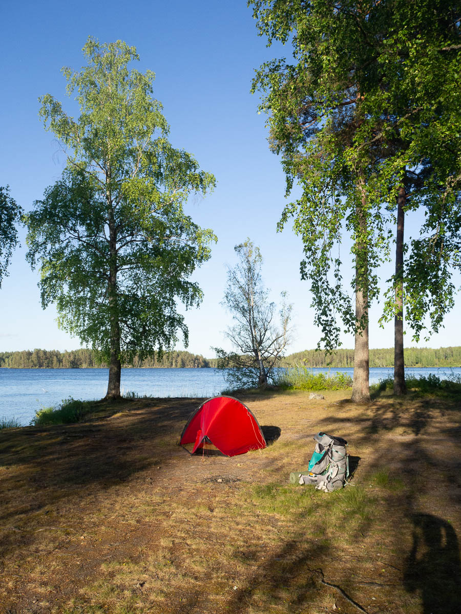
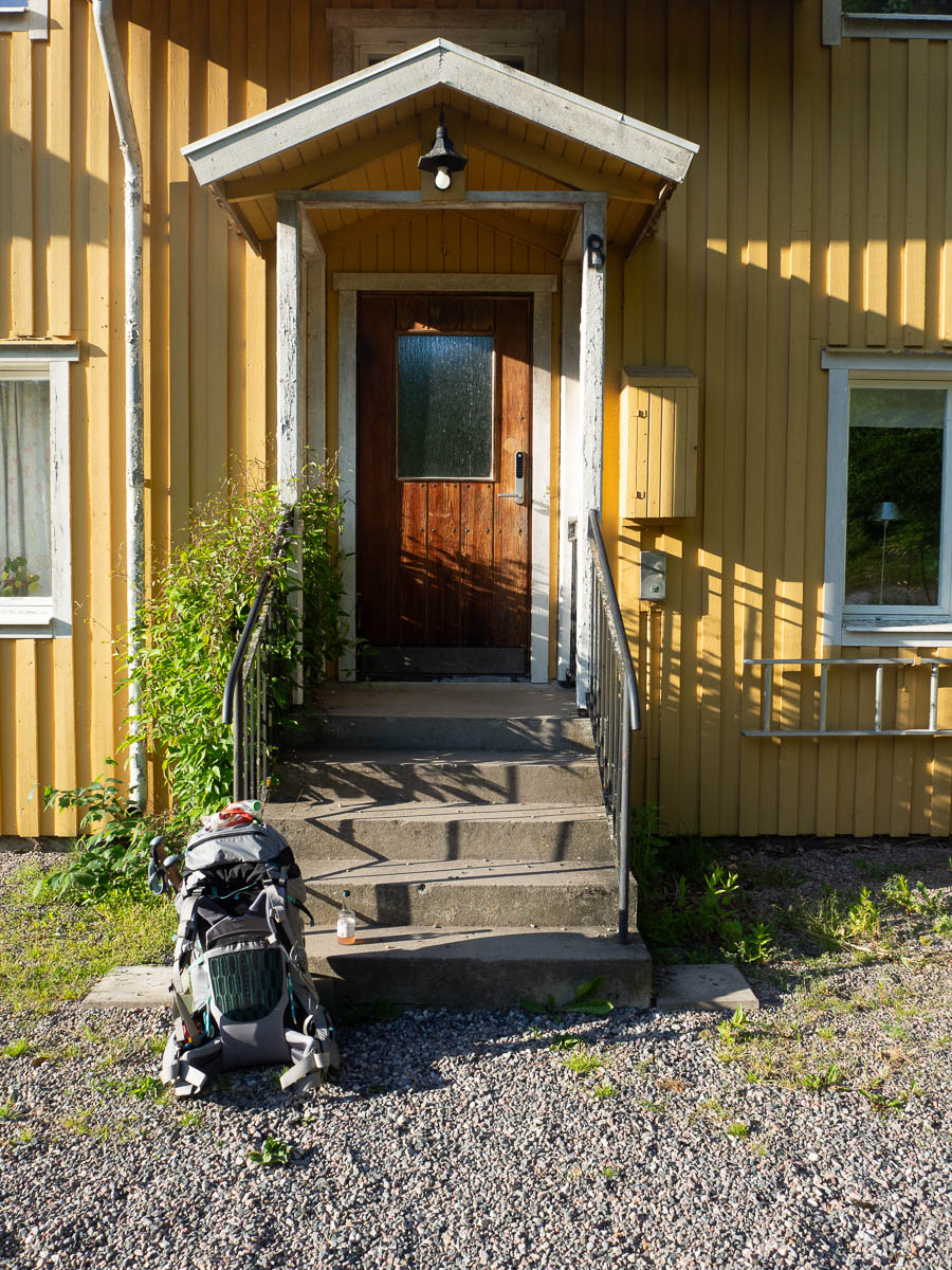
So I headed for a likely-looking area on lake shore to set up my tent. The last house on the edge of town had its door open, so I knocked and asked if I could charge my phone. It’s always worked out well for me when I’ve needed to top up drinking water, after all. It worked out equally well here – I left my phone charging in their hallway while I set up camp and made dinner, and got it back charged later. Thank you, kind stranger.
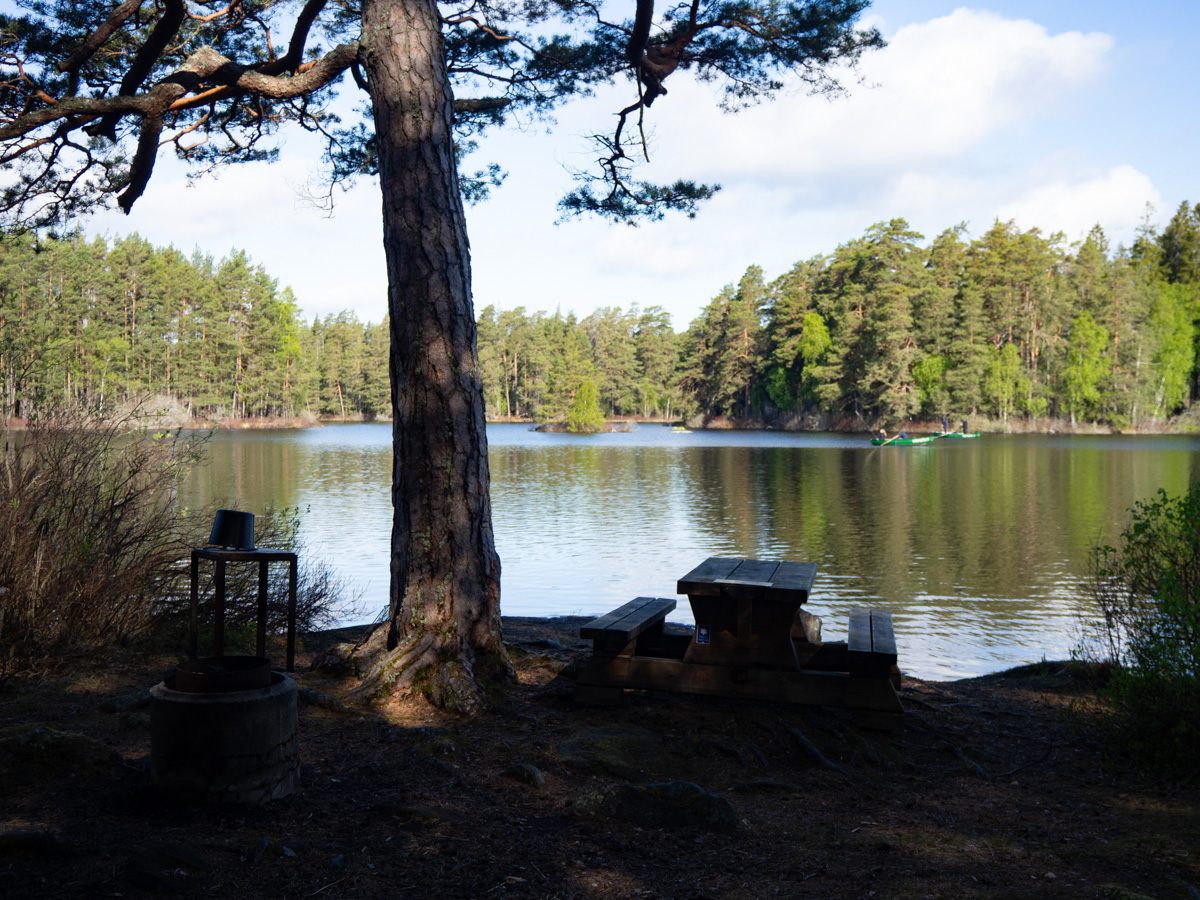
I ended up camping next to a harbour for small fishing boats.
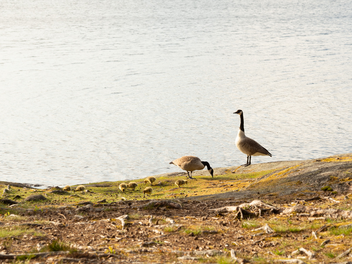
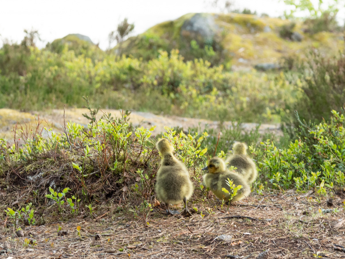
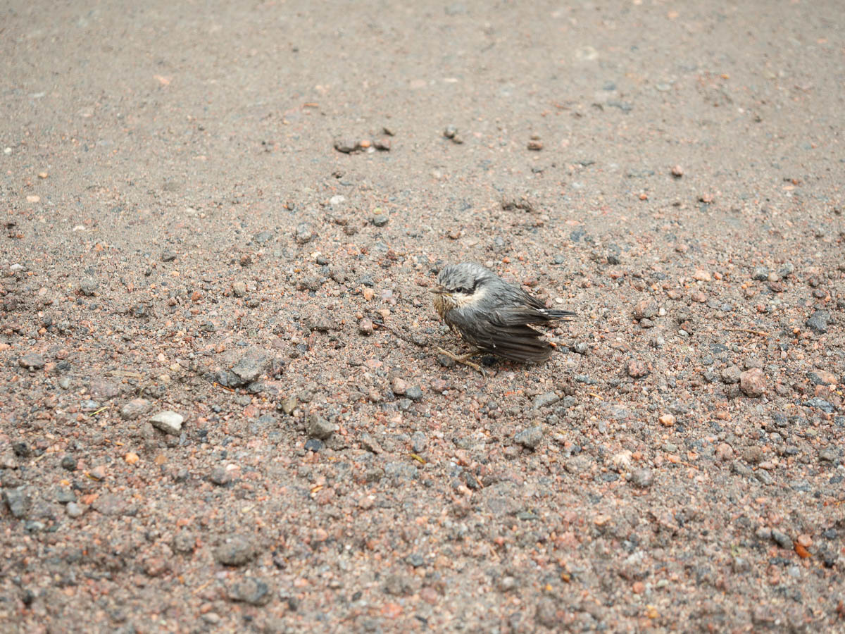
Wildlife today: Hare. Roe deer with two kids. A small herd of fallow deer. A pair of cranes of some sort, glimpsed through the trees.