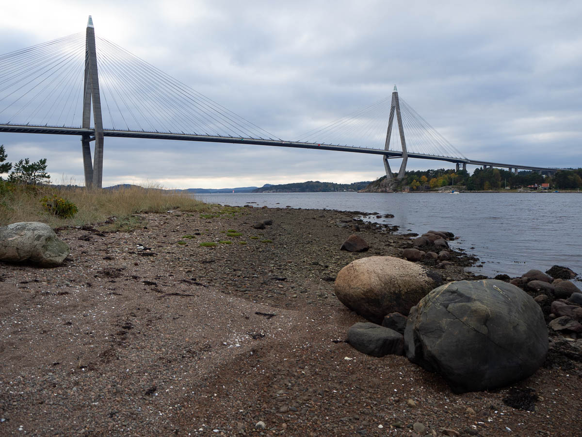
From the Uddevalla bridge to Bräcke, 17.5 km.

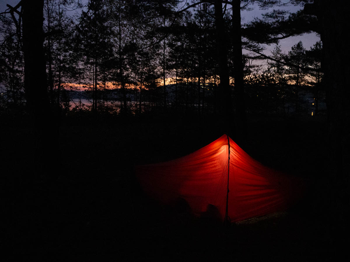
I went to bed early yesterday, tired after a full day of walking and bored of sitting in a cramped little tent for hours. It gets dark at about seven in the evening, and there’s only so much reading I can do.

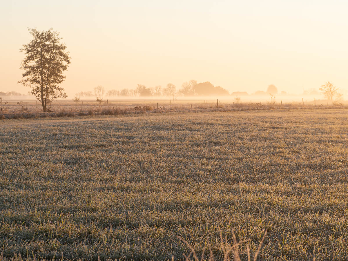
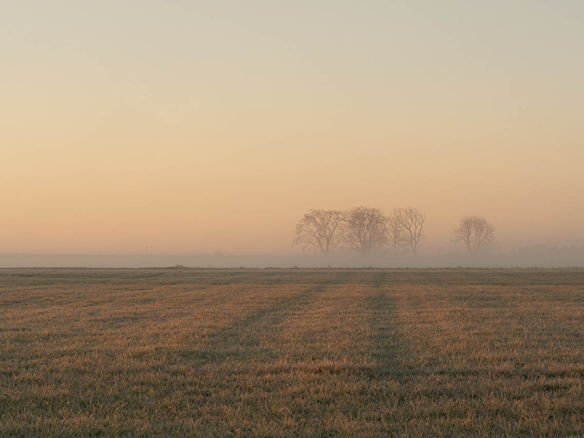
As a result, I woke up early this morning – early enough to see the sunrise, although it was cloudy and nothing much to look at.

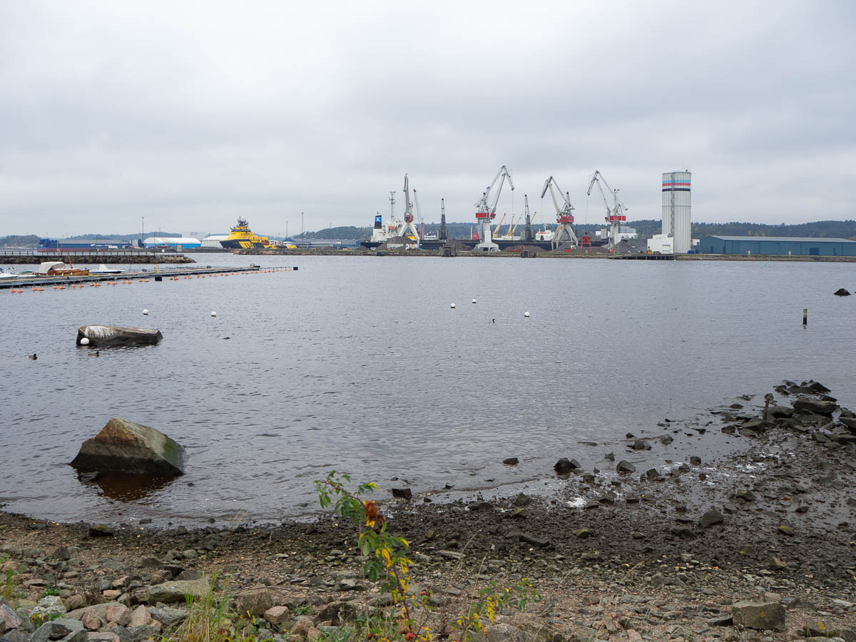
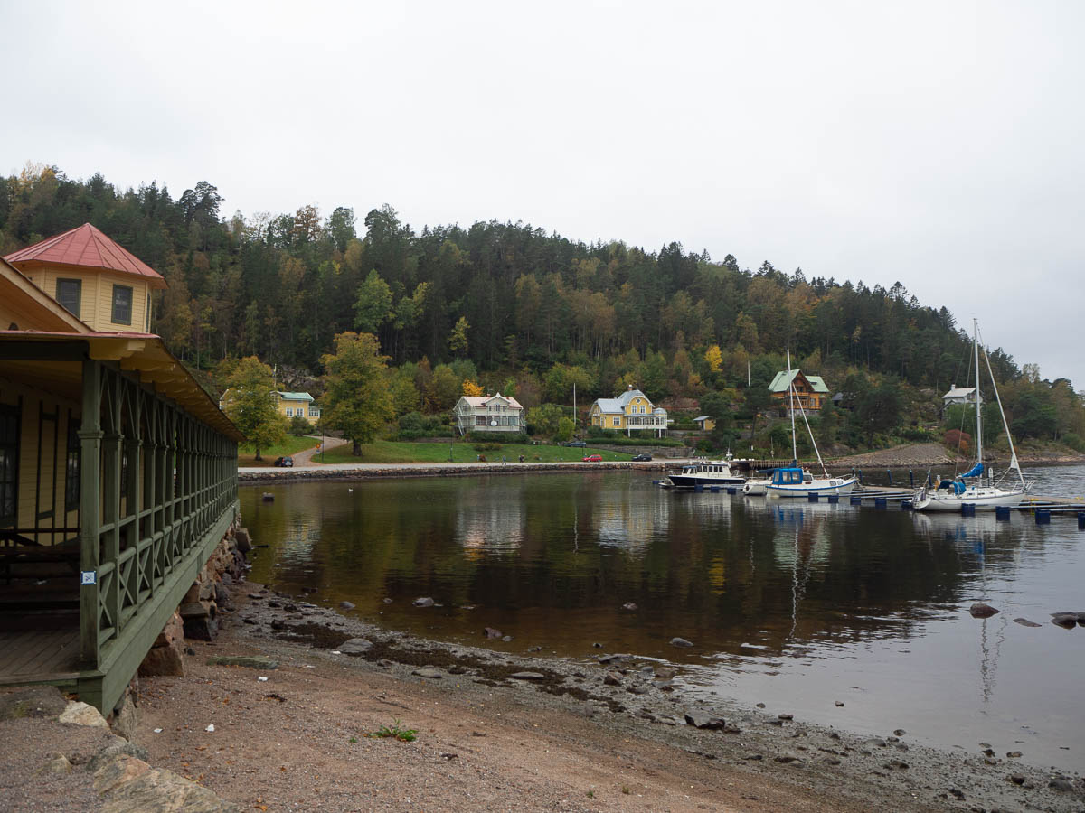
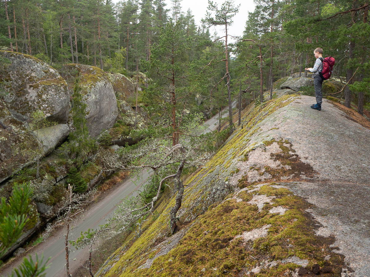
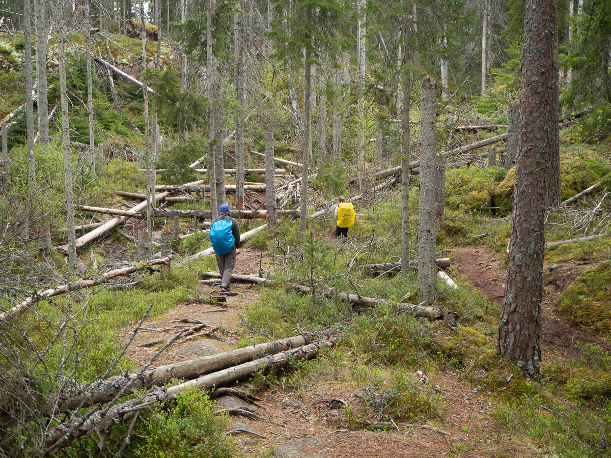
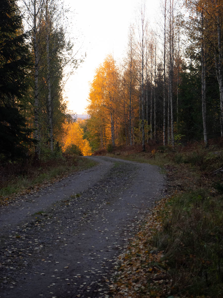
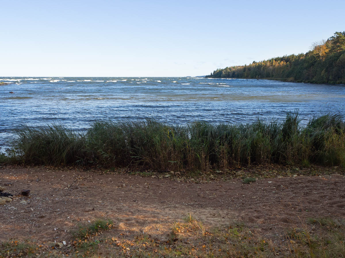
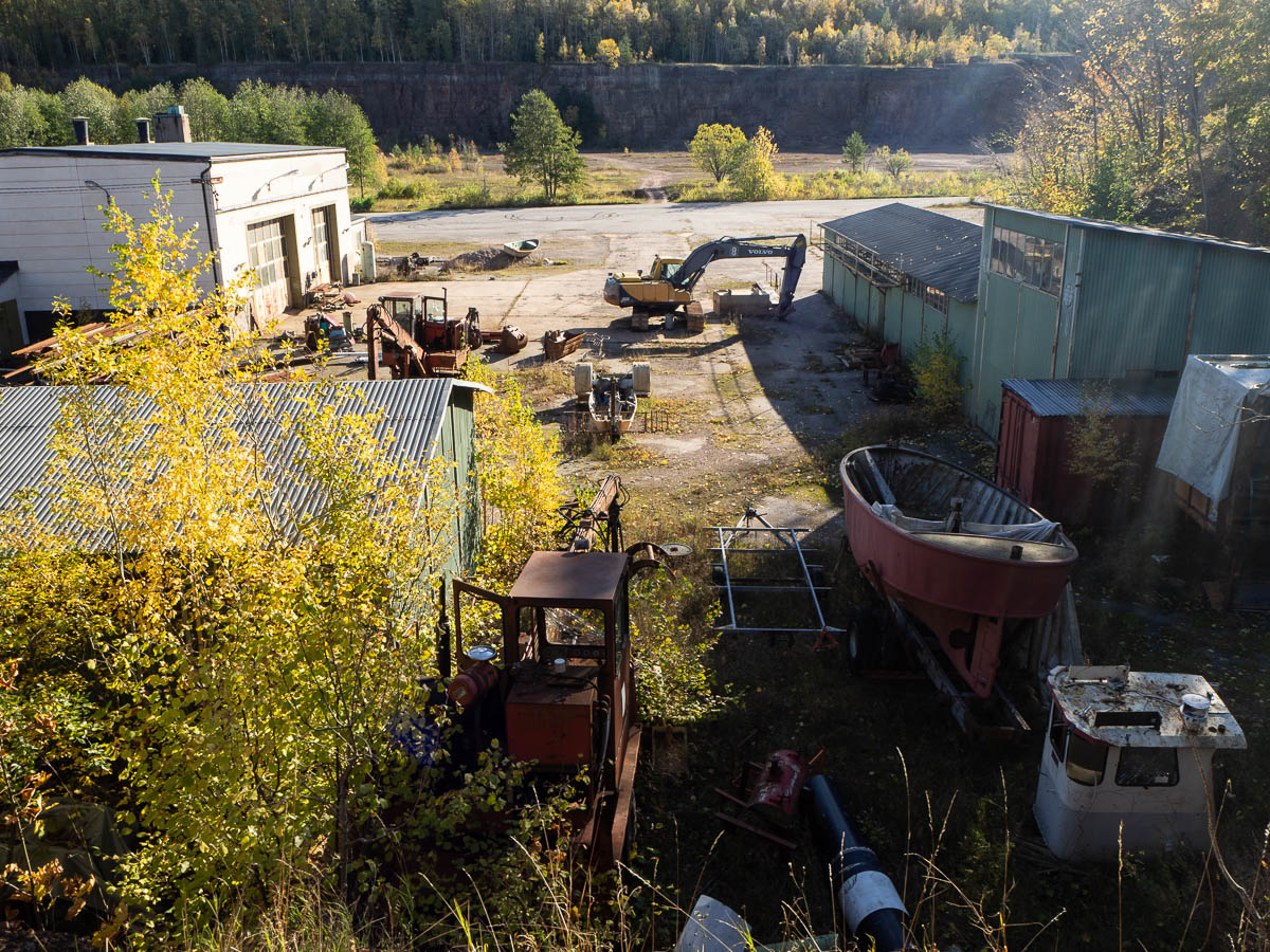
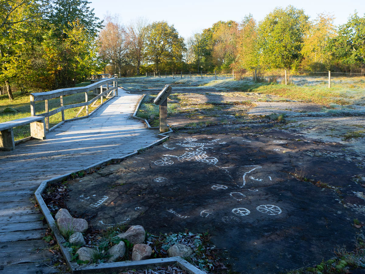
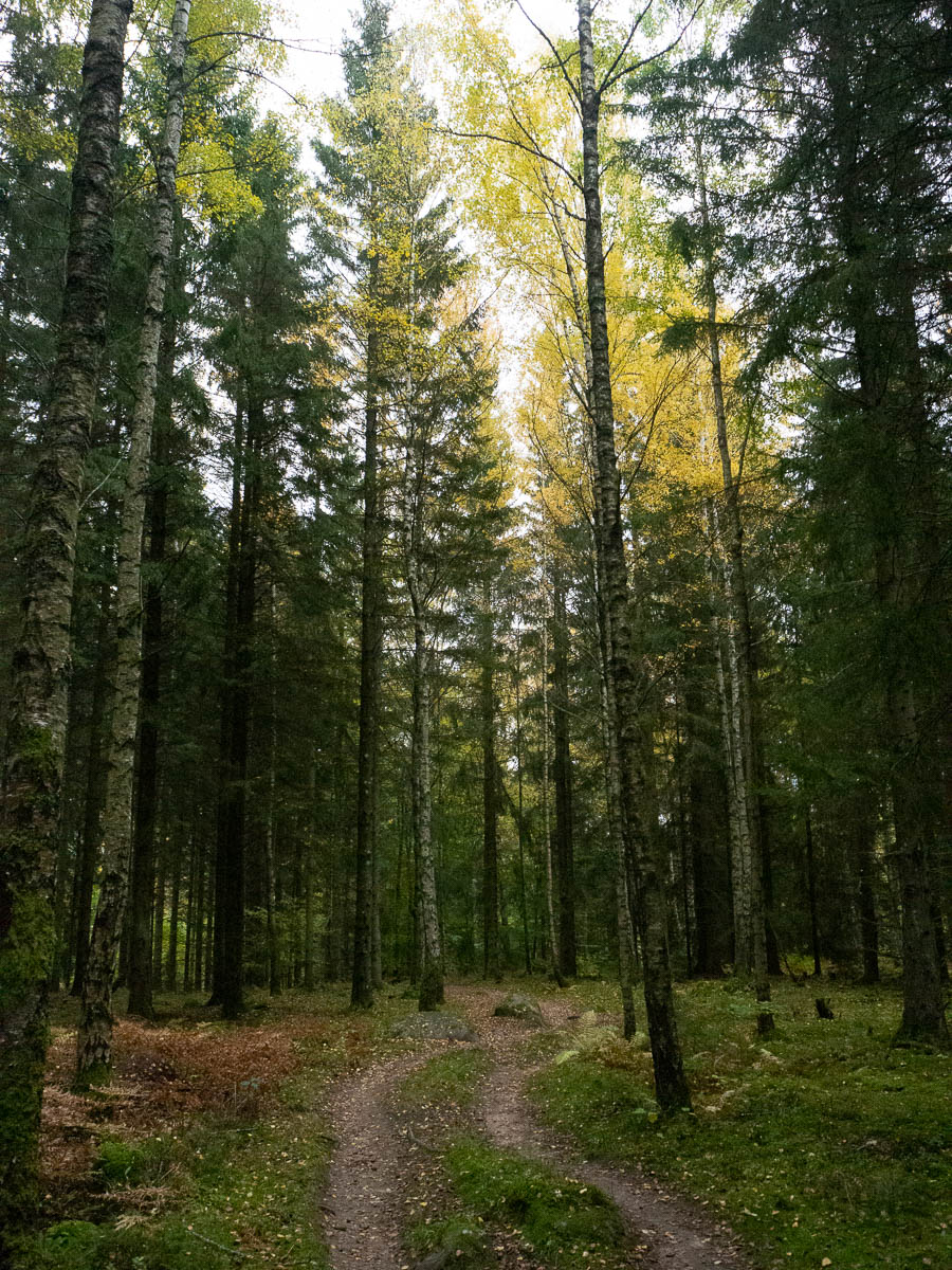
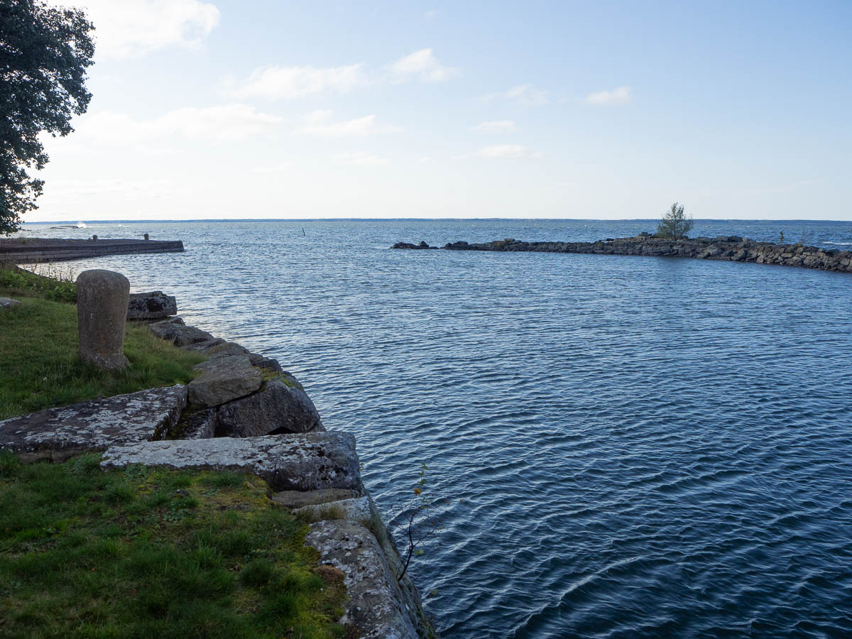
The first half of the day’s walking was disappointingly dull. I had been hoping for lots of coastal views from this walk, or at least picturesque fishing villages or something. Instead I got suburbia. I was literally walking on asphalt roads through modern residential areas. If I want to walk through suburbs, I can get that at home in Spånga, and better than here even, because Spånga is much greener than these modern, newly landscaped gardens.

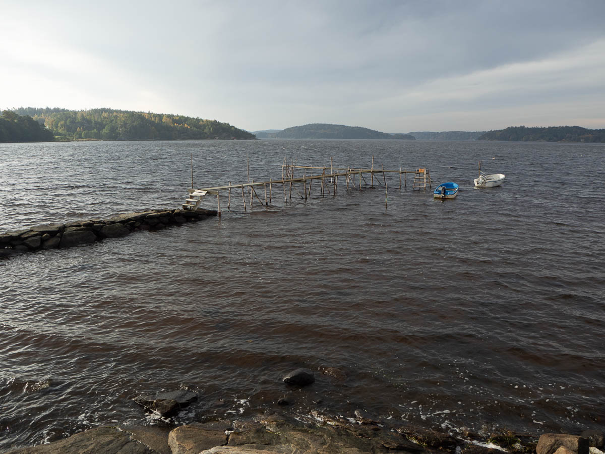
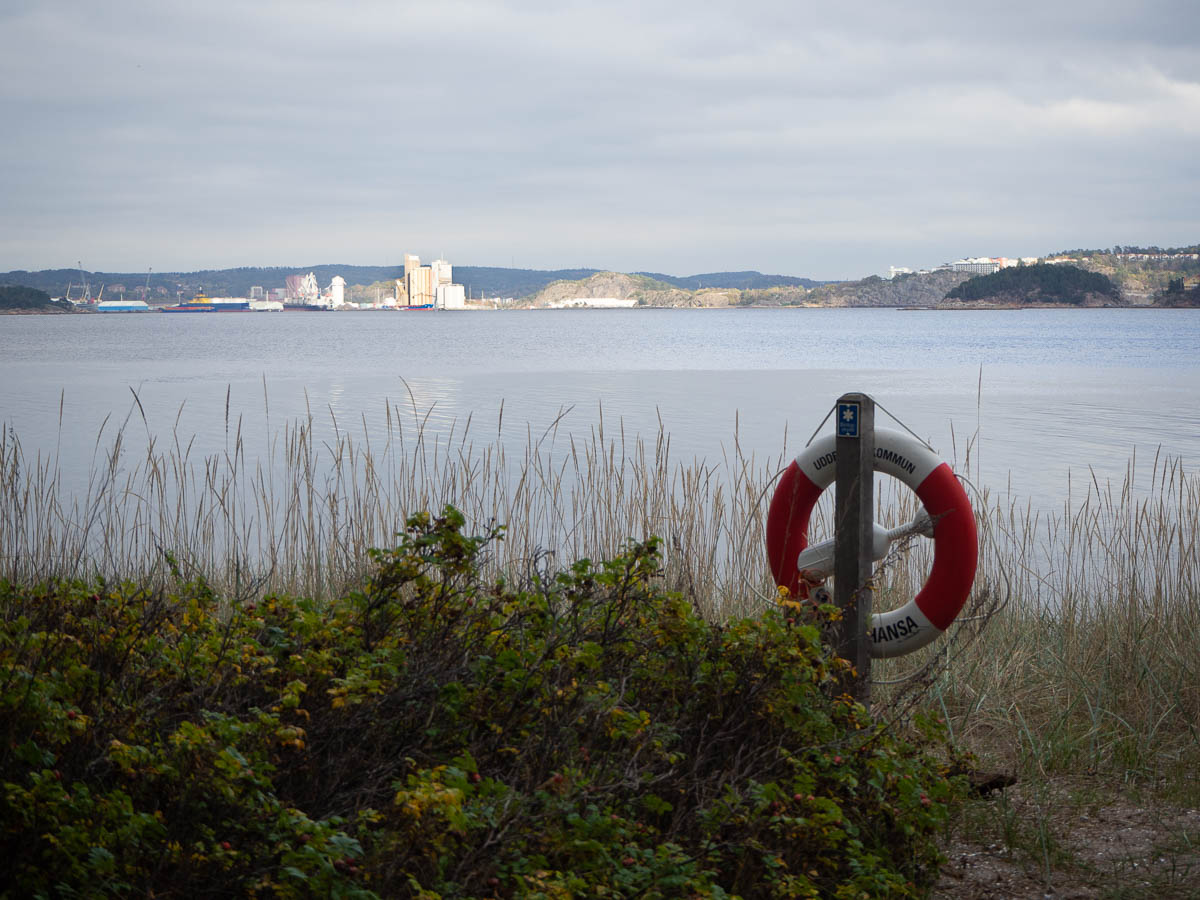
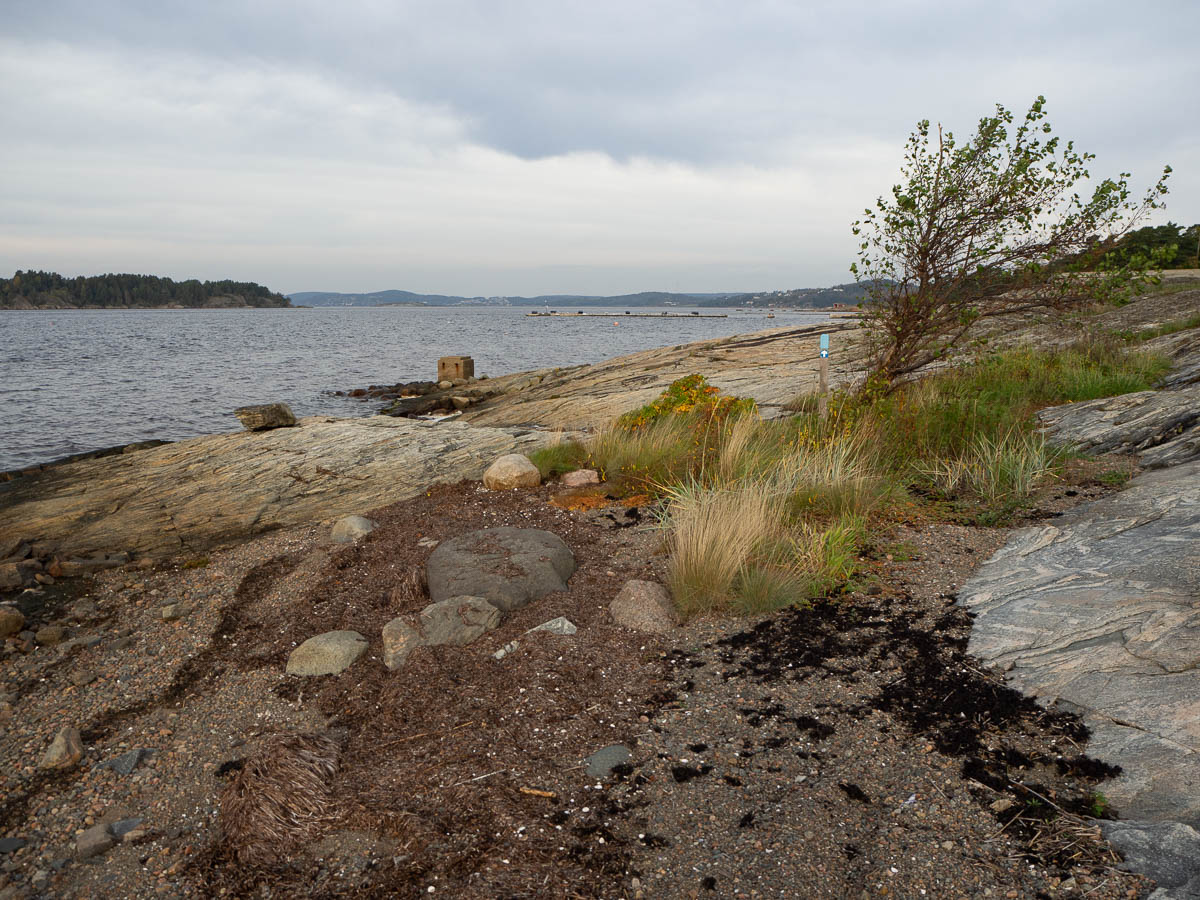
The asphalt was really hard on my feet. It is just so unyielding and has no give to it. It’s not so noticeable when you’re just walking, but with a heavy pack, I really felt it in my soles. Sore feet combined with disappointing surroundings didn’t make for a fun hike. The few times that I actually got to see the sea, I almost cheered out loud.


Suburbia is not just boring to walk through. It’s also very inconvenient for meals and other breaks. I can’t just put up my stove in someone’s front garden, or in the street! I had fewer breaks than I would have wanted, and had my breakfast much later than I would have preferred, because there was just nowhere to stop.

I wonder if the people who planned this hiking trail have actually tried walking it themselves. Or maybe they’ve just done it in short, easy chunks, with no need for a lunch break, and a car waiting for them each afternoon.

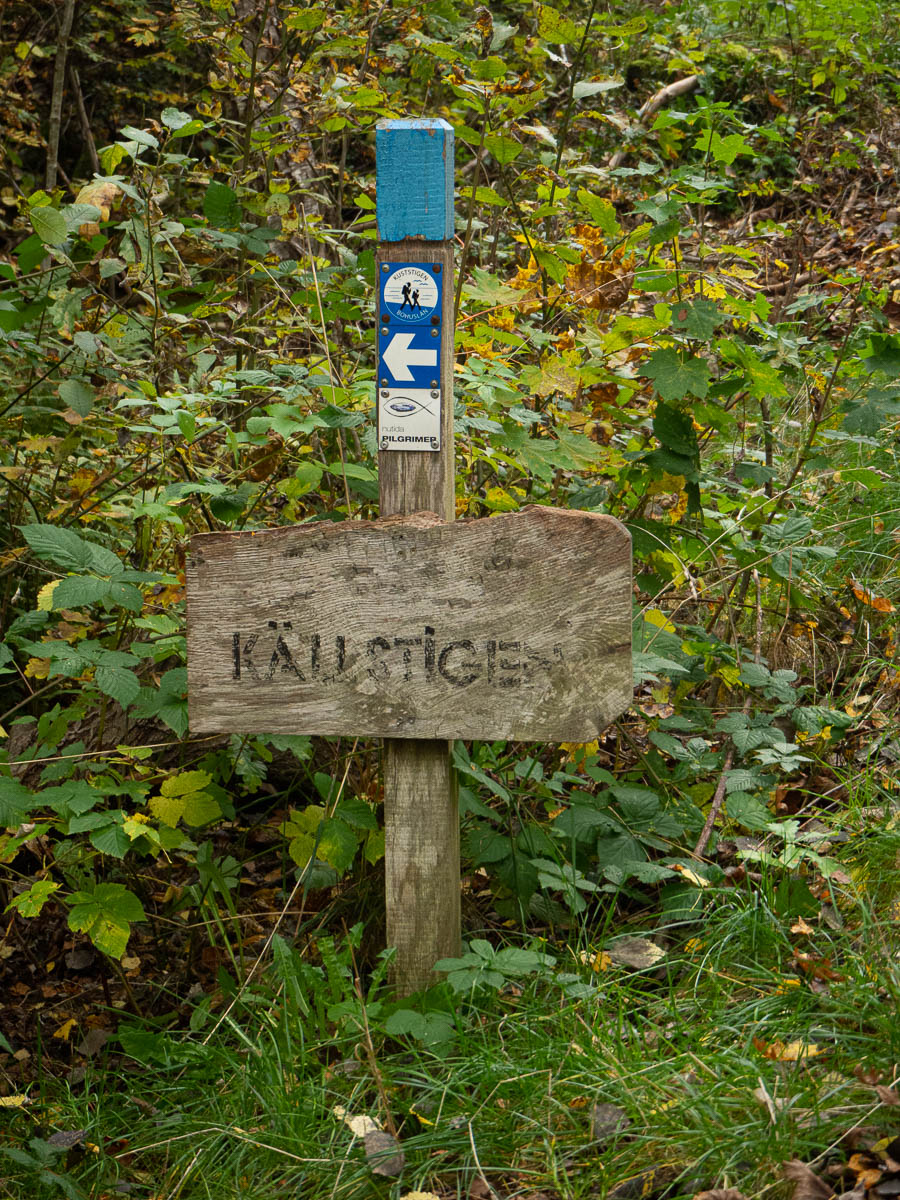
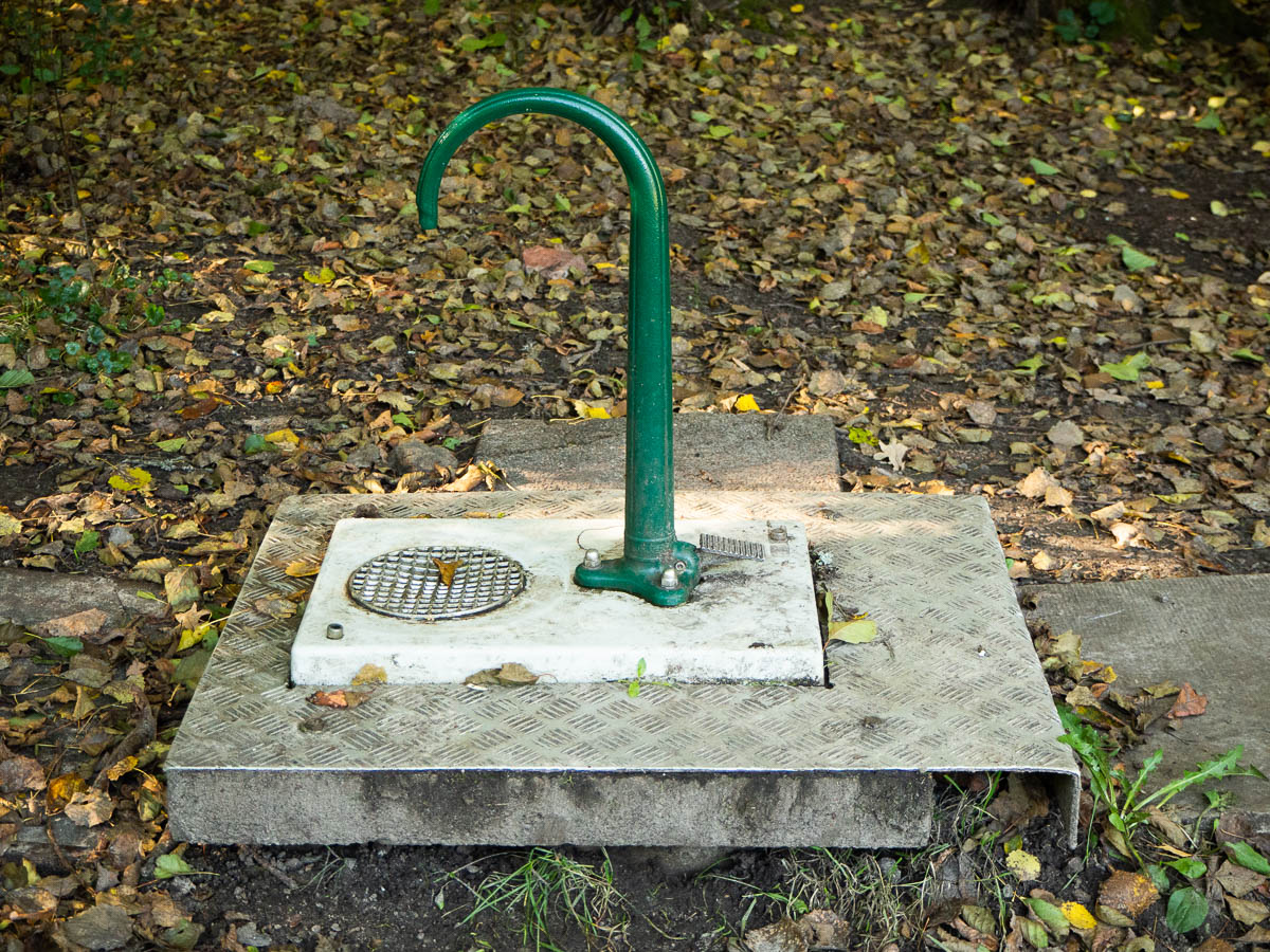
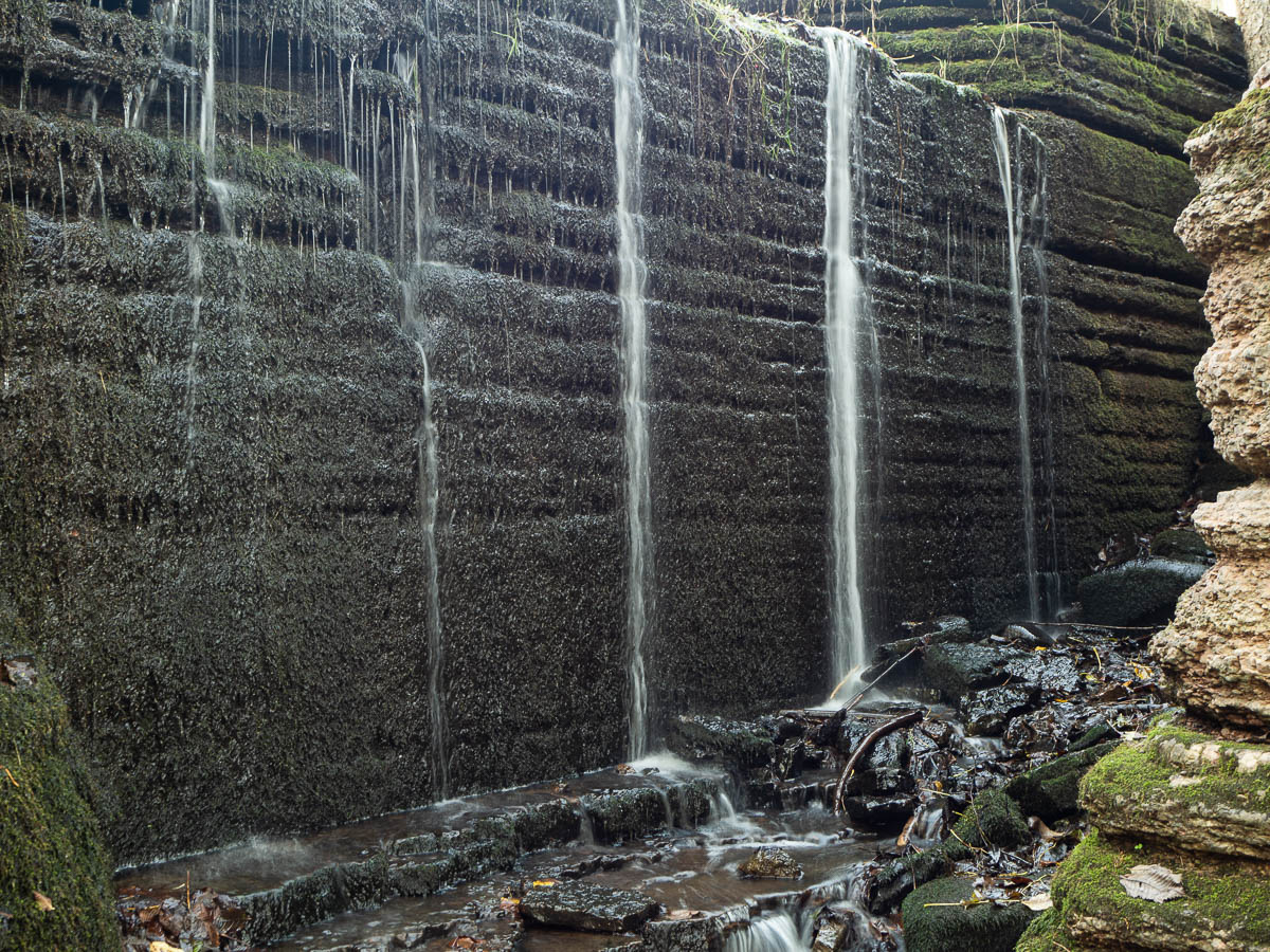
The trail followed this little “Wellspring path” for a short while so I was hoping for fresh spring water, but I didn’t see an actual spring anywhere.

A good thing about walking through built-up areas is that the lack of a spring was not a cause for worry. There are houses everywhere, with water on tap inside them. All I need to do is knock on a few doors.

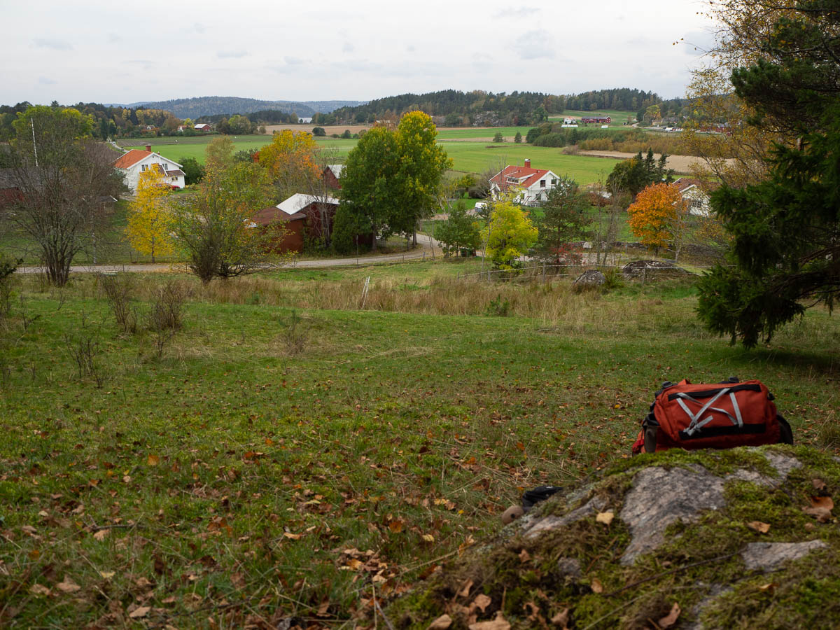
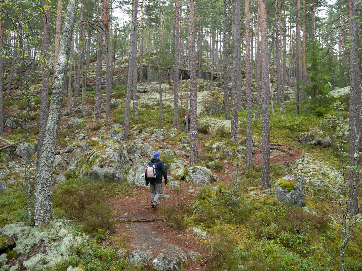
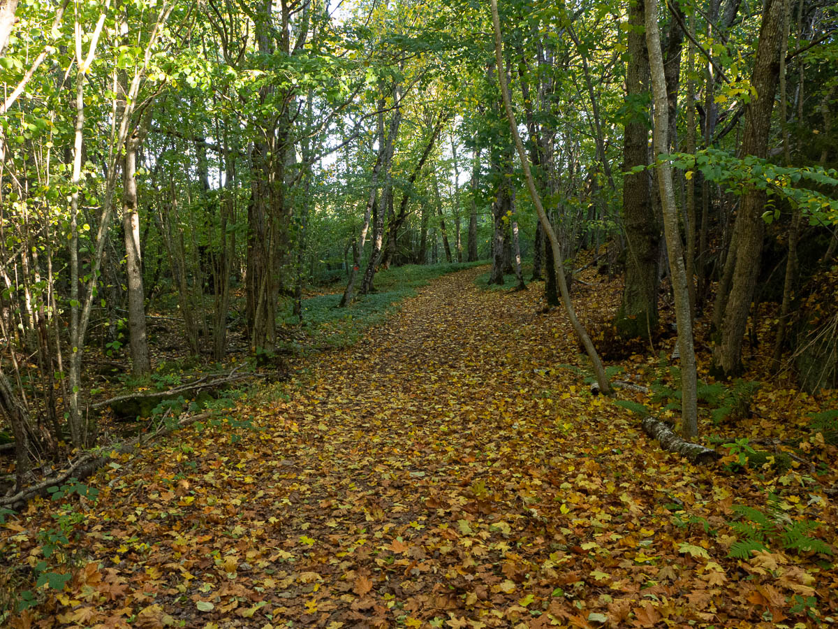
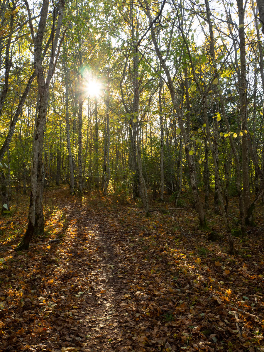
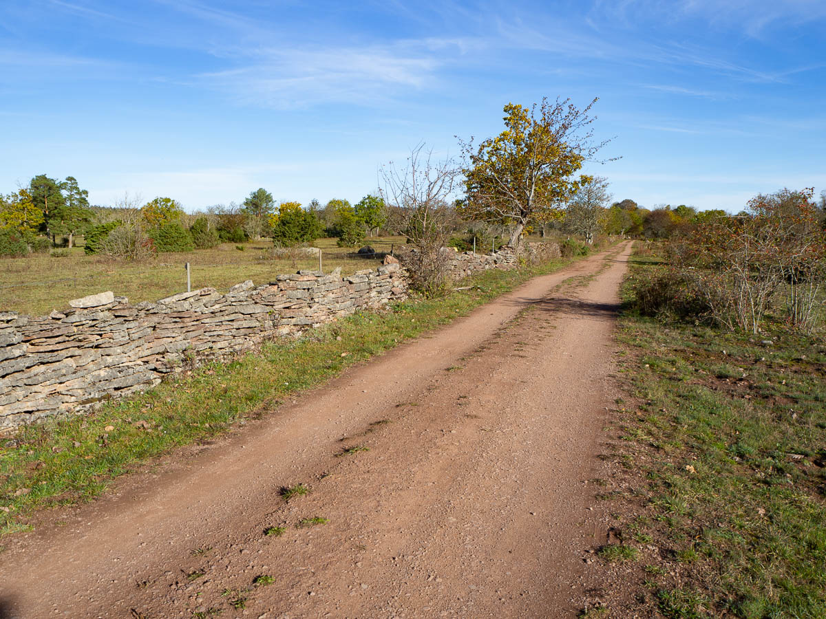
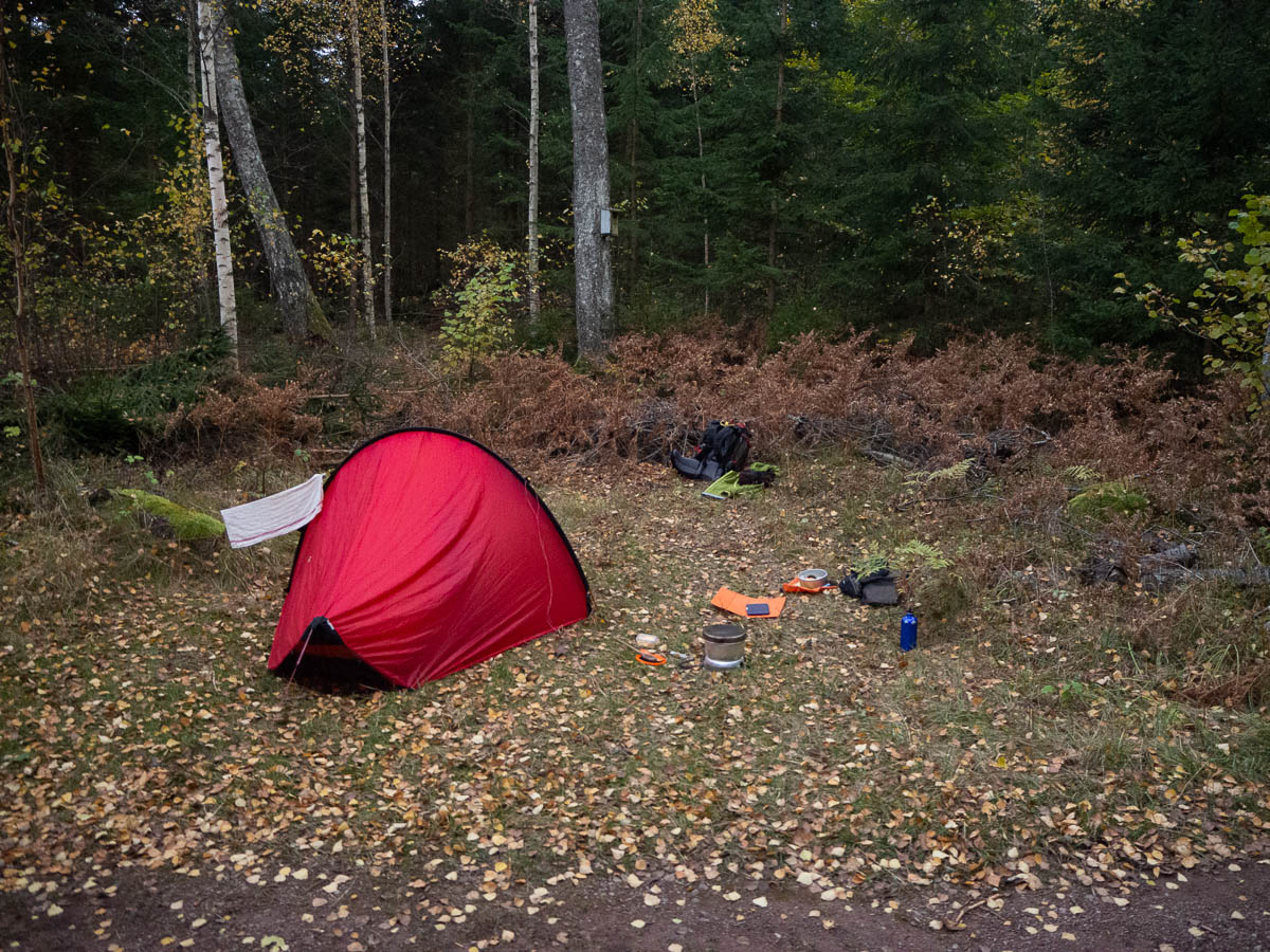
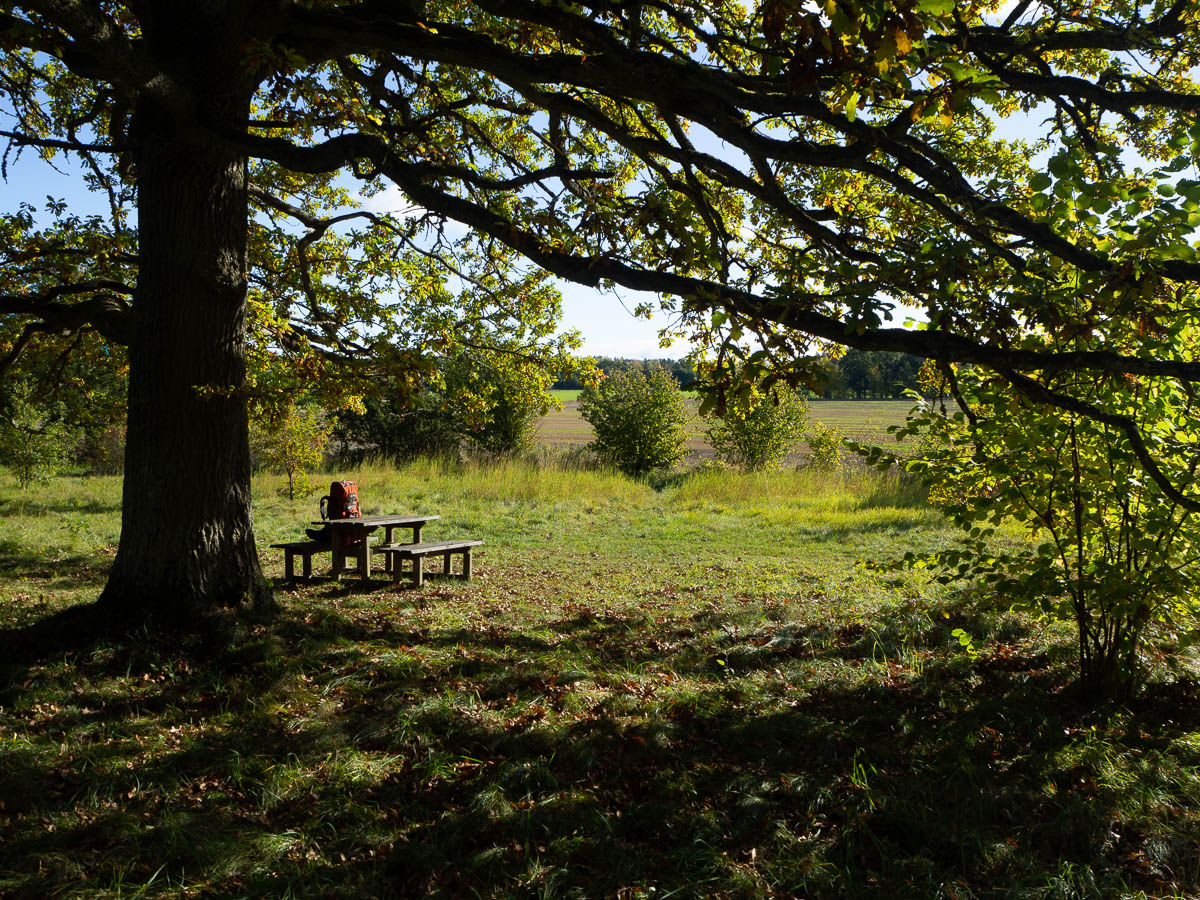
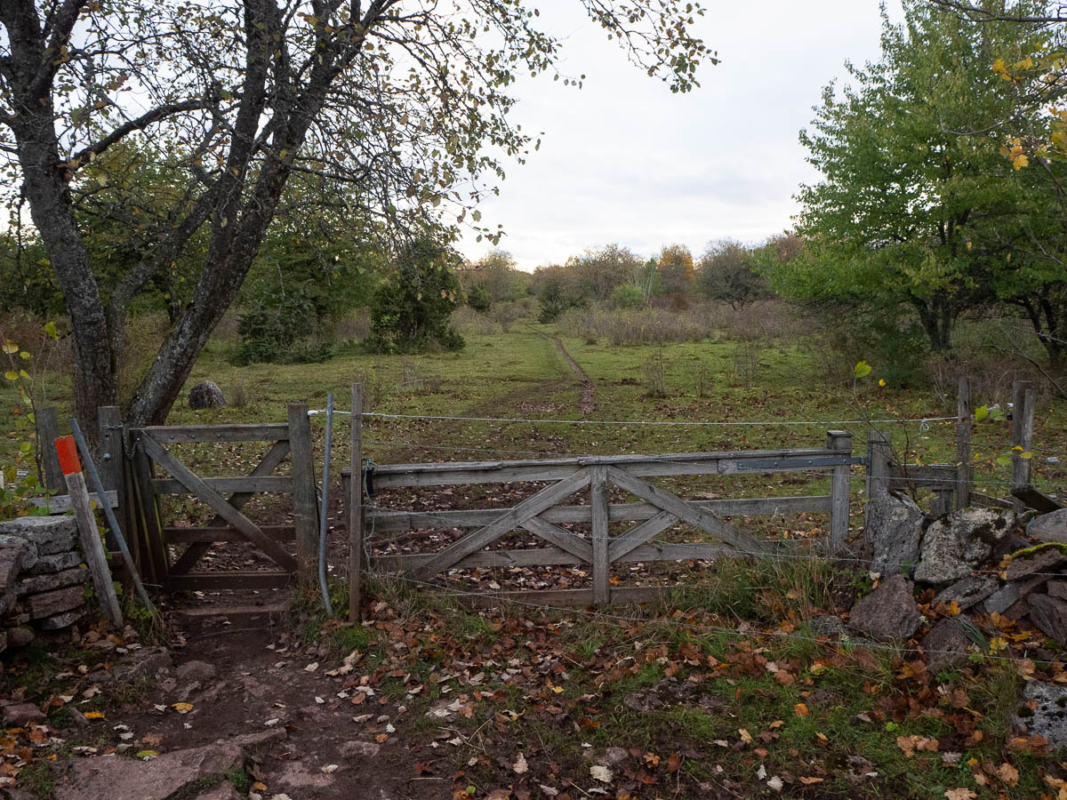
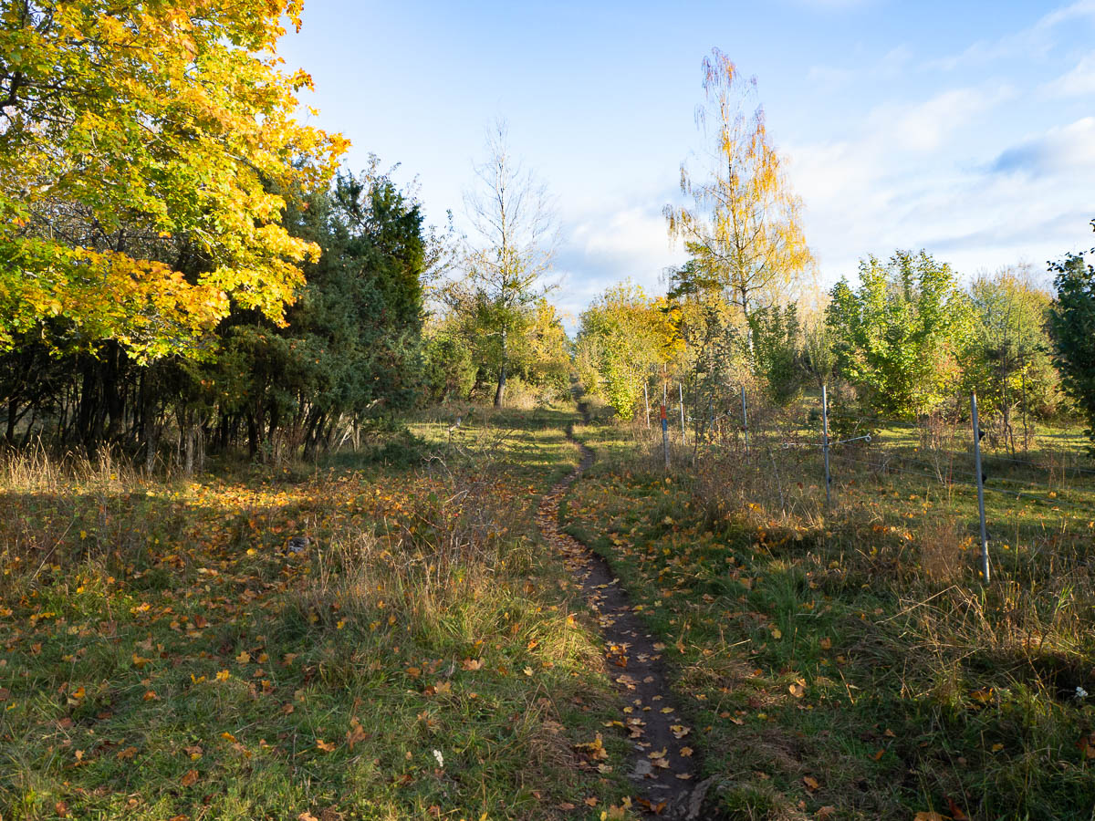
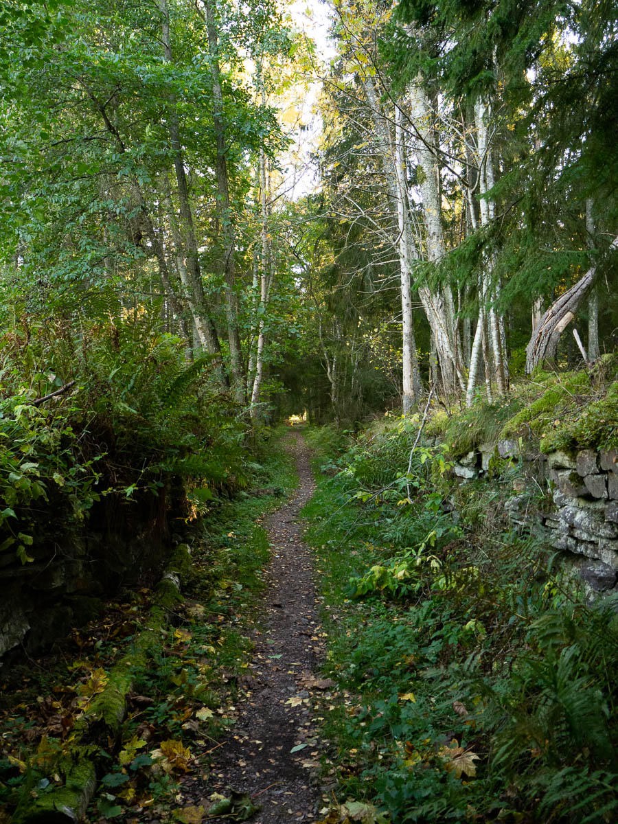
I stopped for a late lunch at around two o’clock, yet again because there was nowhere to stop among all the houses. Finally I got from suburbia into a slightly more rural area with a small fenced pasture, where I could put down my pack and sit down.

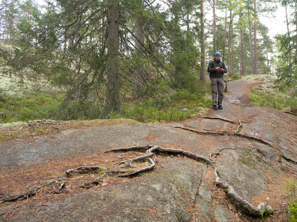
I had a bit of a scare as I checked the map app and it informed me that I had walked less than 8 km. I had planned for about 15 km per day – if I have only walked 8 km by two o’clock, I’m not going to be anywhere near my goal! It turned out that the app had stopped tracking for a while, due some power-saving feature trying to be clever, so it had missed a chunk of my trail. I know I’ve walked more in reality, but this stressed me out a bit.

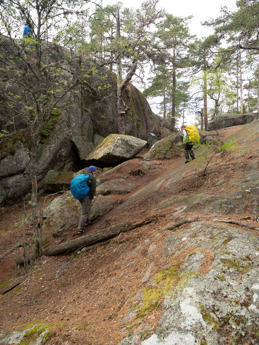
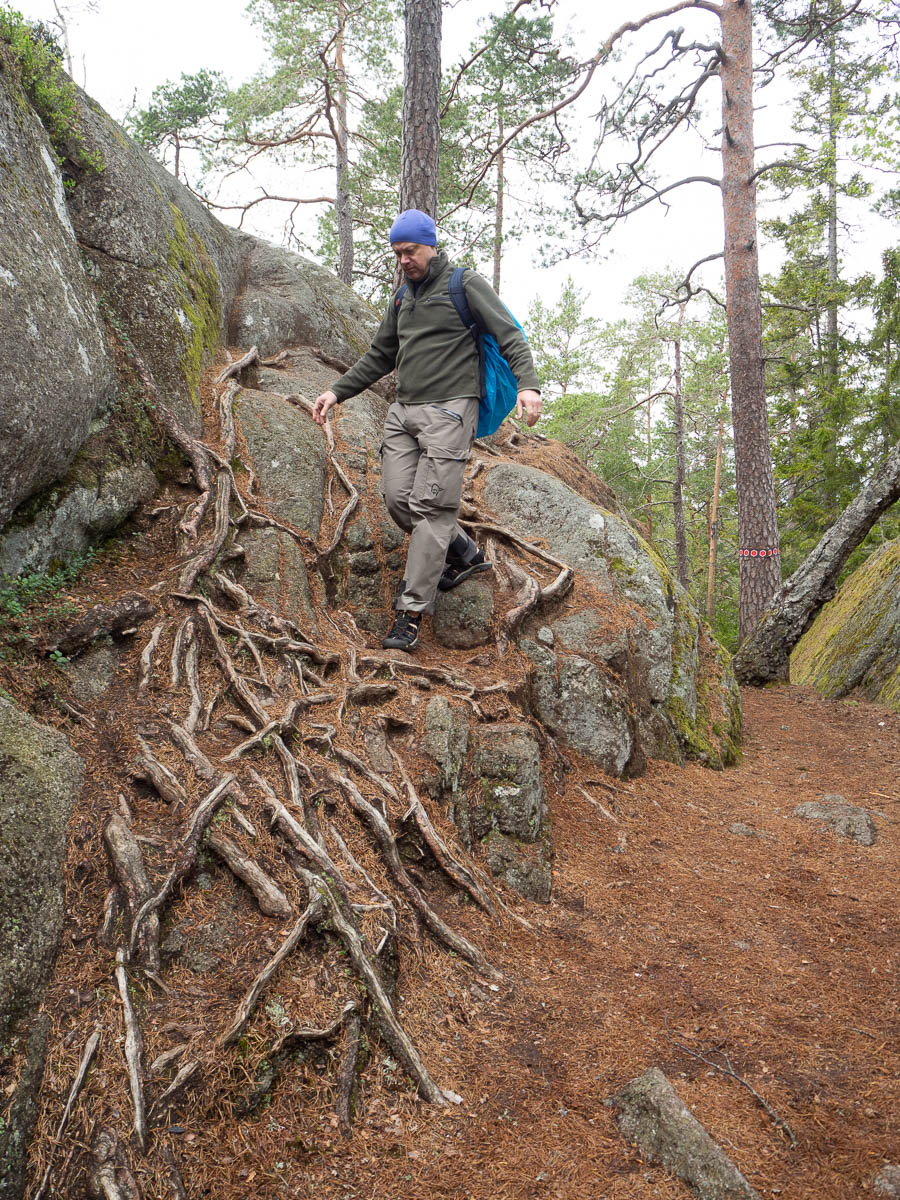
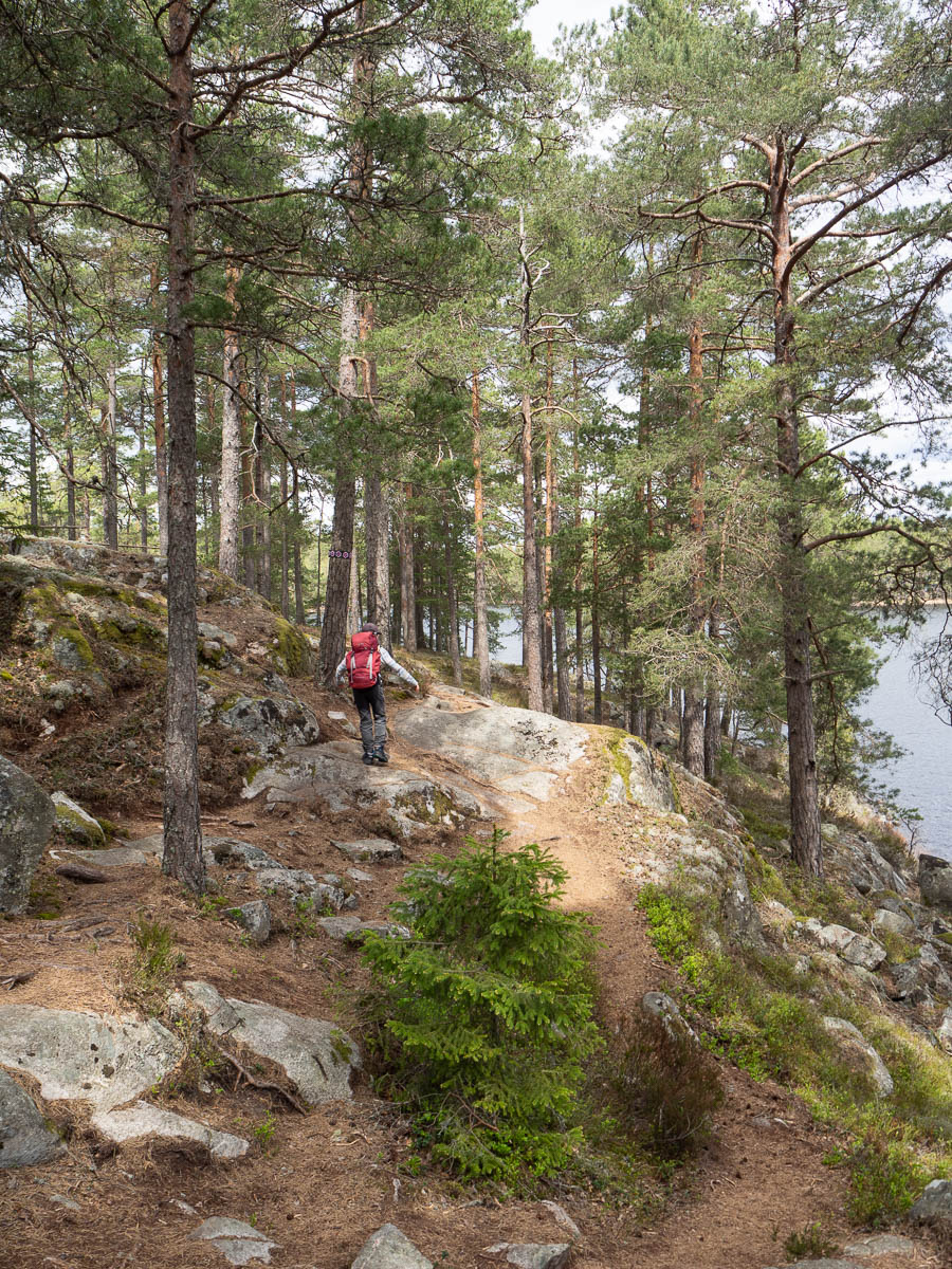
I didn’t enjoy this afternoon’s walk much at all. My surroundings were OK but nothing special, my feet were sore and the pack felt heavy. And then I struggled yet again to find a place where I could stop for the night, and had to keep walking longer than I had intended. The last kilometre or two were not fun.

I’ve had less enjoyable days outdoors – the slushy gale in Skarvheimen comes to mind – but this takes the prize for sheer plodding boredom.

I thought I’d do something new again this year for my autumn hike. (I’ve gone to Jämtland several times, and hiked the Kinnekulle trail last year.) The coastal trail in Bohuslän (Kuststigen) is supposed to be nice, so I’m trying out the first few stages of it.

Day 1: through Uddevalla to the start of stage 1, then stage 1 and most of stage 2. 15.5 km.

The first bit was pure transportation, getting from my hotel to roughly the starting point of the trail. Though I cheated a little bit and skipped a few hundred metres of asphalted road through an industrial/commercial zone, and cut straight to the point where the trail meets the Bäveån river.

Through Uddevalla the coastal trail wasn’t marked at all as far as I could see, because it overlapped with a “riverside walk”. I’m sure there was actual information about this somewhere, but I was left to just deduce it from the lack of other signs.

I was expecting a riverside walk to be sedate and civilized, but in places it took me up and down quite steep, rocky slopes and was overall more demanding than I had expected. It took me a while to see that at some point the path had split into two, and I had ended up on the one marked “difficult” in tiny, white letters. The people marking this trail sure expect their visitors to read the small print carefully! Still I rather enjoyed these sections and later chose the difficult option intentionally.

The path followed the river all the way from one side of Uddevalla to the other – past waterfalls, through the city centre, and then through a harbour. Along the way I read interesting information plaques, as the tourist I was, about how the river was used to power sawmills and power plants, about the funeral procession of Karl XII passing through Uddevalla, and about the fire that devastated the city in 1806.

Towards the edge of the city, I could see the industrial harbour on the other side of the river, and far off in the distance the Uddevalla bridge.

The path was getting a bit scruffy at this point and I expected it to peter out into a muddy gravel path at any moment. And then all of a sudden, just as I got out of the city for real, it turned into a beautiful boardwalk that hugged the rocky coast and had perfect views in all directions.


I kept following the coast all day. Sometimes the view opened up forward, towards the west and the Uddevalla bridge again. Other times the coast curved back and I had views back toward the harbour again. I passed through the old seaside resort at Gustafsberg, which was rather picturesque, but also newly built suburbia, which was rather less so.

I made camp in a small patch of woods just before the bridge that I had been walking towards all day. It felt appropriate and symbolic, somehow. It also seemed to be the last bit of free ground, according to my maps, before the trail would take me back into more inhabited areas.


I loved the evenings and mornings here. We had company from other walkers the first two nights, but last night it was just us. The evenings have been full of birdsong. They only stop around 21:30 and get going around 2:30 again. Thank god for earplugs.

I’m no expert on songbirds but I’m guessing blackbirds were responsible for much of the singing. I often see and hear blackbirds at home, and these sounded the same. We also heard cuckoos, which are such a nostalgic summer sound for me. We don’t get those at home.

The first night a pair of cranes flew past several times, honking so loudly that they woke Adrian. Or maybe multiple pairs who just happened to choose the same route.

There was another bird with a very distinct sound that I wasn’t familiar with. I had to Google for its sound to find out that it was a woodcock (morkulla, metskurvits). It came back every night and kept flying back and forth over the camping site, singing its odd song all the while. Crawk, crawk, crawk, tweet!


A combo of Oxögabergsrundan and Trollkyrkorundan, maybe 10 km or so, and Mellannäsrundan, 1.5 km.

We did the most obvious route yesterday. Today we headed into the wilder parts of the park. Yesterday we met plenty of people all day; today – especially on Oxögabergsrundan – barely any at all.

The elevation profiles for today’s trails were much more up-and-down than for the lake circuit yesterday. But in practice we found today’s walk less challenging. There may have been more hills, but the path itself was somewhat more even and easier to walk, with fewer roots to stumble over.

The weather report promised rain for today. A few days ago it promised pouring rain all day. Then the forecast gradually improved as the day got closer, and by this morning we were down to maybe the occasional shower. And in practice we got a few very, very light showers. Enough to put the rain covers on the rucksacks as a precaution, but not enough to get us really wet.

We managed to time both our mid-morning snack and our lunch break between the rain showers. Adrian of course found rocks to climb on top of for his snacks.

I love walking in really wild forests like this, with wild growth everywhere and dead trees left to rot where they fall. When a large tree falls right across the trail, the park staff cut out a big enough chunk of the trunk to allow hikers to pass through, but leave the rest untouched. And they don’t even bother doing anything about trees that you can easily step over or crawl under.

I walked the Trollkyrkorundan trail when I was here on my own a few years ago. It’s funny how my brain remembers places. I remembered the viewpoints on top of the rocky hills, the two “troll churches”. Most of the trail I didn’t recognize at all. But there were small things here and there that were immediately familiar. I knew I had walked past this particular cluster of rocks, these specific dead trees. I remembered stepping on these very roots to climb that rock with an absolute certainty.

After 10 km of walking it was barely three o’clock in the afternoon. No point in heading back to the camp yet, because all we’d do there is sit around and wait for dinnertime. Even Adrian thought more walking would be better. So we drove a few kilometres to the other end of the small park for another short circular walk. This one was so flat and easy that it felt like a bimble in the park.

Adrian loves walking and can easily keep going all day, as long as his pack is light. If it isn’t, he starts complaining. The kilometres don’t bother him, but the kilograms do.

I’m vaguely thinking of doing a longer walking holiday this summer, covid permitting. If we did day hikes, we could make them quite ambitious. But if it’s anything that requires us to carry all our stuff with us, then either Eric and I would have to carry most of his gear, or we’d have to keep the days quite short, or live with a fair bit of complaining. So maybe we need to stick to day hikes still.


Trehörningsrundan 9.5 km + Tärnekullerundan 1.3 km.

A full day of walking. We hiked around lake Trehörningen (“the triangle”) and added an extra detour to see some caves.

It’s a popular route so we met people, passed people and were passed by others, all day long. I was afraid it would be crowded even, but it never got to the point where it felt that way.

It’s customary for hikers on a trail to greet each other. It’s just a natural, nice thing to do. It’s a behaviour one just picks up after a few hikes. In a touristy place like this, though, not everybody you meet is a hiker. Some are just “normal people” out in the woods for a day. You can see by people’s clothing whether they will look at you and say hi or not. If they’re wearing jeans or tracksuit bottoms and trainers and a city backpack, they’re likely to just look past you and pretend they didn’t see you, like one does with strangers one passes in a city street. But if they wear outdoor trousers and hiking boots, you’ll probably get a smile and a greeting.


The trail circles a lake, keeping quite close to the shore at all times, so you’d think it would be flat. And in terms of metres of altitude it may have been. But the terrain was uneven, with rocks and roots everywhere, so it was quite tiring.


Adrian is constitutionally incapable of walking at a slow pace. He scampers, and he runs, and he climbs all the large rocks he can see. Most of the time he was ahead of us and then waited for us to catch up at our energy-efficient adult pace. As a result he was tired after we’d walked barely a third of the way. So we took a long break, ate lots of nuts and dried fruit, and rested his legs.


The weather was unsettled and threatening rain much of the time, but in the end we only got a few drops. On the other hand we got plenty of dramatic light.


The so-called caves at Vitsand were disappointing. Despite the name, there’s nothing cavelike about them. It’s just a bunch of really, really large rocks in a higgledy-piggledy pile that you can scramble through and under.


We’re taking a four-day weekend and spending it camping/hiking in Tiveden. This is going to be a really leisurely weekend so all we did today was pack, drive here, set up camp and then just lounge around all evening. Cook dinner on the Trangia stove, sit in the evening sun and read, listen to the birds sing.

There’s a good chance that the national park will be chock full of people tomorrow – it’s a long weekend in May after all – but at least this place isn’t crowded. We’re camping at the Tivedstorp STF hostel. They have a camping ground, and then they have “the other camping ground” which is at the very far end of everything and if I sit facing the right way then it really feels like we’re on our own out here. But with the benefit of a road, and an outhouse, and running water within a few hundred metres’ walk.

It’s just me and Eric and Adrian. Adrian loves camping and hiking. Ingrid sort of does, but not with us. Not any more. So she gets to stay at home on her own for an entire weekend for the first time.


Gössäter to Råbäck station, 11 km.

Following the familiar pattern: wake shortly after 7 as the sun comes up, pack, walk. Stop for breakfast when the sun is properly up and I am properly hungry.

The morning was sunny but very windy. I could see on the map that the path would take me to the coast of lake Vänern around mid-morning, where I would meet the full force of the westerly wind. Breakfasting in that wind would be cold and unpleasant. I kept looking for a place to stop more and more urgently as I got closer to the lake, but it was all forest everywhere, and the sun was not high enough yet to reach down between the trees.

Finally just half a kilometre short of the lake I came across the perfect place: a large, flat meadow/field thing, wide enough that the sun reached halfway down the trees on the western side. It took a while for the sunlight to get all the way down to me at the bottom of those trees. But I have loads of time today, so I could wait. For planning purposes I counted today as a half-day, but since my train leaves late in the afternoon, I have almost a full day to spend on half a day’s worth of walking.


Onwards to lake Vänern, and here it was windy indeed. In a different season, on a different day, perhaps the beaches would have been inviting. Today I was not at all sad when the path turned away from the lake shore again.

The Kinnekulleleden path then passed through the grounds of another manor, with an impressive manor house, stables, tennis courts and so on. Apparently this place is owned and inhabited by people with serious money – the kind who take a drive on a Sunday morning in what looked to me like a 1960s Rolls Royce.

After some zig-zagging through a hilly forest, I came to a large quarry. Not for the first time I was struck by how well-planned this hiking path is. The path proper carefully avoided the less pretty end of the quarry with abandoned industrial equipment (which I only saw because I was curious about what was being hidden from me) but made sure I got a good view of the picturesque end with its large lake.


Looking at the map, I realized I was about to run out of path before I’d run out of time, so I decided to even things out. It was perhaps a bit early for lunch but I stopped anyway when I came to a suitable open place. I’d rather hang around for a while here in the grass and sit and read in the sun, than hang around at the train station all afternoon. With a two-hour breakfast and two-hour lunch, this was my most leisurely hiking day yet. A real Sunday outing. I’m glad I had my Kindle with plenty of good books to read!

Råbäck station is a small one. The station building is now a residential one, and the part that actually functions as a station looks more like a bus stop than what a train station is supposed to look like in my mind. A platform, a sign on a post, a small shelter. Also a very nice, solid wooden bench, which I dragged into the sun and then gladly used.

Råbäck is a request stop, so the station’s most important feature was a yellow circular sign for flagging down the train. Here I’ve turned the sign to face the train’s direction to request a stop. When the train stopped, I turned it back before boarding.


From the path near Sandtorp to Flyhov and back, 7 km. Then to Gössäter, 14 km.

Last night’s camping spot was very deliberately chosen to be as close as possible to the Bronze Age rock carvings at Flyhov. They are not on the Kinnekulle path but they are close enough that I decided to make a detour to go and see them. So I got up again with the sun this morning, packed my rucksack but left it in the tent, and went off the path, across fields and along lanes.

The first thing I noticed when I got out of the tent was the frost on the ground. I rather suspected it would be there, already before I’d seen it, given how cold the night was. I slept with my fleece jacket as an extra blanket on my upper body and I was still feeling cold much of the time.

But the payoff was incredible. The morning mist and the frost made the world so beautiful. The days have been sunny and warm so the field edges were still full of lush plant life, not just dry grass: daisies, thistles, nettles, dandelion seed heads. And all of it decked out in thick, sparkling crystals of ice.


This early in the morning there were other creatures around than just humans. I scared a hare into flight and saw a fox at the edge of a field. On the way back I saw not just one but two herds of fallow deer. At home I’m used to seeing the occasional red deer or two, or maybe three, but the herds here were twenty or thirty strong at least.

The rock carvings were well worth a visit as well. They’re nicely presented, with a walkway that allows visitors to get quite close, and signs explaining what is what. Ships, wheels, men with swords and axes, mysterious networks of lines.


Most of the carvings are filled in with white paint to make them easier to see, but one section has been left unpainted so you can see what they originally looked like. And the carvings were all in surprisingly good state: I think some may have been uncovered only quite recently. At another site I read that some carvings get covered up for winter, to protect against the weather and especially ice I guess. Perhaps this is done here as well.

My quick packless 7 km walk, which could have taken an hour and a half, took nearly twice as long because I kept stopping for photos. By the time I was back the sun was well up and I was quite starving. I made my usual porridge breakfast and finally started walking on the Kinnekulle path at around 10.

My tent was, of course, dripping again this morning. Condensation on the inside, melting frost on the outside. I’ve started unpacking it every time I make a slightly longer stop. I choose a flat, sunny, dry spot; spread out the tent in the sun and weigh it down with a couple of stones, and rearrange it occasionally to expose new parts to the sun and the wind. By the evening, after several such stops, the tent is more or less dry again, both inside and out.

I take several long breaks every day. Like hobbits: elevenses, lunch, afternoon snack. For lunch I cook a hot meal; the others are cold snacks. I eat and I read, and perhaps make some photos. It’s very pleasant to sit out on a rock in a quiet sunny meadow and just read. I have no reason to hurry, because if I get “there” too early then all I get is a long evening of sitting and reading next my tent. Better to spread out that sitting and reading through the day.


Today’s walking was much like the past two days: interesting and varied. Pastures and limestone meadows and forests of various kinds.

In the afternoon I reached the peak of Kinnekulle plateau mountain, which I’ve been circling since Thursday afternoon. There was a viewing tower, unfortunately closed this late in the season. But even without the tower, just looking out from on top of the hill, the views were wide.


As evening approached, I realized I was running out of water again. So I kept walking for a bit longer than I had perhaps otherwise planned, all the way to the easternmost tip of the circular path, where it gets close to Gössäter. There I left my pack behind a pile of logs, left the path and aimed for civilization. Crossed the main road, knocked on the door of the first house I came to, and got my water bottles filled up again.

I pack as light as possible and my food is all dry and lightweight. I don’t want to undo all that scrimping by carrying too much water. But the drier the food, the more water I need for cooking, of course… On the whole, though, I’d rather carry fewer kilograms but walk more kilometres. This evening’s extra kilometre to get water, walked without any pack, was hardly noticeable – but an extra litre of water, carried all day, would not have been.

By now evening was approaching and it was really time to stop and set up camp. But I was in on a gravel road in a dense, scruffy spruce forest, full of tangled undergrowth, with no room anywhere to put up a tent. Finally I came to a rectangular, flat, cleared patch of ground next to a by-road – probably someone’s parking spot.

Såten shelter to a glade north of Sandtorp, 17 km.

I woke with the sun shortly after seven in the morning. This was an unexpected benefit of hiking late in the season: I can sleep without earplugs and eye mask, and still not be woken by birdsong or sunlight at an ungodly hour.

The tent was cold and nearly dripping with condensation. I tried to not touch the walls as I crawled out and pulled out my gear.

Outside was also cold. The sun was well hidden behind trees, far from reaching down into the small clearing around me. So I did as is becoming a habit for me: packed everything up and started walking straight away. It was much nicer to eat breakfast on a sun-warmed slope an hour later.

My surroundings today were very varied. The Såten nature reserve, in the morning, had grassland on limestone. After a while the path crossed the railway and entered a sparse, light oak forest. But mostly it was a mixture of pastures and deciduous forests.


Hiking in this kind of landscape feels quite different from e.g. Sörmlandsleden. Sörmland forests – both pine and spruce – are relatively close. You can’t see very far and the nature along the path is mostly unchanging. There is not much to look at and walking becomes a meditative activity. After the first few hundred pines, they meld into a kind of a peaceful curtain.

Along the Kinnekulle path the landscape is more open and more varied. The eye reaches farther and there is always something new to catch the eye. I was much more alert and present when walking here.

There is a sort of a cave house, Lasse i bergets grotta in the forest near Sandtorp, built in the late 19th century. A man and his wife lived there for thirty years. It has been abandoned and vandalized and then built up again roughly in its original shape.

A municipal water pipe passes here, and I was very glad to find the tap that the water company has kindly installed next to the picnic tables here. I was close to running out of water by now. This is the one and only potable water source along the entire Kinnekulle path.

In the Fells, access to fresh water is never an issue. In the woods in Sörmland, miles away from civilization, I have used lake water for both cooking and dish-washing and occasionally for drinking. Here I’ve seen small springs and brooks, but they’ve all been shallow and muddy. And there are pastures with cows and horses absolutely everywhere so I really don’t trust the water in the springs at all.

On the other hand, the nearness of civilization means that there are plenty of people and houses nearby. If I do run out of water, I can leave the path and make my way to the nearest village and knock on doors.

Lunch was late because I couldn’t find a good spot. I was looking for some open ground where I could set up my stove, and hopefully get some sunshine as well. I haven’t met many other people on the path but lunching right on the path would still feel awkward and uncosy.

I finally came to an empty cow pasture with lots of nice tree stumps for seats. Just as I was in the middle of cooking my food, a whole bunch of cattle arrived from over a ridge I hadn’t investigated. Apparently the pasture was larger than I had thought, and not at all empty. Oops.

I couldn’t easily move out, with the stove burning and my lunch half-cooked. What to do? Cattle are large and heavy and could trample me quite badly if they decided they don’t like me. But on the other hand these cows (and at least one bull) looked more curious than bothered, so I took my chances and stayed. I finished my cooking and eating closely surrounded by seven or eight cows. They were rather nosy and I kept having to shoo them away from my stove to avoid accidents.

The path continued mostly through deciduous forests, interspersed with meadows and pastures, and one manor.


I had hoped to see vibrant autumn colours, maples and aspens in orange and red, but they were almost all yellow here. Perhaps it’s a regional thing, or maybe somehow due to the weather.

Towards the end of the day I passed the Martorp waterfall. This time of the year it’s more a trickle than a waterfall – I can imagine it looks a lot more impressive in early spring. But the rock formations were interesting. The layers of limestone look almost unnatural in their even, smooth arrangement. I found a stump of a man-made wall nearby. I wonder if the rocks have been shaped entirely by nature, or if it might be partly due to quarrying.

Like many of the spots I’ve passed, with traces of past inhabitation and human use, it looks like a fairy tale world. One can almost expect hobbits and dwarves to appear around a corner, or perhaps trolls.


Råbäck to Såten, 8 km.


My autumn hike in the Fells was just beginning to turn into a tradition when I had to interrupt my streak. I’ve hiked in Jämtland three autumns in a row now. This year won’t be the fourth. Spending my nights with strangers – first in a sleeper train and then in cramped mountain huts – does not seem like a good idea, given the increasing numbers of people testing positive for covid-19 in Sweden.

So I had to come up with alternative arrangements. And perhaps this is a good thing, pushing me to try new things. I took one step outside my comfort zone with the three-day hike of Sörmlandsleden in September. That worked, so I’m doing a similar thing again: packing my tent and food for a few days, and hiking on my own with no huts or such.

This time I’ll be walking the Kinnekulle path. I’ve seen it mentioned several times as a lovely hike especially in autumn, and it’s reachable by train, and it’s a three-day hike so I can do it in a long weekend – perfect in all ways. Plus it’s in western Sweden, so it’s hopefully going to look rather different from Sörmlandsleden, which is beginning to feel a bit monotonous by now.


The Kinnekulle path totals 45 km according to official stats. At a reasonably leisurely pace, that’s a three-day hike for me. But the train rides there and back add another day. I arrived in Råbäck shortly after two o’clock this afternoon. I’ll do half a day’s worth of walking today, then two full days, and another half-day on Sunday.

Råbäck train station has one of those lovely old station buildings, loudly proclaiming that this station has been more important in the past. Now the station building has been turned into a residential one, and the village mostly consists of summer cottages. You can see some old postcards from the station’s heyday here.


The path first winds along country lanes through the grounds of Råbäck manor to Råbäck harbour. Again a place that clearly has seen more activity in the past. The harbour is large and solid, clearly built for substantial traffic. It was used for shipping out limestone from the local quarries. The old stonemasonry workshop right next to the harbour, closed since the 1970s, is a museum now but was unfortunately closed today.


From the harbour the path goes through deciduous forest, following the tracks of an old tramway, straight like an arrow, to an old limestone quarry.

There are ruined limestone walls here and there in the forest, and various other signs of past habitation: gate posts, cellars, traces of the foundations of buildings, the remains of limestone quarries and kilns.

It felt strange to be walking among so many traces of history. Slightly sad, that all this is now come to nothing. But then again, what else would we do with old buildings that are no longer needed? It’s nice that there are still traces of them, so they aren’t completely gone.


I was really lucky with the weather! Mid-October can bring anything – I could have been walking in freezing rain. But I had bright sunshine most of the afternoon and evening, with only light cloud cover some of the time, and beautiful autumn colours to look at.

I camped for the night next to a shelter near the Såten nature reserve. It wasn’t even twilight when I stopped, but by the time I was done with dinner, it was full dark. I sat and read outside the tent for a while, but moved inside when it got colder, so I could cover my legs with the sleeping bag. It got really cold at night. Every time I turned the other side, I woke of the cold, and had to tuck the sleeping bag closed around my neck again.

The most memorable moment of today was seeing the night sky when I went out for a last trip to the loo. The sky was clear – and so full of stars! I hadn’t realized that Kinnekulle was so far from lit-up cities. I could even see the Milky Way, which I haven’t done since our stay in Mercantour in 2016. Had I not been shivering with cold, I could have watched the stars for a long time.