|
| Puffin © Ian Lyons |
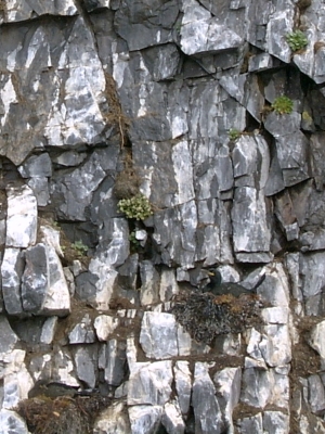 |
| Cormorant nest |
One of the most enjoyable things we did in Iceland was a “nature-watching” cruise around the coast and small islands of Breiðafjörður.
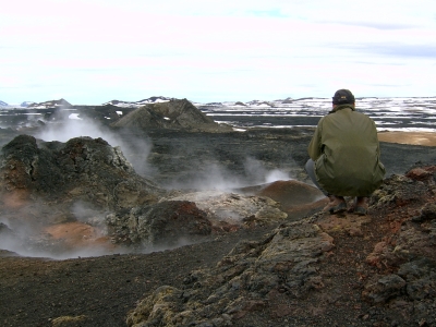
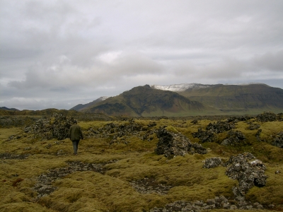
While the inlands are largely empty, the coasts of Iceland are very much alive. The large bay of Breiðafjörður in north-west Iceland is said to be one of the most bird-rich areas in Europe. It has shallow mud flats with lots of food, as well as thousands of islands and islets and a long coastline, offering good nesting grounds. I’m sure the lack of human activity helps as well.
Iceland’s most eye-catching bird is definitely the puffin, Fratercula arctica. And they really do look just as odd in real life as they do in photos. What the photos don’t tell you – although the birds’ body shape is a hint – is how unsuited puffins are to flying. They somehow seemed like mutant penguins who were good swimmers, and had now barely learned the art of flight. They need a good-sized runway to take off, as they trot along the ground or the water and frantically flap their wings to get airborne. Once in the air they look like chubby barrels with wings attached.
Around 3 million pairs of puffins breed in Iceland every year. That’s six million breeding birds! They live in colonies; we mostly saw them on small grassy islets that they had taken over more or less completely, to the exclusion of other birds.
Other common birds from the auk family were black guillemots (Cepphus grylle), shags (Phalacrocorax aristotelis) and cormorants (Phalacrocorax carbo). We mostly saw guillemots on the water, fishing, while shags and cormorants were easier to spot in flight or on the nest.
The species we saw most of was the fulmar (Fulmarus glacialis). They are called “storm birds” in both Swedish and Estonian (stormfågel, jää-tormilind) and I found that very fitting. At first glance they appear similar to gulls, but when you look closer, they have a more raptor-like build, straighter wings, and they move differently in flight. Unlike puffins, flight is the natural state of these birds, and we rarely saw them doing anything else. They were quite confident and unafraid of our boat, and flew in very close. Their flight was about as distinctive as that of puffins, but in a different way: very controlled and efficient gliding, utilising the wind, often just above the surface, with only a few occasional beats of the wings.
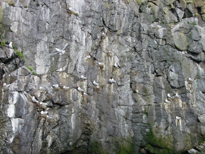 |
| Nesting kittiwakes |
The kittiwake (Rissa tridactyla), another gull-like bird, is not called a gull in English, but is considered a gull in both Swedish and Estonian. We mostly saw them nesting, which they did on minuscule ledges on vertical cliff faces. Indeed, their Estonian name is “cliff gull” (kaljukajakas).
Other birds we saw quite a lot of included eiders (Somateria mollissima) and Arctic terns (Sterna paradisaea – this one migrates between the Arctic and the Antarctic every year!). Finally, the trip concluded with what was obviously the official highlight: passing by the nest of a pair of white-tailed eagles.