Today was a beautiful day with sunlight and bright blue skies, so I wanted out. Eric is away on a business trip but Ingrid and Adrian came with me when I said I was going.

We drove to Hellasgården and walked along some of the trails there. The morning was chilly but by lunchtime I was sweating underneath all my layers.

Plenty of other people had had the same idea: as time passed, the paths got more and more crowded. I added some detours to our planned path to get away from the main routes, because it was getting to the point where I felt like I was on a city street, with people and prams and dogs everywhere. I’m glad we went out early(ish) and I’m glad I didn’t listen to the kids’ mild grumbling when I suggested the detours.


I haven’t been outdoors properly since September. There’s always been something else that needs to be done, or I’ve been tired, or the weather has been crap.

I’ve given up hopes of a sunny day of walking (maybe even some snow!) when I could actually enjoy the scenery, perhaps take some nice photos. I just went out walking today for pure exercise. Ursvik, 10 km marked trail, just walk. At least it’s been cold enough to freeze the muddy ground so the paths were solid and not mucky. But the cloud cover was so thick that it was barely light in the middle of the day and the lamps along the trail were lit even at noon.


Stensdalen to Vålådalen, 14 km.

I slept unusually well this night. Usually I go to bed early when I’m hiking because I’m tired in the evening and there’s nothing much to do in the hut, and then I wake at six. Today I slept all the way until seven.

As I stepped onto the terrace outside the Stensdalen hut in the morning, I noticed that a mountain had disappeared. Yesterday evening there was a mountain there. This morning the mountain was gone from view, hidden in a thick layer of mist. (This is the same view as in the last photo in yesterday’s post.)

Some of the hikers were grumbling about the mist and how there wouldn’t be any views from the trail today. Apparently the first half of the trail from here to Vålådalen, which is what I’ll be walking today, is supposed to have the most beautiful views in this area. Personally I’m just happy to not get rained upon all day! A bit of mist is fine with me. It isn’t even windy today.

I realized this morning that I never took a photo of the Tvärån yesterday at the spot where I couldn’t cross it. I was too busy not crossing it. As luck would have it, I crossed another river this morning that was very similar in size and character and overall feel. This one had a solid steel bridge across it. It rather makes sense when you look at that river, doesn’t it? This is not a river that makes you think that a bridge would be an unnecessary luxury and people can just wade across.


The weather was wet and cold and the morning mist hung around for along time. I could guess where those ordinarily beautiful views might be, but the visibility was really limited. But this was a very beautiful walk, despite and also because of the mist. Everything was muffled and quiet.


Here’s me enjoying a midmorning cup of hot blackcurrant cordial and a view of the mist, which was just beginning to lift at around this time, eleven o’clock or thereabouts. If you’re wondering why it looks like I’m walking without a rucksack, it’s because the rucksack was acting as camera support for this self-portrait.


Once the mist disappeared, the air was very crisp and clear and I could finally get some macro photos. The other days weren’t macro-friendly at all, with all the rain and wind.

This is bog blueberry or bog bilberry (odon) which is a common shrub in the mountains hereabouts. Bog bilberry is what gives the alpine heaths much of their soft red colour. Dwarf birch is more of a fiery orange-red while alpine bearberry (ripbär) adds purplish-red accents here and there.

The path today went steadily downhill. Around midday the open heaths and alpine birch forest ended and I was in spruce forest.

The paths were very muddy and wet nearly everywhere and there were wide boggy patches to either splash through, or to cross by hopping from tussock to tussock. The plank paths were again in very bad shape and missing entirely in places that really needed them.

As I walked further, I started recognizing familiar places – I was reaching parts of the trail that I’ve walked on my previous trips here but in the other direction. I was also nearing civilization and seeing more people on the trail than during the past few days.

I didn’t miss civilization at all yet. Since I had a margin of several hours before the bus would leave and only two more kilometres to walk, I stopped for a long lunch break next to a beautiful lake. It wasn’t exactly warm but at least not freezing cold. And there was still no rain!


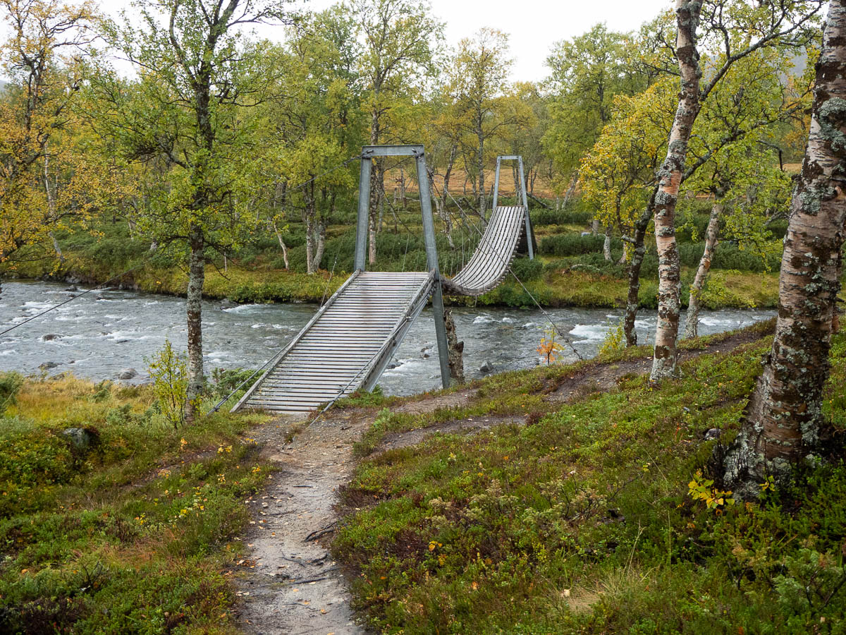
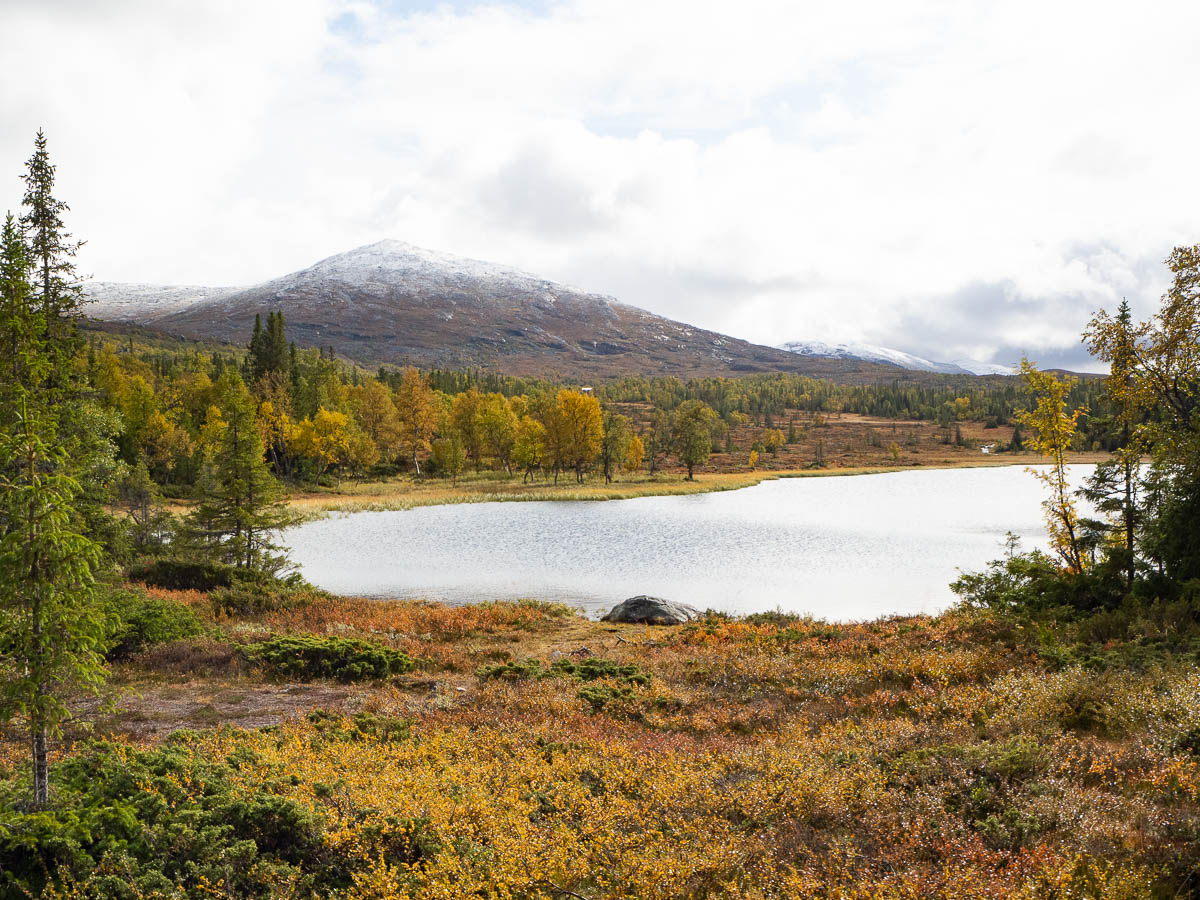
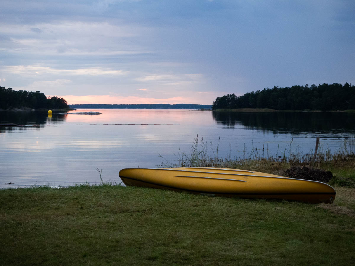
Vålåstugan to Stensdalen. 18.5 km due to long detours.

The night was incredibly windy. Air vents in all rooms rattled constantly, and the trek to the loo was a struggle, not to mention the longer trek to fetch water.

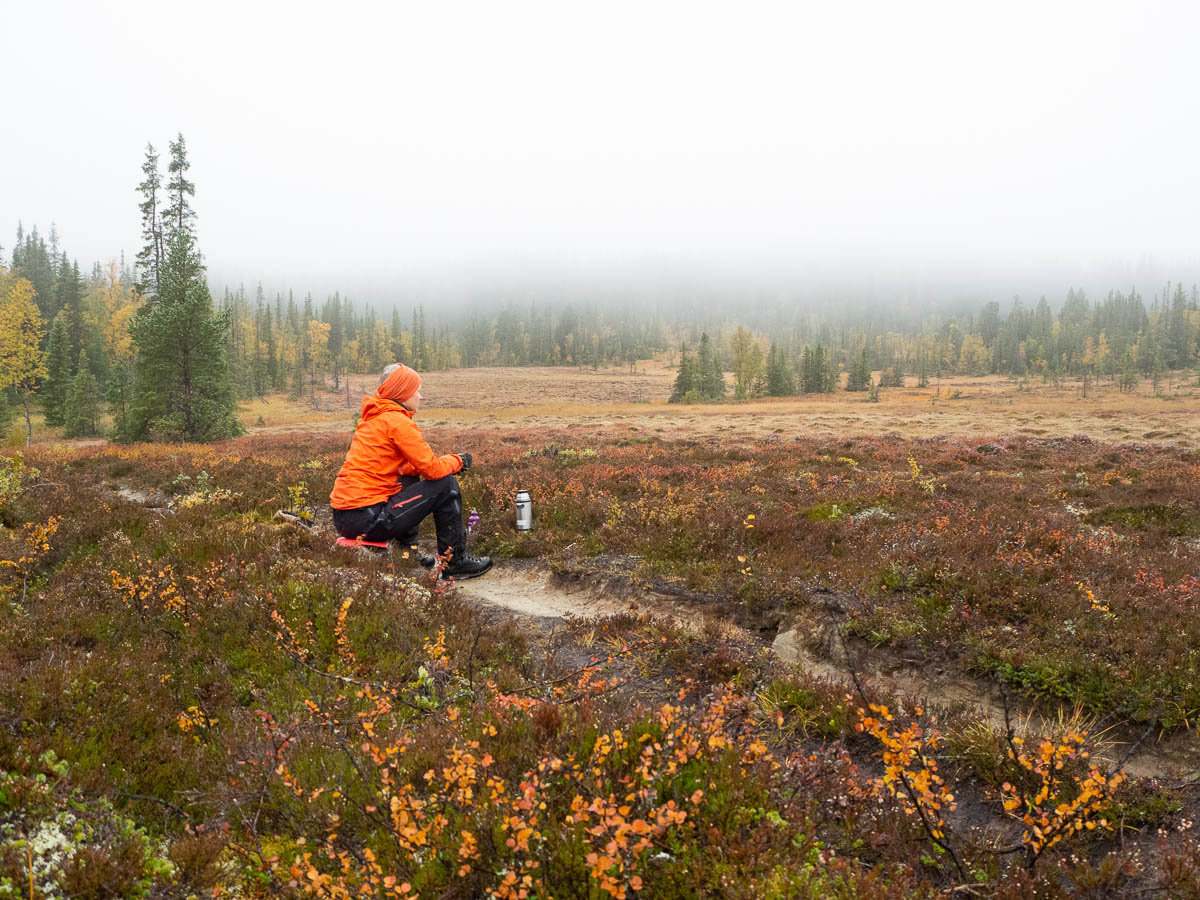
The weather report promised that the wind would slacken in the morning but this never happened. The gusts were strong enough to nearly blow me off my feet; at times I was literally blown several steps off course and had to plant my pole to stay standing.

Speaking of poles, one of my walking poles stopped working. I couldn’t fix it in the extended position – it just kept collapsing. Forced to walk with a single pole, I realized that I liked this even better. With one pole I still get the balance and support, but at the same time I always have one hand free for the camera or a hankie or a snack. So I’m not going to buy a new pair of poles as I had initially planned – I’ll just keep walking with the one pole that still works.

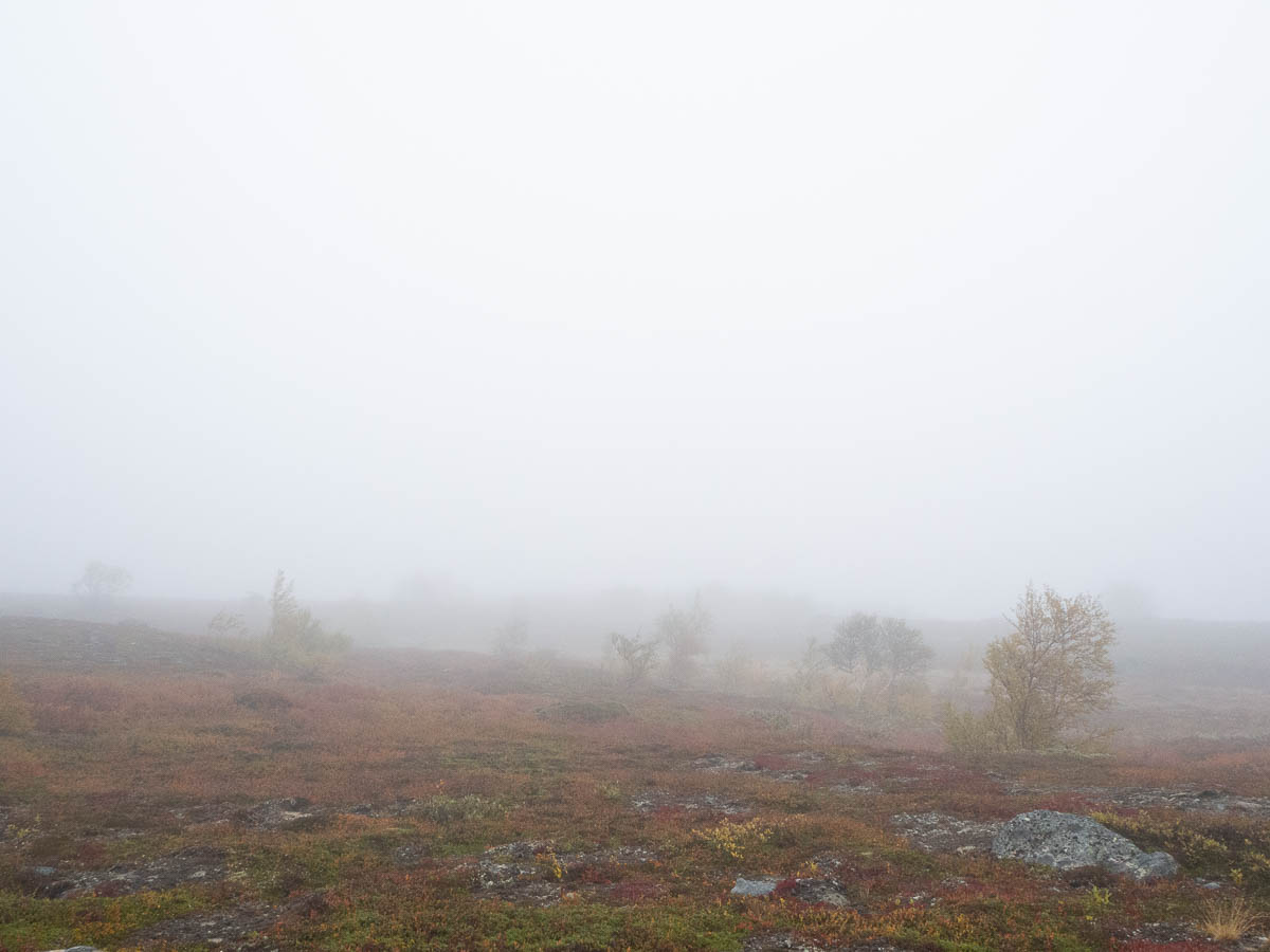
The weather report also promised that there wouldn’t be any rain. That may have been technically correct; maybe it was just the cloud that was hanging all the way to the ground. In any case I could see sheets of wetness blowing through the air. The air was saturated with water and so was I.


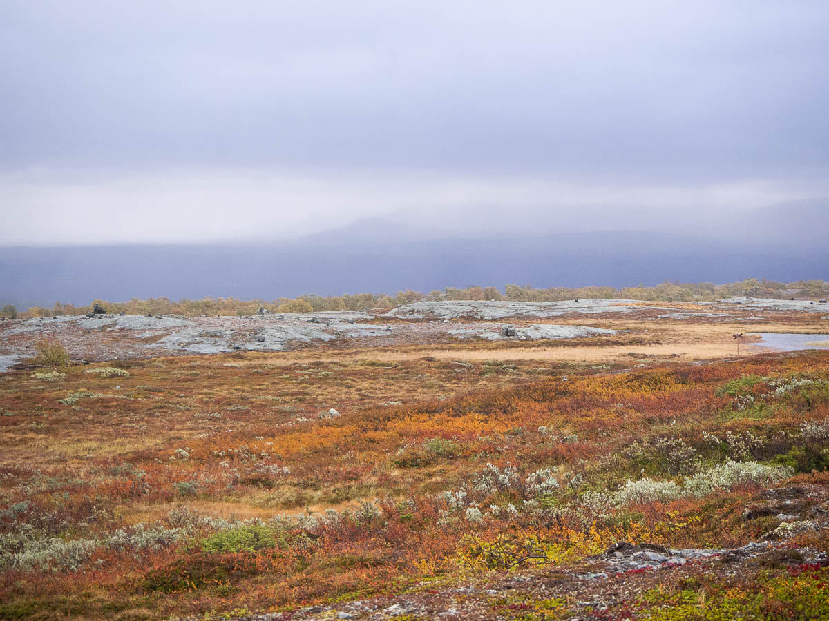
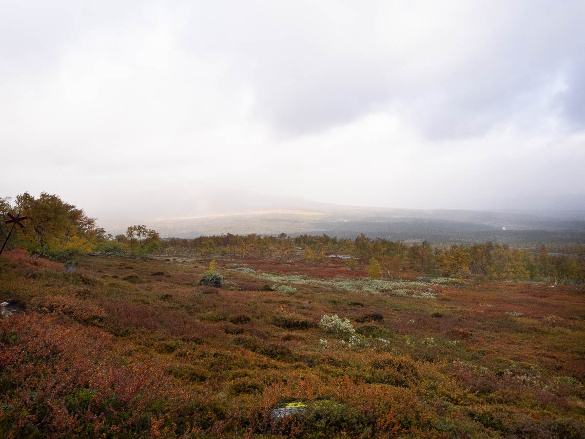
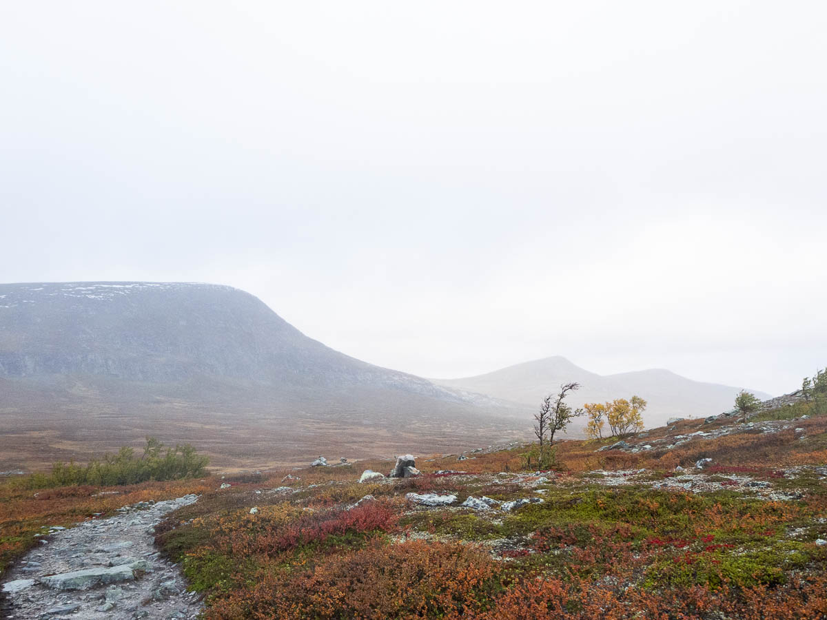
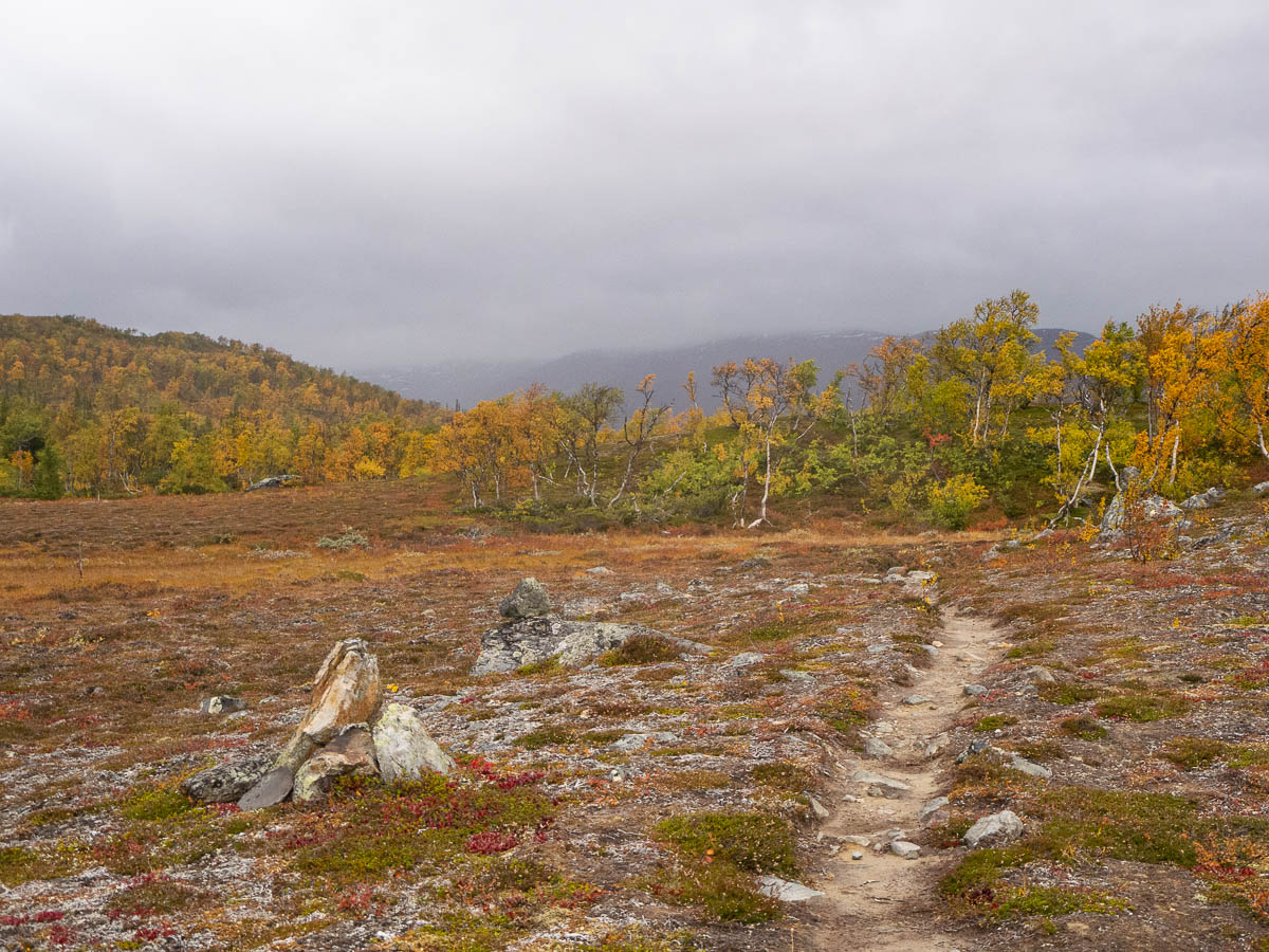
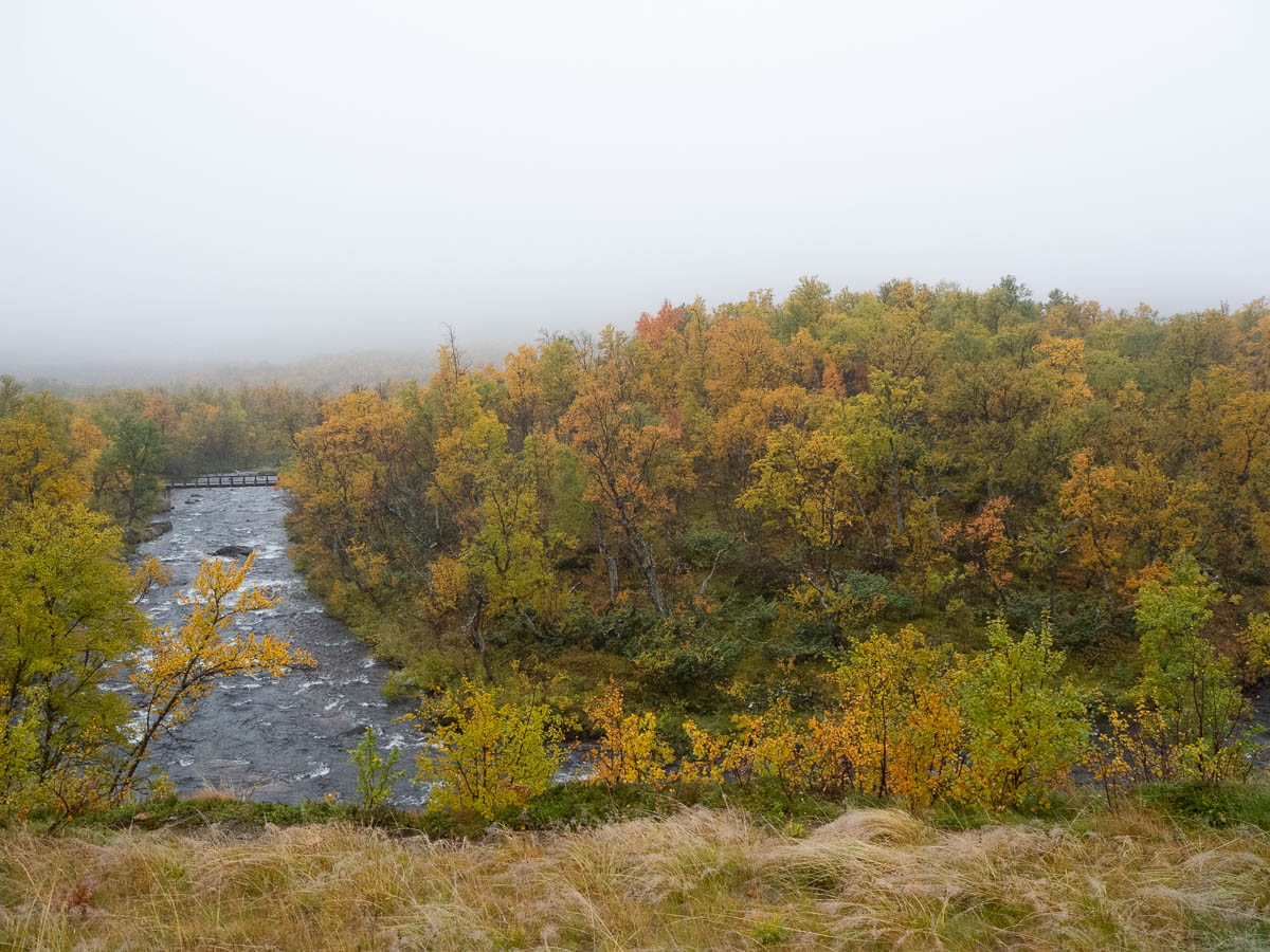
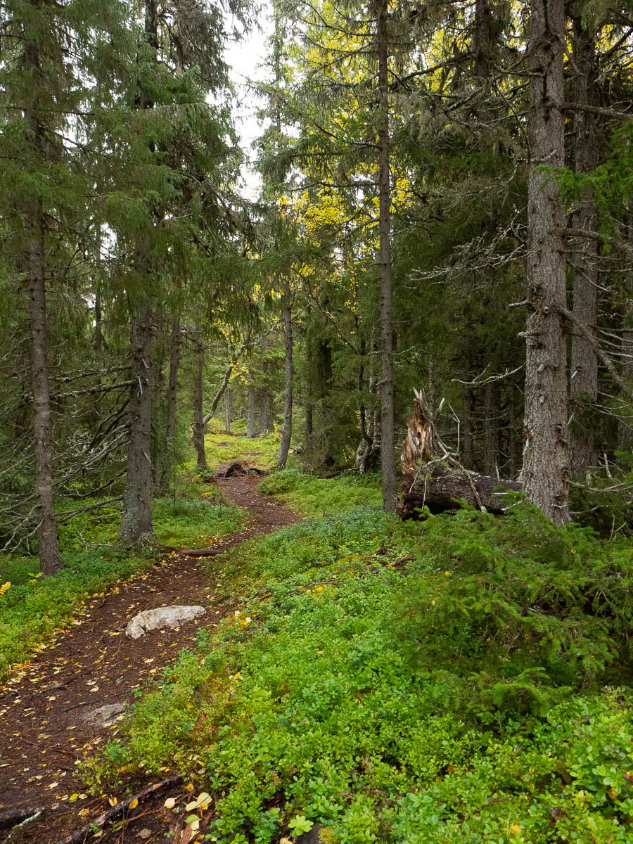
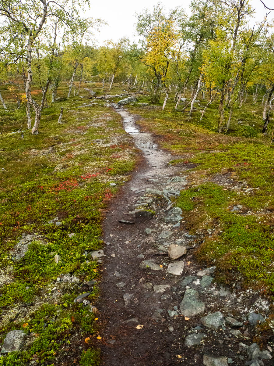
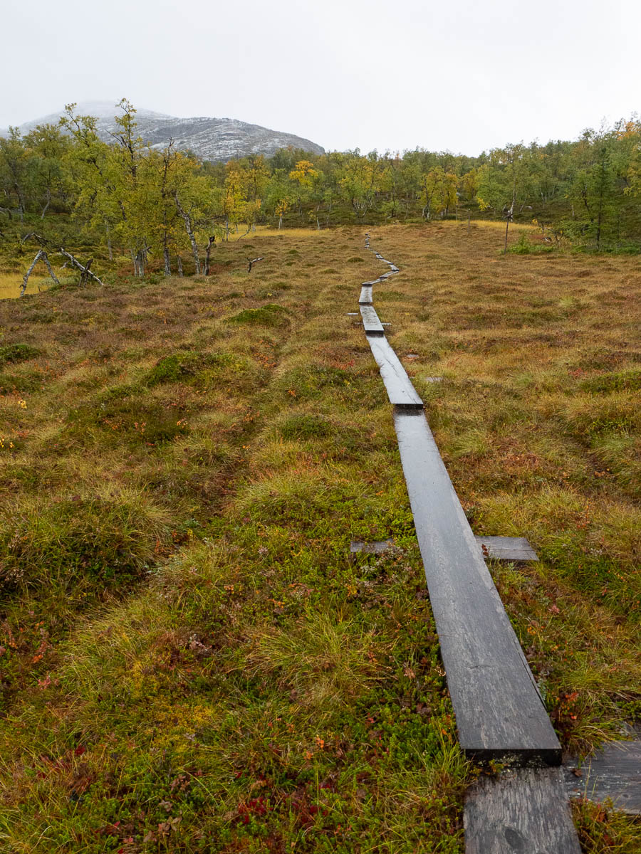
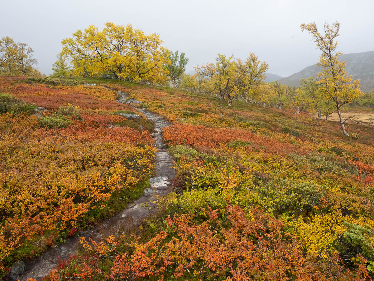
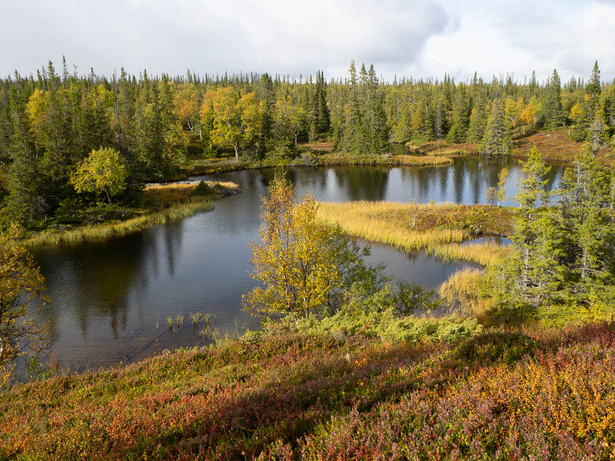
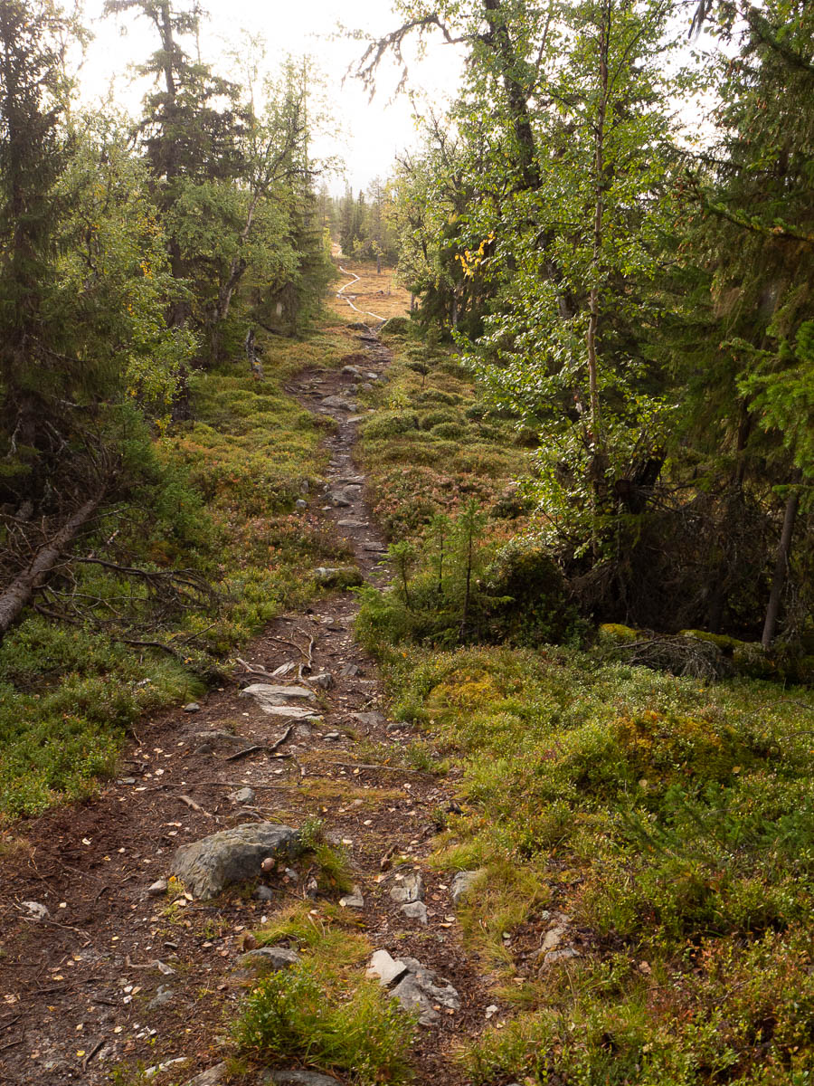
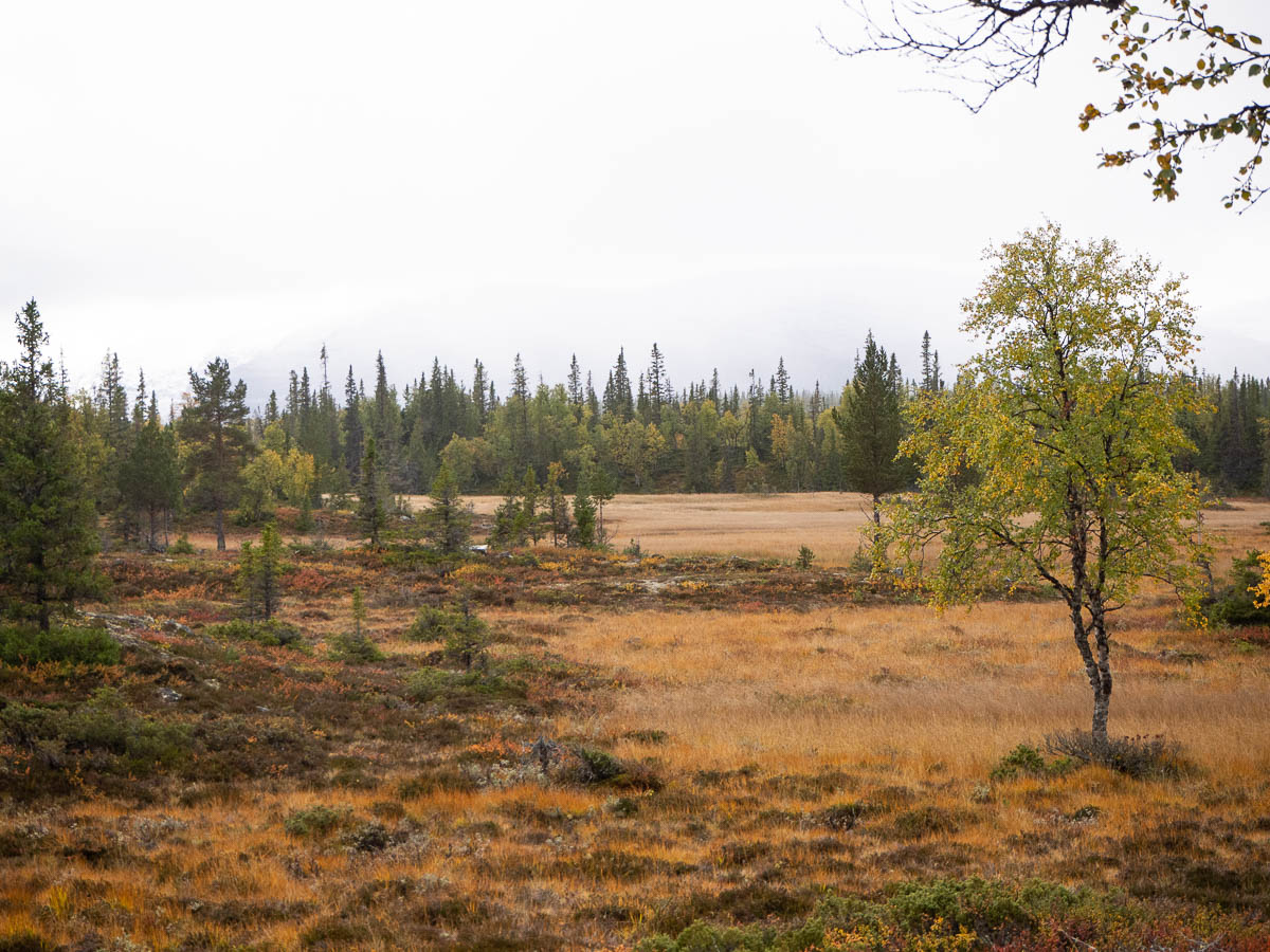
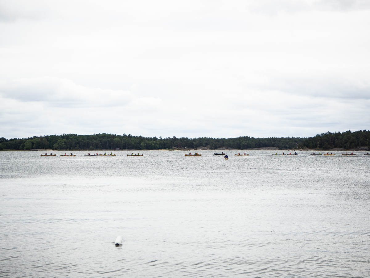
The first half of this walk crosses the same empty plateau that I’ve usually walked across during the afternoon of my first day, but in the other direction. The trail then descends to below the tree line and continues through alpine birch forest.

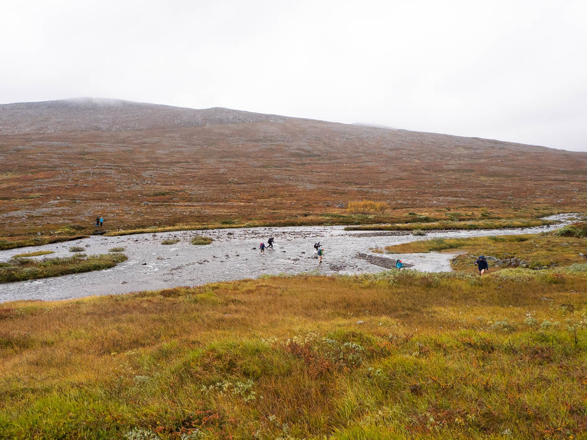
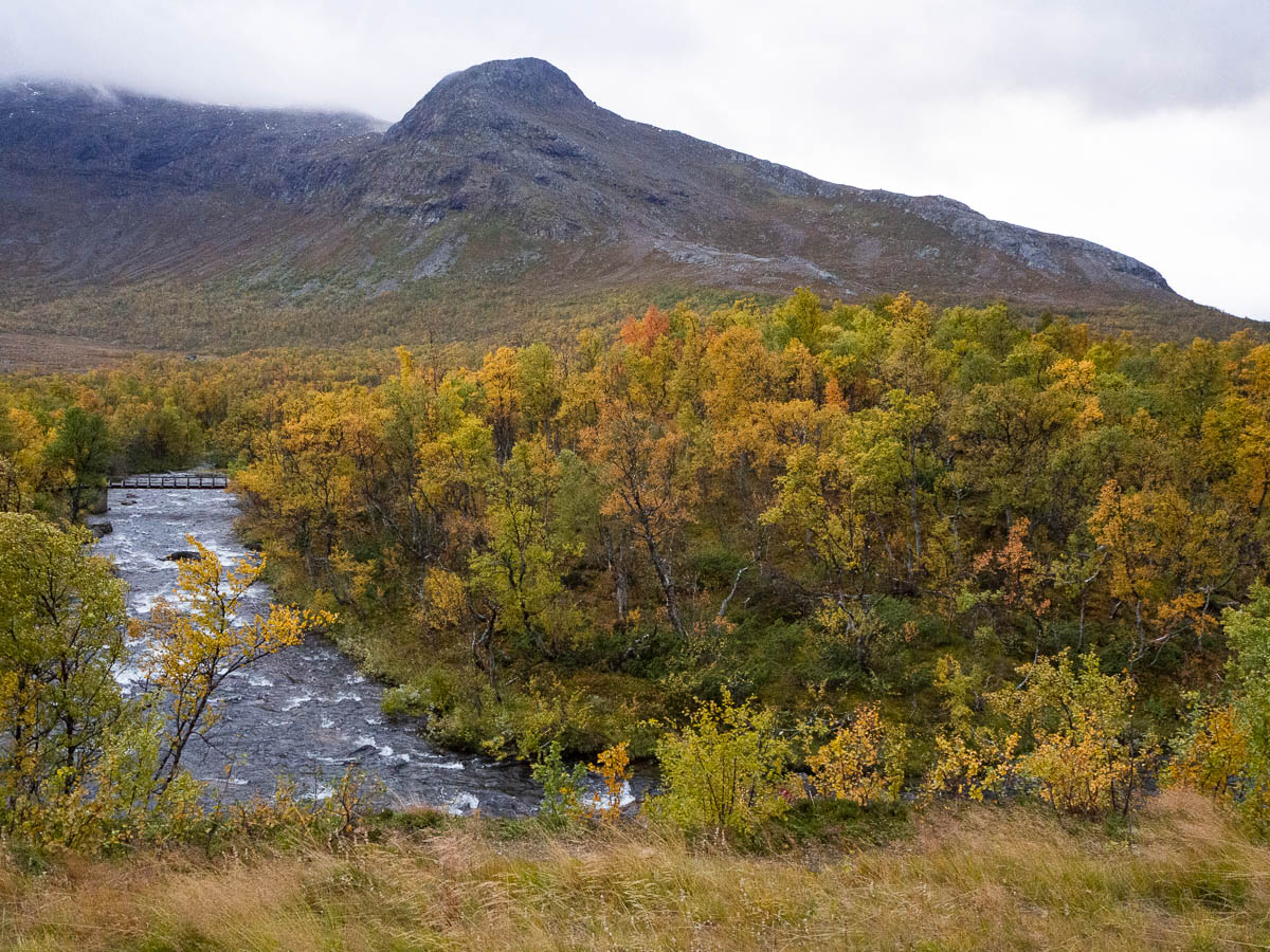
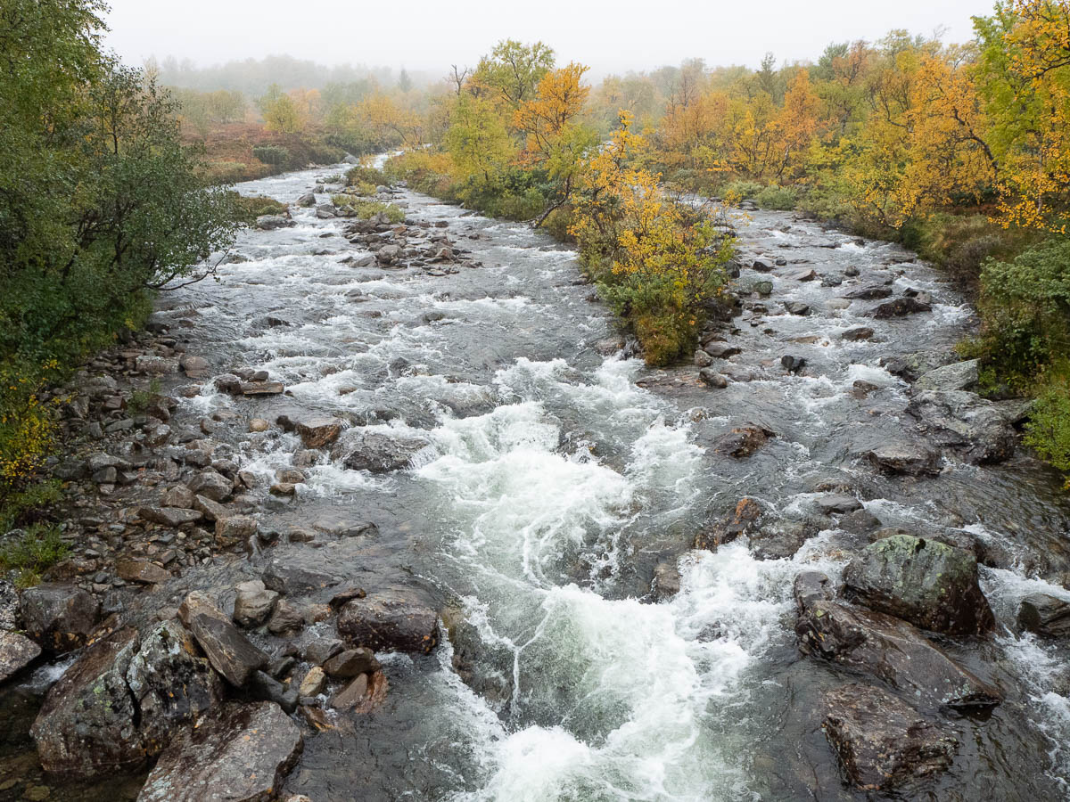
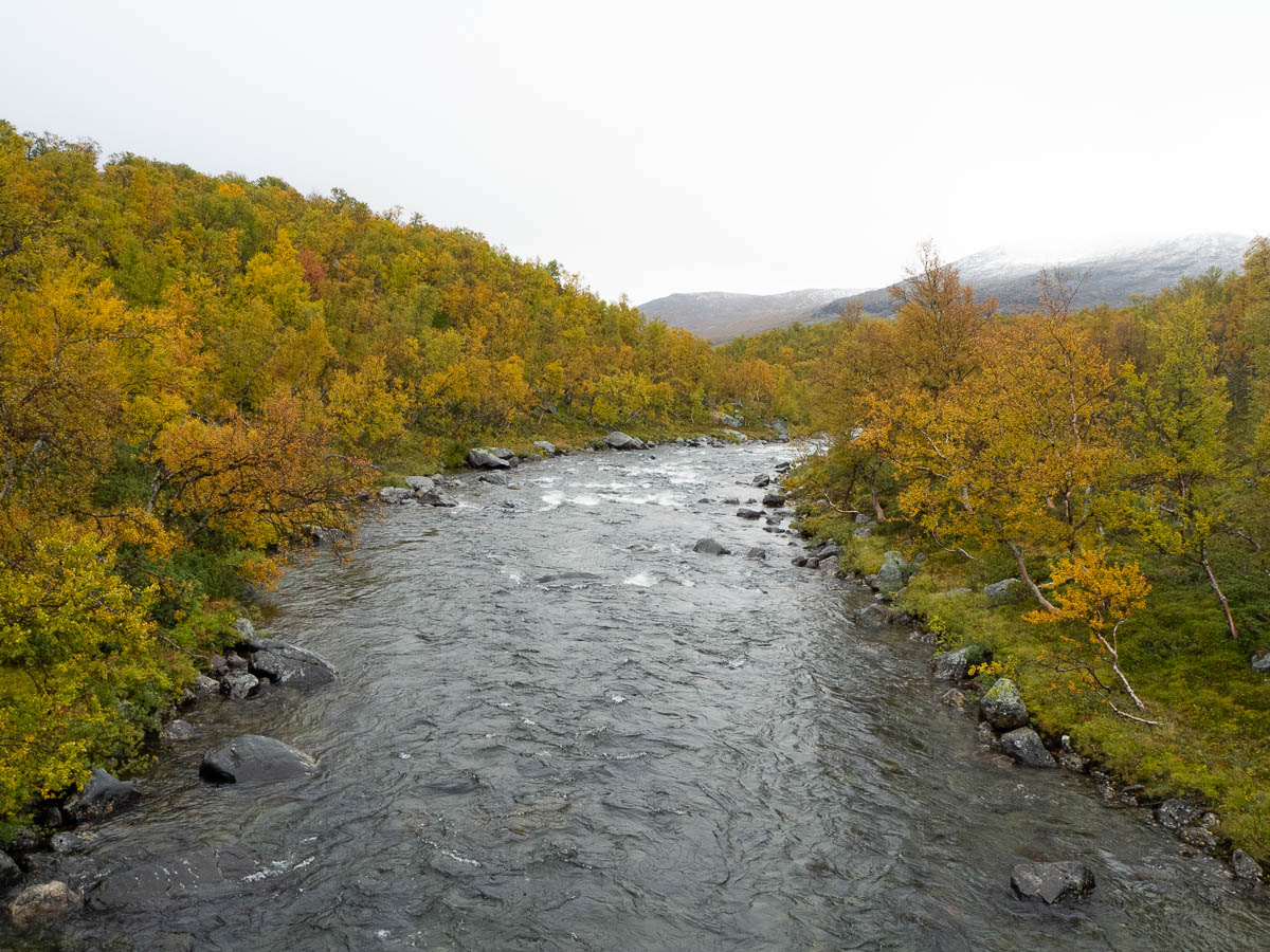
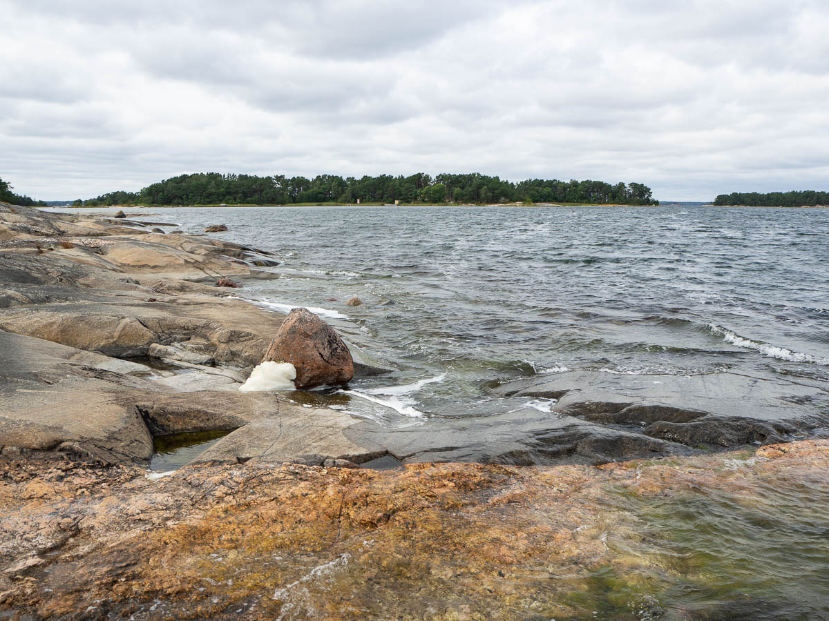
About halfway there is a river, the Tvärån, to cross. When I got to the river I was immediately taken aback by its size and strength. This did not look like a river to wade through. The water looked deep and was flowing very fast, and there river bottom looked very uneven. I walked upstream along the river for a good while, looking for a better place, but wherever I thought I saw a promising spot, it turned out to be just as bad as all the other places when I got closer. So I gave up searching and went back to the original spot.

A couple of other hikers had just crossed the river there and pointed out the spot where they had crossed. Since I have very limited experience of fording rivers, I guessed that maybe they knew more about this, and maybe it wasn’t as bad as it looked. So I set out to do wade across in the same place.

I was barely a few steps into the water when I realized that this was not a good idea. The water was up to my hips and the flow of it was very, very strong. Were I to lift just one of my feet to take a step forward, I would simply be pushed off my feet. I have no idea how those other ladies managed to do this, and how they could have thought that this made sense! Once you lose your balance even the slightest bit, when the flow of water is so strong there is no way of regaining your balance. You’ll be off your feet, tumbling down the river between those rocks until they stop you. You can of course slip and fall in shallower water as well, but then at least you’ll be able to keep your head above the water, regardless of which way you fall. Whereas in hip deep water, you’ll be lucky to get a breath at all while you’re tumbling downstream.

Anyway, I turned around and was luckily able to make it back to the shore without falling.

I think I had probably spent about an hour at this river by now, and gotten nowhere. Just as I was feeling rather lost, more hikers caught up with me, and then even more. One of them shared information they had heard earlier from hikers going in the other direction, who had forded the river much further upstream. Based on their description (“small islands in the river”) and our maps, we figured out where that spot was, and then we set out walking upstream again. If nothing else, we agreed, the river would get smaller – based on the maps it seemed to become a stream a few kilometres up.

Nearly two kilometres from where the path met the river, we found the ford that the others had described, and it was clearly a much better place for crossing. The water was still strong and fast but the riverbed was much wider and more even. As a result the water barely reached my knees. Wading still took concentration, but never actually felt like a risky enterprise.

From this point there was first some more trackless walking to get back downstream to where the path was. This was fun: instead of just following the path, I had to think about where I should be walking, both on a large scale (which direction) and a small one (where to actually put my feet). After all, if I was off the path anyway, there was no point in walking back straight along the river when I could instead cut straight across the heath and rejoin the path further along. I even took out my map and compass, which I haven’t otherwise needed and only had with me “just in case”.

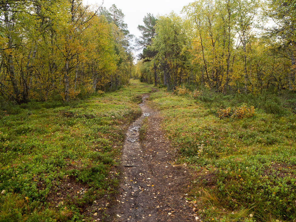
The path then went steadily downhill through a birch forest. When I neared the hut, there was another wide river to ford, but here the path met the river at a suitable place and I had no trouble getting across.

The one and only river I had forded before today (which I did two years ago) was so small that I went across barefoot. Here the river was so much wider that I thought that might be unwise, so I waded in my boots, which then naturally got completely waterlogged. The wet socks and boots still kept my feet quite warm, but were somewhat uncomfortable. For next year, I’ll have to buy some kind of extra shoes for wading. I’ve seen some people wade in Crocs, and others have lightweight running shoes.

The weather never got any better and I never stopped for an actual lunch, so by the time I got to the hut I was cold and starving again. I finally got my lunch at half past three.

The Stensdalen hut boasts beautiful views and is quite modern and comfortable. (The old hut here burned down and was replaced, so this one is barely ten years old.) The rooms are large and light and airy compared to the older huts, and the kitchen is very spacious. There’s even lighting, with electricity supplied by solar cells. It’s convenient, but it lacks the cozy charm of the older huts, so I didn’t really feel at home here.


Continuing from Lunndörren to Vålåstugan, 16 km. Beautiful colors everywhere.

There were patches of sparse birch forest here and there but otherwise today’s walk went mostly over bog and open heath. This area is also criss-crossed by a lot of rivers and streams: I counted four actual bridges, one fallen tree, and plenty of small footbridges.

There was a lot of bog to cross, and the plank paths across the bogs were in disgracefully bad shape. Missing planks, broken planks, saggy planks… In the worst places the planks just served as an easy channel for the bog water, so the path became a stream and I was walking through water deep enough to cover the foot of my boots. It was better than no path at all, because at least my feet were not sinking into the mud. But my feet were already quite wet before I had even come halfway.

The weather today was wet and cold – above freezing, but not by much. A light rain fell through the entire day. Around midday the wind started picking up and by the afternoon the gusts were around 20 m/s. Wise from last year’s snowy weather, I had brought my wooly winter hat and thick mittens and was very glad to have them. My waterproof layers did their job so apart from my feet I was mostly dry, but the constant cold wind was chilling. I wasn’t actually cold at any point because I kept moving (and had I been wearing any more layers I would have been sweating) but I could feel my body heat leaking away.

I stopped for a very brief snack break behind the same lone rock as last year. It is so conveniently situated right at the halfway point between these two huts, and it is literally the only thing I saw all day that is large enough to offer shelter from the wind. With its little overhang it even protected me from the rain (which was falling diagonally because of the wind). But it was still far from pleasant there so I kept my break short – just a flapjack and some hot drink – and kept on walking instead. Better to get to the hut sooner and get a proper meal there.

Towards the end of today’s walk I thought several times that I recognized the place and was nearly there, but behind each softly undulating hill there was another, very similar one. By the end I was running low on blood sugar and I was quite happy to arrive at the hut. The first thing I did was to hang up all my wet things to dry; the second thing was to finally eat lunch.

Today’s wildlife: a small group of reindeer, large flocks of what may have been common redpolls, and a beautiful bird that I guess must have been a Siberian jay. In the photos that Google finds for me, the Siberian jay looks grayish brown, but the one I saw had shades of green in its plumage, almost iridescent when the light hit it right. Wikipedia has an old picture of Siberian jays where the birds look a lot more like the impression I got, though, so I guess that’s what it must have been.


Vålådalen to Lunndörren, 12.5 km.

For the third year in a row I’m doing a four-day autumn hike in Jämtland, starting from Vålådalen.

I’ve been here twice already. It’s not like Sweden doesn’t have any other scenic places where I could hike, so I spent quite a bit of time looking for alternatives this year. But if I want a hut-to-hut hike (which I do) that is about four or five days long (which is what I can get from work) and is reachable by train and bus (which is also important to me) then there is not a lot to choose from. And this is a very beautiful national park, and it’s not like I’m tired of it yet, so I’m perfectly fine with coming here again.

I did change around my route though. The past two years I’ve tried to get as far into the high mountains as quickly as possible, which meant walking from Vålådalen to Vålåstugan on the first day. That’s a lot of walking with a lot of uphill, which is rather heavy for the first day, when my legs are not yet used to walking and my pack is heavy.

This time I went for a shorter option for the first day and walked from Vålådalen to Lunndörren instead. This walk is also nearly all uphill, but so is every other option from here. This was the final bit of last year’s hike but now I’m doing it in reverse.

Most of this walk went through alpine forest of spruce and alpine birch, with occasional more open areas of bog and small lakes.

The weather was very changeable and unsettled, like the epitome of mountain weather. One moment the sky was mostly blue and literally a few minutes later it was overcast and snowing. The clouds didn’t so much arrive as appear out of thin air, as some mass of air met some other mass of air and hey presto, precipitation. At times I think there was snow coming out of nowhere, from a clear sky.

There were short moments of dry weather but those passed quickly. Most of the time, some kind of cold water was falling from the sky. There was rain and there was snow and sleet and hail, and combinations of those.

I sat down for a lunch break at one point when I thought the dry weather might hold for more than a few minutes, but it didn’t, and I ate the rest of my boiled egg while walking.

The forest here is quiet, without much birdsong or other sounds. I did scare a bunch of grouse into flight and was surprised by how noisy they were.


The Lunndörren hut is a lovely, cosy hut in an incredibly scenic location, right next to a lake with mountain views across it. The sauna is literally a few steps away from a bathing spot. (Which I didn’t try out, because much of the point of going to a sauna in this weather is to get warm, and bathing in an ice cold lake doesn’t really help with that.)


Today was a hot day. Ingrid and I took an ice cream break in the afternoon.

In the evening, after making a gazillion packed lunches for tomorrow’s trip home, and packing up box after box of kitchen gear, I took another long walk. I haven’t quite walked full circle around the island, mostly because some parts of the coastline are not walkable. But today I filled in some gaps in the central and northern part of it.

Nice, but that rocky coast I saw on my first walk here was still the best.

Back at the camp one of the leaders had baked fresh bread from the morning’s leftover porridge. Yum.


I had a free afternoon and I used it to get myself clean.

My hike around the western end of Husarö a few days ago showed me that that part of the island was effectively deserted. So today I walked back to a nice little cove that I discovered then, got naked and washed myself clean.

And then had a nice long swim, still naked. That feeling of freedom was delicious. I haven’t done this in donkey’s years but it was so nice that I may have to find a nude beach next summer.

Wikipedia has an interesting article on the history of nude swimming, by the way.


In the evening I walked away from the camp again to get a self-portrait. Here I am, complete with puffy face (I get that when I’m outdoors and I don’t know why), a scout shirt, a spork in my breast pocket, and a mosquito on my temple.


Five days of camp is deemed enough for the youngest scouts, so Adrian and Eric left for home today. The older scouts meanwhile head out for a hike. Since we are on an island, the means for that hike is canoes. The scouts packed up their gear, plus canvas for setting up shelters wherever they land, plus a lot of food, and off they paddled.

This morning the kitchen crew put in an extra burst of activity and packed meal materials for the hikers. Now there’s almost nothing for us to do. We’ll just be cooking a meal for ourselves and the small handful of camp leaders who stayed behind. After cooking for over two hundred people, twenty people feels like nothing at all.

This meant I had time for another hike of my own. Last time I did the west end of the island so now I headed east. The middle of the island was mostly inhabited and while it was green and pleasant it looked like any other little village (but with no cars). The easternmost end had some windy, rocky headlands with views of other nearby islands. There was no coastal path; the roads and paths were more like fingers on a hand, starting from the middle and reaching out, and ending in the driveway of the last house. So it was harder to walk along the actual coastline than on the west side. Still, a nice walk.


I’ll be cooking dinner today but the other team is in charge of lunch, so I used my free morning to start exploring the island. It’s a small one, so I intend to walk most of it during my time here.

The camp kitchen is at one edge of the camp area. A path goes straight north from the kitchen so I just started following it. When it hit the north coast of the island, I randomly turned left and just thought I’d follow the coast back.

The north and north-west sides of the island were beautiful. The coast was rocky all the way, rather than boggy or wooded, and there were no houses close to the water so I could walk right along the edge. Sometimes it got steep and in a few places I had to go a bit further inland into the pine forest, but soon there was an opening again and I could walk in the open.

I have an app on my phone called Geotracker that I use for tracing my walks. It’s fun to see how far I’ve walked, and how much up and down. On trackless, planless walks like this, the app is also really useful because it gives me a good idea of how far I’ve gone and when I’m likely to be back. I may not be cooking lunch but I still need to be back in time to eat it!

On the south side of the island in a sheltered little cove I spotted a strange plant in the water. It’s like a fluffy mat of seaweed with little white flowers. I’ve never seen a floating, flowering plant before.


PS: I found out that the floating plant was probably Ranunculus peltatus (Water-crowfoot, särjesilm, sköldmöja.)