Nävekvarn to Nävsjön, 12 km – Sörmlandsleden stage 36.
My progress with the Sörmlandsleden trail is currently limited by transport options. Getting to Nävekvarn took almost four hours and involved four legs: commuter train, bus replacing ordinary train, train, and another bus.
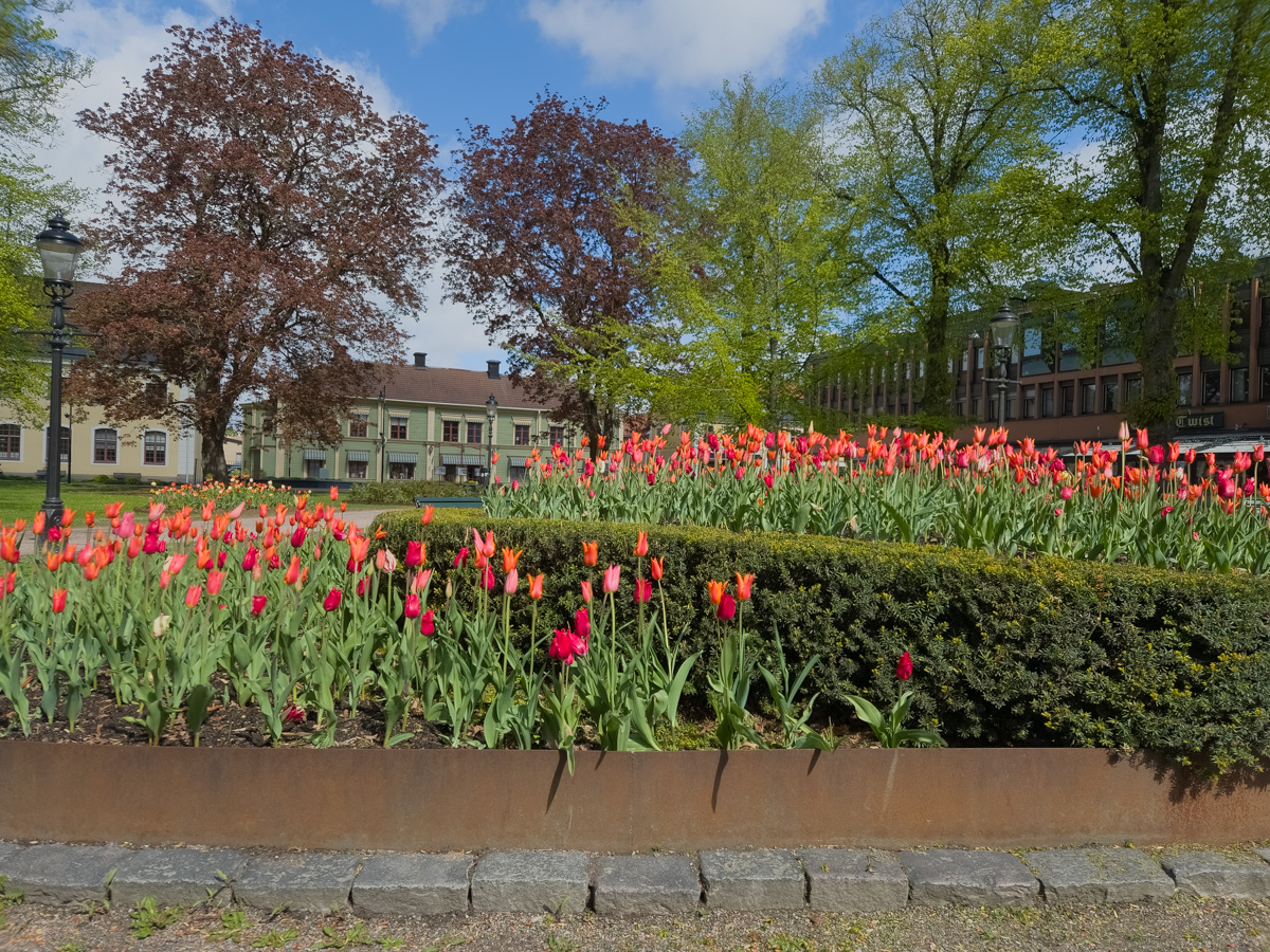
For similar reasons, I’m starting this hike in Nävekvarn and walking backwards to Kolmården. The travel options to and from Nävekvarn gave me 4 different choices, arriving at three-hour intervals. Whereas Kolmården is a popular destination and has buses at least every half-hour Walking the “right” way and arriving in Nävekvarn on the last day and then having to wait 3 hours to get on a bus did not sound convenient at all. Now I just had a 40-minute pause in Nyköping, with a view of Nyköping central park.
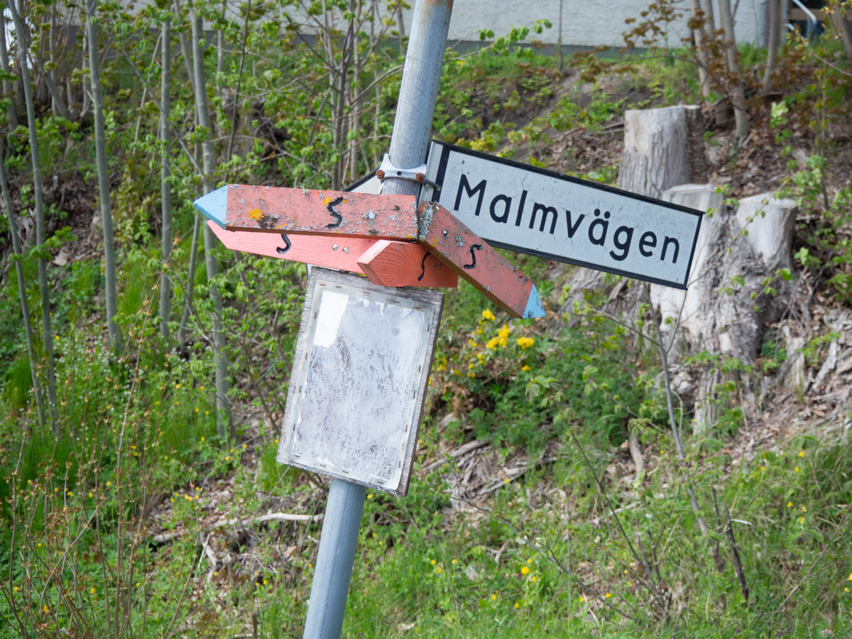
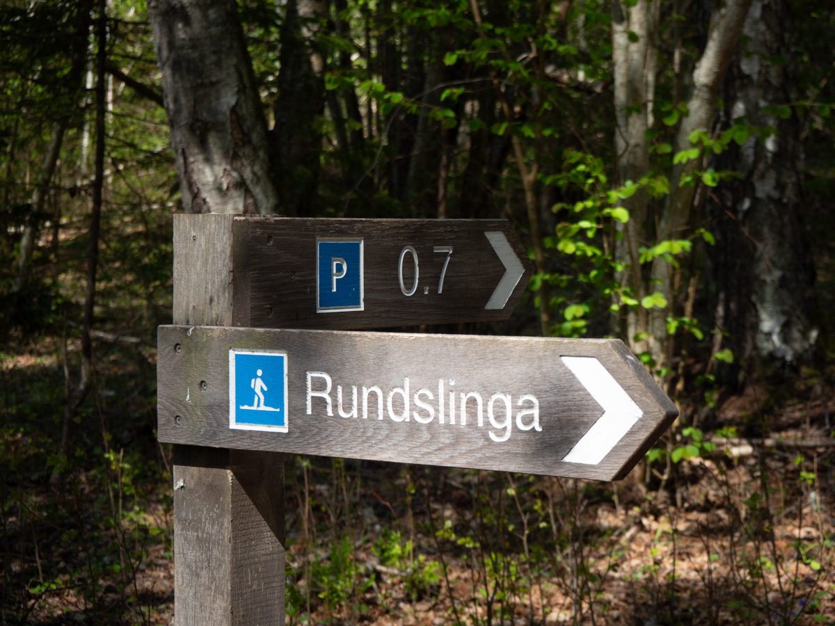
I didn’t spot the information boards that are always there at the start of each stage of the trail. The first signs of trail markings that I saw was this extraordinarily sad-looking signpost. Would this be symptomatic of the whole day? Scruffy signs along the edges of small-town streets?
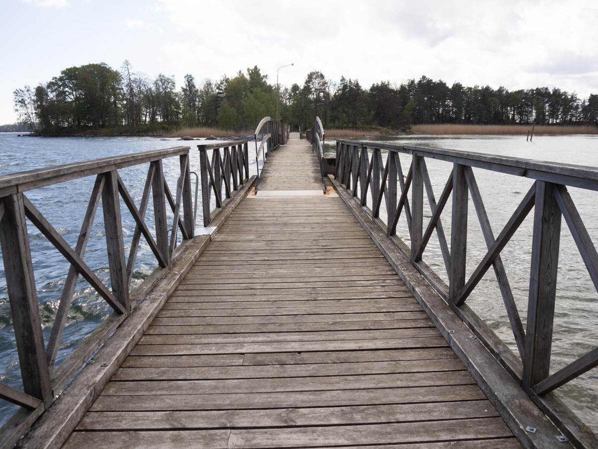
Indeed not. Even before I left Nävekvarn, the trail took a detour to make a loop around the small island of Skäret, just for the scenic views. If you look for Nävekvarn on a high-level map of Sweden, it’s inland and looks to be far from the sea. But Nävekvarn (and Kolmården) are situated on the northern coast of Bråviken, a long and narrow bay in the Baltic sea.
The weather was very changeable, and with the trail going in and out of trees, I was constantly adjusting my clothes. Sunglasses on, sunglasses off. Zipper up, zipper down. Hands tucked into pockets, hands out.
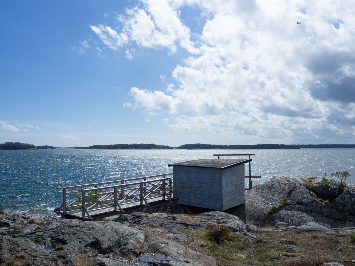
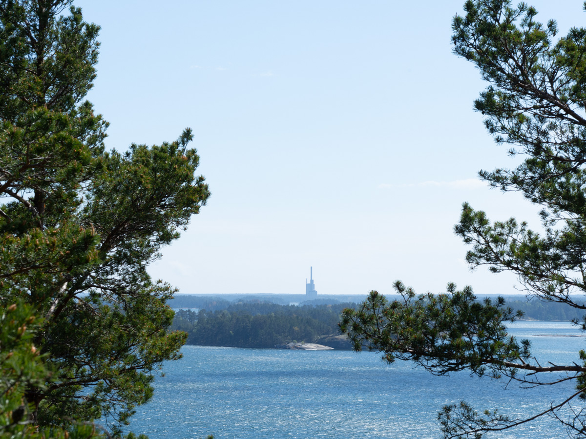
After Skäret the trail climbed up onto a high cliff, with even wider views that are marketed as fabulous. They were wide, but not very interesting – there was mostly just unbroken sea to look at, and a thickly forested shore on the other side. The only interesting bit – something for the eyes to catch on – was the old Marviken power station on the other side of the water.
The trail swung away from the coast and into forest. The forests here are protected so it was lovely walking. Never very far from roads, but apart from a few signposts here and there, it felt like civilization was distant.
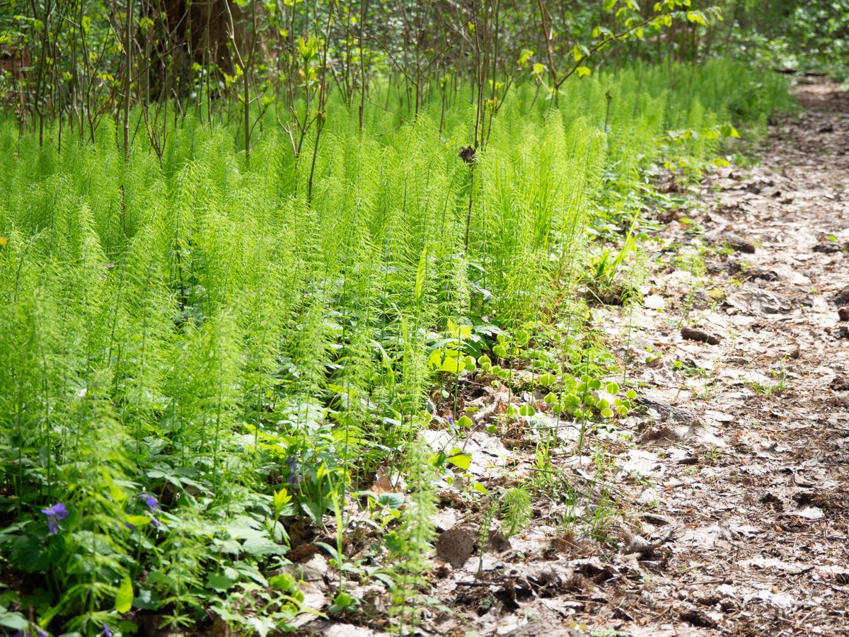
The forest was all lush and green. May is the most beautiful time of the year. Everything is fresh and full of new life.
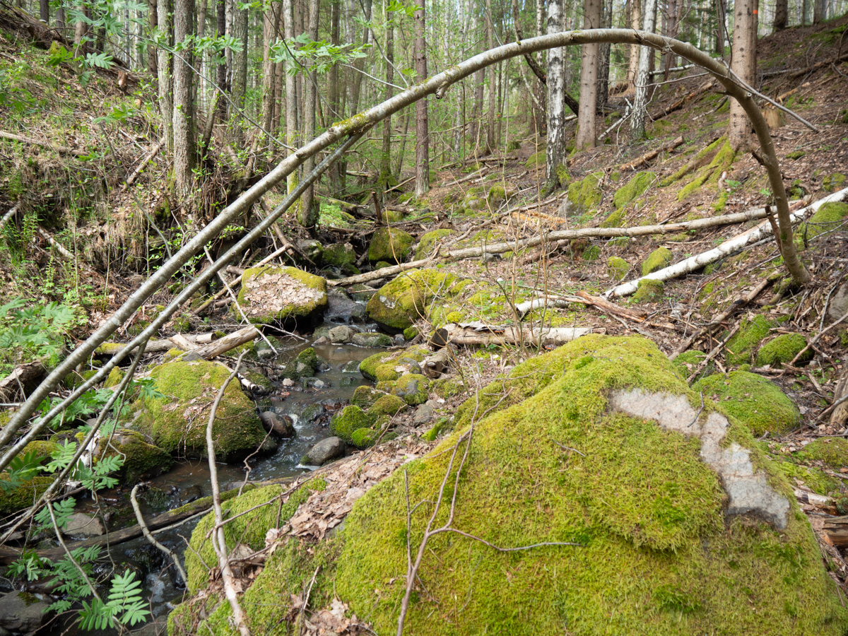
There were many small rocky streams. A few larger ones had supported small local ironworks in the 17th century. Including the river in Nävekvarn – “kvarn” means “mill”, and the water mill there used to power bellows for smelting iron.
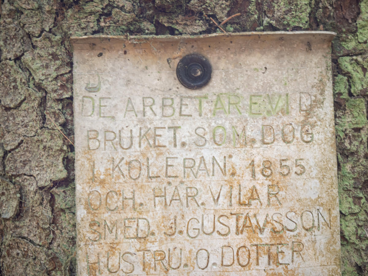
A cemetery for victims of a cholera epidemic in 1855. Th only signs of it existing were old, hand-made plaques commemorating those buried there. I wonder how old they might be. Not 1855, I guess, but old.
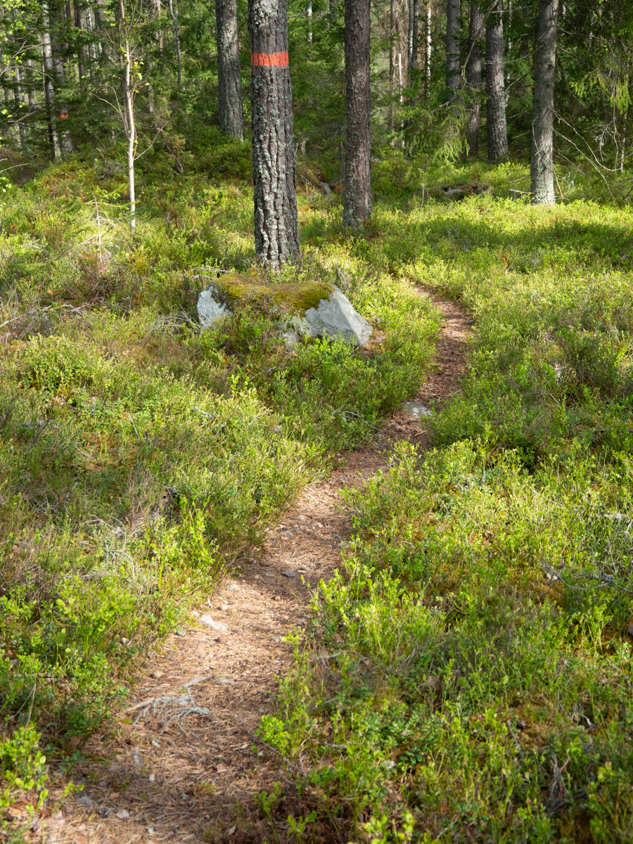
There was a fair amount of the usual Sörmland pine-and-rock-and-bilberry combination.
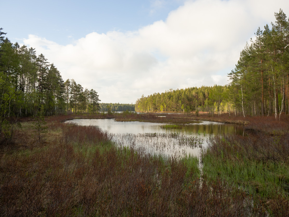
Since I only started after lunchtime, I walked 12 km today, from Nävekvarn to Nävsjön. The main trail goes east of the lake, but there’s an extra circuit around the west side, and I was happy to lengthen my hike. Again due to transport complications the sections that I can walk this time only added up to 45 km, which is barely enough for three days. Extras are welcome.
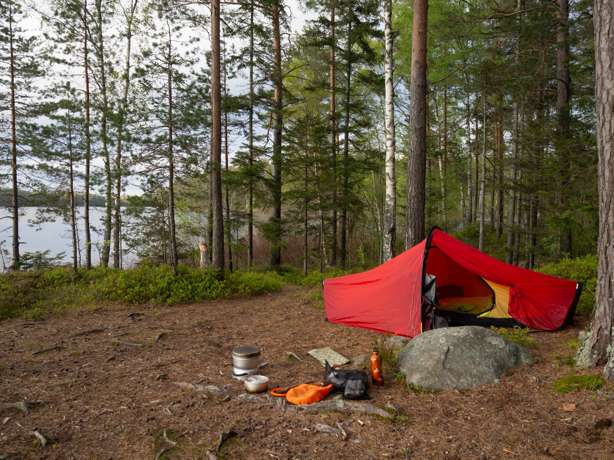
I found a nice flat spot right next to the lake. There was supposed to be a shelter a few kilometres onwards, but this felt good to me.
A family of Canada geese – two adults and seven tiny balls of fluff – came up out of the water just as I got there and started nibbling on the grass and the fresh leaves on the bilberry bushes. At first I was so careful to keep my distance and not make any noise when I was putting my tent up, but they didn’t seem bothered by my presence at all, and walked closer to me than I had dared do myself.
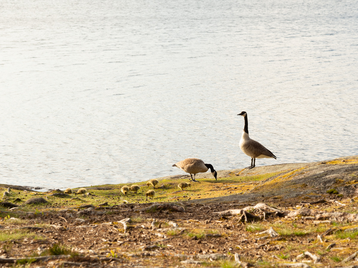
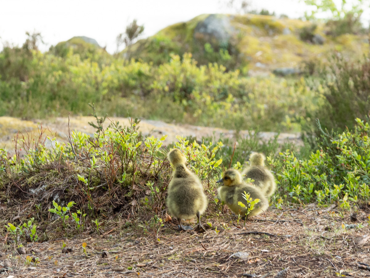
The lake was busy and noisy with all sorts of water birds, big and small, all evening and again from dawn. Geese, gulls, cranes, swans.

Leave a comment