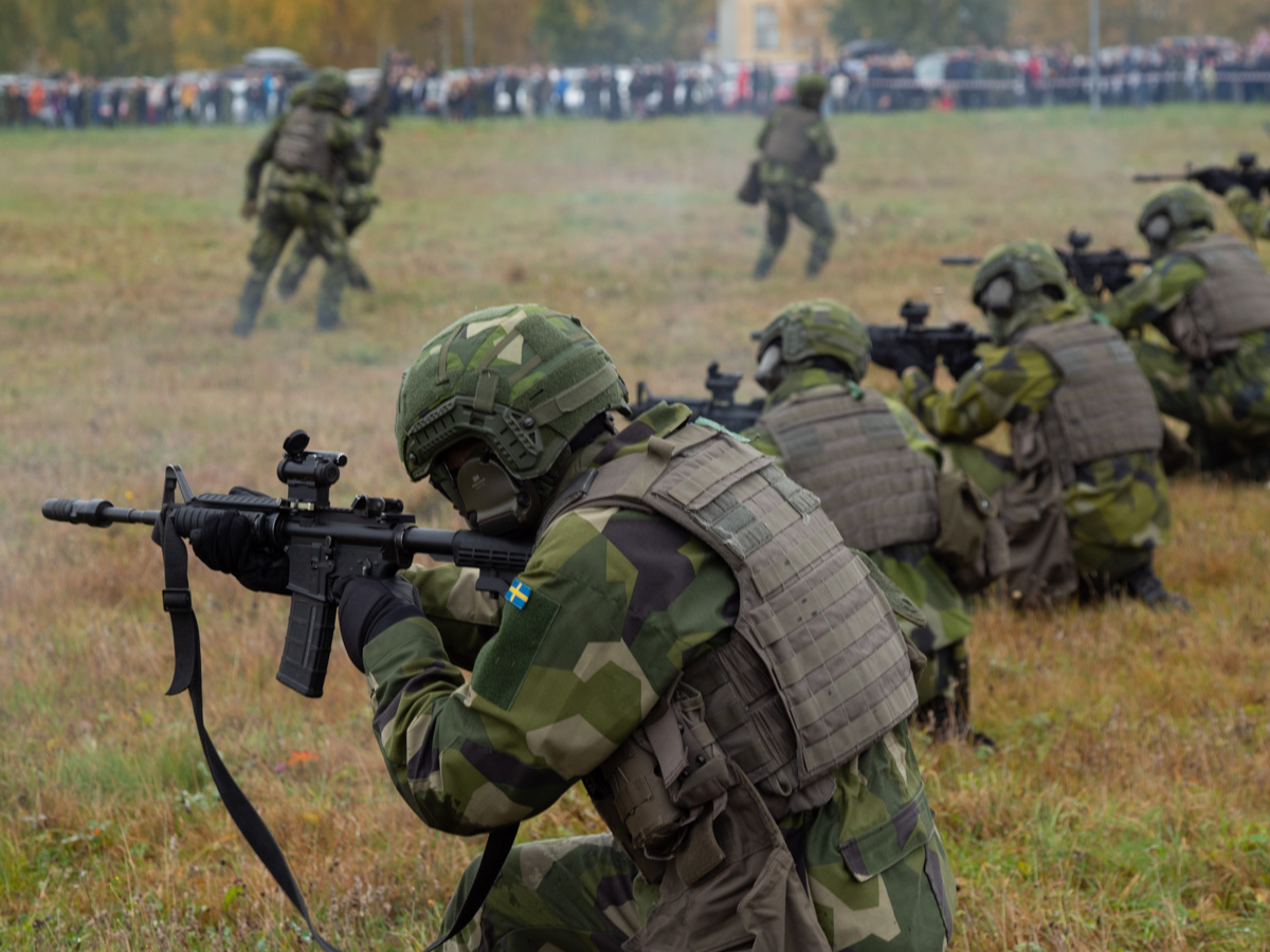
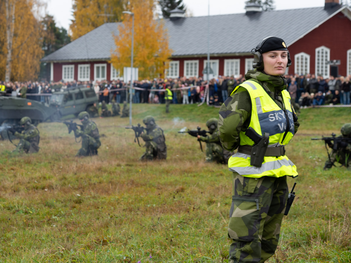
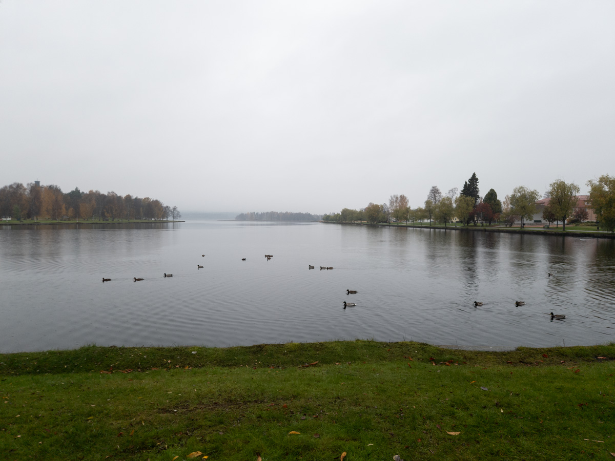
Lilla Göljet to Lövsjön, 20 km. Half of stage 34 of Sörmlandsleden and all of 33.

It did indeed rain all night, sometimes lighter, sometimes heavier, and stopped at around eight, at which point I got going.

Everything was wet and somewhat muddy, but there were boardwalks in most of the really muddy places.

The clouds cleared away pretty soon and I got sunshine already for my late breakfast.

After a few hours, it was as if the rain had never been at all.

Section 34 of the trail was average. Uninhabited, maybe, but that doesn’t preclude clear-cut forests.

Lunch by lake Skvättsjön, just before the end of section 34.

The first parts of section 33 were the wildest and hardest-to-walk parts of the entire trail that I can remember. Zig-zagging down steep slopes, clambering over rocks, ducking under and climbing over fallen trees. I’m glad the ground was mstly dry – doing this in the mud would have been… interesting.


All this scrambling took me back to the high cliffs of Bråviken. The view here was much more appealing than the day before yesterday: the waters of the bay were broken up by little islets, and there was a castle on the other side.

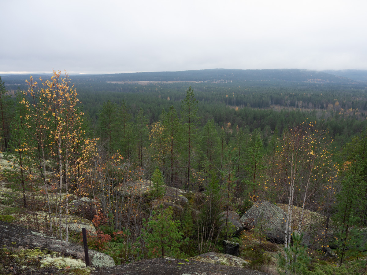
The afternoon, after the trail turned back north away from the coast, was mostly pretty pine forests. For a while the path went along the top of a ridge, probably shaped by the ice sheets ten thousand years ago. It made for nice views.

It started raining again in the early evening, with one giant rumble of thunder and a short burst of hail. I hadn’t run across any place where I could put up my tent – not even a nice space, just enough flat ground to fit me and the tent – so I kept going. At the southern tip of lake Lövsjön finally there was a space of some kind. Not much more than a roadside stop, with muddy car tracks, a worn picnic table and a trashy-looking fireplace. There was nothing more scenic to look forward to, and two-three more kilometres would take me to Kolmården with its parking lots and bus stops, so I stayed.

The magic of weather forecasts and live radar maps made my evening a lot nicer than it could have been. When I stopped, it was raining quite constantly. The radar map promised that it would stop twenty minutes later. Instead of cooking dinner and putting up my tent in the rain, I huddled under a spruce tree and waited and watched the raindrops on the surface of the lake. And indeed, the rain stopped, so at least my dinner was dry.

Nävsjön to Lilla Göljen, 20 km. Sörmlandsleden stage 35 and half of 34.

I begun the day by accidentally stepping on my favourite wooden cooking spoon and breaking it. I’m going to take it with me to dispose of it, but I don’t think there’s any saving it.

The trail continued its loop around lake Nävsjön. The lake is a popular fishing spot, with “planted” rainbow trout, rental boats, and convenient fishing spots all around. How can you tell a fishing spot from a picnic spot? The fishing spot has an extra small table with a bucket, for cleaning the fish.

Apparently not all of the Sörmlandsleden trail is in Sörmland – sections 33 and 34 are mostly in Östergötland.

The usual kind of walking in the usual kinds of surroundings. Mossy bits and rocky bits and lots of pine. Probably plenty of bilberries and lingonberries later in the season.


No shortage of wellsprings around here, and also no shortage of water in them. We’ve had some decent rain recently so the groundwater levels are good.

Lunchtime came, with the usual struggles to find a suitable stopping place. I went into someone’s grassy field to get enough room to cook lunch. It was fenced in, but there were no animals and no work ongoing, so it should be OK.

The afternoon had some more boring walking. Stage 34 is described as being all uninhabited forests. And yeah, a gravel road doesn’t count as human habitation, but still, not exactly wilderness.

I reached the shelter at Lilla Göljet at five o’clock. Rain had been imminent for a while already, and it finally started raining for real just as I passed a sign 200 metres before the shelter. I normally keep walking until later than this – stopping at five means an awful lot of evening just sitting around – but this time I let the weather make the decision for me. The forecast promised rain all night. The tent is waterproof but I would still have ended up putting it up in the rain, cooking dinner in the rain, and then carrying a wet tent tomorrow.

The shelter was empty when I got there. I made myself comfortable in the corner with the best views. Half an hour later, more people arrived. In pairs, even, which meant near-constant talking between them. They weren’t any more chatty than any other normal people would be, but I had imagined being here in the quiet on my own.

On the other hand, one of those people immediately decided that we needed a fire. Which was very cosy. I know how to make a fire but somehow it just didn’t seem worth the effort, just for me. So that was nice.

Nävekvarn to Nävsjön, 12 km – Sörmlandsleden stage 36.

My progress with the Sörmlandsleden trail is currently limited by transport options. Getting to Nävekvarn took almost four hours and involved four legs: commuter train, bus replacing ordinary train, train, and another bus.

For similar reasons, I’m starting this hike in Nävekvarn and walking backwards to Kolmården. The travel options to and from Nävekvarn gave me 4 different choices, arriving at three-hour intervals. Whereas Kolmården is a popular destination and has buses at least every half-hour Walking the “right” way and arriving in Nävekvarn on the last day and then having to wait 3 hours to get on a bus did not sound convenient at all. Now I just had a 40-minute pause in Nyköping, with a view of Nyköping central park.

I didn’t spot the information boards that are always there at the start of each stage of the trail. The first signs of trail markings that I saw was this extraordinarily sad-looking signpost. Would this be symptomatic of the whole day? Scruffy signs along the edges of small-town streets?

Indeed not. Even before I left Nävekvarn, the trail took a detour to make a loop around the small island of Skäret, just for the scenic views. If you look for Nävekvarn on a high-level map of Sweden, it’s inland and looks to be far from the sea. But Nävekvarn (and Kolmården) are situated on the northern coast of Bråviken, a long and narrow bay in the Baltic sea.

The weather was very changeable, and with the trail going in and out of trees, I was constantly adjusting my clothes. Sunglasses on, sunglasses off. Zipper up, zipper down. Hands tucked into pockets, hands out.

After Skäret the trail climbed up onto a high cliff, with even wider views that are marketed as fabulous. They were wide, but not very interesting – there was mostly just unbroken sea to look at, and a thickly forested shore on the other side. The only interesting bit – something for the eyes to catch on – was the old Marviken power station on the other side of the water.

The trail swung away from the coast and into forest. The forests here are protected so it was lovely walking. Never very far from roads, but apart from a few signposts here and there, it felt like civilization was distant.

The forest was all lush and green. May is the most beautiful time of the year. Everything is fresh and full of new life.

There were many small rocky streams. A few larger ones had supported small local ironworks in the 17th century. Including the river in Nävekvarn – “kvarn” means “mill”, and the water mill there used to power bellows for smelting iron.

A cemetery for victims of a cholera epidemic in 1855. Th only signs of it existing were old, hand-made plaques commemorating those buried there. I wonder how old they might be. Not 1855, I guess, but old.

There was a fair amount of the usual Sörmland pine-and-rock-and-bilberry combination.

Since I only started after lunchtime, I walked 12 km today, from Nävekvarn to Nävsjön. The main trail goes east of the lake, but there’s an extra circuit around the west side, and I was happy to lengthen my hike. Again due to transport complications the sections that I can walk this time only added up to 45 km, which is barely enough for three days. Extras are welcome.

I found a nice flat spot right next to the lake. There was supposed to be a shelter a few kilometres onwards, but this felt good to me.

A family of Canada geese – two adults and seven tiny balls of fluff – came up out of the water just as I got there and started nibbling on the grass and the fresh leaves on the bilberry bushes. At first I was so careful to keep my distance and not make any noise when I was putting my tent up, but they didn’t seem bothered by my presence at all, and walked closer to me than I had dared do myself.


The lake was busy and noisy with all sorts of water birds, big and small, all evening and again from dawn. Geese, gulls, cranes, swans.

We have a long weekend coming up, and I’m using it for a three-night hike of Sörmlandsleden. Today is packing and food prep day.

I spent a good twenty minutes in the basement looking for the packing bags for our inflatable sleeping mats. They’ve always been roughly bundled together and shoved in under the sleeping mats themselves, next to the sleeping bags. And now they weren’t. They were nowhere to be found.

Then I brought Adrian down to help me search. Under the sleeping bags, behind the shelves (in case they’d somehow gotten pushed back), under them. Nothing.

Finally Adrian asked me if I had last used them before or after last summer’s basement reorganization. I realized I hadn’t slept in a tent since early last summer. I’d probably tidied them away to some very good place when I went through everything the basement. With that in mind, I looked through everything one more time, and finally found the packing bags in that woven basket. Which is a not entirely unreasonable place for them to be – but they have absolutely never been there before. And it’s a good two metres to the right of the mats they go with.

Well, at least I found them, even if it cost me almost an hour of my life. I don’t even know what plan B would have been. The good sleeping mat comes with a special bag that’s used for inflating it, and it would be quite hard to use without.

The dual-element cooking zone on my stove has been half broken for a while. The inner ring wouldn’t turn on at all, and the outer one was heating unpredictably. It was slow to warm, but then wouldn’t “listen” to the knob when I turned it down, so pasta water would boil over even when turned to a low setting.

I’d have to replace the whole oven/stove combo, I thought – modern appliances aren’t repair-friendly. Did a quick search anyway, and it turned out that at least stoves are very repairable. Electrolux has a fixed-price service, all parts included. Much cheaper and easier than buying a new stove. A friendly repairman turned up, pulled the stove out, replaced a part, and ta-da! Both coils are heating up as they’re supposed to.

With the stove pulled out from its normal position, the dirt and grime around its usual space became visible. Every little crumb or drop of grease that falls down along the back and sides of the stove just stays there. I haven’t thought about cleaning there since the stove was installed in 2019. It was by far the dirtiest thing I have ever seen in any home where I’ve lived. I guess I should be doing this more often than once every 7 years.


The end-of-term concert for Adrian’s percussion class took place on the big scene in the middle of Kungsträdgården.

Just the neckline left on this striped sweater. I knit it once already, but it turned out too loose, so now I’ll be unpicking it and making a new attempt.

The lawn is already growing like crazy, even though we’re barely into May. Some years I’ve been able to put off the first mowing until June.

This early, the lawn is dotted with cowslips and the main challenge in mowing it is not running them over. Some patches I just leave be completely. In others, I trim around and between the clumps of flowers. Many are just far enough apart that the mower just fits between them. Which could be a happy coincidence, but could also be because any new plants that have tried to establish themselves between them have been mowed down before they got large enough to survive. Who knows.

Reality looked a lot better than the photo.

The same design, three different ways of expressing it. The original sketch is from an online embroidery workshop. I liked it, but it didn’t quite fulfil the criteria, so I put it aside and came back to it later. I finished the embroideries themselves a while ago but now finally got them mounted.

1: Oriental stitch for the rectangles. Couching for the circles, using hemp string and strips of paper. Applique for the filled circle.

2: Tulle and running stitch for the rectangles. Feather stitch for the circles. Weaving for the filled circle.

3: Lattice work for the rectangles. Chain stitch and threaded running stitch for the circles. Bayeux stitch for the filled circle.

Ingrid is home for this weekend, after a multi-day field exercise focused on winter survival. Very tired and worn out.

No mobile phones are allowed on any field exercises, and mostly not otherwise either, but she took an old camera with her, with no connectivity features whatsoever. The camera got passed around among her group members, the photos got reviewed and approved by her commanders, and now we have some photos of Ingrid in the field.

Full of energy and good cheer at the start of the exercise:

In a defensive position:

The group on a meal break, all under trees so as to be less visible from above:

Shooting flares:

Eating freshly field-butchered reindeer after three days of wilderness survival with no food:

Worn out after surviving out in the snow with no food, no tents, and no sleeping bags: