Hälleforsnäs to Hagtorp. Yesterday this stage was 16.5 km but today it took me 18.5 to walk.
First I got an extra kilometre by starting walking without checking the updated weather forecast. Yesterday, the forecast promised rain for today, but only from late morning. When I was packed up and ready to go at around 7:40, I saw the clouds but didn’t think that rain would be imminent. It started raining before I had even walked ten minutes. I started thinking about where I could find shelter, but quickly realised that the best and closest shelter was back at the camping site. So I walked back, through the rain. Gained absolutely nothing but getting thoroughly wet.
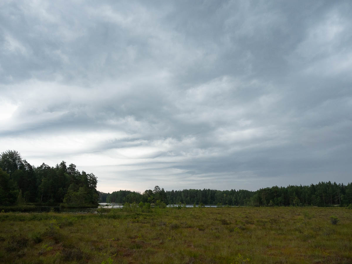
It rained for almost two hours. Luckily I had my Kindle.
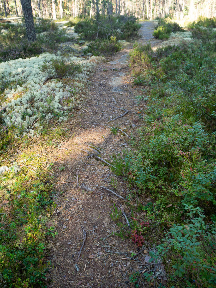
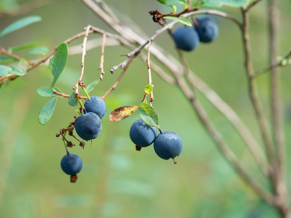
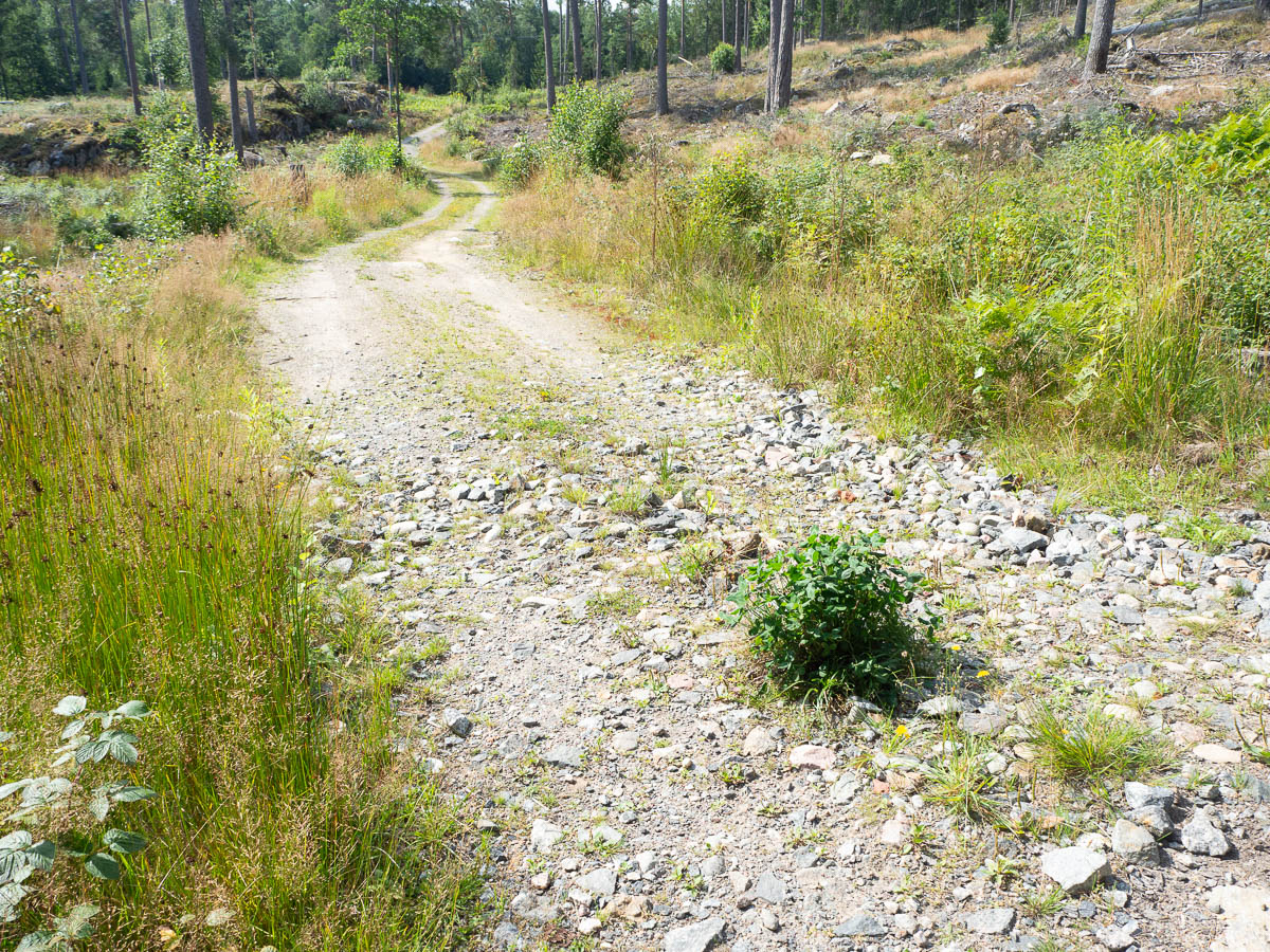
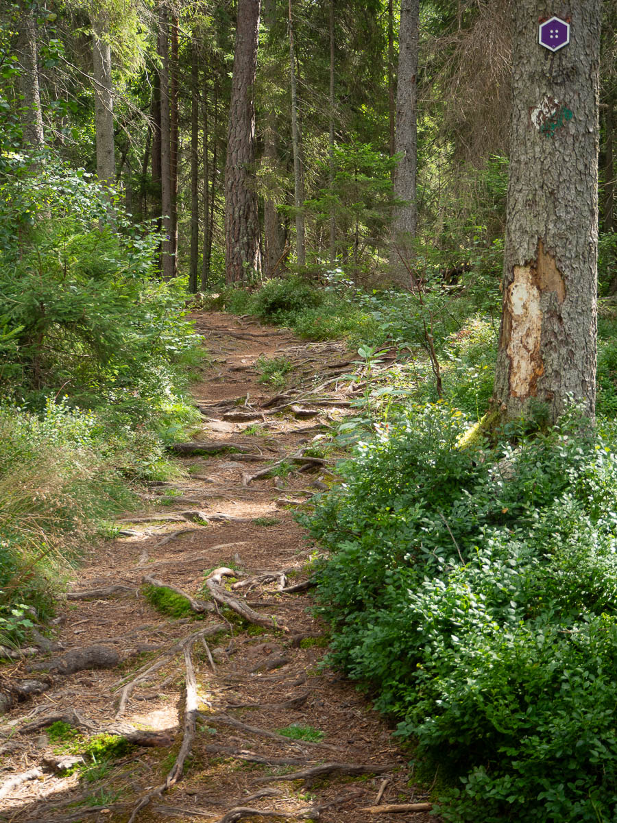
Afterwards the woods were, of course, very very wet. Not so much the ground, because the soil hereabouts drains quickly, but the bushes and grasses can hold on to a lot of water. Walking through wet forest is like I’m trying to use my trousers to wipe dry all the bilberry bushes. The trousers at least dry quickly, but the water also wicks into my socks and boots, and those keep all the water inside. Yes, I could wear waterproof trousers, but I don’t like the way they feel. Unless it’s cold outside, I’d rather be a bit wet.
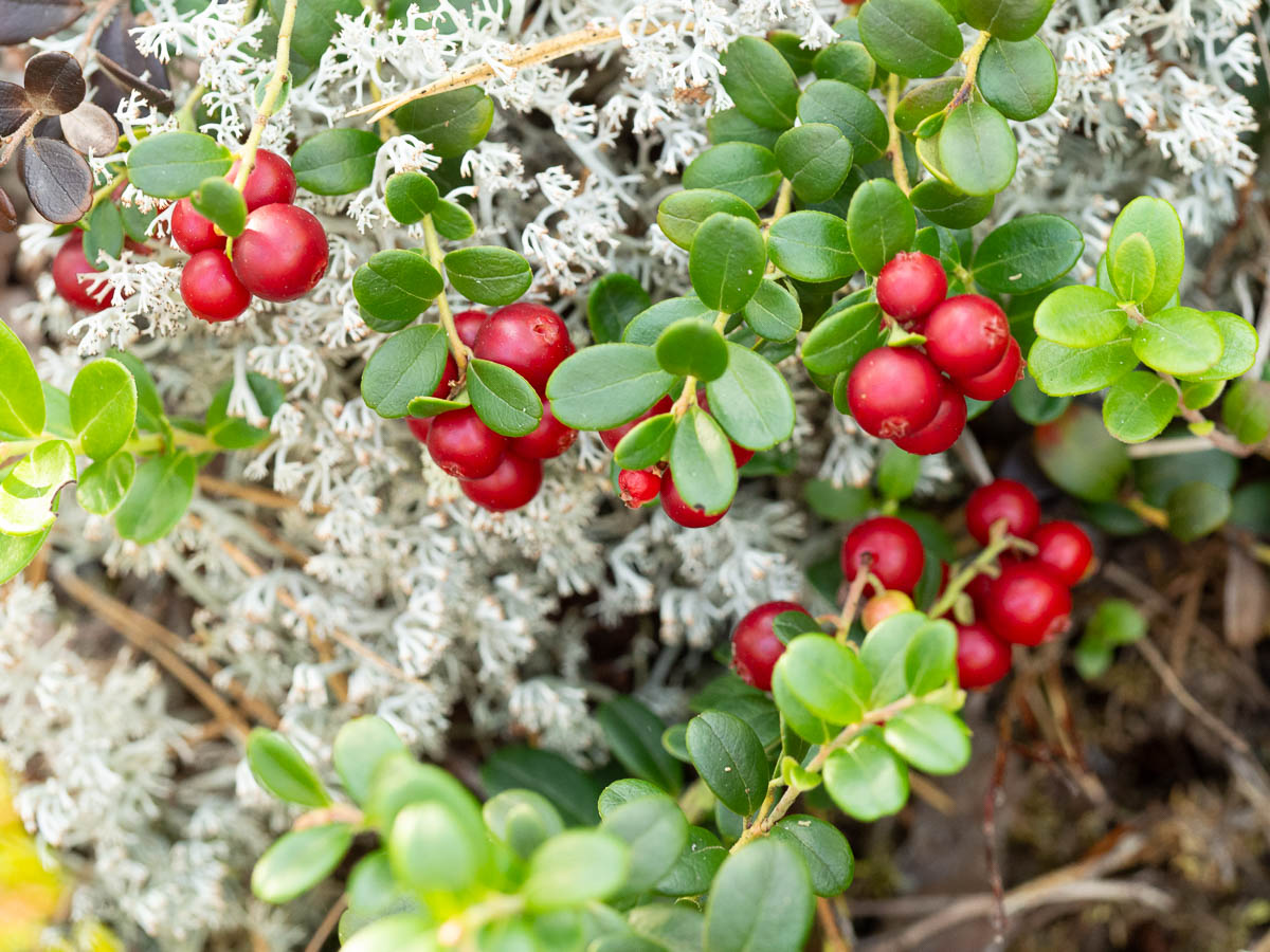
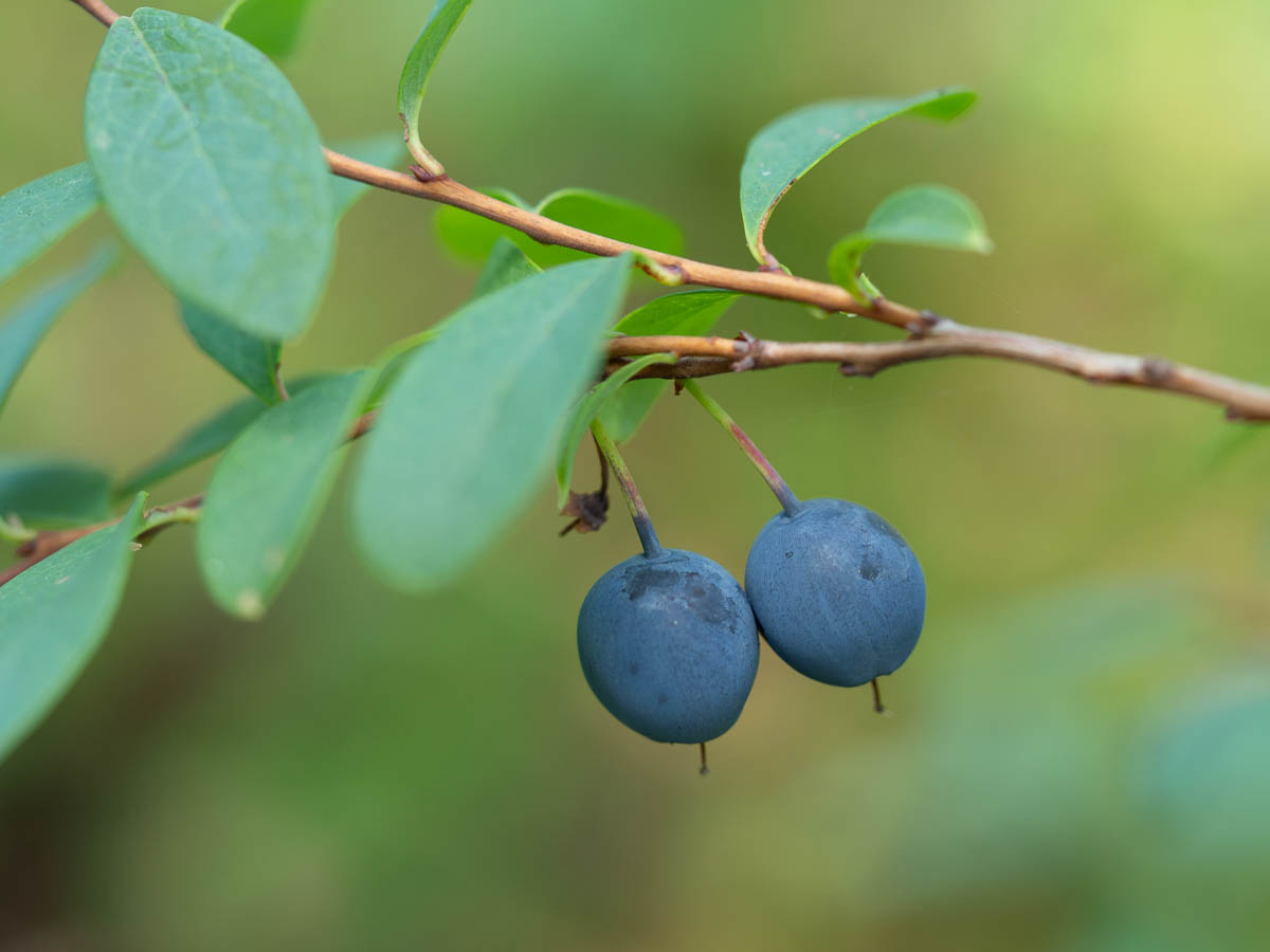
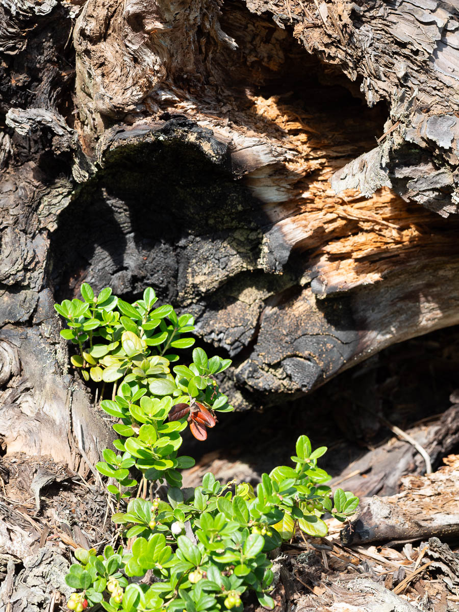
Today I learned that lingonberry bushes dry out first, with their waxy-leathery leaves. Bilberry bushes come in quick-drying and slow-drying varieties, because some were clearly drier than others. Bog bilberries were the slowest to dry and seemed to actively hold on to drops of water. And heather almost doesn’t get wet to begin with.
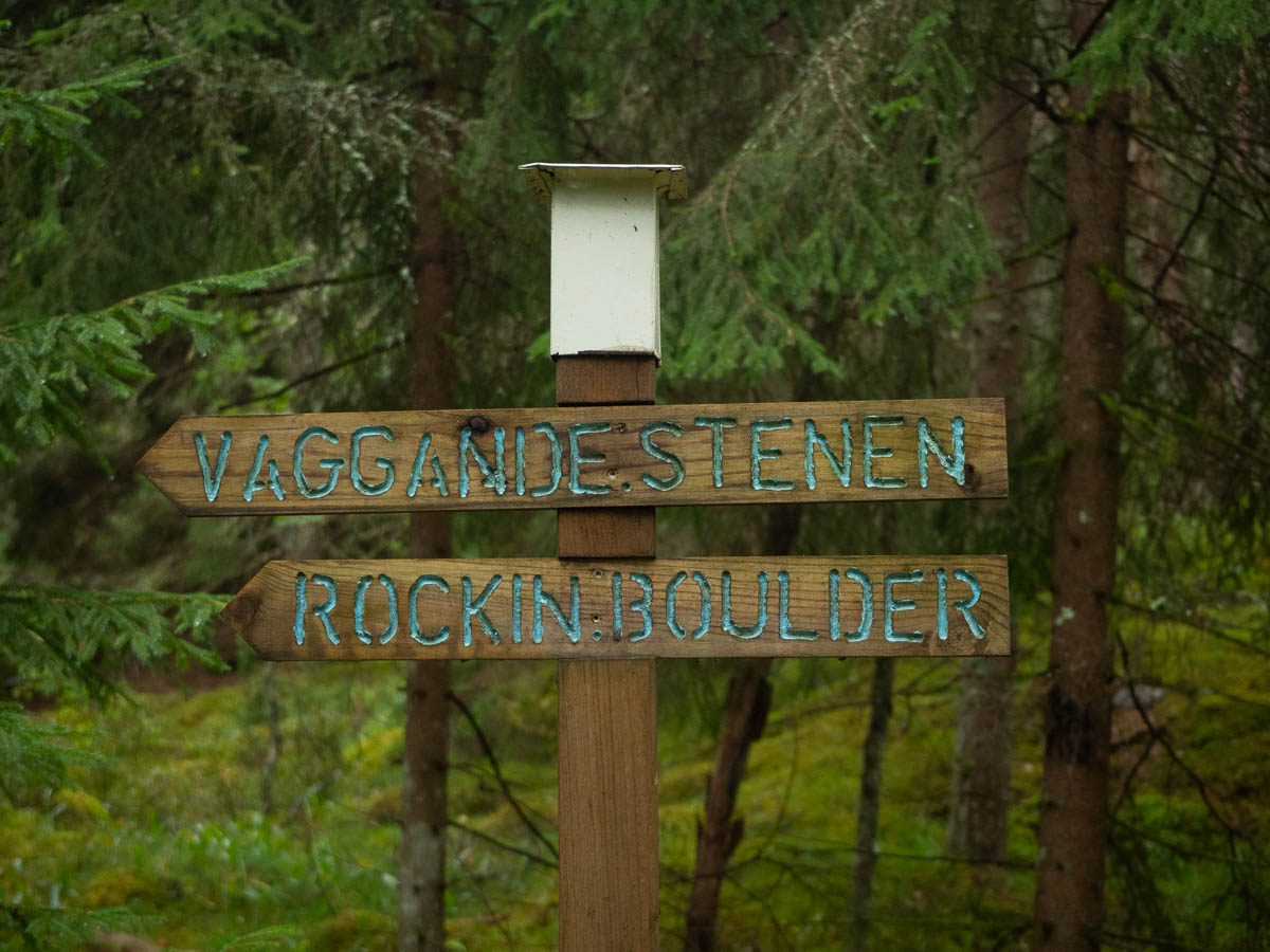
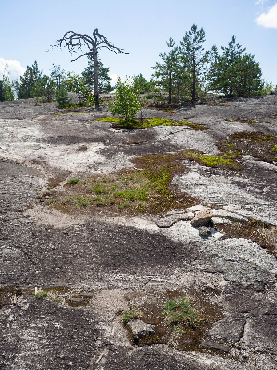
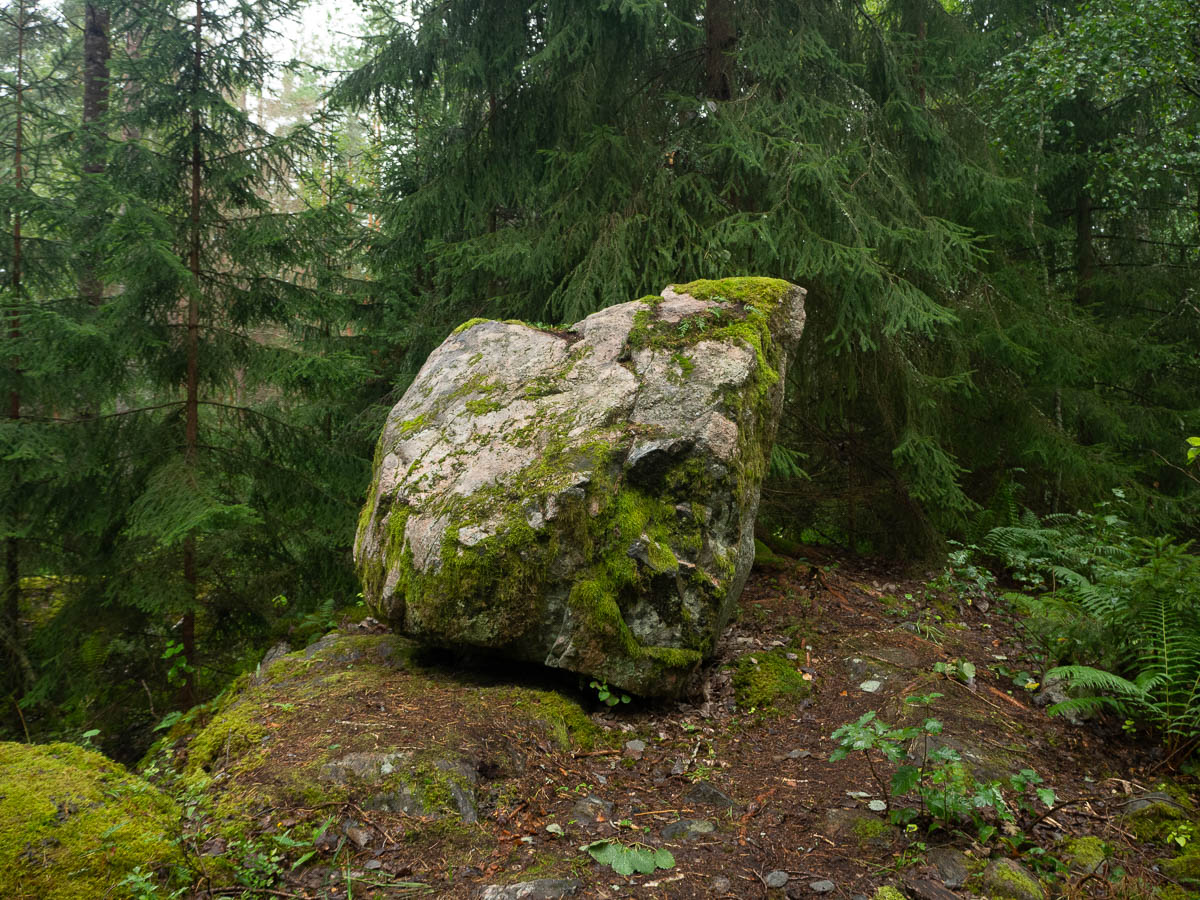
There is a locally famous “rocking boulder” a few kilometres in. Why they didn’t seize the obvious opportunity to call it a “rocking rock”, I have no idea.
I went to see it, of course, but to my disappointment, it did not rock at all, no matter how hard I pushed. Either it needs more weight, or it’s gotten jammed.
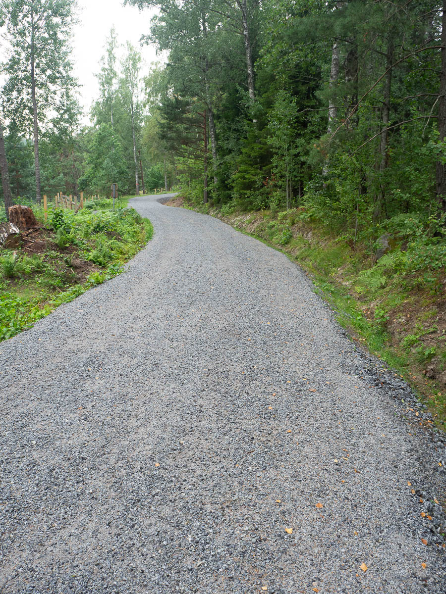
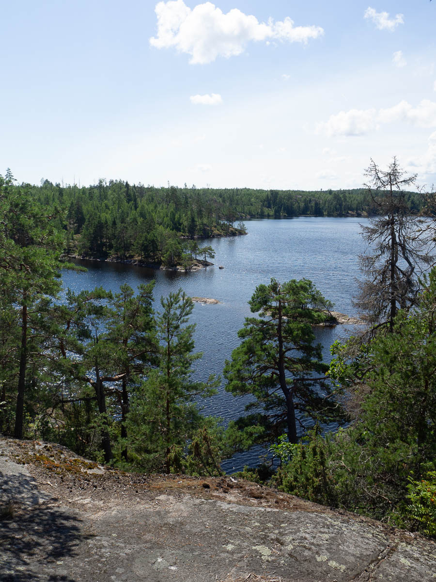
The rest of the day was pleasant, unexciting walking. More mindfulness, like yesterday. It went easier today, after all my practise.
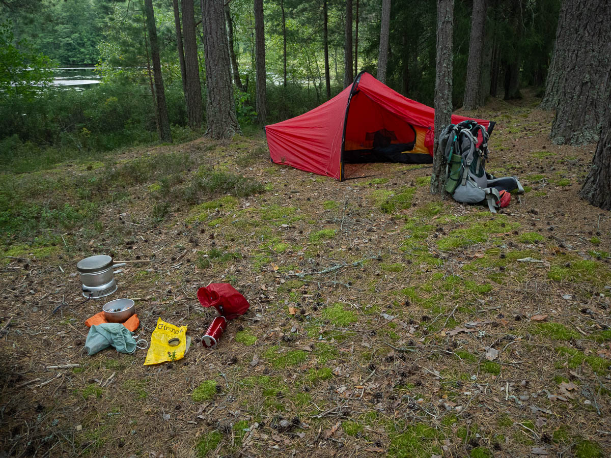
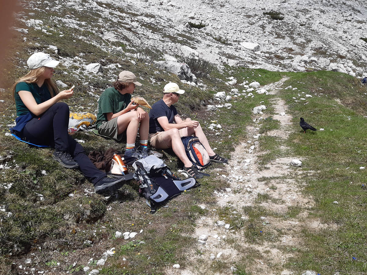
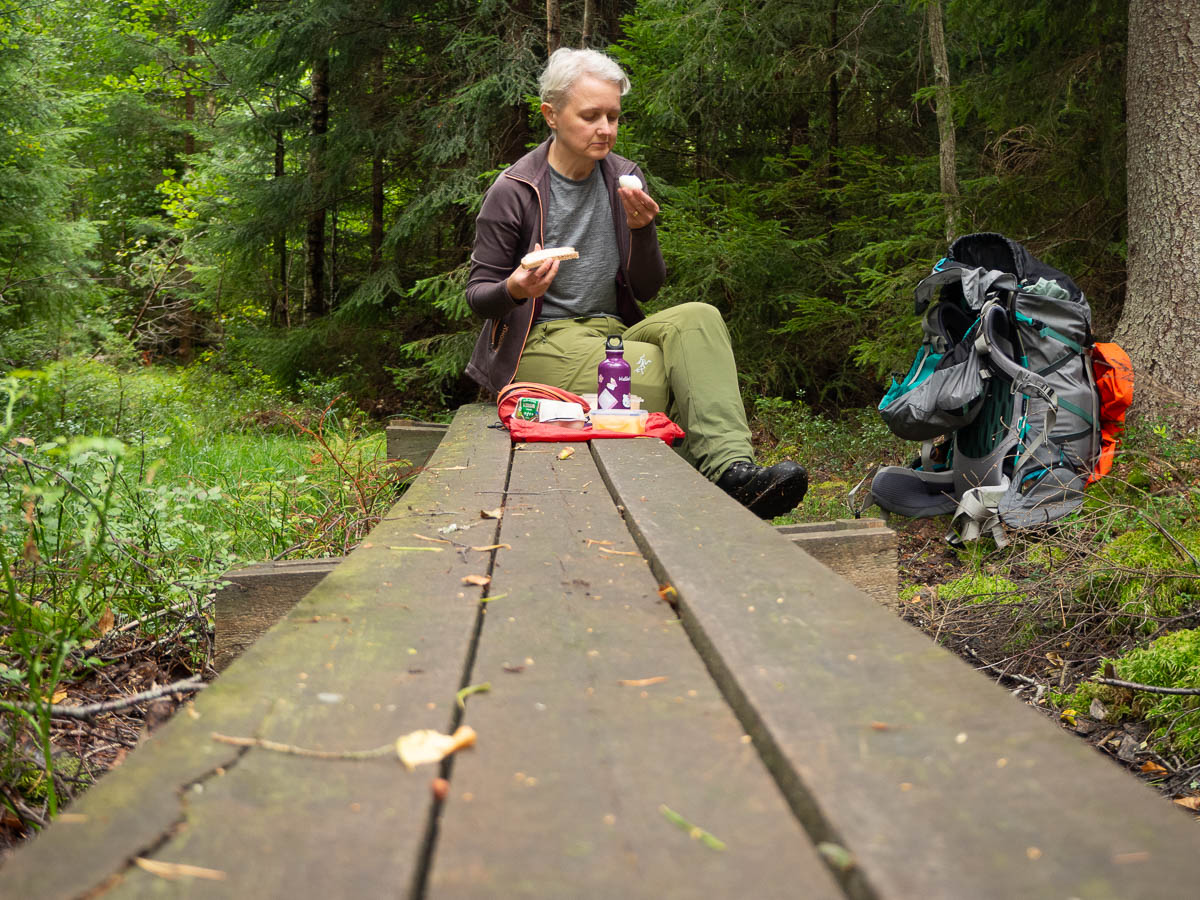
Here’s me having bread and butter and a boiled egg for lunch. It took a good while to find a spot where I could sit down for a meal – wherever I looked, it was just wet bushes.
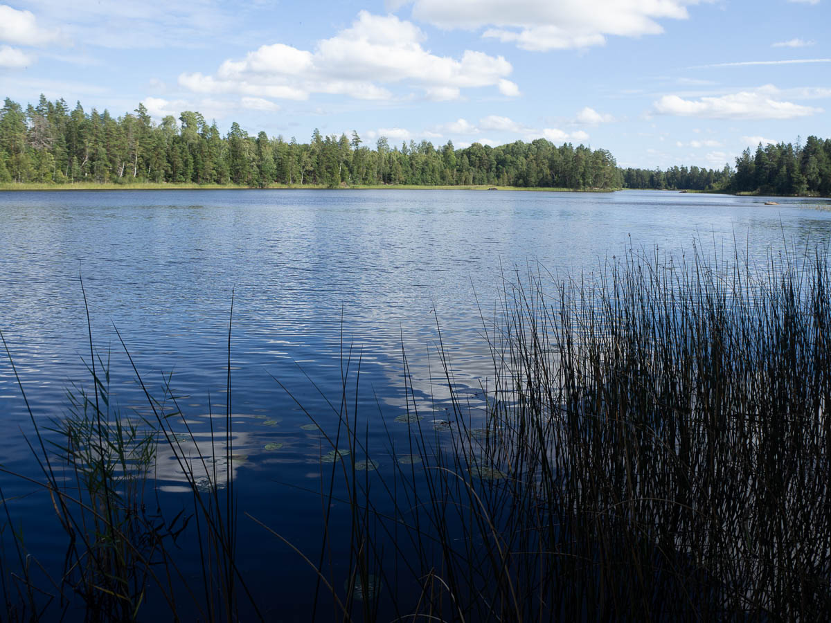
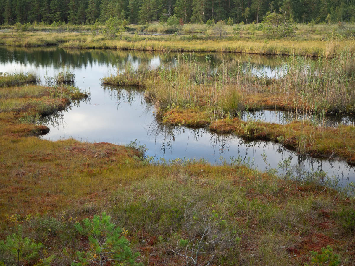
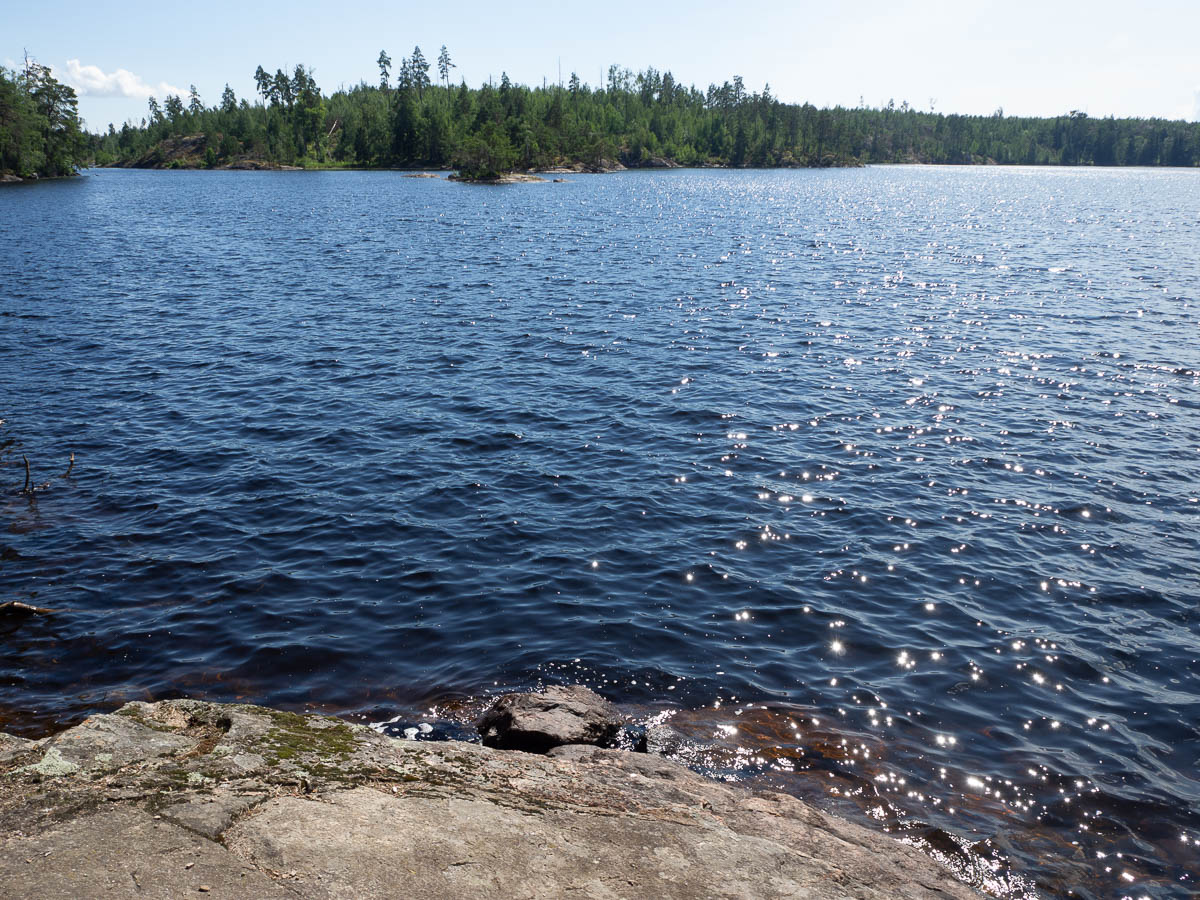
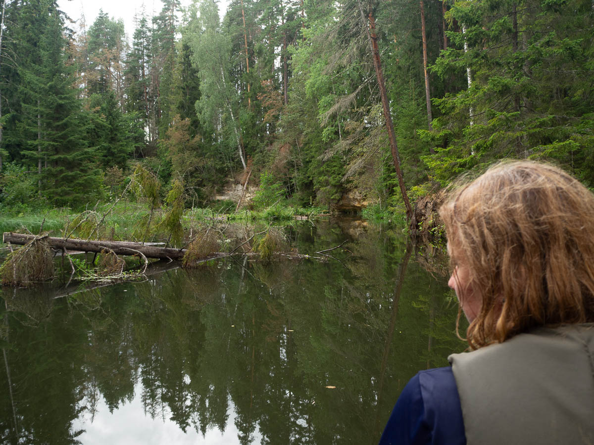
In the afternoon there was another surprise burst of rain. And I had again just passed a shelter, so this time I didn’t even hesitate – turned back as soon as I felt the first drop and ran back, and had my second lunch at the shelter instead of the exposed lakeside cliff I had been aiming for. Another extra kilometre gained.