This is the last weekend of an exhibition at Artipelag that I wanted to see.
Last time I was there, I took the car. Today I was carless because I’d – somewhat carelessly – promised to lend the car to someone else, not giving much thought to how I’d take myself to Artipelag. Surely there are buses or something.
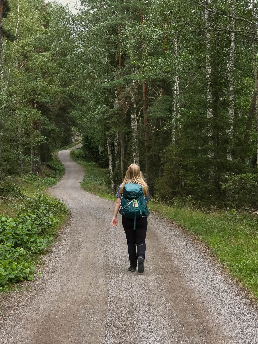
There are indeed buses, but getting there by public transport turned out to require a train and then three separate buses, for a total travel time of around two hours. Or… I could cycle there, and it would only take twenty minutes longer. There and back would be a full day’s worth of cycling, so why not make a day of it. Could I spend the day in a better way? Indeed I could not.
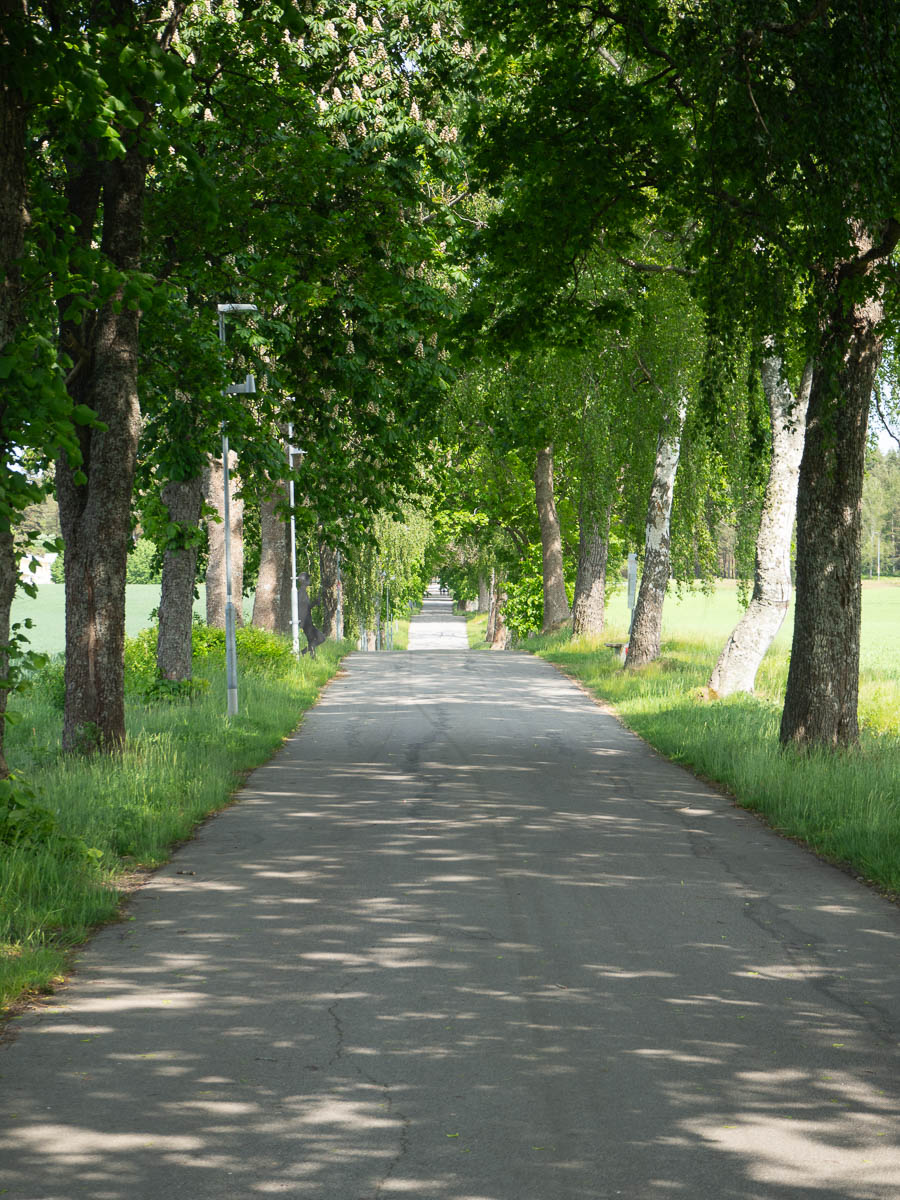
The first bit was just getting from Spånga to central Stockholm, which was just like biking to work. After that I cycled along paths that I’ve never passed before, through parts of the city that I’ve never seen up close. A nice bit of sight-seeing, which I rarely do in Stockholm.
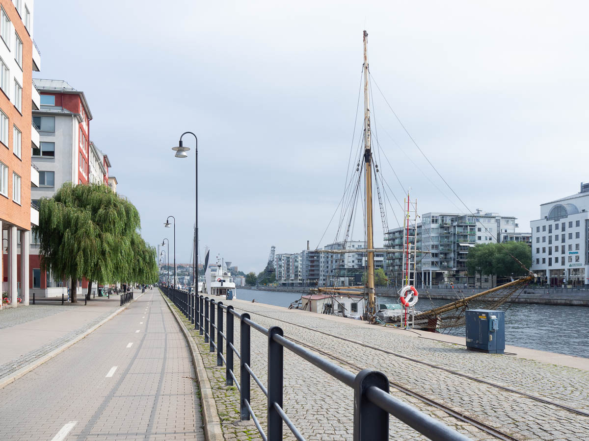
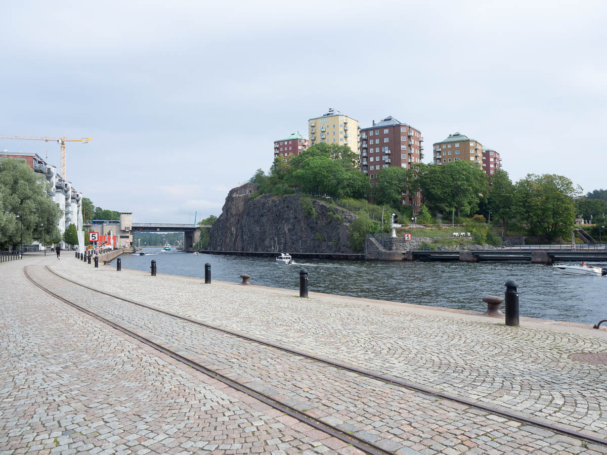
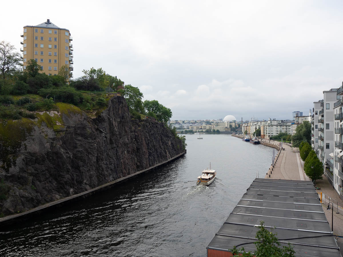
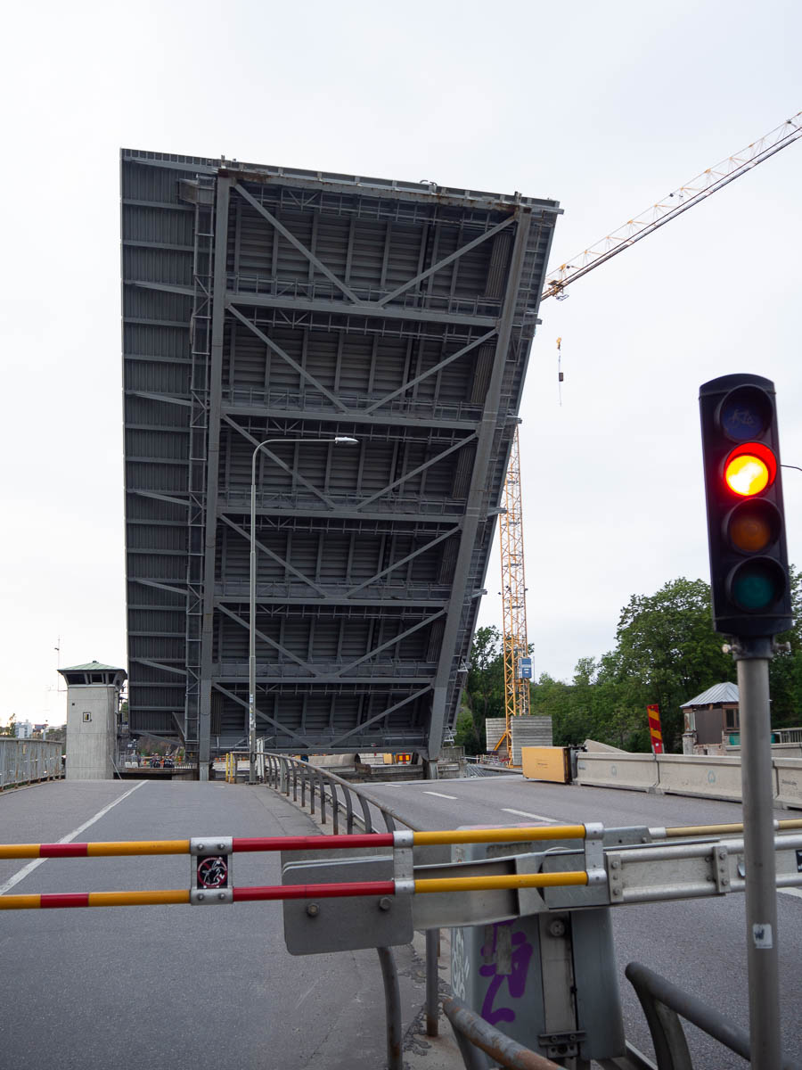
Some of those stretches through central(ish) Stockholm were rather crowded with Saturday morning joggers and dog-walkers, and it was a relief to leave them behind. The cycle paths through Nacka and Sickla were even more stressful with roadworks and blockages everywhere – so confusing in places that I struggled to even find the cycle path, and a car driver, conversely, ended up on a cycle path by mistake.
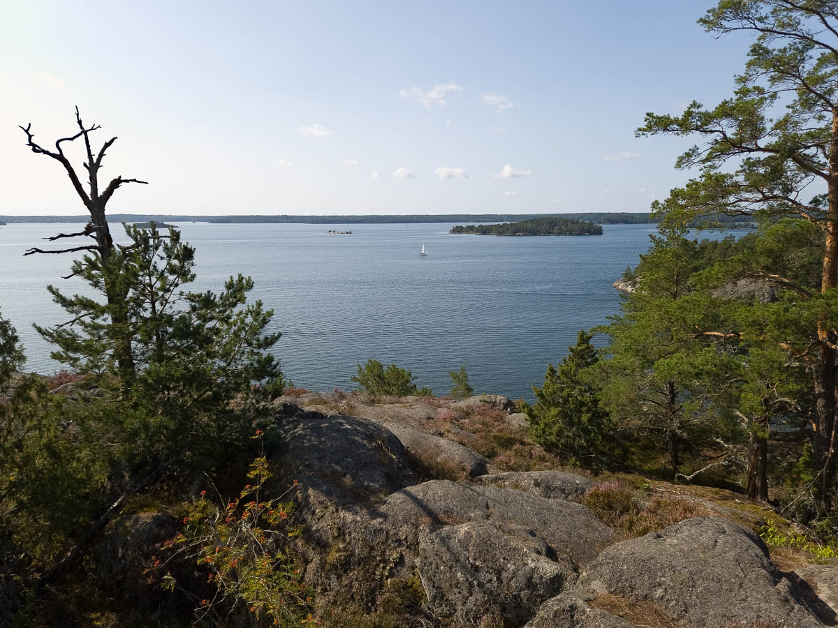
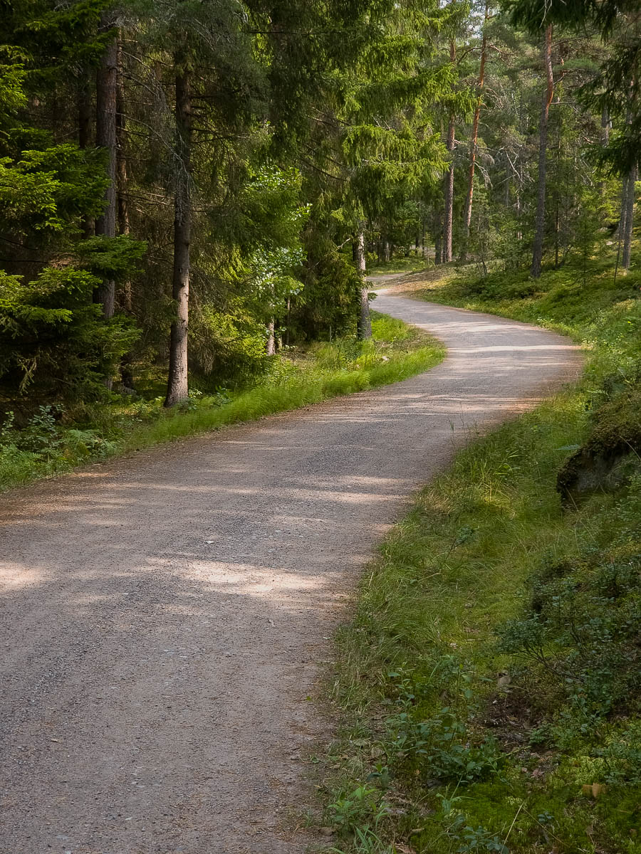
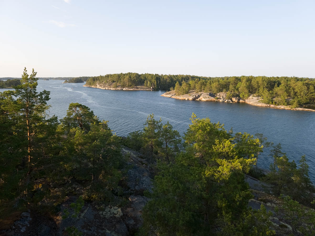
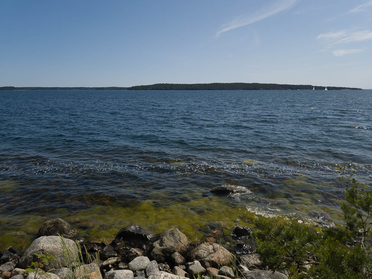
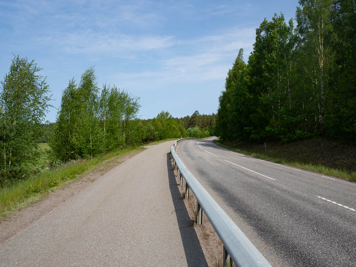
Once I got through that, there was a long and easy stretch of good cycle paths along Värmdöleden, a main road or small highway. Large and long enough to give me a good, steady road to follow, with no map-reading necessary, but still local enough to be free of heavy traffic, at least on a Saturday.
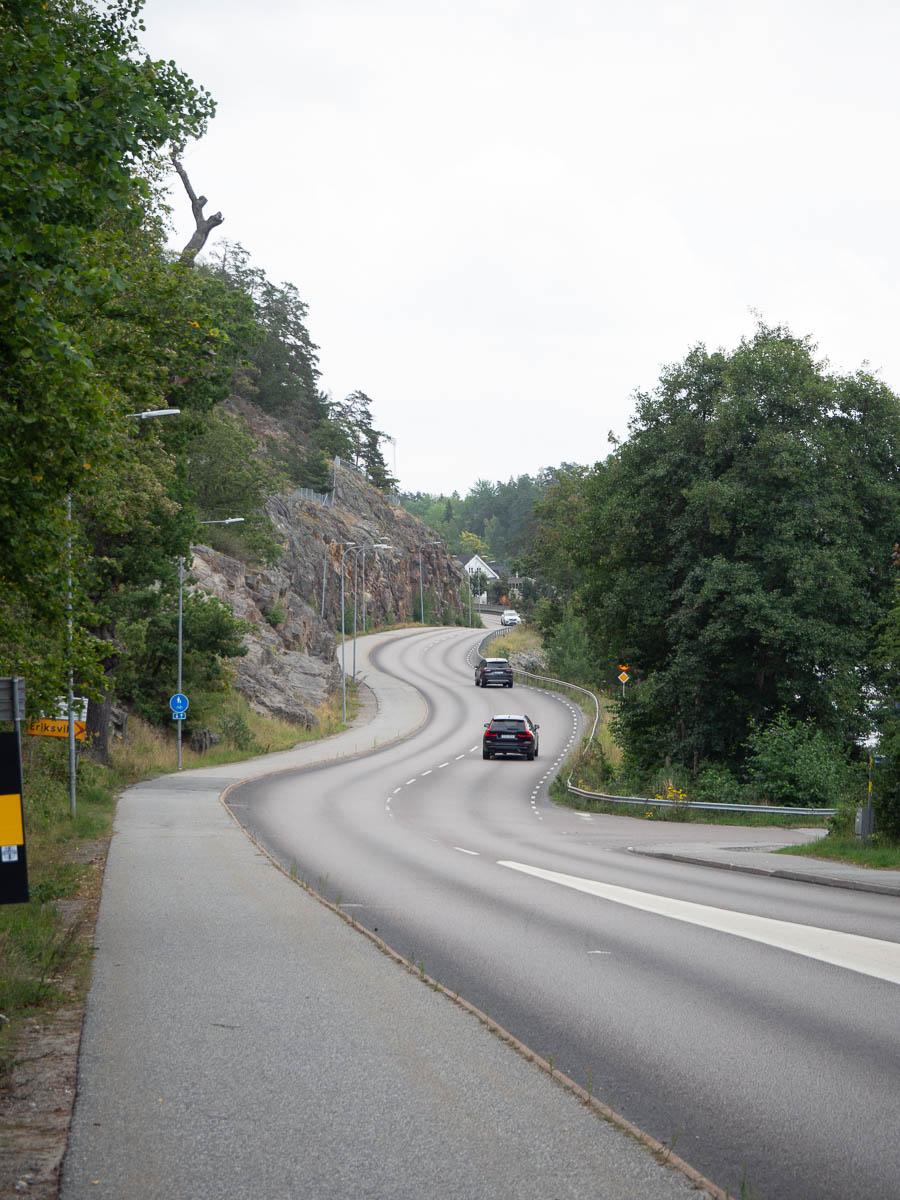
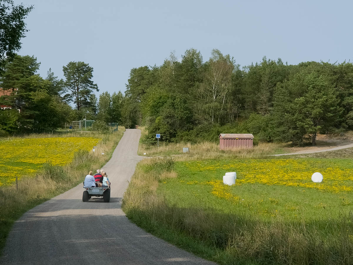
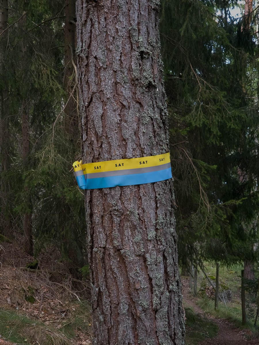
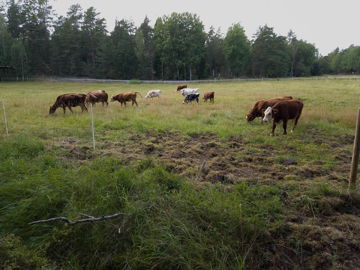
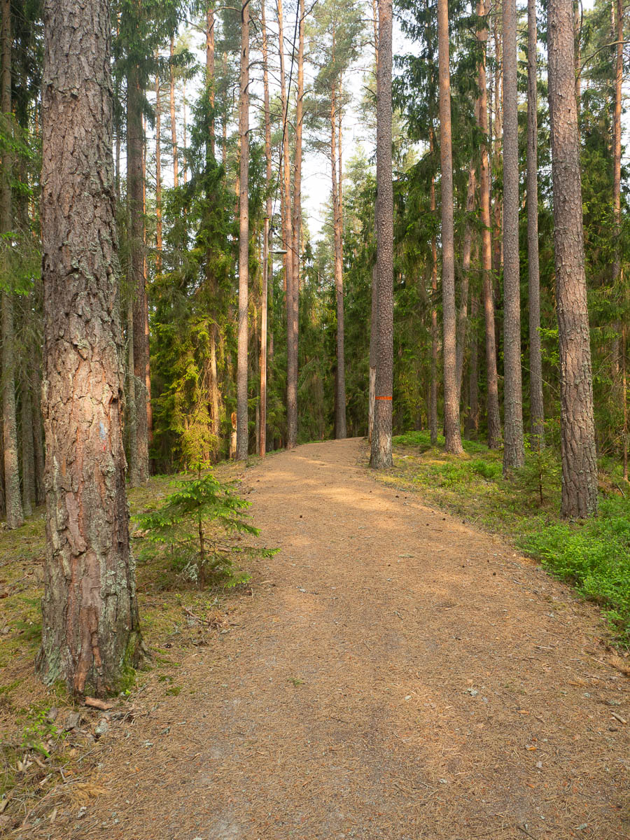
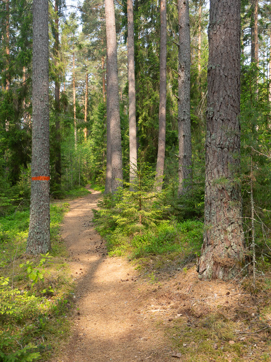
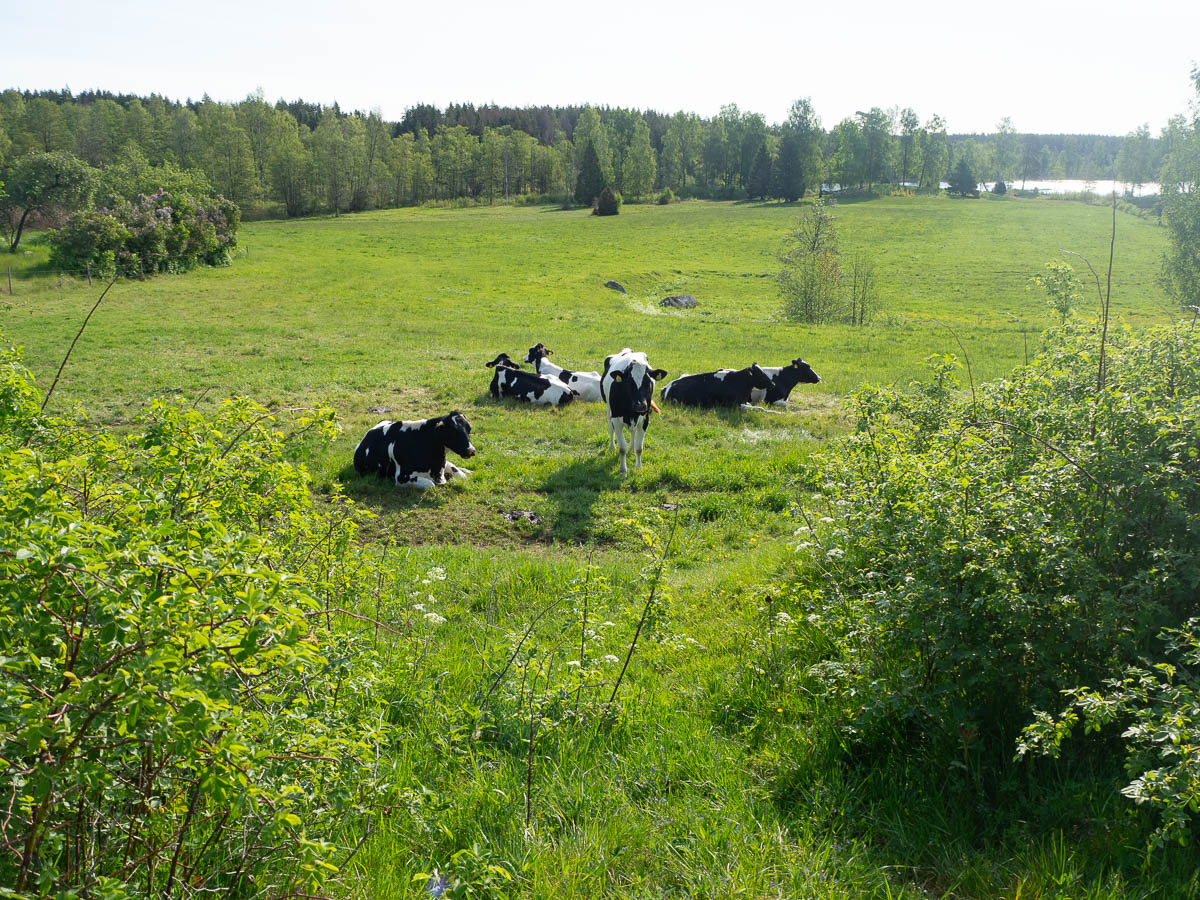
The further I cycled, the more rural the road got. Near Gustavsberg the cycle path left the main road and got onto smaller tracks and roads.
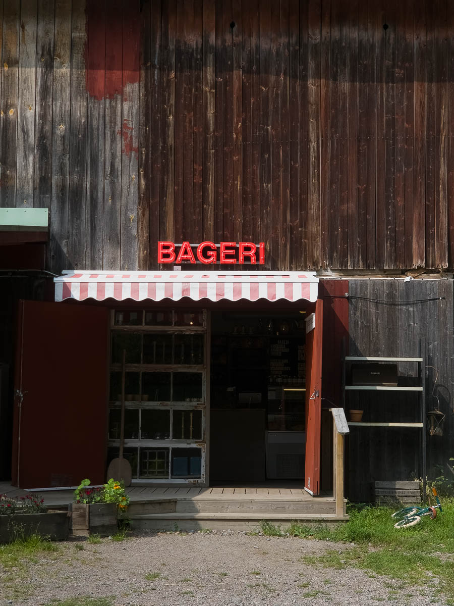
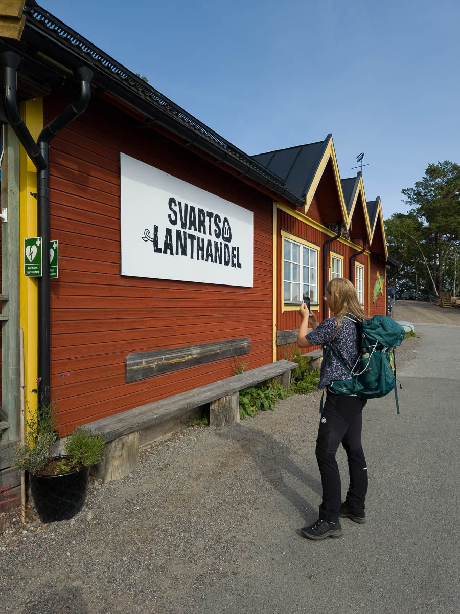
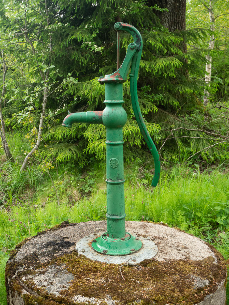
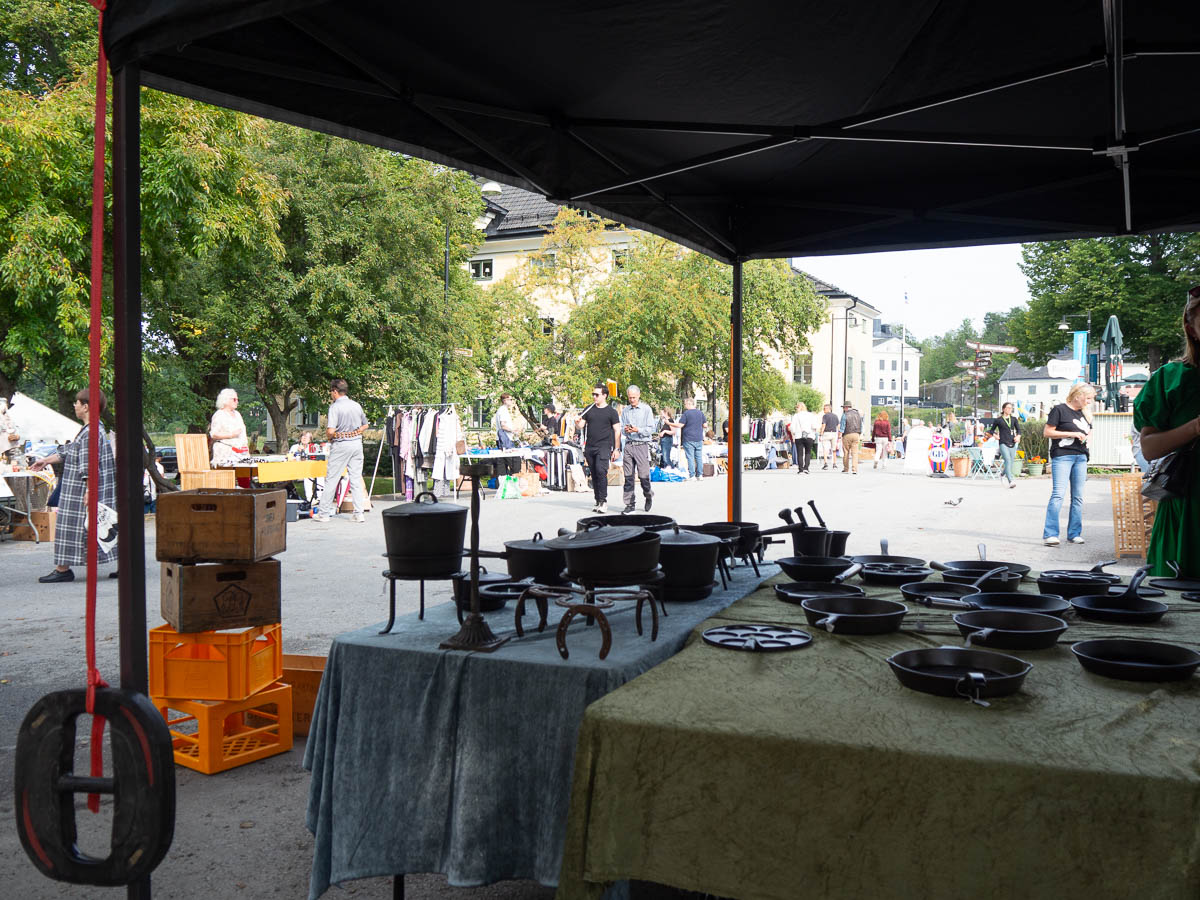
In Gustavsberg I ran across a flea market. I browsed around without much hope of finding anything, mostly to take a break. Most flea markets are full of cheap clothes and boring glass and ceramics. Here, though, I found a whole market stand full of cast iron pots and pans! I’ve become more and more fond of cast iron cookware recently and added more to my cupboard. They’re expensive, so I’ve been on the lookout for good used ones. I found a good-quality small pan here, exactly what I needed.
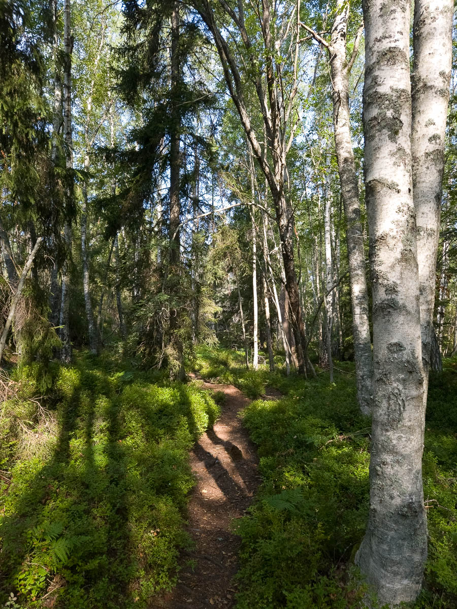
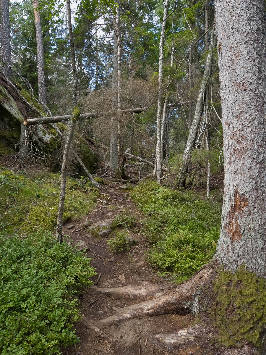
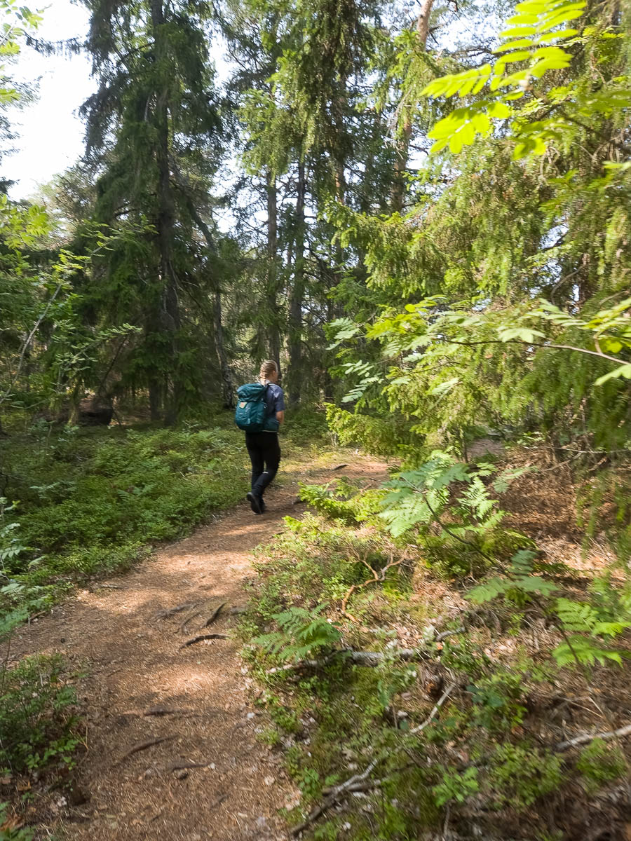
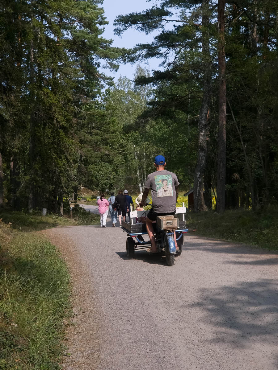
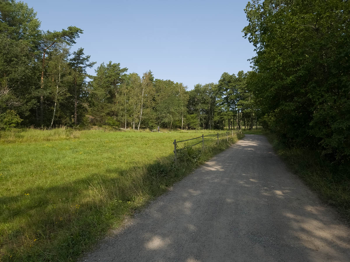
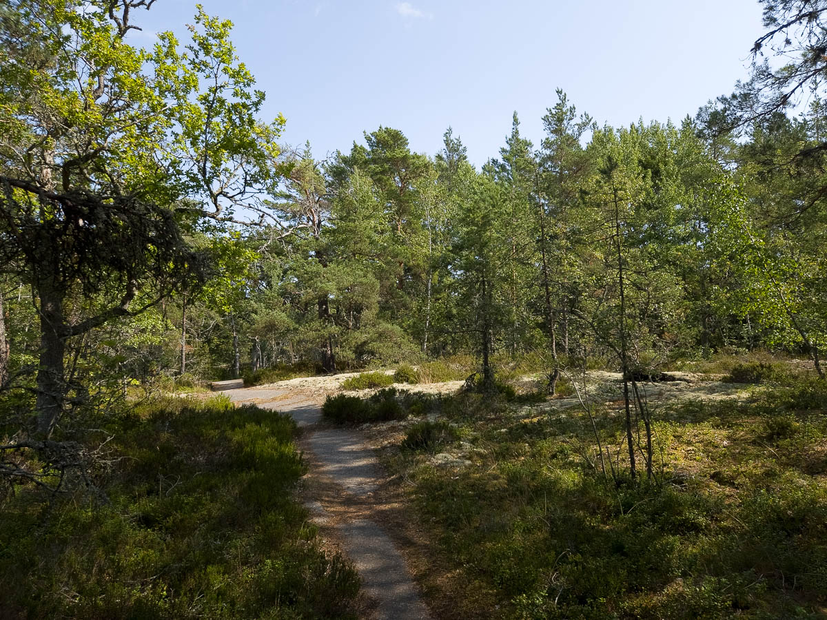
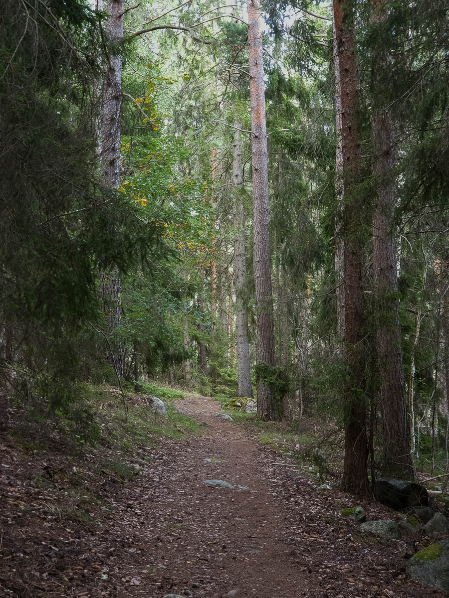
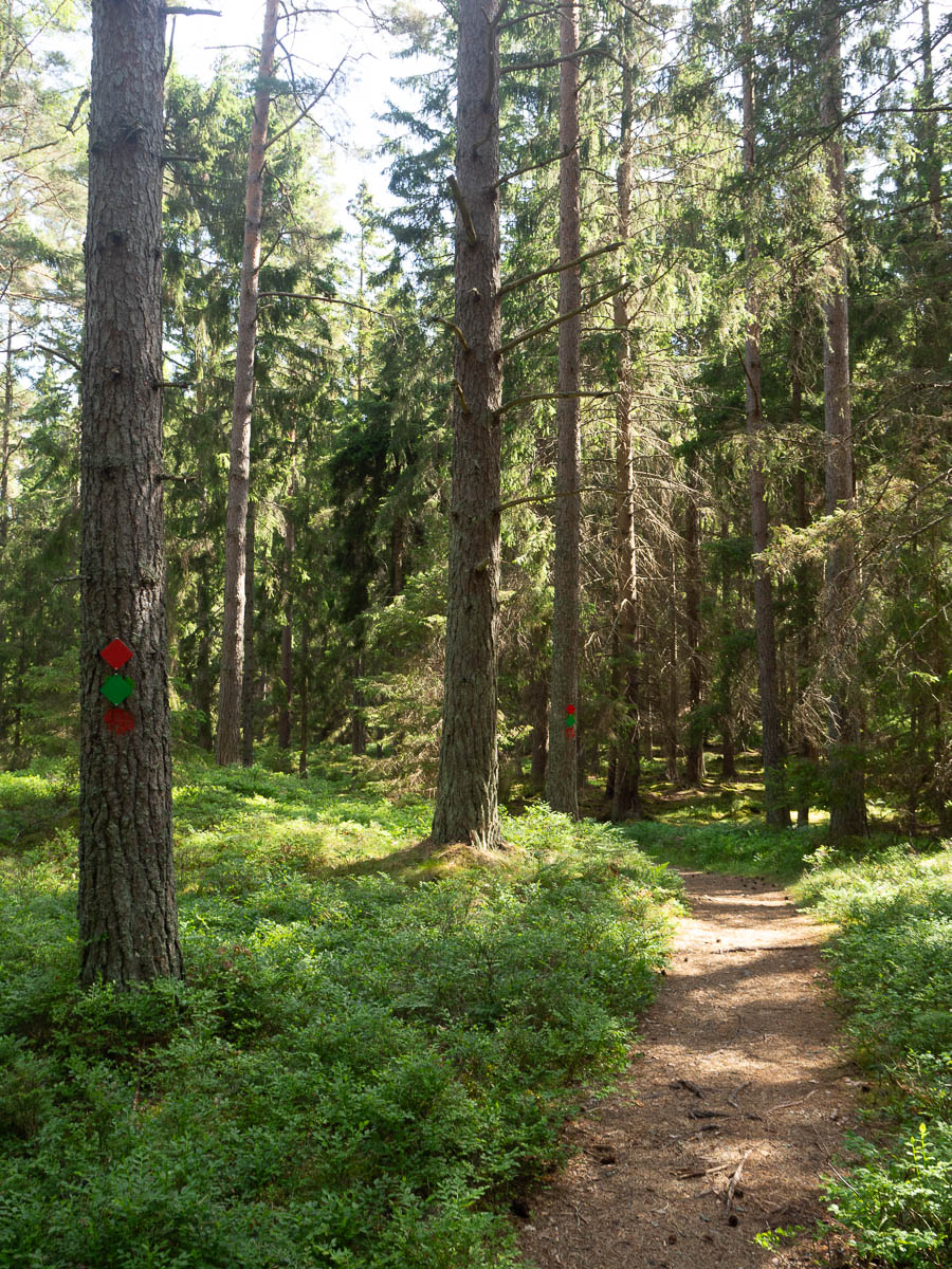
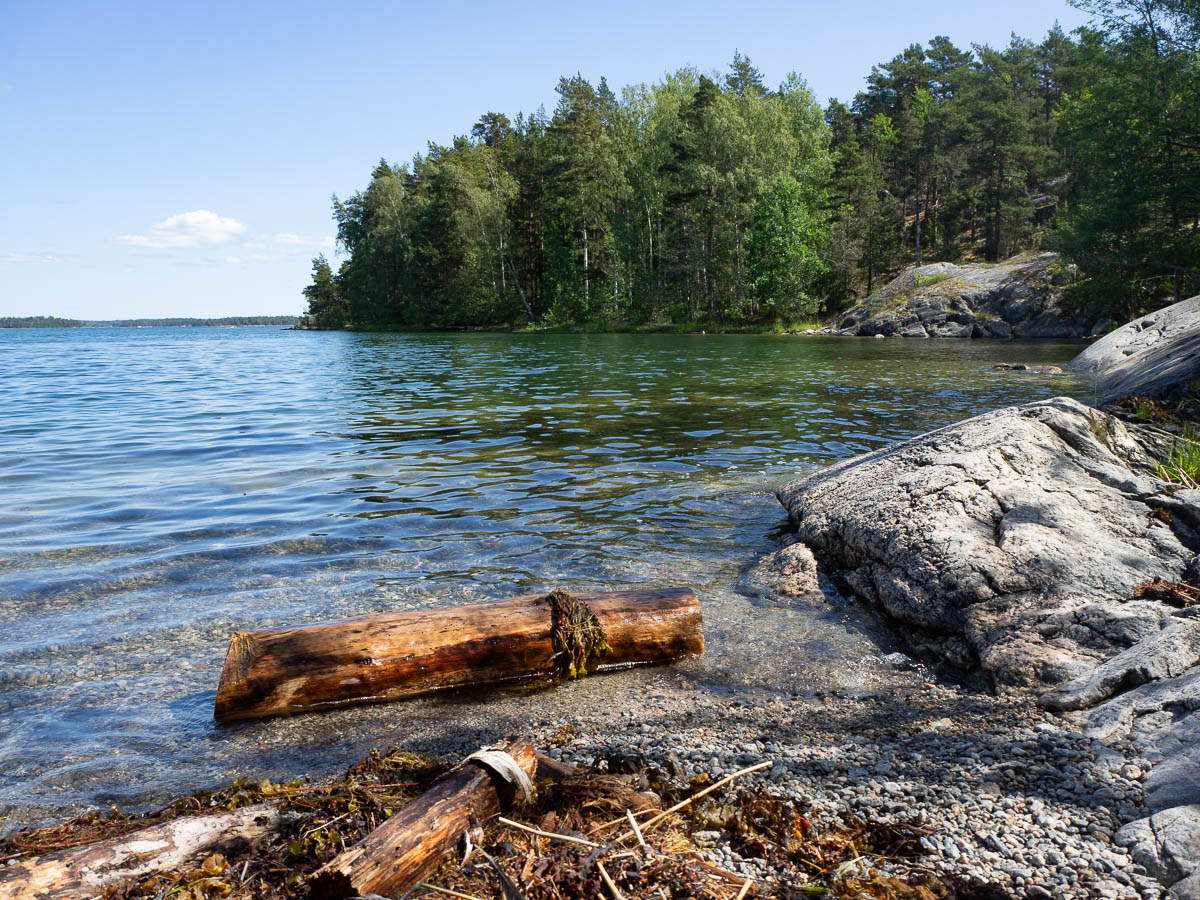
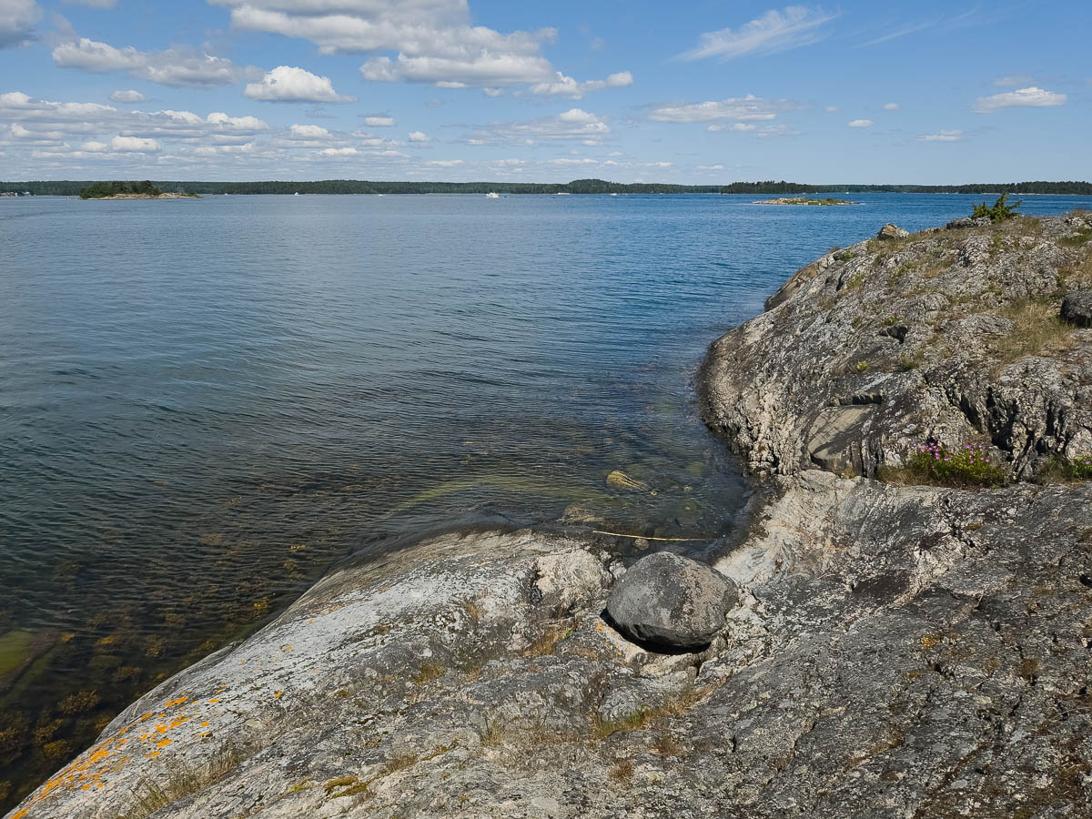
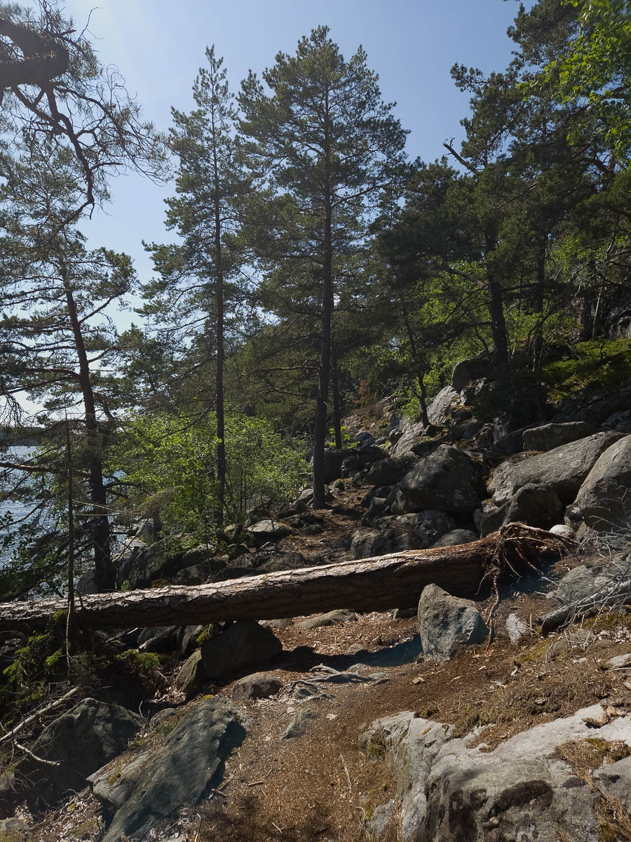
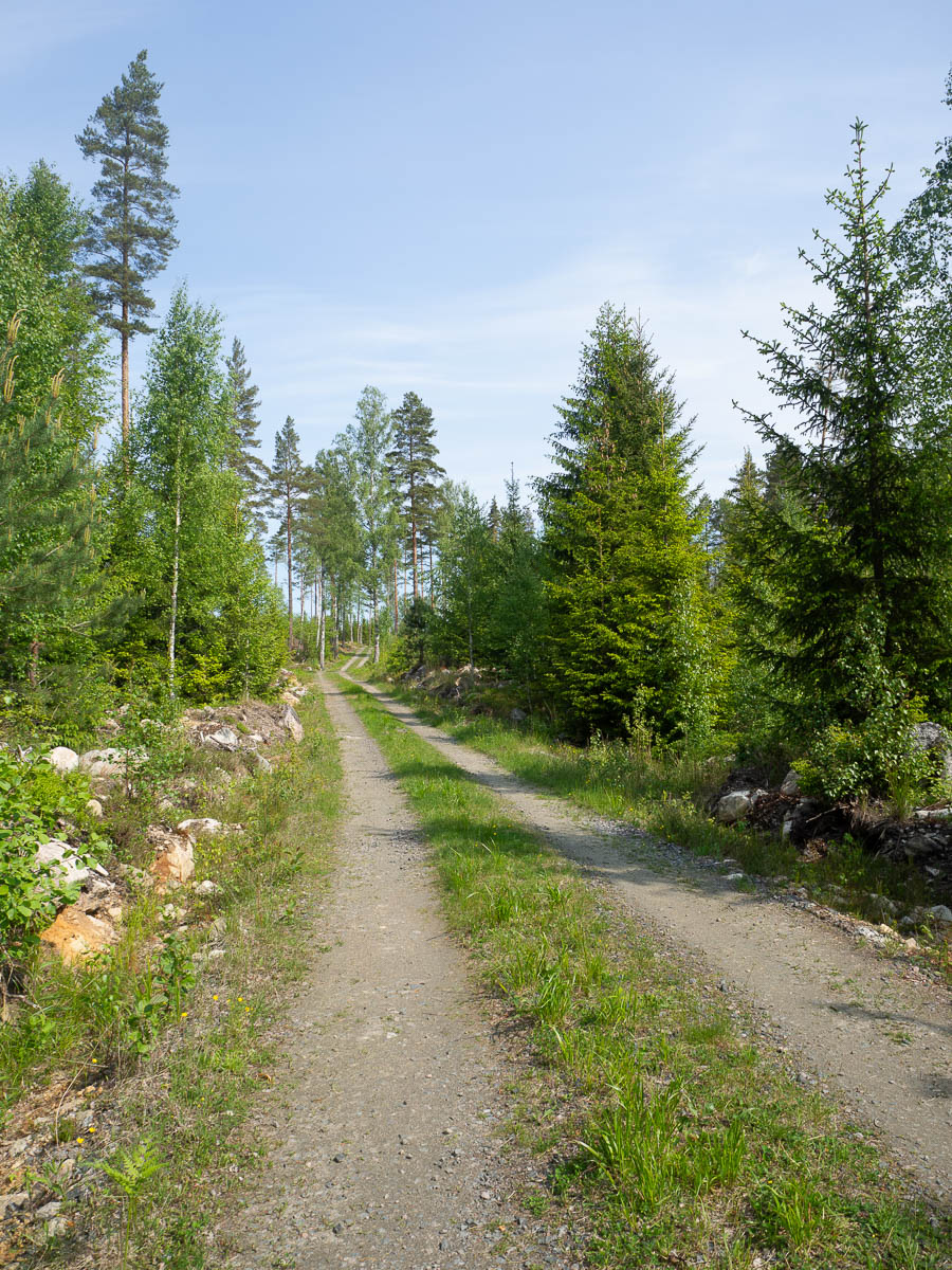
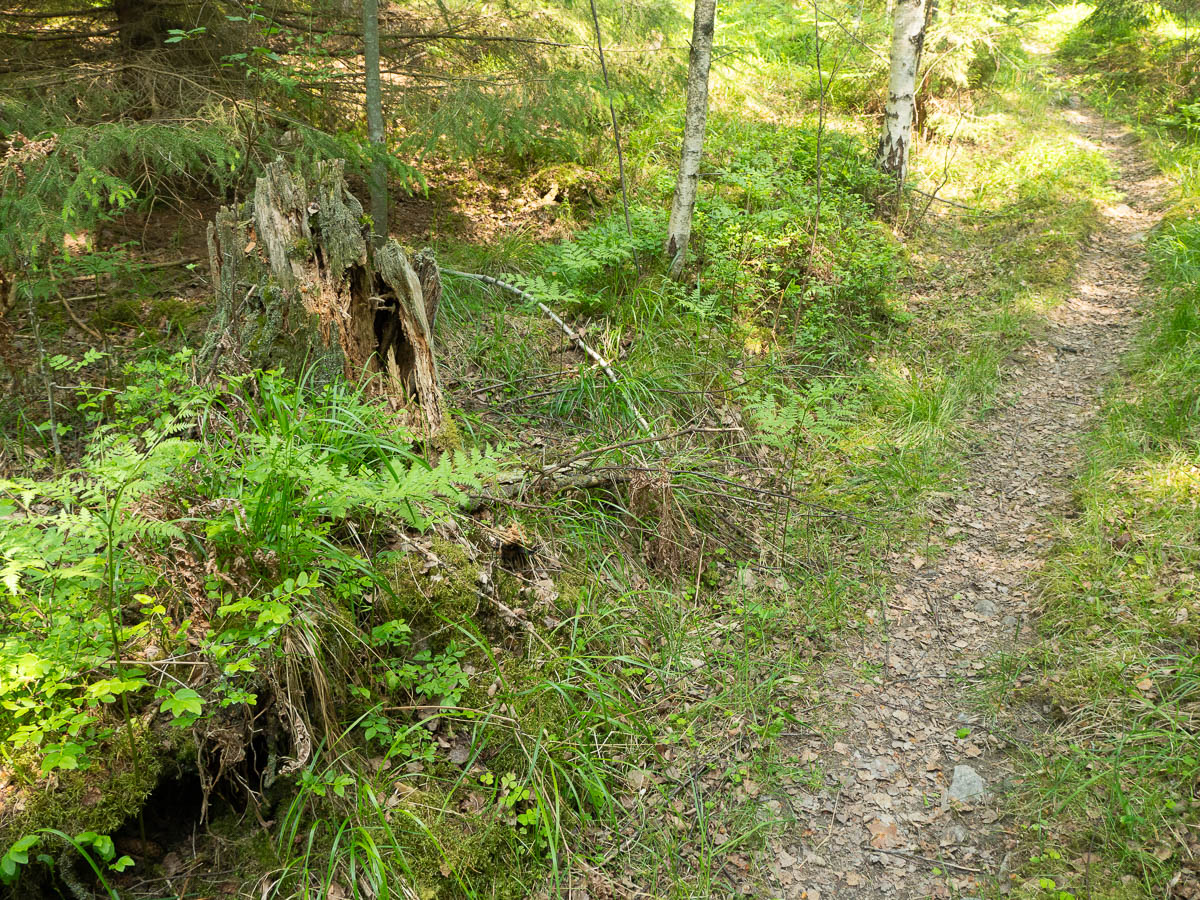
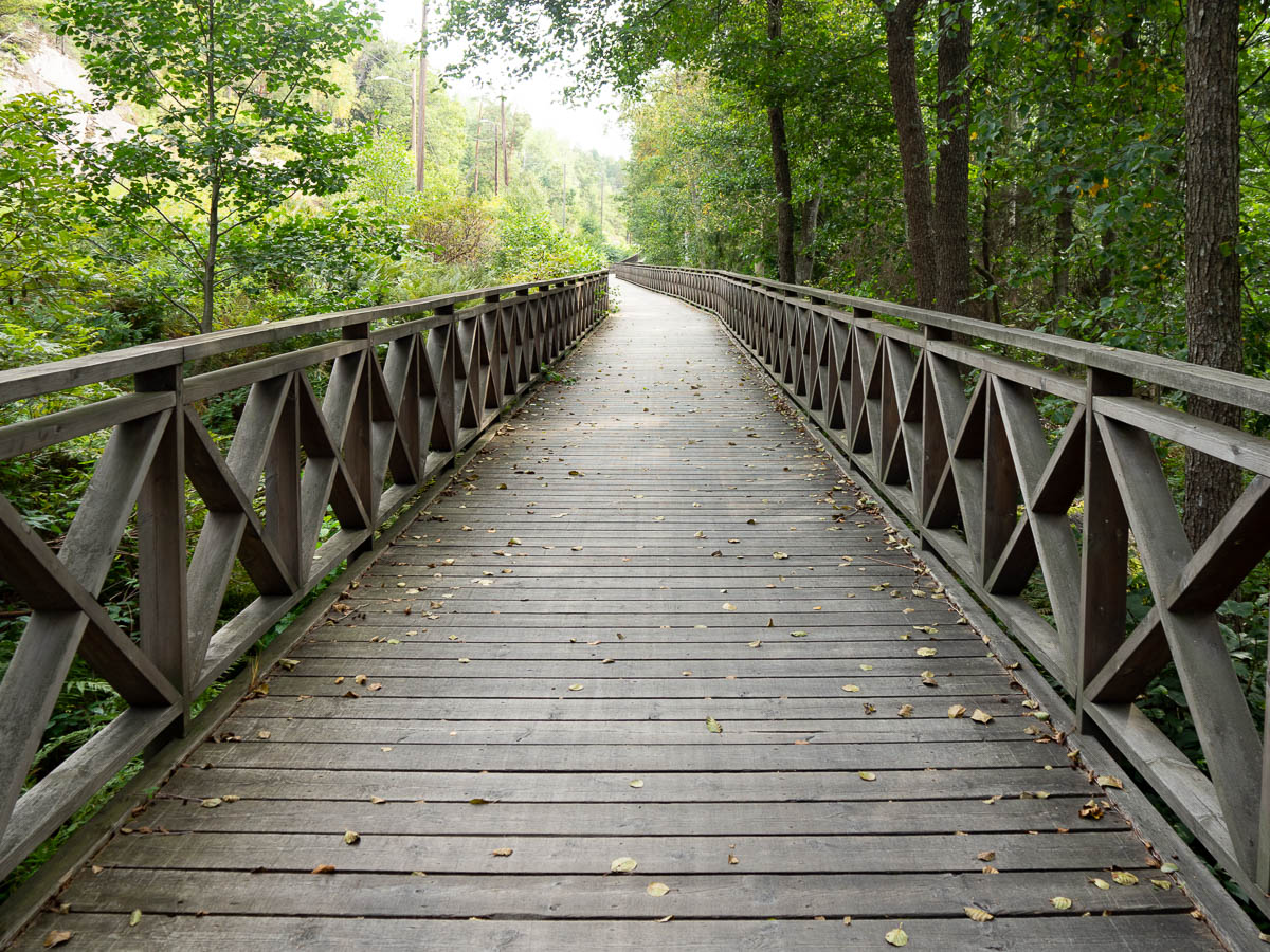
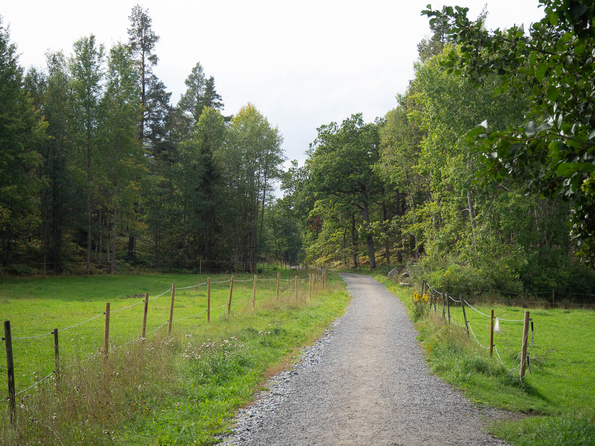
For the last bit after Gustavsberg, I was cycling on forest paths and small local tracks.
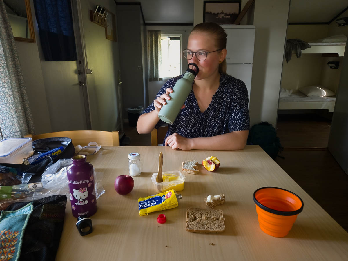
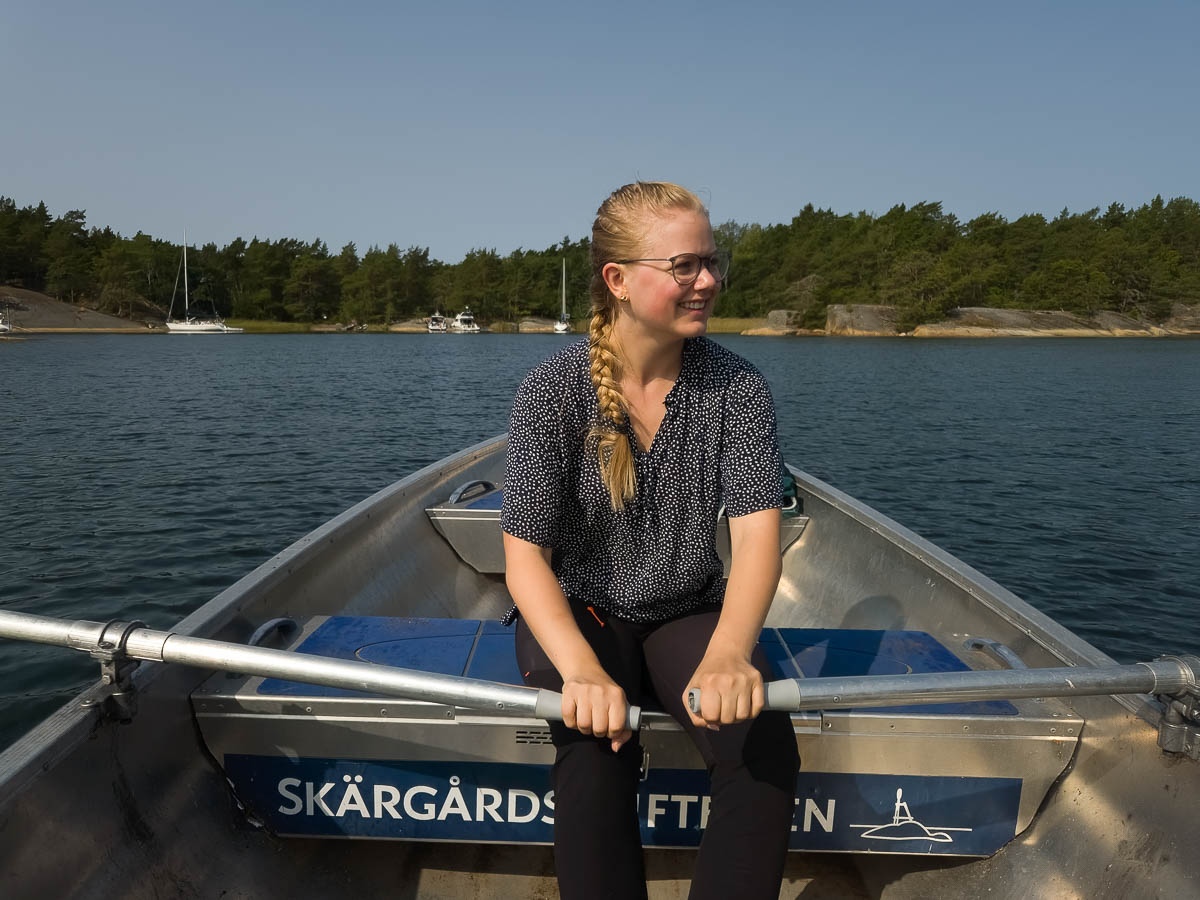
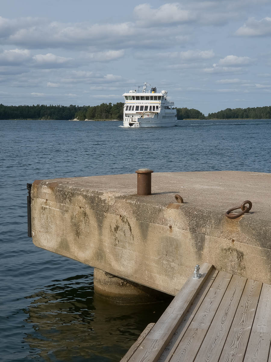
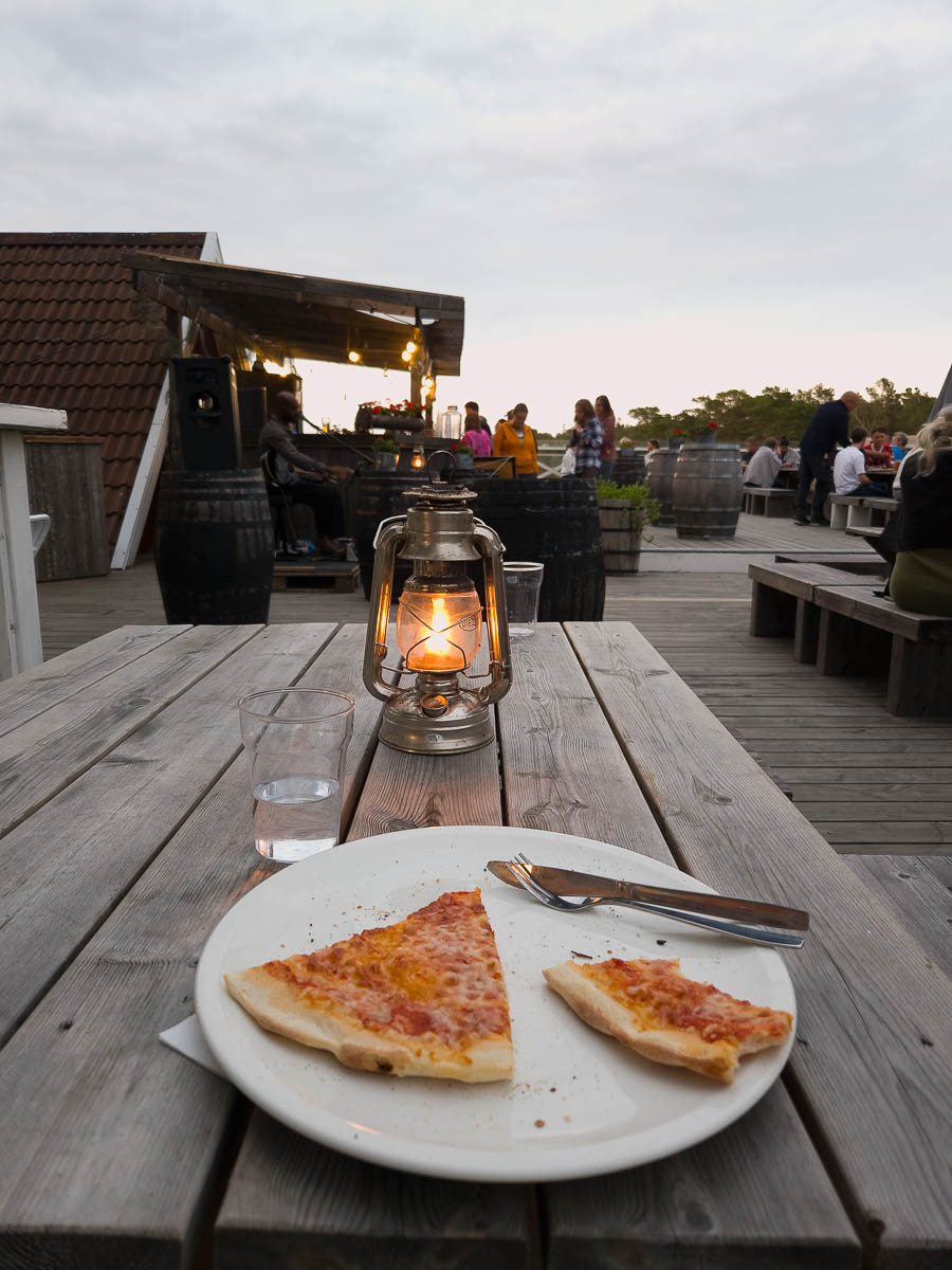
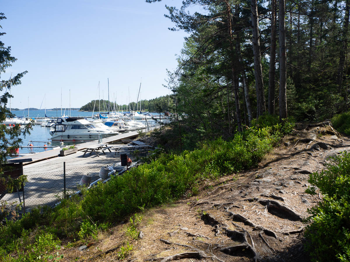
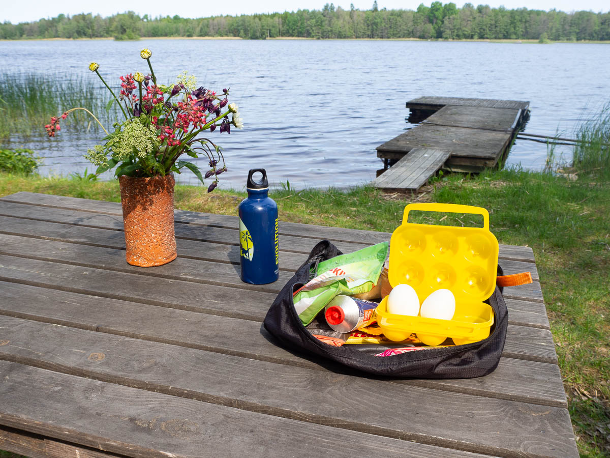
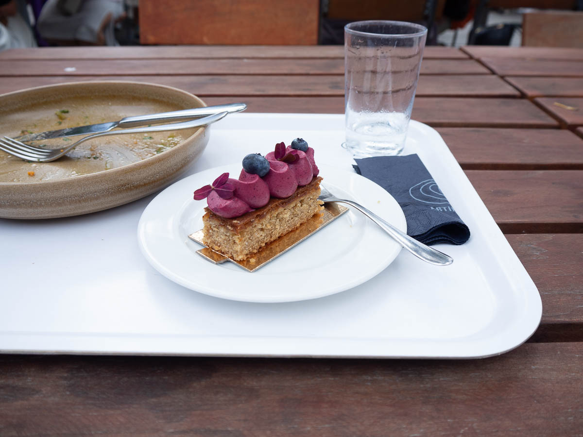
With all the water breaks and map-reading, it took me closer to three hours to reach Artipelag, and I was quite ready for lunch by that time. Artipelag has both a restaurant and a café. The latter served excellent lunch at very reasonable prices. And cake! It felt a little bit like I was cheating on Spånga Konditori by eating fancy cake elsewhere.
I’ll have to make a separate post about the exhibition because this is long enough already.
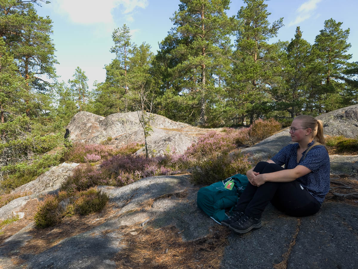
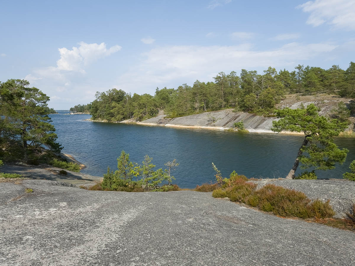
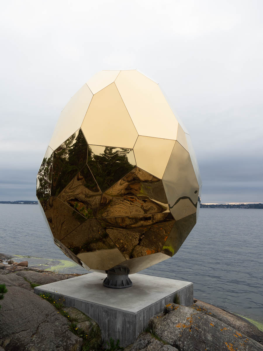
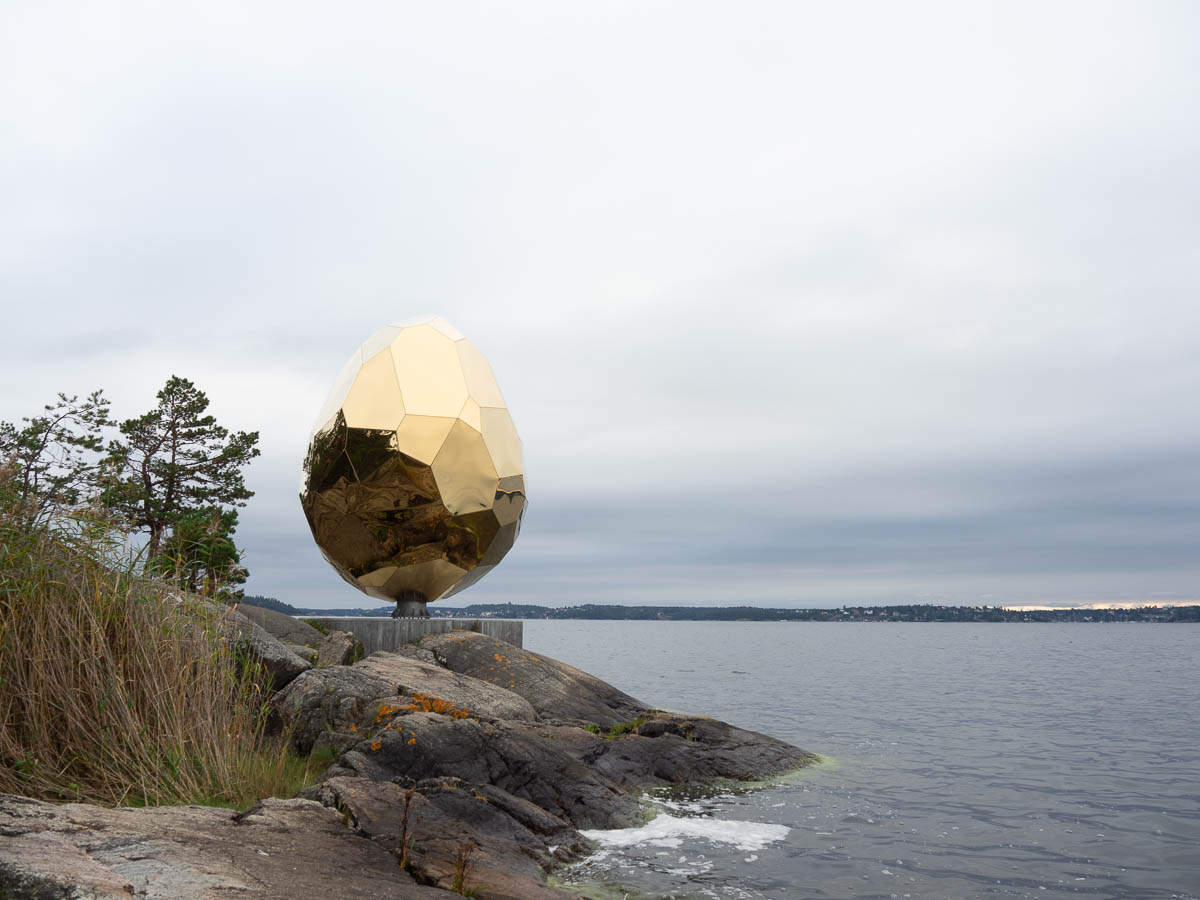
Afterwards I took a short walk around the grounds to see bits of the outdoor sculpture exhibition. Mostly not very exciting… but I loved the Solar Egg. It was originally commissioned for Kiruna in conjunction with the town being moved, and apparently has a sauna inside. Here the sauna doesn’t seem to be open or functioning, so the egg is just a sculpture.
It’s a roughly egg-shaped irregular polyhedron, six metres tall, and it’s strikingly beautiful. More golden than gold, sunnier than the sun itself. Against a grey sky, it was like a revelation from another world. Stainless steel mirrors with titanium gold colour coating, according to the makers.
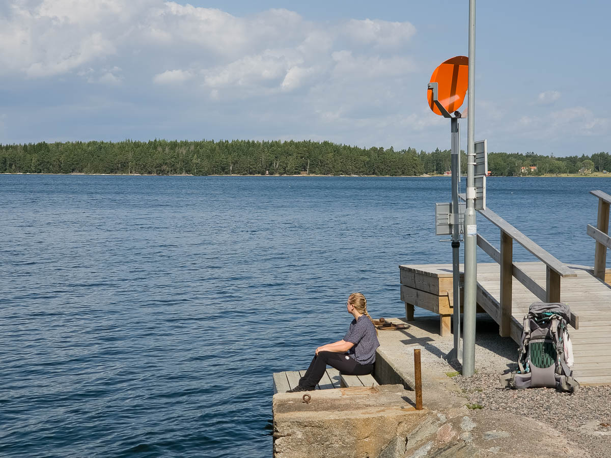
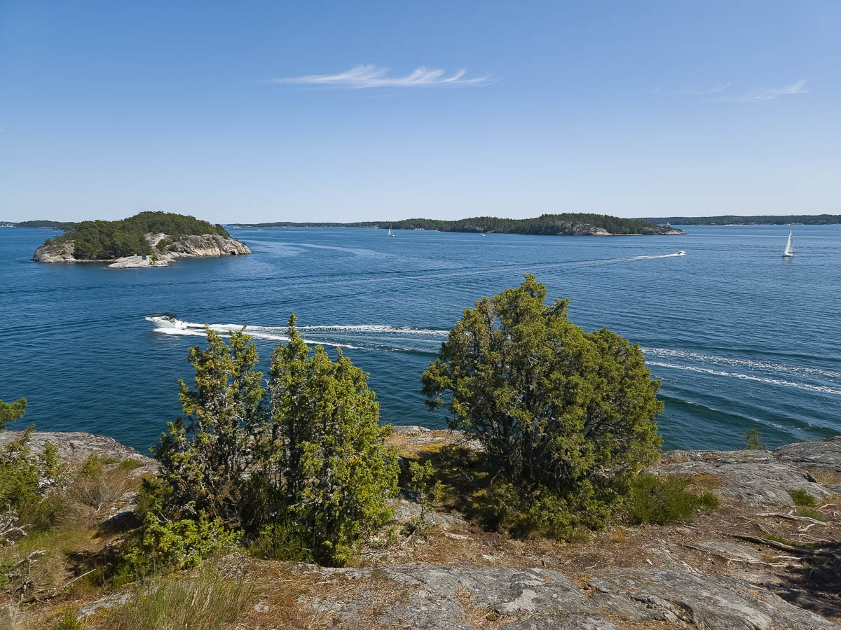
I didn’t stay around for too long, since I still had another 40 km of biking before I’d be home. After two thirds of the way, when I was in reach of the commuter train network, I briefly considered getting on a train with my bike. But the bit that was left was no more than my daily commute home, and that’s nothing, so I just kept going.