Hällesdalen to Stenungsund, 13 km. Only part of today’s walk actually followed the Kuststigen trail – the rest was just to get me to a point where I could hop on a train back to Stockholm.

A chilly, foggy morning, until the sun finally rose above the treetops and banished both the cold and the fog.
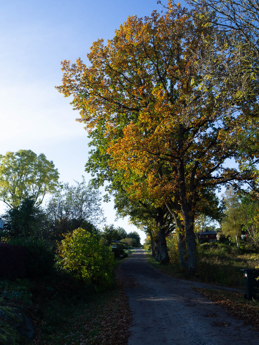
Shortly after breakfast I left the marked trail and made my own way south towards Stenungsund and its train station. I rather enjoyed this, because it gave me something to pay attention to. I mostly zig-zagged along small back roads right in sight of the large, numbered road and managed to stay away from that larger one all the way to the outskirts of Stenungsund.
The online map for Kuststigen was most helpful here, because of its impressive level of detail. It’s a real topographical map, down to the level of individual buildings. In fact the map was consistently more useful than the trail markers these past four days. The blue-topped posts marking the trail were often hard to see: too far apart, hidden in bushes, tucked away behind some electrical cabinet, etc. The easiest way to see whether I was on the right track was to compare the shape of my trail in my tracking app to the shape of the trail on the official Kuststigen site. (What a contrast to Sörmslandsleden, where the physical markers are exemplary and the online maps suck.)

The north side of Stenungsund was truly boring to walk through. A straight, flat road past industrial estates. It was a relief to reach the train station.
All in all, this was one of my most boring hikes. I feel no particular desire to visit this trail again. Perhaps the rest of Kuststigen has more inspiring sections, but if that’s the case then I wish that the designers of this trail had not included these boring parts.
I wouldn’t say these four days were wasted but they definitely didn’t deliver what I had hoped: beautiful views, long hours of meditative walking away from houses and roads and civilization.
Leave a comment